


Neustadt an der Aisch, Germany
Neustadt an der Aisch is a town of 12,448 people in Bavaria, Germany.
Why visit Neustadt an der Aisch
Townapedia lists 20 museums and landmarks, 5 parks and trails, 67 places to eat, 7 places to stay and 23 attractions in and around town.
Highlights include KinoNEA, Eichelberg, Bayerisches Landesluftbildzentrum and BayernLab Neustadt a. d. Aisch.
Weather in Neustadt an der Aisch
Forecast from MET Norway (CC BY 4.0). Full forecast
About Neustadt an der Aisch
Neustadt an der Aisch (German pronunciation: [ˈnɔʏʃtat ʔan deːɐ̯ ˈʔaɪʃ] , lit. 'New City on the Aisch'; officially: Neustadt a.d. Aisch) is a small town of around 13,000 inhabitants in the northern part of Bavaria (Germany), within the Franconian administrative region Middle Franconia.
From the Wikipedia article Neustadt an der Aisch (this version), under CC BY-SA 4.0.
Things to do23

KinoNEA
Cinema and theater
1 Untere Waaggasse, Neustadt an der Aisch
"20 Min vor der ersten Vorstellung bis 1 Stunde nach der letzten...

11 more on the map.
Museums and landmarks20

Bayerisches Landesluftbildzentrum
Museum
Geboten wird: Eine kostenlose multimediale Dauerausstellung mit Regelmäßigen Führungen. Das Bayerisches Landesluftbildarchiv kostenlose...
48 Bamberger Straße, Neustadt an der Aisch
Tu-Fr 10:00-17:00; PH off || "und nach Vereinbarung"
BayernLab Neustadt a. d. Aisch
Museum
48 Bamberger Straße, Neustadt an der Aisch
Tu,We 10:00-17:00 || "und nach Vereinbarung"
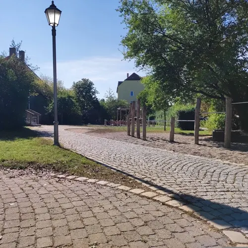



Figurenbeute "Teichwirt"
Monument and historic site · 1.8 km
Bahnhofstraße, Diespeck
Kultur im Kolb / Museum für Archäologie und Gemeindegeschichte
Museum · 4.3 km
14 Hauptstraße
8 more on the map.
Parks, trails and playgrounds5



Restaurants and cafes67

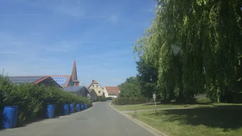
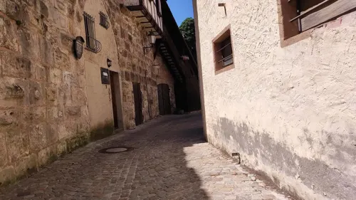

Dampfkessel (mit Biergarten)
Restaurant · Regional, Barbecue
3 Am Schloßgraben, Neustadt an der Aisch
Tu-Su,PH 11:00-15:00, Tu-Su,PH 17:00-23:00

Eiscafe Il Centro
Cafe · Ice Cream
7 Marktplatz, Neustadt an der Aisch
Mo-Sa 09:30-21:00,Su,PH 10:30-21:00
Gasthof Kohlenmühle
Restaurant · Regional
53 Bamberger Straße
Tu 17:00-22:00; We-Th 11:00-14:00, 17:00-22:00; Fr-Sa 11:00-22:00;...
Gasthof zur Sonne
Restaurant · Regional
18 Nürnberger Straße, Neustadt an der Aisch
We-Sa 17:30-23:00; Su 11:30-14:00,17:00+
Il Ristorante Aeronautica
Restaurant · Italian · 2.7 km
1 Flugplatz, Neustadt an der Aisch
Fr-Sa 17:00-22:00, Su 11:00-22:00 || Mar-Dec: Sa 11:00-22:00 || Sa...
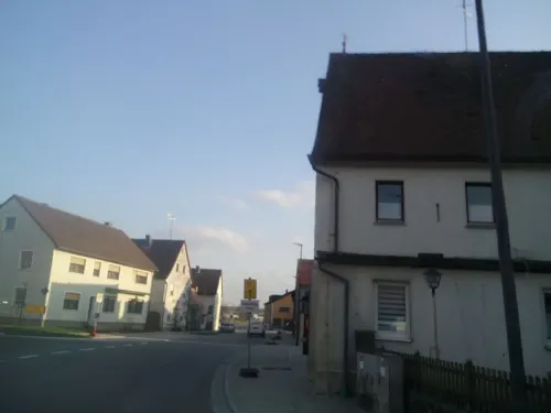
Radlertreff Gutenstetten
Restaurant · German · 4.3 km
14 Hauptstraße, Gutenstetten
Fr 17:00-22:00, Su 15:00-22:00
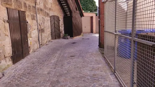


Backstube Merkel
Bakery
45 Wilhelmstraße, Neustadt an der Aisch
Mo-Fr 06:30-18:00, Sa 06:30-12:00, Su 07:30-11:30
55 more on the map.
History
In 741, for the first time, Riedfeld, the town's root settlement, was documented as the German king's court. However, in 1285 the town's name is documented for the first time as "Nivenstadt".
At the end of the 12th century, Neustadt became part of the sovereign territory of the burgraves of Nuremberg, the dynasty of the Hohenzollern. The House of Hohenzollern developed Neustadt into an economical, political and also cultural centre of its region, mainly because of its favourable geographical position in the middle of the main trade route between Würzburg and Nuremberg.
At the end of the 15th century, Margrave Albrecht Achilles and Kurfürstin (Electress) Anna completed Neustadt as a stronghold.
In 1553, in the Second Margrave War, the town was burnt down. Afterwards, a long lasting phase of construction and extension began. This phase ended with the destructions of the Thirty Years' War. The rebuilding after that war lasted several hundreds of years.
From 1791 through to 1806, Neustadt was part of the sovereign territory of Prussia, then was military governed by the French, and in 1810 became finally part of the Kingdom of Bavaria. The political importance of Neustadt faded thereafter, but trade and industry kept growing due to the deployment of a garrison of the Uhlans, and in 1865 due to the opening of its station on the Nuremberg–Würzburg Railway.
From the History section of Neustadt an der Aisch on Wikipedia, under CC BY-SA 4.0.
Where to stay7
Churches and places of worship13
St. Kilian
Church · Lutheran · 6.0 km
3 Mittlere Dorfstraße, Gutenstetten
St. Johannis Enthauptung
Church · Catholic
3 Ansbacher Straße, Neustadt an der Aisch
Shopping15
Gas and EV charging12
chargeIT mobility Charging Station
EV charging · 0.7 km
2 Konrad-Adenauer-Straße, Neustadt an der Aisch
Schools, colleges and libraries9
Healthcare9
Map of Neustadt an der Aisch
180 places. The map loads OpenStreetMap tiles when you open it.
Getting there and nearby towns
Illesheim Army Heliport (ILH) is the nearest airport with scheduled flights listed in OpenStreetMap, 20 km away.
- Erlangen 29 km east, about 29 min by car
- Fürth 30 km southeast, about 30 min by car
- Zirndorf 29 km southeast, about 29 min by car
- Roßtal 29 km southeast, about 29 min by car
- Oberasbach 30 km southeast, about 30 min by car
- Nuremberg 36 km east, about 36 min by car
- Rothenburg ob der Tauber 38 km southwest, about 38 min by car
- Schwabach 41 km southeast, about 41 min by car
- Ochsenfurt 41 km west, about 41 min by car
- Wendelstein 46 km southeast, about 46 min by car
Drive times are estimates from straight-line distance, not routes.
Local news
Headlines from INDB.
Reviews, tips and questions
Loading what members have shared...
Sources and licences
- GeoNames (CC BY 4.0): population, coordinates, regions and time zone
- Mapillary (see each image): photos
- OpenStreetMap contributors (ODbL 1.0): places, airports, map data
- Wikidata (CC0 1.0): elevation, founding date, time zone, website
- Wikimedia Commons (see each image): photos
- Wikipedia (CC BY-SA 4.0): overview and history text
Photo credits
- Neustadt a d Aisch - Hohe Straß - nördl Innenstadt, Nürnberger Tor v N 02, Flodur63, CC BY-SA 4.0
- Neustadt an der Aisch - Max-Döllner-Platz - Gänsebrunnen - 02, Howwi, CC BY-SA 3.0
- Neustadt an der Aisch - Max-Döllner-Platz - Gänsebrunnen - 01, Howwi, CC BY-SA 3.0
- Neustadt an der Aisch, der Nürnberger Tor DmD-5-75-153-73 poging3 foto13 gedaan 2016-08-05 19.42, Michielverbeek, CC BY-SA 4.0
- Neustadt an der Aisch, das Rathaus DmD-5-75-153-55 foto10 2016-08-05 19.52, Michielverbeek, CC BY-SA 4.0
- Amtsgericht Neustadt an der Aisch 01, Aarp65, CC BY-SA 4.0
- Amtsgericht Neustadt an der Aisch 02, Aarp65, CC BY-SA 4.0
- Suehnekreuz-Neustadt an der Aisch4, lutzto, CC BY-SA 3.0
- Markungsstein-Neustadt an der Aisch, lutzto, CC BY-SA 3.0
- Hofmann Bier, Arnoldus9, CC BY-SA 4.0
- Stübach St. Bartholomäus 001, Tilman2007, CC BY 3.0
- Diespeck St. Johannes 008, Tilman2007, CC BY 3.0
- Neustadt an der Aisch Friedhofskirche Zur Himmelfahrt Christi 003, Tilman2007, CC BY 3.0
- Neustadt an der Aisch, kath. Pfarrkirche-002, Tilman2007, CC BY-SA 3.0
- Herrnneuses St. Matthäus 003, Tilman2007, CC BY 3.0
- Schauerheim St. Katherina 001, Tilman2007, CC BY 3.0
- Gutenstetten Kirchenweg12 Kirche 2 D-5-75-128-7, Joachim Fritz, CC BY-SA 3.0
- Hambühl St. Matthäus 005, Tilman2007, CC BY 3.0
- Ev. Stadtpfarrkirche Neustadt an der Aisch 20181025 001, Tilman2007, CC BY-SA 4.0
- Münchsteinach Müster Exteriror-012, Tilman2007, CC BY 3.0
- Neustadt an der Aisch, Altes Schloß-005, Tilman2007, CC BY-SA 3.0
- Neustadt an der Aisch, Maschikelesturm-004, Tilman2007, CC BY-SA 3.0
- Münchsteinach Müster Exteriror-002, Tilman2007, CC BY 3.0
- Reihardshofen St. Kilian 001, Tilman2007, CC BY 3.0
- Birkenfeld, Klosterkirche St. Maria-003, Tilman2007, CC BY-SA 3.0
- Evang.-Luth. Pfarrkirche St. Johannes Baptist und Laurentius Gutenstetten 20210402 218, Tilman2007, CC BY-SA 4.0
- Reinhardshofen, Mittlere Dorfstraße 3 Gutenstetten 20210402 251, Tilman2007, CC BY-SA 4.0
- Schauerheim, Kirchstraße 4 Neustadt an der Aisch 20210402 071, Tilman2007, CC BY-SA 4.0
- Unerreichbare Treppe ins Nichts - panoramio, Siegmar S., CC BY-SA 3.0
- Neustadt Aisch Bamberger Strasse 0563, AlexanderRahm, CC BY-SA 3.0
- Neustadt Aisch Wilhelmstrasse 0574, AlexanderRahm, CC BY-SA 3.0
- NeustadtAisch StJohBapt SE Kreuzigungsgruppe IMG 20240706 1126, Karlunun, CC0
- Luitpoldbrunnen Peter-Kolb-Platz 3 Neustadt, Padd y, CC BY-SA 4.0
- NeustadtAisch Pulverturm S 350 IMG 20240706 1139, Karlunun, CC0
- Forstamt Neustadt, Padd y, CC BY-SA 4.0
- Kneipp-Anlage im Luitpoldpark - panoramio, Siegmar S., CC BY-SA 3.0
- NeustadtAisch Stolperstein Stahl, Marianne, Wiki surfer bcr, CC BY-SA 4.0
- NeustadtAisch Stolperstein Schloss, Irene, Wiki surfer bcr, CC BY-SA 4.0
- NeustadtAisch Stolperstein Schwab, Liesl, Wiki surfer bcr, CC BY-SA 4.0
- NeustadtAisch Stolperstein Schwab, Hans, Wiki surfer bcr, CC BY-SA 4.0
- Street-level photo, msdess, CC BY-SA 4.0
- Street-level photo, ottor, CC BY-SA 4.0
- Street-level photo, su1dakra, CC BY-SA 4.0
- Street-level photo, falk, CC BY-SA 4.0
- Street-level photo, msdess, CC BY-SA 4.0
- Street-level photo, msdess, CC BY-SA 4.0
- Street-level photo, msdess, CC BY-SA 4.0
- Street-level photo, msdess, CC BY-SA 4.0
- Street-level photo, msdess, CC BY-SA 4.0
- Street-level photo, thetornado76, CC BY-SA 4.0
- Street-level photo, chri_som, CC BY-SA 4.0
- Street-level photo, msdess, CC BY-SA 4.0
- Street-level photo, thetornado76, CC BY-SA 4.0
- Street-level photo, ottor, CC BY-SA 4.0
- Street-level photo, chri_som, CC BY-SA 4.0
- Street-level photo, falk, CC BY-SA 4.0


Page built November 8, 2026. Spotted a mistake? Tell us or suggest a place.