


Hüllhorst, Germany
Hüllhorst is a town of 13,776 people in North Rhine-Westphalia, Germany.
Why visit Hüllhorst
Townapedia lists 40 museums and landmarks, 19 parks and trails, 85 places to eat, 4 places to stay and 31 attractions in and around town.
Highlights include Hof Böker, Wartturm, Wasserschloss Ulenburg and Babilonie.
Weather in Hüllhorst
Forecast from MET Norway (CC BY 4.0). Full forecast
About Hüllhorst
Hüllhorst (German pronunciation: [ˈhʏlˌhɔʁst] ; Low German: Hüllhuost) is a municipality of the Minden-Lübbecke district, in North Rhine-Westphalia, Germany.
From the Wikipedia article Hüllhorst (this version), under CC BY-SA 4.0.
Things to do31


Wartturm
Monument and historic site · 3.8 km
Historical Watchtower in Germany
Biohof Oberhaus
Farm and orchard · 4.1 km
6 Kanalweg, Lübbecke
We 15:00-18:00, Sa 08:00-12:00
Hofladen Niemeier
Farm and orchard · 5.5 km
16 Glockenbrink, Bad Oeynhausen
Mo-Fr 08:00-18:00; Sa 08:00-13:00




19 more on the map.
Museums and landmarks40

Wasserschloss Ulenburg
Monument and historic site · 5.7 km
3a - Schlossanlage mit Herrenhaus, Gräfte, Park und Mühle. 3b - Turmuhr

Babilonie
Monument and historic site · 6.3 km
Hill fort and Roman oppidum in North Rhine-Westphalia, Germany

Burgmannshof
Monument and historic site · 4.7 km
29 Am Markt, Lübbecke





Gehrmker Hius
Monument and historic site · 4.0 km
45 Lindenstraße, Lübbecke

Windmühle Struckhof
Monument and historic site · 4.9 km
16 Wulferdingsener Straße, Hüllhorst
28 more on the map.
Parks, trails and playgrounds19







7 more on the map.
Restaurants and cafes85
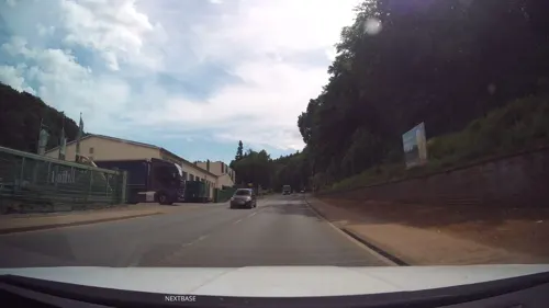
Barres Brauwelt
Restaurant · German, Regional, Local · 4.2 km
121 Berliner Straße, Lübbecke
Tu-Sa 17:00-22:00; Su 10:00-16:00

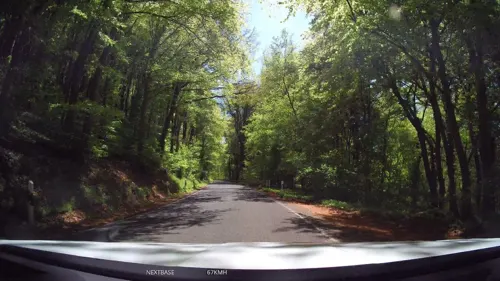
Cafe Waldkristall
Cafe · Cake, Breakfast · 3.1 km
141 Bergstraße, Hüllhorst
We-Fr 09:30-18:00, Sa,Su 10:00-18:00

Café Vielfalt
Cafe · Regional · 2.6 km
208 Büttendorfer Straße, Hüllhorst
Sa 09:30-12:30; Su,PH 09:30-12:30,14:30-18:00
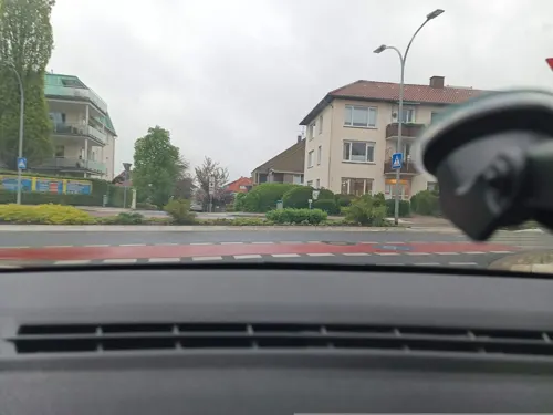
Pizzeria da Silvio
Restaurant · Pizza · 4.9 km
3 Gerichtsstraße, Lübbecke
Th-Sa 12:00-14:00,17:30-22:30
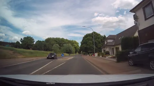
ZEUS
Restaurant · Greek · 1.6 km
17 Ahlsener Straße, Hüllhorst
Tu-Sa 17:30-23:00; Su,PH 12:00-14:30,17:00-23:00

Bäckerei Karlchen's Backstube
Bakery · 4.7 km
81 Stiftstraße, Kirchlengern
Mo-Fr 06:00-18:00; Sa 06:00-13:00; Su 07:00-12:00
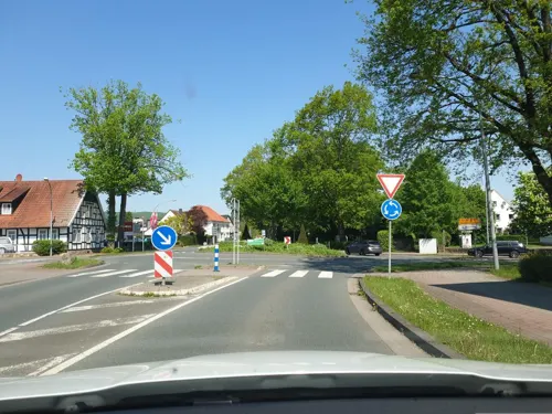


73 more on the map.
Where to stay4
Churches and places of worship26
Shopping26
Gas and EV charging12
Schools, colleges and libraries23
Healthcare10
VIVAS Apotheke im Kaufland
Clinic and pharmacy · 5.6 km
4 Strubbergstraße, Lübbecke
Map of Hüllhorst
250 places. The map loads OpenStreetMap tiles when you open it.
Getting there and nearby towns
Flugplatz Bielefeld (BFE) is the nearest airport with scheduled flights listed in OpenStreetMap, 35 km away.
- Lübbecke 5 km northwest, about 5 min by car
- Kirchlengern 9 km south, about 9 min by car
- Löhne 10 km south, about 10 min by car
- Preußisch Oldendorf 12 km west, about 12 min by car
- Rödinghausen 13 km west, about 13 min by car
- Minden 17 km east, about 17 min by car
- Porta Westfalica 18 km east, about 18 min by car
- Vlotho 18 km southeast, about 18 min by car
- Rahden 18 km north, about 18 min by car
- Spenge 20 km southwest, about 20 min by car
Drive times are estimates from straight-line distance, not routes.
Local news
Headlines from INDB.
Reviews, tips and questions
Loading what members have shared...
Sources and licences
- GeoNames (CC BY 4.0): population, coordinates, regions and time zone
- Mapillary (see each image): photos
- OpenStreetMap contributors (ODbL 1.0): places, airports, map data
- Wikidata (CC0 1.0): elevation, founding date, time zone, website, landmarks and historic places
- Wikimedia Commons (see each image): photos
- Wikipedia (CC BY-SA 4.0): overview and history text
Photo credits
- Falk Oberdorf Heidbrinkhütte, Falk Oberdorf, Osterstr. 8, 32312 Lübbecke, Public domain
- 2019-06-16 Gartenweg 4, Hüllhorst (NRW), YvoBentele, CC BY-SA 4.0
- 2019-06-16 ND Stieleiche in Hüllhorst (NRW) 01, YvoBentele, CC BY-SA 4.0
- 2019-06-16 ND Stieleiche in Hüllhorst (NRW) 02, YvoBentele, CC BY-SA 4.0
- 2014-04 Husenmühle Hüllhorst, Yvonne Bentele, CC BY-SA 3.0 de
- 2019-06-16 Nachtigallental 8, Hüllhorst (NRW), YvoBentele, CC BY-SA 4.0
- Hüllhorst geothermische Karte, Hagar66, CC BY-SA 3.0
- -88 Hongsermeier Hüllhorst, Varus111, CC BY-SA 4.0
- 2019-06-16 ND Rosskastanie in Hüllhorst (NRW) 02, YvoBentele, CC BY-SA 4.0
- 2019-06-16 ND Rosskastanie in Hüllhorst (NRW) 01, YvoBentele, CC BY-SA 4.0
- Wartturm Luebbecke 01, Sail over, CC BY-SA 3.0
- Obermehnen, Hopfenpflücker, CC BY-SA 3.0
- Falk Oberdorf Sant Andreas Kirche, Falk Oberdorf, Osterstr. 8, 32312 Lübbecke, Public domain
- Burg-Reineberg Lübbecke 01, Grugerio, CC BY-SA 3.0
- Burgmannshof-Luebbecke, Andrucha, CC BY-SA 3.0
- Freilichtbühne Nettelstedt, Azepedia, CC BY-SA 3.0
- Wallücke Elfter Kopf, Pbmedia, CC BY-SA 3.0
- Mehrere blaue Moorfrosch‑Männchen (Rana arvalis) mit einem Weibchen im Amplexus, Tanja Riedel, CC BY 4.0
- Falk Oberdorf Meesenkopf 3, Falk Oberdorf, Osterstr. 8, 32312 Lübbeck, Public domain
- Falk Oberdorf Heidkopf und Reineberg, Falk Oberdorf, Osterstr. 8, 32312 Lübbecke, Public domain
- Obernfelde1, Ingo2802 The original uploader was Ingo2802 at German Wikipedia ., CC BY-SA 3.0
- Falk Oberdorf Kahle Wart, Falk Oberdorf, Osterstr. 8, 32312 Lübbecke, Public domain
- Falk Oberdorf Baerlauch1, FalkOberdorf , Osterstr. 8, 32312 Lübbecke, CC BY-SA 3.0
- Loehne Ulenburg, Intertorsten at German Wikipedia, CC BY-SA 3.0
- Ulenburg - NSG Rehmerloh-Mennighüffer Mühlenbach - 03, Ath, CC0
- Schnathorst Dorfkirche, McCormick at German Wikipedia, Public domain
- Falk Oberdorf Freibadpark 02, Falk Oberdorf, Osterstr. 8, 32312 Lübbecke, CC BY-SA 4.0
- St. Canisius und St. Xaverius (Stift Quernheim) (1), Chris06, CC BY-SA 4.0
- Luebbeckebierbrun110812 072, Arnold Plesse, CC BY-SA 3.0 de
- Bierbrunnen Lübbecke, Gerd Fahrenhorst, CC BY 4.0
- Ulenburg - NSG Rehmerloh-Mennighüffer Mühlenbach - 01, Ath, CC0
- Falk Oberdorf Ansicht Lubbecke, FalkOberdorf at German Wikipedia, CC BY-SA 3.0
- Bühne Freilichtbühne Nettelstedt, P6G47TG, CC BY-SA 4.0
- Falk Oberdorf Sonnenwinkel, Falk Oberdorf , Osterstr.8, 32312 Lübbecke, Public domain
- Quernheim1, Chris06, Public domain
- Falk Oberdorf Freibadpark 01, Falk Oberdorf, Osterstr. 8, 32312 Lübbecke,, CC BY-SA 4.0
- Huellhorst1, Ingo2802 09:33, 24. Feb. 2008 (CET), CC BY-SA 3.0
- Falk Oberdorf Breitenbrink Gipfel, Falk Oberdorf, Osterstr. 8. 32312 Lübbecke, CC BY-SA 4.0
- Husenmühle1, Ingo2802 22:15, 11. Feb. 2008 (CET), CC BY-SA 3.0
- Husenmühle3, Ingo2802 22:21, 11. Feb. 2008 (CET), CC BY-SA 3.0
- Windmühle Struckhof farbe, The original uploader was McCormick at German Wikipedia ., CC BY-SA 3.0
- Street-level photo, toaskoas, CC BY-SA 4.0
- Street-level photo, ImoEx, CC BY-SA 4.0
- Street-level photo, Schmarvis, CC BY-SA 4.0
- Street-level photo, toaskoas, CC BY-SA 4.0
- Street-level photo, Schmarvis, CC BY-SA 4.0
- Street-level photo, Schmarvis, CC BY-SA 4.0
- Street-level photo, Schmarvis, CC BY-SA 4.0
- Street-level photo, MikePeters, CC BY-SA 4.0
- Street-level photo, MikePeters, CC BY-SA 4.0
- Street-level photo, Schmarvis, CC BY-SA 4.0
- Street-level photo, toaskoas, CC BY-SA 4.0
- Street-level photo, Schmarvis, CC BY-SA 4.0
- Street-level photo, Schmarvis, CC BY-SA 4.0
- Street-level photo, toaskoas, CC BY-SA 4.0
- Street-level photo, Schmarvis, CC BY-SA 4.0
- Street-level photo, Schmarvis, CC BY-SA 4.0
- Street-level photo, Schmarvis, CC BY-SA 4.0
- Street-level photo, Schmarvis, CC BY-SA 4.0
- Street-level photo, MikePeters, CC BY-SA 4.0
- Street-level photo, MikePeters, CC BY-SA 4.0
- Street-level photo, spindle, CC BY-SA 4.0
- Street-level photo, ImoEx, CC BY-SA 4.0


Page built November 8, 2026. Spotted a mistake? Tell us or suggest a place.