


Lübbecke, Germany
Lübbecke is a town of 26,815 people in North Rhine-Westphalia, Germany.
Why visit Lübbecke
Townapedia lists 47 museums and landmarks, 27 parks and trails, 92 places to eat, 6 places to stay and 28 attractions in and around town.
Highlights include Obsthof Wickemeyer, Wartturm, Deutsches Automatenmuseum and Schloss Benkhausen.
Weather in Lübbecke
Forecast from MET Norway (CC BY 4.0). Full forecast
About Lübbecke
Lübbecke ([ˈlʏbəkə] ; Westphalian: Lübke) is a town in northeast North Rhine-Westphalia in north Germany. This former county town lies on the northern slopes of the Wiehen Hills (Wiehengebirge) and has around 26,000 inhabitants. The town is part of district of Minden-Lübbecke within the Regierungsbezirk of Detmold in the Ostwestfalen-Lippe region. Lübbecke was first mentioned in the records in 775 as hlidbeki and was given town rights in 1279.
From the Wikipedia article Lübbecke (this version), under CC BY-SA 4.0.
Travel tips from other travellers: Lübbecke on Wikivoyage (CC BY-SA 4.0).
Things to do28

Obsthof Wickemeyer
Farm and orchard · 4.8 km
7 Dummerter Straße, Preußisch Oldendorf
Mo-Fr 08:30-18:00, Sa 08:30-13:00

Wartturm
Monument and historic site · 2.7 km
Historical Watchtower in Germany
Biohof Oberhaus
Farm and orchard · 5.1 km
6 Kanalweg, Lübbecke
We 15:00-18:00, Sa 08:00-12:00



16 more on the map.
Museums and landmarks47


Schloss Benkhausen
Monument and historic site · 5.0 km


Babilonie
Monument and historic site · 4.2 km
Hill fort and Roman oppidum in North Rhine-Westphalia, Germany

Moorhus Besucherzentrum
Monument and historic site · 4.4 km
57a Frotheimer Straße, Lübbecke
Mo,Tu off; Apr-Sep We-Sa 14:00-18:00, Su,PH 11:00-18:00;...





Germanisch-Sächsische Wallburg Babilonie
Monument and historic site · 4.1 km
35 more on the map.
Parks, trails and playgrounds27



Freibad Gehlenbeck
Sports field and stadium · 4.4 km
57 Frotheimer Straße, Lübbecke



Yachthafen Lübbecke
Marina and boat launch · 3.0 km
Km 80,3 kleiner Hafen mit lauter Straße, Gästesteg direkt vor dem Clubhaus, kein Schwell 10t-Kran, Wassertiefe 1,5m-2m, Clubhaus mit...
Hausstätte, Lübbecke



15 more on the map.
Restaurants and cafes92

Cafe Volgelnest
Cafe · Coffee Shop · 4.6 km
Frühstück auf Anmeldung
6 Moordamm, Lübbecke
Th-Su 14:00-18:00

Hotel-Restaurant Borchard
Restaurant · Regional · 2.6 km
26 Langekamp, Lübbecke
Mo,We-Sa 16:00-22:00; Su 10:00-14:30,17:30-21:00
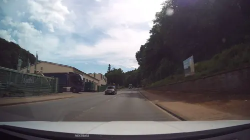
Barres Brauwelt
Restaurant · German, Regional, Local · 1.3 km
121 Berliner Straße, Lübbecke
Tu-Sa 17:00-22:00; Su 10:00-16:00

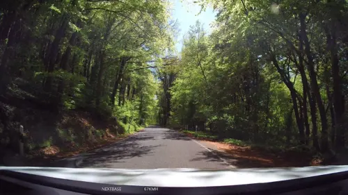
Cafe Waldkristall
Cafe · Cake, Breakfast · 6.8 km
141 Bergstraße, Hüllhorst
We-Fr 09:30-18:00, Sa,Su 10:00-18:00
Café - Konditorei Schöller
Cafe · Coffee Shop, Breakfast, Cake · 5.1 km
14 Hartenkampstraße, Preußisch Oldendorf
Mo,Tu,Th,Fr 07:30-13:00,14:15-18:00; We 07:30-13:00; Sa...
Café Vielfalt
Cafe · Regional · 6.7 km
208 Büttendorfer Straße, Hüllhorst
Sa 09:30-12:30; Su,PH 09:30-12:30,14:30-18:00
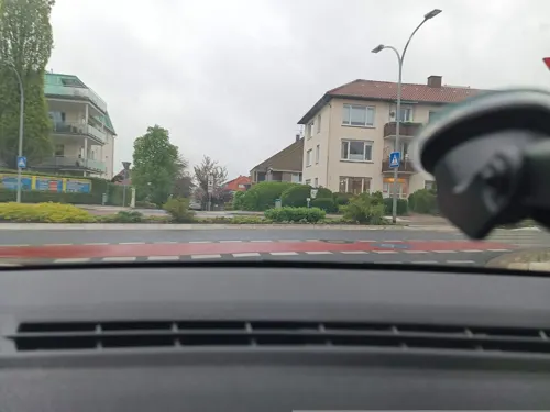
Restaurant Fuchsbau
Restaurant · Greek · 3.0 km
22 Sonnenbrinkstraße, Lübbecke
Tu-Sa 17:00-23:00; Su,PH 12:00-14:00,17:00-23:00
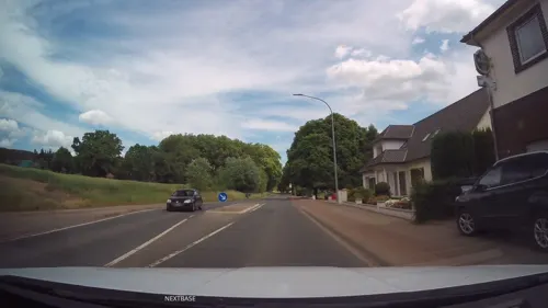


ZEUS
Restaurant · Greek · 3.8 km
17 Ahlsener Straße, Hüllhorst
Tu-Sa 17:30-23:00; Su,PH 12:00-14:30,17:00-23:00
Albersmeyer "Im Loh" Hotel und Restaurant
Restaurant · Regional · 6.5 km
53 Diepenauer Straße, Espelkamp
80 more on the map.
History
The settlement of Lübbecke was first mentioned in 775 as hlidbeki in the Frankish imperial annals as the site of a Saxon attack on a frankish camp. The town is named after the creek today known as "Ronceva" and means little beck in English (Low German: lüt Beek or lüttke Beke, High German: kleiner Bach). Lübbecke was the central site of the Saxon hlidbeki gau. In those days there may already have been a church in hlidbeki that dated back to the Saxon Angrivarii under their duke, Widukind, a tribe who had settled the region during the spread of Christianity under Charlemagne. Lübbecke was the center of an early church parish in the Diocese of Minden, and so the nobility who were native to the area as well as the knightly family in Lübbecke were ministeriales of the bishops of Minden. By 1279 Lübbecke had been given its town charter by the Minden Bishop Volquin of Schwalenberg. The area was also run by the bishops of Minden from the country castle of Reineburg (now Hüllhorst). The lords based there came mainly from the knightly family of Lübbecke. The Burgmann estates in Lübbecke were, in turn, enfeoffed by the castle. In 1806 twelve of these Burgmann estates were recorded in the borough. The Burgmannen also held a majority on the town council, which met in town hall, first mentioned in 1460.
From the History section of Lübbecke on Wikipedia, under CC BY-SA 4.0.
Where to stay6
Churches and places of worship24
Shopping27
Gas and EV charging12
Tankstelle Auto - Service Spitz
Gas station · 6.0 km
64 Gestringer Straße, Espelkamp
Schools, colleges and libraries23
Healthcare9
VIVAS Apotheke im Kaufland
Clinic and pharmacy · 0.9 km
4 Strubbergstraße, Lübbecke
Map of Lübbecke
250 places. The map loads OpenStreetMap tiles when you open it.
Getting there and nearby towns
Flugplatz Bielefeld (BFE) is the nearest airport with scheduled flights listed in OpenStreetMap, 38 km away.
- Preußisch Oldendorf 8 km west, about 8 min by car
- Rödinghausen 11 km southwest, about 11 min by car
- Rahden 14 km north, about 14 min by car
- Minden 21 km east, about 21 min by car
- Spenge 21 km southwest, about 21 min by car
- Porta Westfalica 22 km southeast, about 22 min by car
- Vlotho 23 km southeast, about 23 min by car
- Petershagen 25 km east, about 25 min by car
- Werther 29 km southwest, about 29 min by car
- Bielefeld 31 km south, about 31 min by car
Drive times are estimates from straight-line distance, not routes.
Local news
Headlines from INDB.
Reviews, tips and questions
Loading what members have shared...
Sources and licences
- GeoNames (CC BY 4.0): population, coordinates, regions and time zone
- Mapillary (see each image): photos
- OpenStreetMap contributors (ODbL 1.0): places, airports, map data
- Wikidata (CC0 1.0): elevation, founding date, time zone, website, landmarks and historic places
- Wikimedia Commons (see each image): photos
- Wikipedia (CC BY-SA 4.0): overview and history text
Photo credits
- Falk Oberdorf Lübbecke Markt, Falk Oberdorf, Osterstr. 8, 32312 Lübbecke, CC BY-SA 3.0
- Bierbrunnen Lübbecke, Gerd Fahrenhorst, CC BY 4.0
- Skulptur Niederwall Lübbecke (Volksbank) 2, Gerd Fahrenhorst, CC BY 4.0
- Skulptur Niederwall Lübbecke (Volksbank) 1, Gerd Fahrenhorst, CC BY 4.0
- Volksbank Lübbecker Land, Geschäftsstelle Lübbecke, yg4hawa, CC BY 3.0
- Steinskulptur Lange Straße Lübbecke 2, Gerd Fahrenhorst, CC BY 4.0
- Steinskulptur Lange Straße Lübbecke 3, Gerd Fahrenhorst, CC BY 4.0
- Steinskulptur Lange Straße Lübbecke 1, Gerd Fahrenhorst, CC BY 4.0
- Mahnmal Synagoge Lübbecke 1, Gerd Fahrenhorst, CC BY 4.0
- Mahnmal Synagoge Lübbecke 2, Gerd Fahrenhorst, CC BY 4.0
- Finanzamt Lübbecke, Gerd Fahrenhorst, CC BY 4.0
- Danzelstätte Lübbecke 4, Gerd Fahrenhorst, CC BY 4.0
- Danzelstätte Lübbecke 3, Gerd Fahrenhorst, CC BY 4.0
- Stadtmodell auf dem Marktplatz in Lübbecke 2, Gerd Fahrenhorst, CC BY 4.0
- Stadtmodell auf dem Marktplatz in Lübbecke 1, Gerd Fahrenhorst, CC BY 4.0
- Burgmannshof Lübbecke 2023-11, Gerd Fahrenhorst, CC BY 4.0
- Bahnhofsempfangsgebäude Lübbecke von Südosten, Sonojak, CC BY-SA 4.0
- Danzelstätte Lübbecke 1, Gerd Fahrenhorst, CC BY 4.0
- Amtsgericht Lübbecke, Gerd Fahrenhorst, CC BY 4.0
- Lübbecke geothermische Karte, Hagar66, CC BY-SA 3.0
- Bahnhofsempfangsgebäude Lübbecke von Südwesten, Sonojak, CC BY-SA 4.0
- Höhenmarke Lübbecke, Ulrich Kulle, CC BY-SA 4.0
- Lübbecke St Andreas1, A. Ludorff, Public domain
- Lübbecke St Andreas2, A. Ludorff, Public domain
- Wilhelmsplatz 2, Lübbecke, Gerd Fahrenhorst, CC BY 4.0
- Wartturm Luebbecke 01, Sail over, CC BY-SA 3.0
- Obermehnen, Hopfenpflücker, CC BY-SA 3.0
- Eggetal Falk Oberdorf, FalkOberdorf at German Wikipedia, CC BY-SA 3.0
- Huellhorst1, Ingo2802 09:33, 24. Feb. 2008 (CET), CC BY-SA 3.0
- Burgmannshof-Luebbecke, Andrucha, CC BY-SA 3.0
- Christuskirche Isenstedt Südseite, Sonojak, CC BY-SA 4.0
- Freilichtbühne Nettelstedt, Azepedia, CC BY-SA 3.0
- Ellerburg1, Ingo2802 17:41, 15. Feb. 2008 (CET), CC BY-SA 3.0
- Kircheholzhausen, Varus111, CC BY 3.0
- Alte Klus (Frotheim), Gerhard Terstegge (www.fototaxis.de), CC BY-SA 3.0
- Mehrere blaue Moorfrosch‑Männchen (Rana arvalis) mit einem Weibchen im Amplexus, Tanja Riedel, CC BY 4.0
- Panorama Mascberg, Glösinghauser Berg, Altes Verbrenn, TUBS, CC BY-SA 3.0
- Falk Oberdorf Heidkopf und Reineberg, Falk Oberdorf, Osterstr. 8, 32312 Lübbecke, Public domain
- Obernfelde1, Ingo2802 The original uploader was Ingo2802 at German Wikipedia ., CC BY-SA 3.0
- Gut Renkhausen, Ingo2802 at German Wikipedia, CC BY-SA 3.0
- Benkhausen Luftaufnahme, Claudia Hecke, CC BY-SA 3.0
- Falk Oberdorf Kahle Wart, Falk Oberdorf, Osterstr. 8, 32312 Lübbecke, Public domain
- Panorama Hollwinkel Front, TUBS, Public domain
- Falk Oberdorf Baerlauch1, FalkOberdorf , Osterstr. 8, 32312 Lübbecke, CC BY-SA 3.0
- Deutsches Automatenmuseum Eingang, Sonojak, CC BY-SA 4.0
- Falk Oberdirf Freibad Gehlenbeck Eingang, Falk Obedorf, Osterstr. 8, 32312 Lübbecke, CC BY-SA 3.0 de
- Falk Oberdorf Freibadpark 02, Falk Oberdorf, Osterstr. 8, 32312 Lübbecke, CC BY-SA 4.0
- Falk Oberdorf Teich Finkenburg, Falk Oberdorf, Osterstr. 8, 32312 Lübbecke, CC BY-SA 4.0
- Freimoor bei Espelkamp-Frotheim, Fotoscotty, CC BY-SA 4.0
- Lübbecke - 2019-04-19 - MI-035 Großes Torfmoor (DSC 6025), Tsungam, CC BY-SA 4.0
- Falk Oberdorf Lübbecke Nord1, Falk Oberdorf , Osterstr. 8, 32312 Lübbecke, Public domain
- Falk Oberdorf Ansicht Lubbecke, FalkOberdorf at German Wikipedia, CC BY-SA 3.0
- Falk Oberdorf Breitenbrink Gipfel, Falk Oberdorf, Osterstr. 8. 32312 Lübbecke, CC BY-SA 4.0
- Kirche Alswede, Jan5, Public domain
- Falk Oberdorf Sant Andreas Kirche, Falk Oberdorf, Osterstr. 8, 32312 Lübbecke, Public domain
- Street-level photo, MikePeters, CC BY-SA 4.0
- Street-level photo, Schmarvis, CC BY-SA 4.0
- Street-level photo, MikePeters, CC BY-SA 4.0
- Street-level photo, Schmarvis, CC BY-SA 4.0
- Street-level photo, Schmarvis, CC BY-SA 4.0
- Street-level photo, ImoEx, CC BY-SA 4.0
- Street-level photo, toaskoas, CC BY-SA 4.0
- Street-level photo, Schmarvis, CC BY-SA 4.0
- Street-level photo, thorstenh, CC BY-SA 4.0
- Street-level photo, Schmarvis, CC BY-SA 4.0
- Street-level photo, Schmarvis, CC BY-SA 4.0
- Street-level photo, spindle, CC BY-SA 4.0
- Street-level photo, MikePeters, CC BY-SA 4.0
- Street-level photo, Schmarvis, CC BY-SA 4.0
- Street-level photo, Schmarvis, CC BY-SA 4.0
- Street-level photo, toaskoas, CC BY-SA 4.0
- Street-level photo, Schmarvis, CC BY-SA 4.0
- Street-level photo, Schmarvis, CC BY-SA 4.0
- Street-level photo, spindle, CC BY-SA 4.0


Page built November 8, 2026. Spotted a mistake? Tell us or suggest a place.