


Why visit Vlotho
Townapedia lists 109 museums and landmarks, 46 parks and trails, 179 places to eat, 68 places to stay and 22 attractions in and around town.
Highlights include GOP Bad Oeynhausen, Hofladen Flagmeier, Deutsche Märchen- und Wesersagenmuseum and Historischer Ladekran.
Weather in Vlotho
Forecast from MET Norway (CC BY 4.0). Full forecast
About Vlotho
Vlotho (German pronunciation: [ˈfloːto] ) is a town in the district of Herford, in North Rhine-Westphalia, Germany.
From the Wikipedia article Vlotho (this version), under CC BY-SA 4.0.
Things to do22









10 more on the map.
Museums and landmarks109

Deutsche Märchen- und Wesersagenmuseum
Museum · 6.1 km
Villa
3 Am Kurpark, Bad Oeynhausen
We-Su 10:00-12:00,14:00-17:00; Mo-Tu off
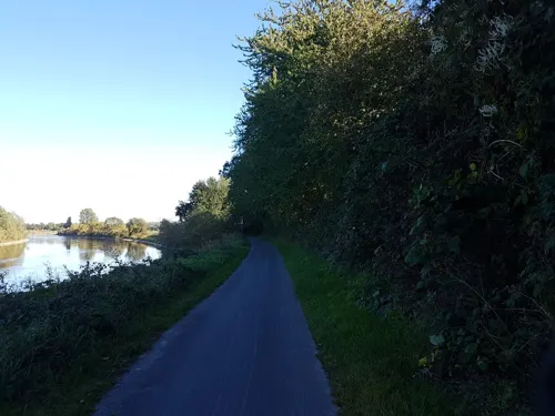
Historischer Ladekran
Monument and historic site · 5.8 km
Technical_monument





97 more on the map.
Parks, trails and playgrounds46





34 more on the map.
Restaurants and cafes179

China Restaurant CAO
Restaurant · Asian · 5.5 km
14 Parkstraße, Bad Oeynhausen
Mo 17:30-24:00; Tu-Su 12:00-15:00,17:30-24:00
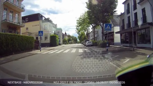
Der Koch
Restaurant · German · 6.3 km
36 Herforder Straße, Bad Oeynhausen
We-Sa 11:00-14:00,17:00+; Su 11:00+
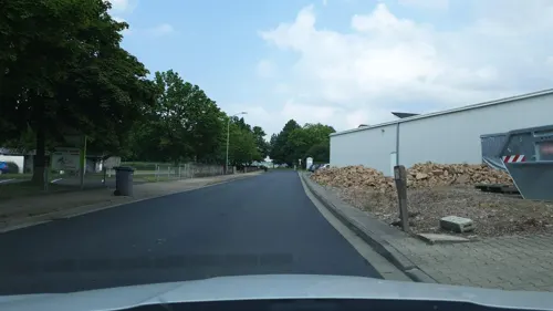
Desiderio
Restaurant · Italian · 6.0 km
4 Industriestraße, Vlotho
Mo off; Tu-Th,Su 17:00-22:00; Fr,Sa 17:00-23:00
Hotel Restaurant WeserSchiffchen
Restaurant · Regional · 4.7 km
62 Unterloh, Porta Westfalica
Tu-Sa 11:30-14:00,17:00-22:00, Su 11:30-22:00
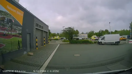
Restaurant Lin
Restaurant · Chinese · 6.2 km
2a Mindener Straße, Bad Oeynhausen
11:30-15:00,17:30-23:00
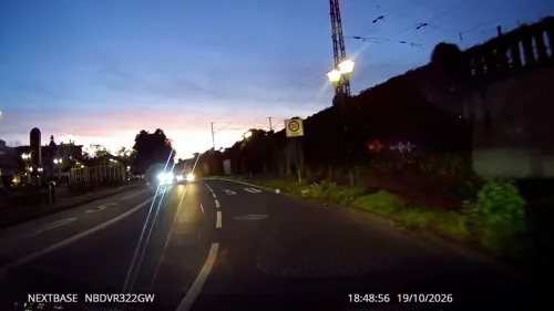
Reyna
Restaurant · Turkish · 6.1 km
59 Herforder Straße, Bad Oeynhausen
Mo-Tu 11:00-23:00; Fr-Sa 11:00-00:00; Su 10:00-23:00
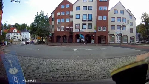
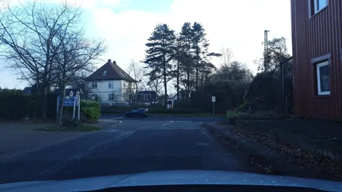
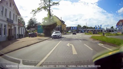


Syrtaki
Restaurant · Greek · 5.9 km
3 Alter Rehmer Weg, Bad Oeynhausen
Tu-Sa 17:30-23:00; Su 11:30-14:30, 17:30-23:00
167 more on the map.
History
The earliest historical records of Vlotho date back to the year 1185. In 1248, Vlotho gained the official status of a city, but this was subsequently lost due to depopulation resulting from pestilence and war. In the 17th century, Vlotho recovered as a location for industry, most notably paper. During the Thirty Years War, on 17 October 1638 Vlotho was the site of a battle, which resulted in a victory for an Imperial army under the command of Field Marshal Melchior, Count of Hatzfeldt over a Palatinate-Swedish army under the command of Charles Louis of Palatine. In 1650, Vlotho regained the right to hold a market, and in 1719, became an independent city. A harbour was built and Vlotho became the location of cigar, machine, and textile industry. In 1875, Vlotho station was constructed, and in 1928, a bridge replaced the ferry across the Weser river. In 1969, the old city of Vlotho was unified with the communities of Exter and Valdorf. In 1973, Uffeln (formerly part of the district of Minden) joined Vlotho.
From the History section of Vlotho on Wikipedia, under CC BY-SA 4.0.
Where to stay68
Churches and places of worship36
Evangelische Kirche Babbenhausen-Oberbecksen
Church · Lutheran · 3.5 km
51 Babbenhausener Straße, Bad Oeynhausen
Shopping41
Gas and EV charging18
Schools, colleges and libraries28
VHS Minden - Bad Oeynhausen Geschäftsstelle Bad Oeynhausen
School · 5.8 km
14 Kaiserstraße, Bad Oeynhausen
Medizinische Bibliothek Herzzentrum Bad Oeynhausen
Library · 5.4 km
11 Georgstraße, Bad Oeynhausen
Healthcare26
Map of Vlotho
250 places. The map loads OpenStreetMap tiles when you open it.
Getting there and nearby towns
Flugplatz Bielefeld (BFE) is the nearest airport with scheduled flights listed in OpenStreetMap, 31 km away.
- Obernkirchen 22 km northeast, about 22 min by car
- Bielefeld 27 km southwest, about 27 min by car
- Aerzen 30 km southeast, about 30 min by car
- Werther 32 km west, about 32 min by car
- Bad Nenndorf 40 km northeast, about 40 min by car
- Rehburg-Loccum 41 km northeast, about 41 min by car
- Wunstorf 49 km northeast, about 49 min by car
- Hilter 49 km west, about 49 min by car
- Paderborn 50 km south, about 50 min by car
- Osnabrück 56 km west, about 56 min by car
Drive times are estimates from straight-line distance, not routes.
Local news
Headlines from INDB.
Reviews, tips and questions
Loading what members have shared...
Sources and licences
- GeoNames (CC BY 4.0): population, coordinates, regions and time zone
- Mapillary (see each image): photos
- OpenStreetMap contributors (ODbL 1.0): places, airports, map data
- Wikidata (CC0 1.0): elevation, founding date, time zone, website, landmarks and historic places
- Wikimedia Commons (see each image): photos
- Wikipedia (CC BY-SA 4.0): overview and history text
Photo credits
- Vlotho, Gerd Kortemeyer aka Korte, CC BY-SA 3.0
- 2010-05-11 Vlotho 270, TUBS, Public domain
- 2010-05-11 Vlotho 269, TUBS, Public domain
- 2010-05-11 Vlotho 273, TUBS, Public domain
- 2010-05-11 Vlotho 271, TUBS, Public domain
- 2010-05-11 Vlotho 272, TUBS, Public domain
- 2010-05-11 Vlotho 226, TUBS, Public domain
- 2010-05-11 Vlotho 233, TUBS, Public domain
- 2010-05-11 Vlotho 234, TUBS, Public domain
- 2010-05-11 Vlotho 231, TUBS, Public domain
- 2010-05-11 Vlotho 237, TUBS, Public domain
- 2010-05-11 Vlotho 232, TUBS, Public domain
- 2010-05-11 Vlotho 238, TUBS, Public domain
- 2010-05-11 Vlotho 236, TUBS, Public domain
- 2010-05-11 Vlotho 229, TUBS, Public domain
- 2010-05-11 Vlotho 230, TUBS, Public domain
- 2010-05-11 Vlotho 239, TUBS, Public domain
- 2010-05-11 Vlotho 235, TUBS, Public domain
- 2010-05-11 Vlotho 240, TUBS, Public domain
- 2010-05-11 Vlotho 241, TUBS, Public domain
- 2010-05-11 Vlotho 242, TUBS, Public domain
- 2010-05-11 Vlotho 243, TUBS, Public domain
- 2010-05-11 Vlotho 244, TUBS, Public domain
- 2010-05-11 Vlotho Panorama Haus Malz, TUBS, Public domain
- Vlotho-Rotes Eingangstor mit Oberlicht, Schrift im Fachwerk, Franzfoto, CC BY-SA 3.0
- 2010-05-11 Vlotho 228, TUBS, Public domain
- 2010-05-11 Vlotho 227, TUBS, Public domain
- 2010-05-11 Vlotho 225, TUBS, Public domain
- Vlotho-Fachwerkhaus, Franzfoto, CC BY-SA 3.0
- 2010-05-11 Vlotho 268, TUBS, Public domain
- 2010-05-11 Vlotho 221, TUBS, Public domain
- 2010-05-11 Vlotho 224, TUBS, Public domain
- 2010-05-11 Vlotho 223, TUBS, Public domain
- 2010-05-11 Vlotho 222, TUBS, Public domain
- 2010-05-11 Vlotho 220, TUBS, Public domain
- 2010-05-11 Vlotho 247, TUBS, Public domain
- 2010-05-11 Vlotho 246, TUBS, Public domain
- 2010-05-11 Vlotho 250, TUBS, Public domain
- 2010-05-11 Vlotho 248, TUBS, Public domain
- 2010-05-11 Vlotho 249, TUBS, Public domain
- Vlotho-Amthausberg-Weser, Jcg2006, Public domain
- Auferstehungskirche Bad Oeynhausen 2021-04-25, Z thomas, CC BY-SA 4.0
- Bonstapel 2009-06-06, Gwexter, Public domain
- BadO-Denkmal-072-2012-06-21-0992, Gwexter, CC BY-SA 3.0
- Laurentiuskirche-Rehme, Grugerio, CC BY-SA 3.0
- Kirche-Holtrup, Grugerio, CC BY-SA 3.0
- Ev.-Kirche-Möllbergen, Grugerio, CC BY-SA 3.0
- Vlotho-Denkmal-102-2013-06-29-0437, Gwexter, CC BY-SA 3.0
- Bad Oeynhausen Werre-Park 2011, Ub12vow, CC BY-SA 3.0
- Kirche-Uffeln-2011-11-12-0022, Gwexter, CC BY-SA 3.0
- Vlotho-StJohannis-Lange-Str-96-67, Grugerio, CC BY-SA 3.0
- Großer-Selberg 01, Grugerio, CC BY-SA 3.0
- GutDeesberg1, Ingo2802, CC BY-SA 3.0
- Haupteingang HDZ NRW, HDZ NRW, CC BY-SA 3.0
- Kirche-Bonneberg-2009-05-16-0457, Gwexter, CC BY-SA 3.0
- Klusberg-2009-08-22-1262, Gwexter, Public domain
- Kirche Lohe 2012-04-19-10091, Gwexter, CC BY-SA 3.0
- Nettelberg - Vlotho 2012-05-16-3848, Gwexter, CC BY-SA 3.0
- Ruschberg-2009-08-07-1135, Gwexter, Public domain
- Saalegge-von-Osten, Grugerio, CC BY-SA 3.0
- Bad Oeynhausen Kurparktheater 2011, Ub12vow, CC BY 3.0
- Bad Oeynhausen, 2009-Nov (44), TUBS, Public domain
- Weser-Gymnasium Vlotho 63, Schwede66, CC BY-SA 4.0
- Exter - NSG Mittelbachtal - 4, Ath, CC0
- Zachäus-Gemeindezentrum-Uffeln-2015-07-24-0636, Gwexter, CC BY-SA 4.0
- Kurpark in Bad Oeynhausen - panoramio, qwesy qwesy, CC BY 3.0
- Stolperstein Adolf Meyer, Uwe Rohwedder, CC BY-SA 4.0
- Stolperstein Adolf Wolf, Uwe Rohwedder, CC BY-SA 4.0
- Stolperstein Benjamin Berlinger, 1, Wiesenstraße 28, Bad Oeynhausen, Landkreis Minden-Lübbecke, GeorgDerReisende, CC BY-SA 4.0
- Stolpersteine Familie Vorreuter, Uwe Rohwedder, CC BY-SA 4.0
- Stolperstein Berta Meyer, Uwe Rohwedder, CC BY-SA 4.0
- Stolperstein Edith Ruth Frank, 1, Herforder Straße 44, Bad Oeynhausen, Landkreis Minden-Lübbecke, GeorgDerReisende, CC BY-SA 4.0
- Eiberg-Steinbruch, Gwexter, Public domain
- NSG-kl-Selberg-2008-08-30, gwexter, Public domain
- NSG-Borstenbachtal-01, Grugerio, CC BY-SA 3.0
- NSG-Heideholz 01, Grugerio, CC0
- Linnenbeeke-Quelle, Grugerio, CC BY-SA 3.0
- Paterberg-Vlotho, Grugerio, CC BY-SA 3.0
- NSG Plögereisiek, Grugerio, CC BY-SA 3.0
- Sandgrube Exter 030, Schwede66, CC BY-SA 4.0
- NSG-Siebenstücken, Grugerio, CC BY-SA 3.0
- Klinik am Korso, Veit Mette, CC BY-SA 3.0
- Street-level photo, Schmarvis, CC BY-SA 4.0
- Street-level photo, derlipper, CC BY-SA 4.0
- Street-level photo, Hightower-, CC BY-SA 4.0
- Street-level photo, Schmarvis, CC BY-SA 4.0
- Street-level photo, derlipper, CC BY-SA 4.0
- Street-level photo, Schmarvis, CC BY-SA 4.0
- Street-level photo, derlipper, CC BY-SA 4.0
- Street-level photo, derlipper, CC BY-SA 4.0
- Street-level photo, derlipper, CC BY-SA 4.0
- Street-level photo, snowdiver, CC BY-SA 4.0
- Street-level photo, toaskoas, CC BY-SA 4.0
- Street-level photo, toaskoas, CC BY-SA 4.0
- Street-level photo, toaskoas, CC BY-SA 4.0
- Street-level photo, Schmarvis, CC BY-SA 4.0
- Street-level photo, Schmarvis, CC BY-SA 4.0
- Street-level photo, Schmarvis, CC BY-SA 4.0
- Street-level photo, derlipper, CC BY-SA 4.0
- Street-level photo, Schmarvis, CC BY-SA 4.0
- Street-level photo, Schmarvis, CC BY-SA 4.0
- Street-level photo, Hightower-, CC BY-SA 4.0
- Street-level photo, Schmarvis, CC BY-SA 4.0
- Street-level photo, Schmarvis, CC BY-SA 4.0
- Street-level photo, derlipper, CC BY-SA 4.0
- Street-level photo, Schmarvis, CC BY-SA 4.0


Page built November 8, 2026. Spotted a mistake? Tell us or suggest a place.