


Why visit Ilvesheim
Townapedia lists 22 museums and landmarks, 15 parks and trails, 68 places to eat, 3 places to stay and 10 attractions in and around town.
Highlights include Fernmeldeturm Mannheim, Hofladen Frey, Automuseum Dr. Carl Benz and Schloss Neckarhausen.
Weather in Ilvesheim
Forecast from MET Norway (CC BY 4.0). Full forecast
About Ilvesheim
Ilvesheim (German pronunciation: [ˈɪlvəsˌhaɪ̯m] ), Palatine German: Ilwese) is a municipality of about 9,300 residents (2022) in the district of Rhein-Neckar in Baden-Württemberg in Germany.
From the Wikipedia article Ilvesheim (this version), under CC BY-SA 4.0.
Things to do10

Fernmeldeturm Mannheim
Monument and historic site · 5.6 km
Building in Mannheim, Electorate of Baden, Germany

Hofladen Frey
Farm and orchard · 1.2 km
57 Zähringer Straße
Mo-Sa 08:30-13:00; Tu,Fr 15:00-18:30



Leibs Hofladen
Farm and orchard · 2.7 km
40 Schlittweg, Mannheim
Puppentheater Kleine Puppenschachtel
Cinema and theater · 0.8 km

Museums and landmarks22


Schloss Neckarhausen
Monument and historic site · 2.8 km
389 Hauptstraße, Edingen-Neckarhausen
Mo-Fr 08:00-12:15; We13:00-15:30; Th 14:00-18:00
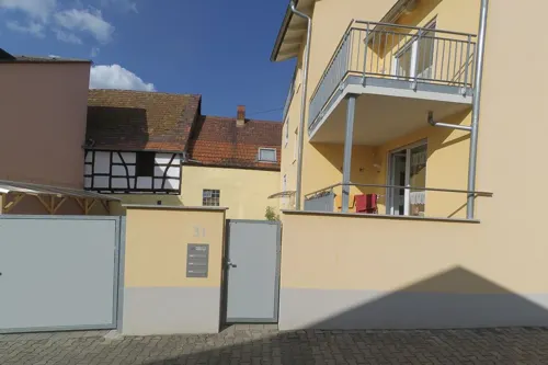


Heimatmuseum Feudenheim
Museum · 2.8 km
Eintrachtstraße
Apr-Oct: Su[2] 14:30-17:30


10 more on the map.
Parks, trails and playgrounds15




3 more on the map.
Restaurants and cafes68
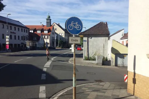

Gaststätte Bulgaria
Restaurant · Bulgarian · 0.6 km
38 Kanzelbachstraße, Ilvesheim
Mo-Th 12:00-24:00; Fr-Sa 12:00-03:00; Su 12:00-24:00
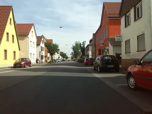
Hotel-Restaurant Neckarperle
Restaurant · Regional, German · 2.5 km
449 Hauptstraße, Edingen-Neckarhausen
Mo-Fr 17:30-23:00; Su 11:00-14:30, 17:30-22:00
Rosemaries
Restaurant · German, Mediterranean · 2.8 km
19 Mosbacher Straße, Mannheim
Mo 16:00-21:00; We 16:00-22:00; Th-Su 12:00-22:00
Bäcker Görtz
Bakery · 2.5 km
67e Wallstadter Straße, Ladenburg
Mo-Fr 05:30-19:00; Sa 06:00-19:00; Su 07:30-18:00

Bäcker Görtz
Bakery · 2.7 km
2 Keltenstraße, Mannheim
Mo-Fr 05:30-18:00; Sa 06:00-17:00; Su,PH 07:30-17:00
Bäckerei Edgar Seitz
Cafe · 1.2 km
30 Rastatter Straße, Mannheim
Mo-Fr 06:00-18:00; Sa 06:00-13:00; Su 08:00-17:00

Bäckerei Riegler
Cafe · 2.7 km
21 Bahnhofstraße, Ladenburg
Mo-Fr 06:00-18:30; Sa 06:00-13:00; Su 08:00-17:00
Fischerhäusel
Restaurant · Greek · 0.6 km
Tu-Fr, Su 11:30-14:30; Tu-Fr, Su 17:30-22:00; Sa 17:30-22:00

Gasthaus Egardia im Vereinshaus
Restaurant · Greek · 1.0 km
Tu-Sa 17:00-24:00;Su 11:30-14:30,17:00-23:00
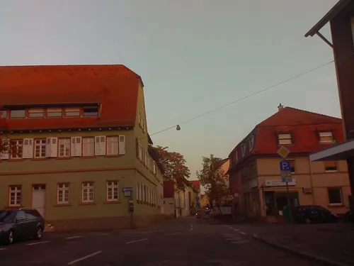


56 more on the map.
History
Ilvesheim was first mentioned in a deed of the Lorsch Abbey from March 14, 766 AD, as a village called "Ulvinisheim". The ending "heim" means it was founded during the Frankish conquests. It is not clear whether the current name is from a then-resident called "Ulvinius" or after a small tributary creek that empties into the Neckar River, called "Ilbe."
Emperor Barbarossa transferred the Lorsch possession to his half brother, the Palatinate Count Conrad in 1155. Since the end of the 13th century, Ilvesheim indisputably belonged to the Kurpfalz and was a part of the Seckenheimer concentrum. The area started as a fiefdom under the Lords of Strahlenberg. In the middle of the 14th century, it fell to the squires from Erligheim; from 1550-1654 the county of Steinach, and then to the barons of Hundheim in 1700.
The town was heavily destroyed during the Nine Years War in 1689. After the breakup of the Palatinate in 1803, Ilvesheim eventually transferred to the Grand Duchy of Baden, and administered by the Office of Ladenburg. In 1863, it fell under the district office of Mannheim, which later became Mannheim County (Landkreis). Today Ilvesheim is its own independent municipality, but part of the Heidelberg licensing district.
From the History section of Ilvesheim on Wikipedia, under CC BY-SA 4.0.
Where to stay3
Churches and places of worship14
Shopping26
Gas and EV charging8
Schools, colleges and libraries11
Healthcare8
Map of Ilvesheim
185 places. The map loads OpenStreetMap tiles when you open it.
Getting there and nearby towns
City-Airport Mannheim (MHG) is the nearest airport with scheduled flights listed in OpenStreetMap, 4 km away.
- Ladenburg 3 km east, about 3 min by car
- Edingen-Neckarhausen 3 km southeast, about 3 min by car
- Heddesheim 4 km northeast, about 4 min by car
- Schriesheim 7 km east, about 7 min by car
- Mannheim 7 km west, about 7 min by car
- Viernheim 7 km north, about 7 min by car
- Ludwigshafen am Rhein 9 km west, about 9 min by car
- Dossenheim 8 km east, about 8 min by car
- Brühl 9 km south, about 9 min by car
- Plankstadt 9 km south, about 9 min by car
Drive times are estimates from straight-line distance, not routes.
Local news
Headlines from INDB.
Reviews, tips and questions
Loading what members have shared...
Sources and licences
- GeoNames (CC BY 4.0): population, coordinates, regions and time zone
- Mapillary (see each image): photos
- OpenStreetMap contributors (ODbL 1.0): places, airports, map data
- Wikidata (CC0 1.0): elevation, founding date, time zone, website, landmarks and historic places
- Wikimedia Commons (see each image): photos
- Wikipedia (CC BY-SA 4.0): overview and history text
Photo credits
- Ilvesheim Schloss 20070324, Rudolf Stricker, Public domain
- Ilvesheim St. Peter Kirche 20100711, Rudolf Stricker, Attribution
- Ilvesheim, Germany - panoramio (1), Immanuel Giel, CC BY 3.0
- Ilvesheim Schloss - panoramio (19), Immanuel Giel, CC BY 3.0
- Blindenschule Ilvesheim 01, Immanuel Giel, Public domain
- Ilvesheim Schloss - panoramio (18), Immanuel Giel, CC BY 3.0
- Das Schloss Ilvesheim wurde bereits 1868 als staatliche Blindenschule genutzt. - panoramio, Immanuel Giel, CC BY 3.0
- Ilvesheim Schloss 20100610, Rudolf Stricker, Attribution
- Ilvesheim Martin Luther Kirche 20070324, Rudolf Stricker, Public domain
- Ilvesheim Martin-Luther-Kirche 20100730, Rudolf Stricker, Attribution
- Kirchen-Bibliothek (Ilvesheim, Miltonc08, CC BY-SA 4.0
- Ilvesheim Rathaus 20100712, Rudolf Stricker, Attribution
- Ilvesheim Rathaus 20070324, Rudolf Stricker, Public domain
- Ilvesheim Rathaus 20100529, Rudolf Stricker, Attribution
- Die barocke St.-Peter-Kirche steht auf der höchsten Stelle Ilvesheims. Der Turm ist 49 Meter hoch. - panoramio, Immanuel Giel, CC BY 3.0
- Ilvesheim, Germany - panoramio (2), Immanuel Giel, CC BY 3.0
- Ilvesheim Kriegerdenkmal, Wegavision, CC0
- 2026-06-06 D500-97565M Achim-Lammerts Mannheim-Neckarufer-Fernmeldeturm, Achim Lammerts (Syntaxys), CC BY-SA 4.0
- Technoseum Mannheim Eingangsseite 2026-05-18, Hubert Berberich ( HubiB ), CC BY 4.0
- Luisenpark Mannheim Gondolettas, Andromeda Altair, Public domain
- Automuseum Dr Carl Benz, User:Enslin, CC BY 3.0
- Neckarhausen schloss frontansicht, 2micha, CC BY-SA 3.0
- Ladenburg - Neckarbrücke 2016-05-08 18-56-46, Photographs by Radosław Drożdżewski (User:Zwiadowca21), CC BY-SA 4.0
- MannheimNaturschutzgebietUntererNeckarWoerthelBruecke, 1w6+1, CC BY-SA 3.0
- Seckenheim-2005, de:Benutzer:MSeses, CC BY-SA 3.0
- Mannheim Seckenheim Wasserturm 20100803, Rudolf Stricker, Attribution
- Hallenbad Ilvesheim, Wegavision, CC0
- Gasthaus Egardia im Vereinshaus Mannheim-Seckenheim, Wegavision, CC BY-SA 4.0
- Mannheim-Seckenheim-Erloeserkirche, Immanuel Giel, Public domain
- Mannheim Feudenheim Johanneskirche 20100728, Rudolf Stricker, Attribution
- Mannheim-Seckenheim-St-Aegidius-Kirche, Immanuel Giel, Public domain
- City Markt Bruhn & Wahlbrink Mannheim-Feudenheim, Wegavision, CC0
- Total Mannheim-Seckenheim, Wegavision, CC BY-SA 4.0
- Shell Mannheim-Feudenheim, Wegavision, CC0
- ZähringerApotheke Mannheim-Seckenheim, Wegavision, CC BY-SA 4.0
- Ladenburg Automuseum Carl Benz 20100921, Rudolf Stricker, Attribution
- Die evangelische St. Luther-Kirche wurde 1964 von Helmut Striffler errichtet. - panoramio, Immanuel Giel, CC BY 3.0
- Haus am Brunnenweg - panoramio (1), Immanuel Giel, CC BY 3.0
- St. Luther - panoramio, Immanuel Giel, CC BY 3.0
- Haus am Brunnenweg - panoramio, Immanuel Giel, CC BY 3.0
- Hofladen Frey Mannheim-Seckenheim, Wegavision, CC0
- Street-level photo, wegavision, CC BY-SA 4.0
- Street-level photo, wegavision, CC BY-SA 4.0
- Street-level photo, wegavision, CC BY-SA 4.0
- Street-level photo, marczoutendijk, CC BY-SA 4.0
- Street-level photo, wegavision, CC BY-SA 4.0
- Street-level photo, wegavision, CC BY-SA 4.0
- Street-level photo, wegavision, CC BY-SA 4.0
- Street-level photo, wegavision, CC BY-SA 4.0
- Street-level photo, wegavision, CC BY-SA 4.0
- Street-level photo, wegavision, CC BY-SA 4.0
- Street-level photo, ramap, CC BY-SA 4.0
- Street-level photo, wegavision, CC BY-SA 4.0
- Street-level photo, wegavision, CC BY-SA 4.0
- Street-level photo, ramap, CC BY-SA 4.0
- Street-level photo, wegavision, CC BY-SA 4.0
- Street-level photo, wegavision, CC BY-SA 4.0
- Street-level photo, knistertoni, CC BY-SA 4.0
- Street-level photo, wegavision, CC BY-SA 4.0
- Street-level photo, wegavision, CC BY-SA 4.0
- Street-level photo, wegavision, CC BY-SA 4.0
- Street-level photo, wegavision, CC BY-SA 4.0
- Street-level photo, wegavision, CC BY-SA 4.0
- Street-level photo, wegavision, CC BY-SA 4.0


Page built November 9, 2026. Spotted a mistake? Tell us or suggest a place.