


Why visit Kamenz
Townapedia lists 58 museums and landmarks, 16 parks and trails, 59 places to eat, 12 places to stay and 61 attractions in and around town.
Highlights include Stadttheater, Hofladen, Elementarium and Lessing-Museum.
Weather in Kamenz
Forecast from MET Norway (CC BY 4.0). Full forecast
About Kamenz
Kamenz (German, pronounced [ˈkaːmɛnts] ) or Kamjenc (Upper Sorbian, pronounced [ˈkamʲɛnts] ) is a town (Große Kreisstadt) in the district of Bautzen in Saxony, Germany. Until 2008 it was the administrative seat of Kamenz District. The town is known as the birthplace of the philosopher and poet Gotthold Ephraim Lessing. It lies north-east of the major city of Dresden.
From the Wikipedia article Kamenz (this version), under CC BY-SA 4.0.
Things to do61

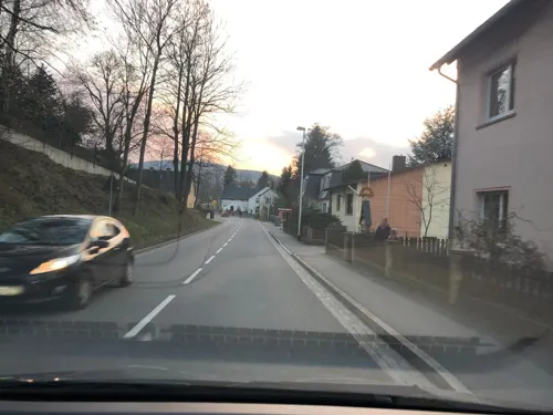



49 more on the map.
Museums and landmarks58


Schauanlage und Museum der Granitindustrie e.V.
Museum · 6.0 km
18 Dorfstraße
Fr 16:00-18:00; Sa,Su 13:00-17:00 open "nach Vereinbarung"

Kursächsische Postmeilensäule
Monument and historic site · 5.6 km
Reste einer Kursächsische Postmeilensäule in Elstra am Hainmühlenweg, es ist die Erste, ebenfalls fehlerhafte Kopie des Schriftblockes....

Forstfestplatz
Monument and historic site · 1.8 km
Festgelände für das jeden August stattfindende Kamenzer Forstfest

Kursächsische Postmeilensäule
Monument and historic site
Kursächsische Postmeilensäule-Distanzsäule


Klosterkirche und Sakralmuseum St. Annen
Museum
Mo-Fr 10:00-18:00; Sa,Su,PH 11:00-16:00; Dec 24-Jan 01 off


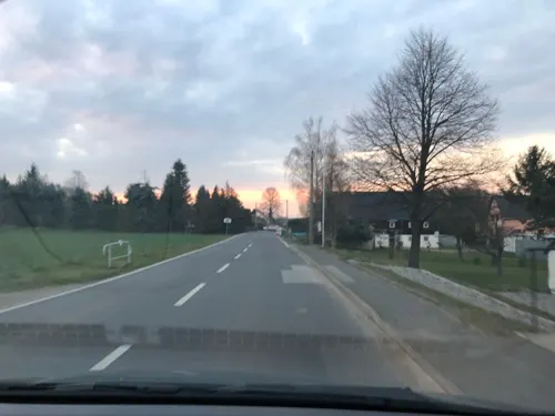
Vierseithof Heimatverein Haselbachtal
Museum · 5.8 km
2 Reichenbacher Straße, Haselbachtal
"nach Vereinbarung"
46 more on the map.
Parks, trails and playgrounds16


Volkspark
Park
Mar Su[-1]-Oct Su[-1] 08:00-22:00; Oct Su[-1]-Mar Su[-1] 08:00-18:00


4 more on the map.
Restaurants and cafes59

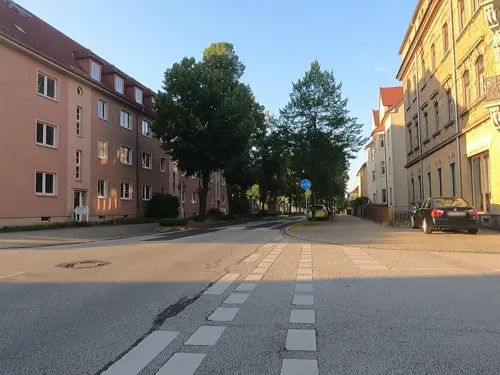
Der Grieche
Restaurant · Greek · 1.5 km
2 Heinrich-Heine-Straße, Kamenz
Mo-Fr 11:00-14:30,17:00-23:00; Sa-Su 11:00-14:30,17:00-24:00
Altertumsschänke
Restaurant
74 Pulsnitzer Straße, Kamenz
Mo-Sa 11:00-14:00,17:30-22:00; Su 11:00-14:00

Bäckerei Selnack
Bakery · 1.2 km
40 Goethestraße, Kamenz
Mo-Fr 06:00-17:30; Sa 06:00-11:00; Su 06:00-10:00,14:00-17:00
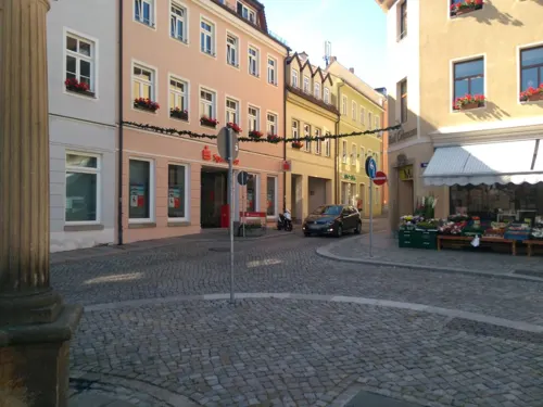
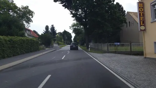
Gasthof Thonberg
Restaurant · 3.8 km
288 Bautzner Straße, Kamenz
Tu-Sa 11:00-14:00,17:00-21:00 "Restaurant"; Su 11:00-14:00 "Restaurant"
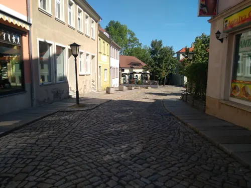
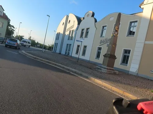
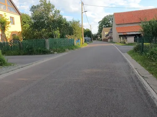
Bauernstübchen
Restaurant · 4.1 km
Gaststättenbetrieb und Partyservice
13 Alte Liebenauer Straße, Kamenz
Tu-Su,PH 11:00+; Mo off

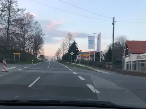


Lindenhof Prietitz
Restaurant · 4.5 km
Th, Fr 11:00-14:00, 17:30-20:00; Sa 11:00-14:00, 17:00+; Su 11:00-14:00
47 more on the map.
History
The settlement arose in the late 12th century, when a fortress was erected at the location of today's old town, in order to secure the junction of the medieval Via Regia trade route with the Black Elster river. From here, the Via Regia offered important transport links from the Low Countries up to Silesia.
In 1225, written records first mentioned the town; Kamenz became an independent city in 1319, when Holy Roman Emperor Louis IV enfeoffed the West Lusatian lands to the Luxembourg king John of Bohemia. In 1346, the citizens joined the Lusatian League for protection against robber barons and to maintain public peace (Landfrieden). The town was nevertheless besieged and finally occupied by Hussite forces in 1429, who also devastated the nearby town of Wittichenau before they marched against Bautzen. In 1469, along with the Lusatian League, the town recognized the rule of King Matthias Corvinus and passed to Hungary, and in 1490 it returned to the Czech Crown, then under the rule of Polish Prince Vladislaus II. In 1493, King Vladislaus II of Bohemia had a Franciscan monastery established north of the Kamenz town walls, dedicated to Saint Anne in 1512.
From the History section of Kamenz on Wikipedia, under CC BY-SA 4.0.
Where to stay12
Churches and places of worship13
Sankt Martin
Church · Roman Catholic · 4.7 km
29 Hauptstraße, Nebelschütz
Shopping19
Gas and EV charging8
Schools, colleges and libraries17
Healthcare7
Kinder- und jugendpsychiatrische Institutsambulanz
Clinic and pharmacy · 1.9 km
7 Garnisonsplatz, Kamenz
Map of Kamenz
250 places. The map loads OpenStreetMap tiles when you open it.
Getting there and nearby towns
Dresden Airport (DRS) is the nearest airport with scheduled flights listed in OpenStreetMap, 27 km away.
- Bischofswerda 17 km south, about 17 min by car
- Ottendorf-Okrilla 20 km southwest, about 20 min by car
- Radeberg 22 km southwest, about 22 min by car
- Neustadt in Sachsen 28 km south, about 28 min by car
- Klotzsche 29 km southwest, about 29 min by car
- Senftenberg 29 km north, about 29 min by car
- Dresden 35 km southwest, about 35 min by car
- Lauchhammer 33 km northwest, about 33 min by car
- Mickten 34 km southwest, about 34 min by car
- Radebeul 35 km southwest, about 35 min by car
Drive times are estimates from straight-line distance, not routes.
Local news
Headlines from INDB.
Reviews, tips and questions
Loading what members have shared...
Sources and licences
- GeoNames (CC BY 4.0): population, coordinates, regions and time zone
- Mapillary (see each image): photos
- OpenStreetMap contributors (ODbL 1.0): places, airports, map data
- Wikidata (CC0 1.0): elevation, founding date, time zone, website
- Wikimedia Commons (see each image): photos
- Wikipedia (CC BY-SA 4.0): overview and history text
Photo credits
- Kamenz city centre aerial view north, Dabbelju, CC BY-SA 3.0
- Kamenzer St.-Marien-Kirche (0), Conny, CC BY-SA 3.0
- Rathaus Kamenz vom Roten Turm 2010, TMg, CC BY-SA 3.0 de
- Kamenzer St.-Marien-Kirche (7), WikiAnika, CC BY 3.0
- Kamenzer St.-Marien-Kirche (8), WikiAnika, CC BY 3.0
- Kamenzer St.-Marien-Kirche (18), WikiAnika, CC BY 3.0
- Kamenzer Herrental, WikiAnika, CC BY 3.0
- Kamenzer St.-Marien-Kirche (1), WikiAnika, CC BY 3.0
- Stadtschreiberbastei Kamenz Südseite 2010, TMg, CC BY-SA 3.0 de
- Kamenzer St.-Marien-Kirche (11), WikiAnika, CC BY 3.0
- Kamenzer St.-Marien-Kirche (9), WikiAnika, CC BY 3.0
- 100903 Kamenz (13), WikiAnika, CC BY 3.0
- Kamenzer St.-Marien-Kirche (17), WikiAnika, CC BY 3.0
- Altstadt Kamenz vom Roten Turm 2010, TMg, CC BY-SA 3.0 de
- Kamenzer Krabat-Spielplatz, WikiAnika, CC BY 3.0
- Blick über die Stadt Kamenz vom roten Turm, Conny, CC BY-SA 3.0
- Kamenzer St.-Marien-Kirche (10), WikiAnika, CC BY 3.0
- Kamenzer St.-Marien-Kirche (16), WikiAnika, CC BY 3.0
- Kamenzer St.-Marien-Kirche (12), WikiAnika, CC BY 3.0
- Kamenzer Basteiturm, WikiAnika, CC BY 3.0
- 100903 Kamenz (19), WikiAnika, CC BY 3.0
- Kamenz Roter Turm AB2013 02, Paulis, CC BY-SA 3.0
- Kamenz Roter Turm AB2013 04, Paulis, CC BY-SA 3.0
- Kamenz Roter Turm AB2013 01, Paulis, CC BY-SA 3.0
- Kamenz Roter Turm AB2013 05, Paulis, CC BY-SA 3.0
- Kamenz Roter Turm AB2013 03, Paulis, CC BY-SA 3.0
- 08961-Kamenz-1907-Schillerpromenade-Brück & Sohn Kunstverlag, Brück & Sohn Kunstverlag Meißen, CC0
- 12641-Kamenz-1911-Anlage an der Schillerpromenade-Brück & Sohn Kunstverlag, Brück & Sohn Kunstverlag Meißen, CC0
- Hauptkirche Kamenz, PaulT (Gunther Tschuch), CC BY-SA 3.0
- 09823-Kamenz-1908-Barmherzigkeitsstift-Brück & Sohn Kunstverlag, Brück & Sohn Kunstverlag Meißen, CC0
- 13192-Kamenz-1911-Barmherzigkeitsstift mit Anlagen-Brück & Sohn Kunstverlag, Brück & Sohn Kunstverlag Meißen, CC0
- 10892-Kamenz-1909-Barmherzigkeitsstift-Brück & Sohn Kunstverlag, Brück & Sohn Kunstverlag Meißen, CC0
- Kamenz, Friedhof St. Marien, Grabstein-07, Dguendel, CC BY 3.0
- Kamenz, Friedhof St. Marien, Grabstein-08, Dguendel, CC BY 3.0
- Kamenz St Marien 01 Epitaph Zezschwitz, Gunther Tschuch, CC BY-SA 4.0
- Kamenz St Marien 06 Totenschild Kahlen, Gunther Tschuch, CC BY-SA 4.0
- 02175-Kamenz-1901-Barmherzigkeitsstift-Brück & Sohn Kunstverlag, Brück & Sohn Kunstverlag Meißen, CC0
- Kamenz, der Rote Turm, Dguendel, CC BY 3.0
- KM StJust2, PaulT (Gunther Tschuch), CC BY-SA 3.0
- Gotthold-Ephraim-Lessing Gymnasium Kamenz Hofansicht, Dmncwndrlch, CC BY-SA 4.0
- Kamenz Hutberg, PaulT Gunther Tschuch, CC BY-SA 3.0
- 04585-Kamenz-1903-Forstfestzug auf dem Markt-Brück & Sohn Kunstverlag, Brück & Sohn Kunstverlag Meißen, CC0
- Kirche Elstra Mai 2017 (3), Frank Lehmann, CC BY-SA 4.0
- KM Koenigsbruecker Str 2, Gunther Tschuch, CC BY-SA 4.0
- Wilhelm Weisse Villa, Christine Tschuch, CC BY-SA 3.0
- KM-PulsnitzerStr16, SchiDD, CC BY 3.0
- KM-Theater, SchiDD, CC BY 3.0
- Bischheim Kirche 2, X-Weinzar, CC BY-SA 3.0
- Kirche cunnersdorf schönteichen, Z thomas, CC BY-SA 4.0
- 2018043005 W Haselbachtal Häslich, Joachim Lutz, CC BY-SA 4.0
- Protecy Ewangelska cyrkej 2, Julian Nyča, CC BY-SA 3.0
- KM-Annenkirche2, SchiDD, CC BY 3.0
- Weststraße 10 Kamenz 1, Brücke-Osteuropa, CC0
- Lessing-Museum Kamenz, Juli 2023, Haens94, CC BY-SA 4.0
- Elstra Postmeilensäule Alt, Radler59, CC BY-SA 3.0
- Kamenz Postmeilensäule, Radler59, CC BY-SA 3.0
- Kamenzer Andreasbrunnen, WikiAnika, CC BY 3.0
- Station 66 Lessingthurm, Radler59, CC BY-SA 3.0
- Haselbachtal Bischheim Windmuehle 2, Oberlausitzerin64, CC BY-SA 4.0
- Katechismuskirche-Kamenz, Frank Weiner: Knarf-bz, CC BY-SA 3.0
- Kamenz St Marien AB2013 01, Paulis, CC BY-SA 3.0
- Klosterkirche Sankt Annen Kamenz 2012-01-06, Schelm, CC BY-SA 3.0
- Nebelschütz 002, Pfarrkirche St. Martin, Wolkenkratzer, CC BY-SA 4.0
- KM Talstr St Maria, Gunther Tschuch, CC BY-SA 4.0
- KM Gickelsberg summit, PaulT (Gunther Tschuch), CC BY-SA 4.0
- Street-level photo, rausk, CC BY-SA 4.0
- Street-level photo, sp8962de, CC BY-SA 4.0
- Street-level photo, Reini2407, CC BY-SA 4.0
- Street-level photo, rausk, CC BY-SA 4.0
- Street-level photo, rausk, CC BY-SA 4.0
- Street-level photo, Reini2407, CC BY-SA 4.0
- Street-level photo, sp8962de, CC BY-SA 4.0
- Street-level photo, sp8962de, CC BY-SA 4.0
- Street-level photo, rausk, CC BY-SA 4.0
- Street-level photo, sp8962de, CC BY-SA 4.0
- Street-level photo, Reini2407, CC BY-SA 4.0
- Street-level photo, sp8962de, CC BY-SA 4.0
- Street-level photo, Reini2407, CC BY-SA 4.0
- Street-level photo, bejotel, CC BY-SA 4.0
- Street-level photo, ubahnverleih, CC BY-SA 4.0
- Street-level photo, bejotel, CC BY-SA 4.0
- Street-level photo, bejotel, CC BY-SA 4.0
- Street-level photo, Reini2407, CC BY-SA 4.0
- Street-level photo, rausk, CC BY-SA 4.0
- Street-level photo, Reini2407, CC BY-SA 4.0
- Street-level photo, Reini2407, CC BY-SA 4.0
- Street-level photo, sp8962de, CC BY-SA 4.0
- Street-level photo, moenk, CC BY-SA 4.0
- Street-level photo, yiro, CC BY-SA 4.0


Page built November 8, 2026. Spotted a mistake? Tell us or suggest a place.