


Why visit Kirchlinteln
Townapedia lists 76 museums and landmarks, 43 parks and trails, 120 places to eat, 19 places to stay and 23 attractions in and around town.
Highlights include Bullerbeeks Hoff, Ramakers Lütje Hoffladen, Deutsches Pferdemuseum and Ackerbürgerhaus.
Weather in Kirchlinteln
Forecast from MET Norway (CC BY 4.0). Full forecast
About Kirchlinteln
Kirchlinteln (German pronunciation: [ˈkɪʁçlɪntln̩]) is a municipality in the district of Verden, in Lower Saxony, Germany. Its central village is situated approximately 6 km east of Verden, and 40 km southeast of Bremen. It is surrounded by the Linteln Geest (also called the Verden Heath) which is dominated by woods, hills, heath and small villages. Over the last few decades many people have decided to build their homes in Kirchlinteln or to buy old cottages in this region because of its picturesque landscape and location close to the cities of Bremen and Hanover.
From the Wikipedia article Kirchlinteln (this version), under CC BY-SA 4.0.
Things to do23

Bullerbeeks Hoff
Farm and orchard · 6.4 km
38 Achimer Straße, Verden
Mo-Fr 09:00-17:00; Sa 09:00-13:00; Su off


Hofladen Früchtenicht
Farm and orchard · 9.0 km
45 Völkerser Landstraße, Langwedel
11 more on the map.
Museums and landmarks76


Ackerbürgerhaus
Monument and historic site · 6.8 km
1577 unter dem Einfluss der Weserrenaissance errichtetes Ziegelfachwerkhaus. Eines der ältesten Häuser in Verden. Bauherr war Henricus...
7 Strukturstraße, Verden (Aller)
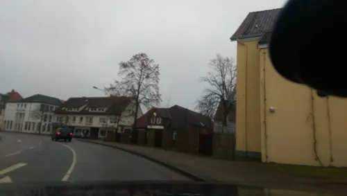
Jugendzentrum
Museum · 5.8 km
Das Jugendzentrum Verden blickt in zweierlei Hinsicht auf eine bewegte Geschichte zurück: zum einen als Gebäude, zum anderen als...
7 Lindhooper Straße, Verden (Aller)
Mo[3] 15:00-20:00; Tu 15:00-20:00, 16:00-18:00 "offenes...




64 more on the map.
Parks, trails and playgrounds43

Magic Park Verden
Sports field and stadium · 3.3 km
Amusement park in Verden, Germany
3-7 Heideweg, Verden


Burgbad Langwedel
Sports field and stadium · 8.6 km
4 Burgweg, Langwedel
May-Aug: Mo-Fr 14:00-21:00, Sa-Su,SH 10:00-21:00



Untere Allerniederung im Landkreis Verden
Hiking and trails · 8.0 km


31 more on the map.
Restaurants and cafes120
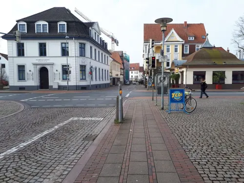
Bodega Verden
Restaurant · Mexican, Pizza, Burger, Beer · 6.2 km
7a Ostertorstraße, Verden (Aller)
Mo-Th 12:00-24:00, Fr,Sa 12:00-24:00+, Su 10:00-23:00
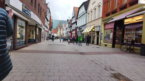
Daccapo Verden
Restaurant · Italian · 6.5 km
102 Große Straße, Verden (Aller)
We-Mo 11:00-15:00 17:00-22:00
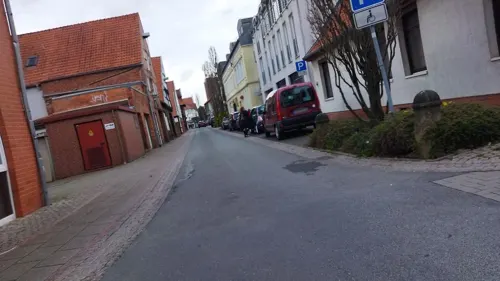
Diers
Cafe · Breakfast, Cake, Coffee Shop, Tea · 6.4 km
1 Nagelschmiedestraße, Verden (Aller)
Th-Sa 09:00-17:00

Hotel-Gasthaus "Zur Linde"
Restaurant · 6.9 km
33 Neddener Dorfstraße, Kirchlinteln
Mo-Fr 17:00-23:00; We off; Sa 10:00-23:00; Su 10:00-21:00
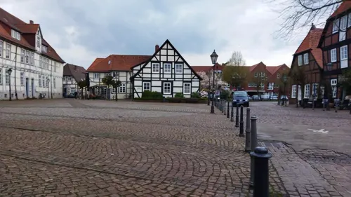
Lugenstein
Cafe · 6.6 km
2 Lugenstein, Verden (Aller)
Tu 09:00-12:00,18:00-21:00; We-Sa 09:00-14:00,18:00-21:00; Su,Mo off
Monte Carlo Verden
Restaurant · Italian · 6.4 km
1-3 Schleppenföhrerstraße, Verden (Aller)
Th-Fr 12:00-15:00, 18:00-23:00; Sa 18:00-23:00; Su 12:00-15:00,...
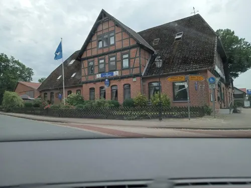
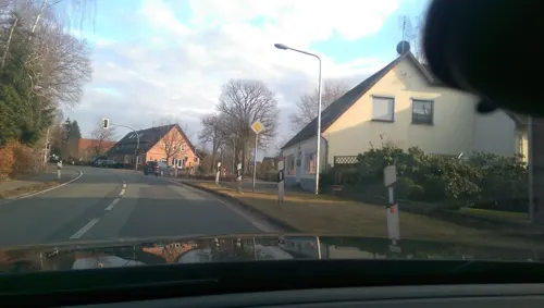
Piccolo Amore
Restaurant · Italian · 6.1 km
1 Verdener Straße, Kirchlinteln
Mo,We-Sa 17:30-22:00; Su 12:00-14:00,17:30-22:00
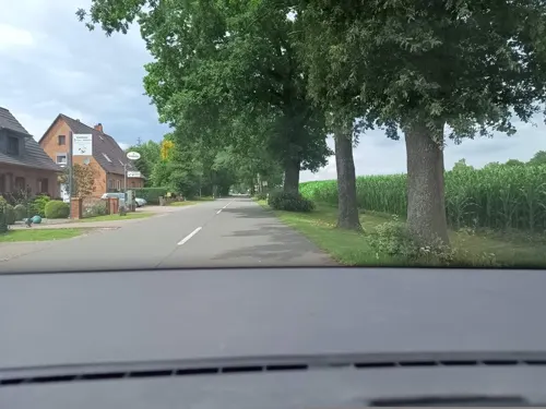
da Enza e Nico
Restaurant · Pizza, Italian · 5.5 km
8 Bettenbruch, Verden
Mo 17:30-23:30; Tu off; We-Fr 17:30-23:30; Sa...


Bon A Petit
Cafe · 4.4 km
4 Carl-Hesse-Straße, Verden
Mo-Fr 11:00-14:30,17:00-21:00; Sa,Su 12:00-14:30,17:00-21:00
108 more on the map.
Where to stay19
Churches and places of worship20
St. Bartholomäus-Kirche
Church · Lutheran · 10.1 km
2 Westerwalseder Straße, Kirchwalsede
Neuapostolische Kirche Verden-Aller
Church · New Apostolic · 5.8 km
13 Heinrichstraße, Verden (Aller)
Shopping40
Gas and EV charging19
Hoyer Automatenstation
Gas station · 3.1 km
2 Agnes-Pockels-Straße, Verden (Aller)
Schools, colleges and libraries23
Healthcare10
Löns Apotheke im Facharztzentrum Verden
Clinic and pharmacy · 6.5 km
18 Eitzer Straße, Verden (Aller)
Map of Kirchlinteln
250 places. The map loads OpenStreetMap tiles when you open it.
Getting there and nearby towns
Bremen Airport (BRE) is the nearest airport with scheduled flights listed in OpenStreetMap, 37 km away.
- Scharnhorst 3 km west, about 3 min by car
- Visselhövede 18 km east, about 18 min by car
- Bremen 37 km northwest, about 37 min by car
- Rehburg-Loccum 53 km south, about 53 min by car
- Hannover 69 km southeast, about 1 h 15 min by car
- Stelle 72 km northeast, about 1 h 15 min by car
- Obernkirchen 76 km south, about 1 h 15 min by car
- Oldenburg 77 km west, about 1 h 15 min by car
- Hamburg 81 km northeast, about 1 h 15 min by car
- Bremerhaven 84 km northwest, about 1 h 30 min by car
Drive times are estimates from straight-line distance, not routes.
Local news
Headlines from INDB.
Reviews, tips and questions
Loading what members have shared...
Sources and licences
- GeoNames (CC BY 4.0): population, coordinates, regions and time zone
- Mapillary (see each image): photos
- OpenStreetMap contributors (ODbL 1.0): places, airports, map data
- Wikidata (CC0 1.0): elevation, founding date, time zone, website
- Wikimedia Commons (see each image): photos
- Wikipedia (CC BY-SA 4.0): overview and history text
Photo credits
- St.-Jakobii-Kirche n Wittlohe (Kirchlinteln) IMG 1494, Losch, CC BY-SA 4.0
- St.-Petri-Kirche Kirchlinteln, Redeemer, CC BY 4.0
- Kirchlinteln, St.-Petri-Kirche, Orgel (3), Subbass1, CC BY-SA 4.0
- Kirchlinteln, St.-Petri-Kirche, Orgel (2), Subbass1, CC BY-SA 4.0
- Kirchlinteln, St.-Petri-Kirche, Orgel (1), Subbass1, CC BY-SA 4.0
- Kirchlinteln, St.-Petri-Kirche, Orgel (10), Subbass1, CC BY-SA 4.0
- Kirchlinteln, St.-Petri-Kirche, Orgel (13), Subbass1, CC BY-SA 4.0
- Kirchlinteln, St.-Petri-Kirche, Orgel (14), Subbass1, CC BY-SA 4.0
- Kirchlinteln, St.-Petri-Kirche, Orgel (4), Subbass1, CC BY-SA 4.0
- Kirchlinteln, St.-Petri-Kirche, Orgel (6), Subbass1, CC BY-SA 4.0
- Kirchlinteln, St.-Petri-Kirche, Orgel (12), Subbass1, CC BY-SA 4.0
- Kirchlinteln, St.-Petri-Kirche, Orgel (11), Subbass1, CC BY-SA 4.0
- Kirchlinteln, St.-Petri-Kirche, Orgel (5), Subbass1, CC BY-SA 4.0
- Kirchlinteln, St.-Petri-Kirche, Orgel (7), Subbass1, CC BY-SA 4.0
- Kirchlinteln, St.-Petri-Kirche, Orgel (9), Subbass1, CC BY-SA 4.0
- Kirchlinteln, St.-Petri-Kirche, Orgel (8), Subbass1, CC BY-SA 4.0
- Unterführung Deelsener Straße Kirchlinteln, AHK, CC0
- Kirchlinteln- Teiche - geo.hlipp.de - 9087, Peter von Rueden on geo.hlipp.de, CC BY-SA 2.0
- Kirchlinteln- L171 - geo.hlipp.de - 9092, Peter von Rueden on geo.hlipp.de, CC BY-SA 2.0
- Kirchlinteln- Ponyweide - geo.hlipp.de - 9086, Peter von Rueden on geo.hlipp.de, CC BY-SA 2.0
- Kirchlinteln- Lindhoop - geo.hlipp.de - 9093, Peter von Rueden on geo.hlipp.de, CC BY-SA 2.0
- 5628913914747652846 IMG 4172, Brickfinder, CC BY-SA 4.0
- Auequelle 001, Smarties, CC BY-SA 4.0
- PferdemuseumVerden, Jürgen Howaldt, CC BY-SA 3.0 de
- Fachwerkhaus Strukturstrasse 7 in Verden (Aller), JoachimKohler-HB, CC BY-SA 4.0
- 9359 Gymnasium am Wall, Gerd Fahrenhorst, CC BY-SA 4.0
- Hügelgräber-Heide, Redeemer, CC BY 4.0
- Hühnermoor, Redeemer, CC BY 4.0
- Verdener Moor, Redeemer, CC BY 4.0
- Waller Moor 001, Smarties, CC BY-SA 4.0
- Aller-Weser-Klinik, Haupteingang, Gerd Fahrenhorst, CC BY-SA 4.0
- St. Sigismund-Kirche Daverden (Gem. Langwedel), JoachimKohler-HB, CC BY-SA 4.0
- Untere Allerniederung im Landkreis Verden, Kiwi05, CC BY-SA 4.0
- Verden50938 Johanniskirche v SO, Ulamm ( talk ), CC BY-SA 4.0
- Verden50961 St. Andreas v SO, Ulamm ( talk ), CC BY-SA 4.0
- Stadtbibliothek am Holzmarkt, Holger Bleckwehl, CC BY-SA 3.0
- Waller Flachteiche 001, Smarties, CC BY-SA 4.0
- St. Bartholomäus-Kirche von 1180 in Kirchwalsede (Rotenburg (Wümme)) IMG 3928, Losch, CC BY-SA 3.0 de
- St. Jakobikirche in Wittlohe (Kirchlinteln) IMG 9057, Losch, CC BY-SA 3.0
- Ulanen-Denkmal in Verden (Aller) angle, Minderbinder, CC BY-SA 4.0
- Adolf Wittig Stolperstein Verden, Clemensfranz, CC BY-SA 3.0
- Stolperstein Kirchlinteln - Hinrich Heitmann (1898), Werner Schröter, CC BY-SA 3.0 de
- Ulanen-Denkmal in Verden (Aller) frontal, Minderbinder, CC BY-SA 4.0
- Allerschleife zwischen Wohlendorf und Hülsen, Kiwi05, CC BY-SA 4.0
- Propsteikirche Sankt Josef in Verden (Aller) IMG 0499, Losch, CC BY-SA 3.0
- Lanze von Lehringen, Nifoto, CC BY-SA 3.0
- Wedeholz 003, Smarties, CC BY-SA 4.0
- Street-level photo, changchun1, CC BY-SA 4.0
- Street-level photo, angelwahn, CC BY-SA 4.0
- Street-level photo, live, CC BY-SA 4.0
- Street-level photo, hutberger, CC BY-SA 4.0
- Street-level photo, live, CC BY-SA 4.0
- Street-level photo, hutberger, CC BY-SA 4.0
- Street-level photo, bison166, CC BY-SA 4.0
- Street-level photo, changchun1, CC BY-SA 4.0
- Street-level photo, changchun1, CC BY-SA 4.0
- Street-level photo, zuse, CC BY-SA 4.0
- Street-level photo, zuse, CC BY-SA 4.0
- Street-level photo, live, CC BY-SA 4.0
- Street-level photo, changchun1, CC BY-SA 4.0
- Street-level photo, zuse, CC BY-SA 4.0
- Street-level photo, angelwahn, CC BY-SA 4.0
- Street-level photo, angelwahn, CC BY-SA 4.0
- Street-level photo, angelwahn, CC BY-SA 4.0
- Street-level photo, angelwahn, CC BY-SA 4.0
- Street-level photo, zuse, CC BY-SA 4.0
- Street-level photo, live, CC BY-SA 4.0
- Street-level photo, nesshof, CC BY-SA 4.0
- Street-level photo, mfa, CC BY-SA 4.0
- Street-level photo, changchun1, CC BY-SA 4.0
- Street-level photo, hutberger, CC BY-SA 4.0
- Street-level photo, changchun1, CC BY-SA 4.0
- Street-level photo, zuse, CC BY-SA 4.0


)_IMG_3928.jpg)


Page built November 8, 2026. Spotted a mistake? Tell us or suggest a place.