


Why visit Kriftel
Townapedia lists 25 museums and landmarks, 27 parks and trails, 140 places to eat, 8 places to stay and 11 attractions in and around town.
Highlights include Birkenhof, Meisterturm, Stadtmuseum Hofheim and Heimatmuseum Kriftel.
Weather in Kriftel
Forecast from MET Norway (CC BY 4.0). Full forecast
About Kriftel
Kriftel (German pronunciation: [ˈkʁɪftl̩]) is a municipality in the Main-Taunus district, in Hesse, Germany. It is situated 16 km west of Frankfurt (centre).
From the Wikipedia article Kriftel (this version), under CC BY-SA 4.0.
Things to do11


Hofladen der Schlocker-Stiftung
Farm and orchard · 2.1 km
25 Dürerstraße, Hattersheim
Tu-Fr 10:00-18:00

Hofladen Mönchhof Obst Theis
Farm and orchard · 0.7 km
Mo-Fr 09:00-13:00,16:00-18:30; Sa 09:00-14:00

ShowSpielhaus
Cinema and theater · 1.1 km
31 Hattersheimer Straße, Hofheim am Taunus
Museums and landmarks25

Stadtmuseum Hofheim
Museum · 1.7 km
11 Burgstraße, Hofheim am Taunus
Mo off; Tu 11:00-13:00,14:00-17:00; We-Fr 14:00-17:00; Sa-Su 11:00-18:00

Heimatmuseum Kriftel
Museum
2 Schulstraße, Kriftel
Su[1] 10:00-12:00 || "nach telefonischer Absprache"



Stadtmuseum Hattersheim
Museum · 2.7 km
Im ehemaligen Sarotti-Werkstattgebäude hat das Stadtmuseum Hattersheim seine neue Heimat gefunden. Auf etwa 465 Quadratmetern erwartet...
1 Platz der Deutschen Einheit, Hattersheim am Main
Kriegerdenkmal
Monument and historic site · 0.8 km
N der Bonifatius-Kapelle in Kriftel sind zwei Marmortafeln mit den Namen der Gefallenen der beiden Weltkriege angebracht. Die Kapelle...
13 more on the map.
Parks, trails and playgrounds27


Parkbad
Sports field and stadium · 0.6 km
Mo 08:00-20:00; Tu 10:00-20:00, We-Fr 08:00-20:00, Sa 08:00-21:00,...


15 more on the map.
Restaurants and cafes140

Maison d‘Amer
Restaurant · Italian · 1.8 km
2 Taubengasse, Hofheim am Taunus
Mo-Sa 11:30-14:30, 18:00-22:00
Ristorante Luna Bianca
Restaurant · Italian · 1.3 km
Nach Schließung des Restaurantgs La Carafa (alt: Hattersheiner Kanne) Neueröffnung 2021
1a Ladislaus-Winterstein-Ring, Hattersheim
Tu-Su 11:00-22:30
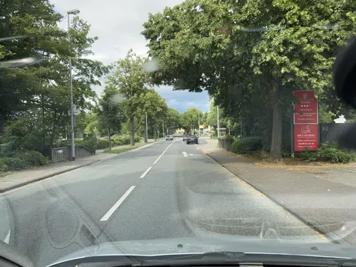
Spice Tandoori
Restaurant · Indian · 1.8 km
Dienstags exklusiv für Gruppen und besondere Anlässe nach vorheriger Reservierung geöffnet.
33 Mainzer Landstraße
Mo, We-Sa 11:30-14:30, 17:00-22:30; Su, PH 12:00-22:30
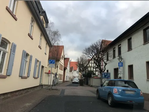
1811 Carmelo Riccardo Cali
Restaurant · Fine Dining, Italian · 1.6 km
24 Pfarrgasse
Tu-Sa 12:00-14:00, 18:00-22:00
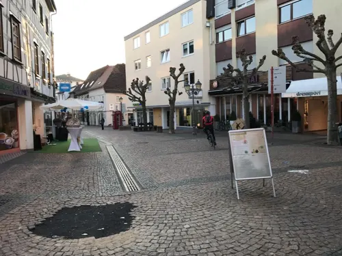
Altes Rathaus Café
Cafe · German · 1.8 km
40 Hauptstraße, Hofheim am Taunus
closed "vorübergehend geschlossen"
Backhaus Heislitz
Cafe · Coffee Shop · 0.8 km
39-41 Kapellenstraße
Mo-Fr 06:00-19:00; Sa 06:00-18:00; Su 07:00-18:00
Burkartsmühle - Indian Tandoor House
Restaurant · Indian · 2.8 km
Mit Biergarten
Mo-Fr 11:00-14:30,17:00-22:30; Tu off; Sa,Su 12:00-22:00
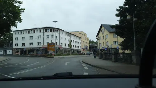
Cafe Paparazzi
Restaurant · Italian, Pizza, Ice Cream · 1.9 km
1 Wilhelmstraße, Hofheim am Taunus
Mo,Tu,Th-Sa 09:30-22:30; Su 10:00-22:30
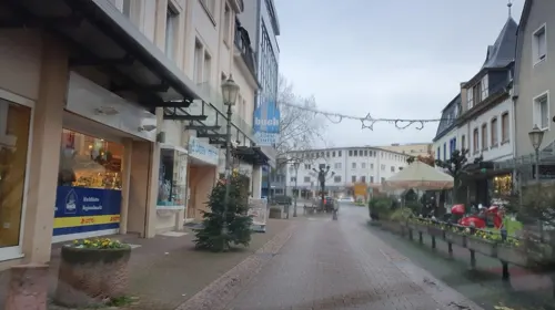
Eiscafé Venezia
Ice cream · Ice Cream · 1.9 km
65 Hauptstraße, Hofheim am Taunus
Tu-Sa 09:30-22:30; Su 11:00-22:00
My Thai
Restaurant · Thai · 1.8 km
42 Hauptstraße, Hofheim am Taunus
Mo-Th 11:00-22:00; Fr-Su 11:00-23:00
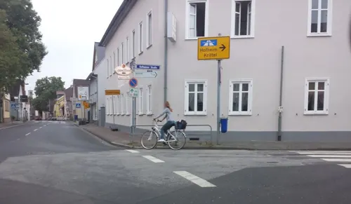


Restaurant Nassauer Hof
Restaurant · International · 2.0 km
49 Alt-Zeilsheim, Frankfurt am Main
Tu-Fr 16:00-22:00; Sa,Su 12:00-22:00
Ristorante l'Opera
Restaurant · Italian, Pizza · 1.8 km
3 Langgasse, Hofheim am Taunus
We-Su 18:00-22:00; Su 12:00-14:00
128 more on the map.
History
In July AD 754, the track which carried the dead Saint Boniface rested in the village over night. To the honour of the saint, the Bonifatiuskapelle (chapel of Boniface) was built.
The Thirty Years' War damaged Kriftel including the chapel, which was not rebuilt until 1755. It took so long because a big fire destroyed almost the entire village (34 houses out of 38) in 1661.
From 1945 up until the oil crisis in 1973, Kriftel experienced a population explosion due to massive immigration from urban sprawl and workers of the Hoechst-AG, who were offered cheap land to build their housing units.
In 1959, the chapel had to be relocated due to community growth.
During the mid-1970s, Kriftel fought for independence because Hofheim, the capital of the Main-Taunus district, wanted it to belong to it.
Airaines has been Kriftel's French sister city since 1981. The "Platz von Airaines" (Place of Airaines) at the train station was named after this partnership.
From the History section of Kriftel on Wikipedia, under CC BY-SA 4.0.
Where to stay8
Vital Hotel Frankfurt
Motel and hotel · 1.6 km
67 Niederhofheimer Straße, Hofheim am Taunus
Churches and places of worship19
Sankt Bartholomäus
Church · Catholic · 2.0 km
17 Alt-Zeilsheim, Frankfurt am Main
Evangelische Kirchengemeinde
Church · Protestant · 2.2 km
12 Schulstraße, Hattersheim
Fatih Moschee
Place of worship · Sunni · 2.3 km
1 Vogelweidestraße, Hattersheim am Main
Shopping43
Gas and EV charging15
Aldi West-Höchster Str. 50
EV charging · 2.5 km
50 West-Höchster Straße, Frankfurt am Main
Schools, colleges and libraries22
International School Frankfurt Rhein-Main
School · 2.4 km
33 Straße zur Internationalen Schule, Frankfurt am Main
Healthcare16
Tagesklinik Hofheim und Ärztezentrum
Clinic and pharmacy · 1.5 km
6 Reifenberger Straße, Hofheim am Taunus
Map of Kriftel
250 places. The map loads OpenStreetMap tiles when you open it.
Getting there and nearby towns
Frankfurt Airport (FRA) is the nearest airport with scheduled flights listed in OpenStreetMap, 9 km away.
- Raunheim 8 km south, about 8 min by car
- Schwalbach am Taunus 9 km northeast, about 9 min by car
- Königstein im Taunus 11 km north, about 11 min by car
- Steinbach am Taunus 12 km northeast, about 12 min by car
- Königstädten 14 km south, about 14 min by car
- Niedernhausen 14 km northwest, about 14 min by car
- Nauheim 15 km south, about 15 min by car
- Frankfurt am Main 16 km east, about 16 min by car
- Wiesbaden 16 km west, about 16 min by car
- Mainz 18 km southwest, about 18 min by car
Drive times are estimates from straight-line distance, not routes.
Local news
Headlines from INDB.
Reviews, tips and questions
Loading what members have shared...
Sources and licences
- GeoNames (CC BY 4.0): population, coordinates, regions and time zone
- Mapillary (see each image): photos
- OpenStreetMap contributors (ODbL 1.0): places, airports, map data
- Wikidata (CC0 1.0): elevation, founding date, time zone, website, landmarks and historic places
- Wikimedia Commons (see each image): photos
- Wikipedia (CC BY-SA 4.0): overview and history text
Photo credits
- Wegkreuz-Kriftel-Frankfurter Strasse, Schuppi, CC BY-SA 3.0
- Bonifatiuskreuz-Kriftel 3, Schuppi, CC BY-SA 4.0
- Bonifatiuskreuz-Kriftel 2, Schuppi, CC BY-SA 3.0
- Bonifatiuskreuz-Kriftel 1, Schuppi, CC BY-SA 3.0
- Kriftel Rathaus 20110818, Rudolf Stricker, Attribution
- Kriftel Lindenschule 20110818, Rudolf Stricker, Attribution
- Kriftel St. Vitus 20110818, Rudolf Stricker, Attribution
- Kriftel Bahnhof 20110818, Rudolf Stricker, Attribution
- Kriegerdenkmal Friedhof Kriftel privat 4, Wikitarisch, CC BY-SA 4.0
- Kriegerdenkmal Friedhof Kriftel privat 3, Wikitarisch, CC BY-SA 4.0
- Kriegerdenkmal Friedhof Kriftel privat 2, Wikitarisch, CC BY-SA 4.0
- Friedhofskreuz-Kriftel 2, Schuppi, CC BY-SA 3.0
- Friedhofskreuz-Kriftel 1, Schuppi, CC BY-SA 3.0
- Friedensmahnmal Friedhof Kriftel, Wikitarisch, CC BY-SA 4.0
- Friedensmahnmal Friedhof Kriftel Schriftzug, Wikitarisch, CC BY-SA 4.0
- Wegkreuz-Kriftel-Sittigstrasse Inschrift, Schuppi, CC BY-SA 3.0
- Wegkreuz-Kriftel-Sittigstrasse, Schuppi, CC BY-SA 3.0
- Wegkreuz-Kriftel-Sittigstrasse 2, Schuppi, CC BY-SA 3.0
- Kriegerdenkmal Friedhof Kriftel privat 5, Wikitarisch, CC BY-SA 4.0
- Kriegerdenkmal Friedhof Kriftel privat 6, Wikitarisch, CC BY-SA 4.0
- Kriegerdenkmal Friedhof Kriftel privat 1, Wikitarisch, CC BY-SA 4.0
- Papiermüllerkreuz-Kriftel-1, Schuppi, CC BY-SA 3.0
- Papiermüllerkreuz-Kriftel-2, Schuppi, CC BY-SA 3.0
- Kriftel - Field & Workers - geo.hlipp.de - 26952, Lewis Clarke on geo.hlipp.de, CC BY-SA 2.0
- Kriftel - Deichmann - geo.hlipp.de - 26951, Lewis Clarke on geo.hlipp.de, CC BY-SA 2.0
- 380 kV Kriftel, Adl252, CC BY-SA 4.0
- Main-Lahn-Bahn, Brücke B40, Kriftel, Sebastian Kasten, CC BY-SA 4.0
- Freileitungsmast Kriftel, Adl252, CC BY-SA 4.0
- Hattersheim, Kirche, Karsten Ratzke, CC0
- Justinuskirche Höchst south-east view November 2006, Eva K. / Eva K., CC BY-SA 2.5
- Meisterturm 1a, Muck, CC BY-SA 4.0
- Hofheim, Burgstraße 11, Karsten Ratzke, CC0
- Internationale Schule Frankfurt Rhein-Main, ISF Marketing Department. Uploaded by Zabadab 10:56, 4 October 2006 (UTC), CC BY-SA 3.0
- Hofheim, Main-Taunus-Schule, Karsten Ratzke, CC0
- St-Bartholomaeus-Zeilsheim-1, Joker, CC BY-SA 3.0
- Hofheim am Taunus De Merian Hassiae, Unknown author, Public domain
- Hofheim, Peter und Paul, Karsten Ratzke, CC0
- Hofheim, Evangelische Kirche, Karsten Ratzke, CC0
- Wald unter blauem Himmel, Iman2308, CC BY-SA 4.0
- St. Bonifatius, 2, Marxheim, Hofheim am Taunus, Main-Taunus-Kreis, GeorgDerReisende, CC BY-SA 4.0
- Elisabethenschule Hintereingang, Meister des Holy Getränks, CC0
- Street-level photo, robffm, CC BY-SA 4.0
- Street-level photo, rb61, CC BY-SA 4.0
- Street-level photo, rb61, CC BY-SA 4.0
- Street-level photo, b166er, CC BY-SA 4.0
- Street-level photo, b166er, CC BY-SA 4.0
- Street-level photo, miguel_andrade, CC BY-SA 4.0
- Street-level photo, miguel_andrade, CC BY-SA 4.0
- Street-level photo, chuck, CC BY-SA 4.0
- Street-level photo, miguel_andrade, CC BY-SA 4.0
- Street-level photo, miguel_andrade, CC BY-SA 4.0
- Street-level photo, teddy73, CC BY-SA 4.0
- Street-level photo, b166er, CC BY-SA 4.0
- Street-level photo, wegavision, CC BY-SA 4.0
- Street-level photo, Senfkorn, CC BY-SA 4.0
- Street-level photo, teddy73, CC BY-SA 4.0
- Street-level photo, miguel_andrade, CC BY-SA 4.0
- Street-level photo, teddy73, CC BY-SA 4.0
- Street-level photo, b166er, CC BY-SA 4.0
- Street-level photo, scg1176, CC BY-SA 4.0
- Street-level photo, b166er, CC BY-SA 4.0
- Street-level photo, miguel_andrade, CC BY-SA 4.0
- Street-level photo, chuck, CC BY-SA 4.0
- Street-level photo, b166er, CC BY-SA 4.0
- Street-level photo, chuck, CC BY-SA 4.0
- Street-level photo, b166er, CC BY-SA 4.0
- Street-level photo, miguel_andrade, CC BY-SA 4.0


Page built November 8, 2026. Spotted a mistake? Tell us or suggest a place.