


Steinbach am Taunus, Germany
Steinbach (Taunus)
Steinbach am Taunus is a town of 10,170 people in Hesse, Germany.
Why visit Steinbach am Taunus
Townapedia lists 15 museums and landmarks, 26 parks and trails, 48 places to eat, 7 places to stay and 3 attractions in and around town.
Highlights include Nida and Weißkirchener Wasserturm.
Weather in Steinbach am Taunus
Forecast from MET Norway (CC BY 4.0). Full forecast
About Steinbach am Taunus
Steinbach (Taunus) (German pronunciation: [ˈʃtaɪnbax] ) is a town in the Hochtaunuskreis that borders Frankfurt am Main to the east. Other neighbouring towns are Oberursel, Kronberg im Taunus and Eschborn. It is in the German state of Hesse.
From the Wikipedia article Steinbach (Taunus) (this version), under CC BY-SA 4.0.
Things to do3

Hofladen Hofgut Hohenwald
Farm and orchard · 2.5 km
69 Oberurseler Straße, Kronberg im Taunus


Museums and landmarks15

Nida
Monument and historic site · 4.9 km
Ancient Roman town in the northwestern suburbs of Frankfurt, Germany


Pumpenmuseum
Monument and historic site · 1.7 km
Leichtes Löschgruppenfahrzeug (LLG) 1942


3 more on the map.
Parks, trails and playgrounds26



14 more on the map.
Restaurants and cafes48
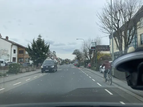
Restaurante Lucania
Restaurant · Italian · 2.3 km
Pizzeria free wifi kostenloser Wlan-Zugang mittels de-spot
231 Hauptstraße
Tu-Sa 11:30-15:00, 17:30-23:00; Su 12:00-23:00

Zum Rühl
Restaurant · German, Regional · 2.3 km
50 Kurmainzer Straße, Oberursel (Taunus)
Mo-Fr 11:30-22:30; Tu off; Sa,Su 11:00-22:30
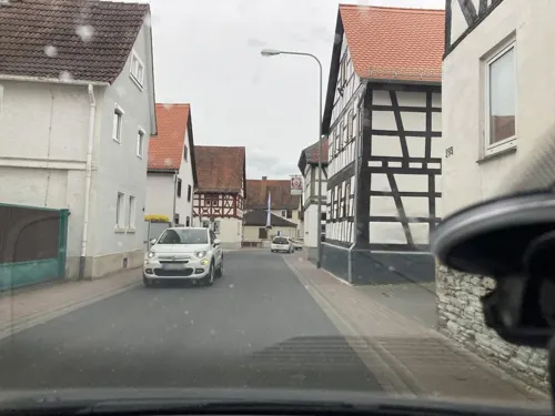
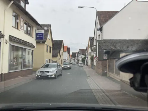
Hotel Bommersheim
Restaurant · German · 2.1 km
418 Hauptstraße, Eschborn
Mo-Fr 12:00-13:30,18:00-21:30
Ratsstube in Steinbach
Restaurant · German, Indian, Italian, Pizza
21 Gartenstraße, Steinbach (Taunus)
Mo-Su 11:30-14:30,17:30-23:00
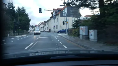
Ristorante Pizzeria Pisa
Restaurant · Pizza · 2.4 km
40 Kurmainzer Straße, Oberursel (Taunus)
Tu-Su 11:00-14:45,17:30-22:30; Mo off

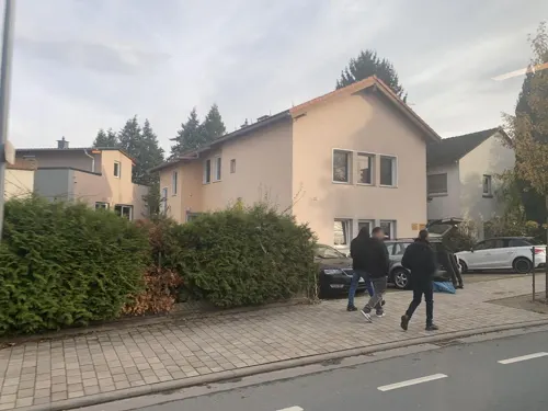
Bistro Ile De Ré
Restaurant
21 Eschborner Straße, Steinbach (Taunus)
Mo-Sa 18:00-24:00; Su,PH 12:00-14:30,17:00-23:00

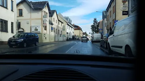
Café Pastis
Cafe
27 Obergasse, Steinbach (Taunus)
Tu-Fr 17:00-24:00; Sa 10:00-15:00; Su 10:00-18:00; Mo,PH off


36 more on the map.
History
Steinbach had its first documentary mention in 789 in the codex traditionum: "The Marca Steinbach goes as a donation to the Lorsch Benedictine Monastery".
The Protestant Church of St. George Steinbach belonged to the Archbishopric of Mainz and was built around 1270. But the oldest written reference dates from the year 1371, as the knight Frank von Kronberg bequeathed 40 guilders for their building maintenance in his will. Since 1367 Steinbach has belonged to the parish of Eschborn. Ecclesiastical Middle Authority was the Archdeacon of the provost of St. Peter in Mainz.
From 1866 to 1945, Steinbach was a Hessian island within otherwise Prussian territory in the Anterior Taunus (the part of the Taunus nearest Frankfurt): As the only community in Frankfurt's west, it belonged not to the Prussian-occupied Duchy of Nassau but to the Offenbach district in the Grand Duchy of Hesse, and as of the 1918 Revolution to the People's State of Hesse. Until 1945, therefore, the community bordered on "foreign" territory at every compass point.
Out of this community grew a small town – which only 50 years earlier did not even have 1000 inhabitants – when in 1972 Steinbach was granted town rights after municipal reform.
From the History section of Steinbach (Taunus) on Wikipedia, under CC BY-SA 4.0.
Where to stay7
Churches and places of worship9
Sankt Crutzen
Church · Catholic · 2.3 km
13 Bischof-Brand-Straße, Oberursel (Taunus)
St. Georgskirche
Church · Protestant
5 Kirchgasse, Steinbach (Taunus)
Versöhnungsgemeinde
Church · Evangelical · 1.9 km
62 Weißkirchener Straße, Oberursel (Taunus)
Shopping12
Gas and EV charging5
Schools, colleges and libraries11
Grundschule Weißkirchen
School · 2.3 km
15 Bischof-Brand-Straße, Oberursel (Taunus)
Healthcare5
Birkenapotheke
Clinic and pharmacy · 2.0 km
85 Kurmainzer Straße, Oberursel (Taunus)
Map of Steinbach am Taunus
141 places. The map loads OpenStreetMap tiles when you open it.
Getting there and nearby towns
Frankfurt Airport (FRA) is the nearest airport with scheduled flights listed in OpenStreetMap, 16 km away.
- Frankfurt am Main 10 km southeast, about 10 min by car
- Offenbach 16 km southeast, about 16 min by car
- Usingen 19 km north, about 19 min by car
- Wiesbaden 25 km west, about 25 min by car
- Mainz 29 km southwest, about 29 min by car
- Trebur 29 km southwest, about 29 min by car
- Darmstadt 33 km south, about 33 min by car
- Weilburg 42 km northwest, about 42 min by car
- Wächtersbach 52 km east, about 52 min by car
- Mannheim 76 km south, about 1 h 15 min by car
Drive times are estimates from straight-line distance, not routes.
Local news
Headlines from INDB.
Reviews, tips and questions
Loading what members have shared...
Sources and licences
- GeoNames (CC BY 4.0): population, coordinates, regions and time zone
- Mapillary (see each image): photos
- OpenStreetMap contributors (ODbL 1.0): places, airports, map data
- Wikidata (CC0 1.0): elevation, founding date, time zone, website, landmarks and historic places
- Wikimedia Commons (see each image): photos
- Wikipedia (CC BY-SA 4.0): overview and history text
Photo credits
- Pijnackerplatz Steinbach (Taunus), Harpot at German Wikipedia, Public domain
- Nida Heddernheim Toepferoefen1, Haselburg-müller, CC BY-SA 3.0
- Steinbach, St. Georgskirche, Karsten11, Public domain
- Weißkirchen, Kirche St. Crutzen (1), Karsten Ratzke, CC0
- Eschborn, Gefallenendenkmal, Hunsrückstraße, Mheinrich, CC BY-SA 4.0
- Kriegerdenkmal Friedhof Niederhöchstadt (Eschborn) 02, Wikitarisch, CC BY 4.0
- St. Georgskirche Steinbach Taunus Ostsüd Seite, Workandbuy, CC BY-SA 3.0
- Kriegsgräber Kriegerdenkmal Steinbach (Taunus) 05, Wikitarisch, CC BY 4.0
- Kriegsgräber Kriegerdenkmal Steinbach (Taunus) 07, Wikitarisch, CC BY 4.0
- Kriegsgräber Kriegerdenkmal Steinbach (Taunus) 08, Wikitarisch, CC BY 4.0
- Kriegsgräber Kriegerdenkmal Steinbach (Taunus) 11, Wikitarisch, CC BY 4.0
- Kriegsgräber Kriegerdenkmal Steinbach (Taunus) 06, Wikitarisch, CC BY 4.0
- Kriegsgräber Kriegerdenkmal Steinbach (Taunus) 10, Wikitarisch, CC BY 4.0
- Kriegsgräber Kriegerdenkmal Steinbach (Taunus) 04, Wikitarisch, CC BY 4.0
- Kriegsgräber Kriegerdenkmal Steinbach (Taunus) 09, Wikitarisch, CC BY 4.0
- Kriegsgräber Kriegerdenkmal Steinbach (Taunus) 12, Wikitarisch, CC BY 4.0
- Kriegsgräber Kriegerdenkmal Steinbach (Taunus) 15, Wikitarisch, CC BY 4.0
- Kriegsgräber Kriegerdenkmal Steinbach (Taunus) 14, Wikitarisch, CC BY 4.0
- Kriegsgräber Kriegerdenkmal Steinbach (Taunus) 13, Wikitarisch, CC BY 4.0
- Kriegsgräber Kriegerdenkmal Steinbach (Taunus) 16, Wikitarisch, CC BY 4.0
- Kriegsgräber Kriegerdenkmal Steinbach (Taunus) 03, Wikitarisch, CC BY 4.0
- Kriegsgräber Kriegerdenkmal Steinbach (Taunus) 02, Wikitarisch, CC BY 4.0
- Kriegsgräber Kriegerdenkmal Steinbach (Taunus) 18, Wikitarisch, CC BY 4.0
- Kriegsgräber Kriegerdenkmal Steinbach (Taunus) 01, Wikitarisch, CC BY 4.0
- Kriegsgräber Kriegerdenkmal Steinbach (Taunus) 17, Wikitarisch, CC BY 4.0
- Meadow near Steinbach 2020-03-25 10, Leonhard Lenz, CC0
- Meadow near Steinbach 2020-03-25 11, Leonhard Lenz, CC0
- Meadow near Steinbach 2020-03-25 12, Leonhard Lenz, CC0
- Meadow near Steinbach 2020-03-25 09, Leonhard Lenz, CC0
- Meadow near Steinbach 2020-03-25 08, Leonhard Lenz, CC0
- Meadow near Steinbach 2020-03-25 07, Leonhard Lenz, CC0
- Street with Altkönig near Steinbach 2020-03-25 02, Leonhard Lenz, CC0
- Street with Altkönig near Steinbach 2020-03-25 01, Leonhard Lenz, CC0
- Meadow near Steinbach 2020-03-25 04, Leonhard Lenz, CC0
- Meadow near Steinbach 2020-03-25 06, Leonhard Lenz, CC0
- Meadow near Steinbach 2020-03-25 05, Leonhard Lenz, CC0
- Altkoenig von Eschborn, MdE, CC BY-SA 3.0 de
- Meadow near Steinbach 2020-03-25 03, Leonhard Lenz, CC0
- Meadow near Steinbach 2020-03-25 02, Leonhard Lenz, CC0
- Meadow near Steinbach 2020-03-25 01, Leonhard Lenz, CC0
- Aussichtsturm Taunusblick, Muck, CC BY-SA 4.0
- Street-level photo, robffm, CC BY-SA 4.0
- Street-level photo, robffm, CC BY-SA 4.0
- Street-level photo, robffm, CC BY-SA 4.0
- Street-level photo, bente24, CC BY-SA 4.0
- Street-level photo, bente24, CC BY-SA 4.0
- Street-level photo, troher15, CC BY-SA 4.0
- Street-level photo, bente24, CC BY-SA 4.0
- Street-level photo, robffm, CC BY-SA 4.0
- Street-level photo, robffm, CC BY-SA 4.0
- Street-level photo, bente24, CC BY-SA 4.0
- Street-level photo, jurgenweighardt, CC BY-SA 4.0
- Street-level photo, bente24, CC BY-SA 4.0
- Street-level photo, bente24, CC BY-SA 4.0
- Street-level photo, bente24, CC BY-SA 4.0
- Street-level photo, robffm, CC BY-SA 4.0
- Street-level photo, bente24, CC BY-SA 4.0
- Street-level photo, bente24, CC BY-SA 4.0
- Street-level photo, tmka, CC BY-SA 4.0
- Street-level photo, troher15, CC BY-SA 4.0
- Street-level photo, mobilreader0815, CC BY-SA 4.0


Page built November 8, 2026. Spotted a mistake? Tell us or suggest a place.