


Königstein im Taunus, Germany
Königstein im Taunus is a town of 15,661 people in Hesse, Germany.
Why visit Königstein im Taunus
Townapedia lists 193 museums and landmarks, 53 parks and trails, 154 places to eat, 12 places to stay and 41 attractions in and around town.
Highlights include Opel-Zoo, Casals Forum, Höhenbach and Burg Kronberg.
Weather in Königstein im Taunus
Forecast from MET Norway (CC BY 4.0). Full forecast
About Königstein im Taunus
Königstein im Taunus (German pronunciation: [ˈkøːnɪçʃtaɪn ʔɪm ˈtaʊnʊs] , lit. 'Königstein in the Taunus') is a spa town that lies on the thickly wooded slopes of the Taunus in Hesse, Germany. The town is part of the Frankfurt Rhein-Main urban area and belongs to the Hochtaunuskreis district. Neighbouring places are Kronberg im Taunus, Glashütten, Schwalbach am Taunus, Bad Soden am Taunus and Kelkheim.
From the Wikipedia article Königstein im Taunus (this version), under CC BY-SA 4.0.
Things to do41


Atzelberg Tower
Monument and historic site · 5.9 km
Observation tower in Taunus




Bio Hofladen Pfeifer
Farm and orchard · 2.6 km
15 Kirchstraße, Bad Soden am Taunus
Tu 07:30-09:15,18:00-19:00; Th 07:30-12:00,18:00-19:00; Sa...




29 more on the map.
Museums and landmarks193


Burg Kronberg
Museum · 2.5 km
10/12 Schloßstraße, Kronberg im Taunus
We-Fr 13:00-17:00; Sa 13:00-18:00; Su,PH 11:00-18:00

Burgruine Königstein
Monument and historic site · 0.8 km
Historische Daten: Erste Erwähnung um 1000. Am 10. Sep. 1796 zerstörten die Franzosen die Burg. Seit 1922 im Besitz der Stadt Königstein.
Burgweg, Königstein im Taunus
Apr-Oct: PH,Mo-Su 10:00-19:00; Nov-Mar: Sa,Su 10:00-17:00
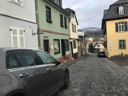


Burg Falkenstein
Monument and historic site · 1.2 km
Apr-Oct: Mo-Su 10:00-19:00; Nov-Mar: Mo-Su Off


Heidetrank Oppidum
Monument and historic site · 5.8 km
Celtic oppidum near Oberursel in the Taunus in Germany
181 more on the map.
Parks, trails and playgrounds53

Kurbad Königstein
Sports field and stadium · 0.7 km
Kassenschluss und letzter Einlass eine Stunde früher
1 Le-Cannet-Rocheville-Straße, Königstein im Taunus
Mo 16:00-21:30; Tu,We 09:00-21:30; Th-Sa 09:00-23:00; PH,Su 09:00-20:00
Naturbad Schwalbach
Sports field and stadium · 4.6 km
23 Wilhelm-Leuschner-Straße, Schwalbach am Taunus
May-Sep: Mo-Su 10:00-20:00, Jun 25-Aug 05: We,Su 08:00-20:00


41 more on the map.
Restaurants and cafes154

Landgasthof Zur Dorfschänke
Restaurant · Regional, German, Indian, Pizza · 1.4 km
Gut bürgerliche deutsche, italienische und indische Küche
185 Wiesbadener Straße, Königstein
We-Sa 17:00-21:00; Su 11:30-13:30, 17:00-21:00 off
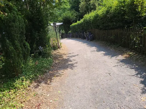
Naturfreundehaus Billtalhöhe
Restaurant · 3.2 km
Küchenschluss 1 Stunde vor Schließung. Jeden 1 Samstag im Monat ab 15:00 Flammkuchen aus dem Holzofen. TraditionellesSylvester 11 bis 14 Uhr.
1 Borgnisweg, Königstein im Taunus
Apr-Oct We-Su 11:00-21:00; Nov-Mar We-Su 11:00-18:00
Rote Mühle
Restaurant · German · 2.5 km
Durchgehend warme Küche bis 21:00 Uhr
1 Rote Mühle, Bad Soden
12:00-22:00; Nov-Feb Mo off
Uzun's Restaurant
Restaurant · Turkish · 4.5 km
Ein "richtiges" türkisches Gasthaus
13 Zum Quellenpark, Bad Soden am Taunus
Sa 17:30-23:00; Su-Fr 12:00-14:30,17:30-23:00
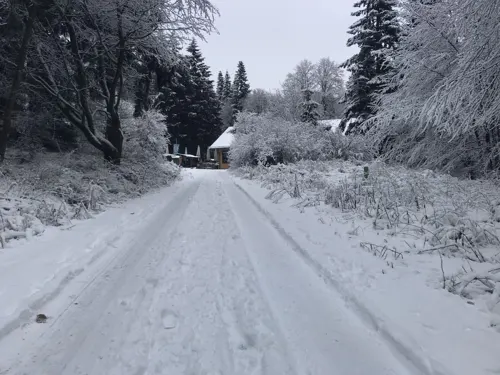
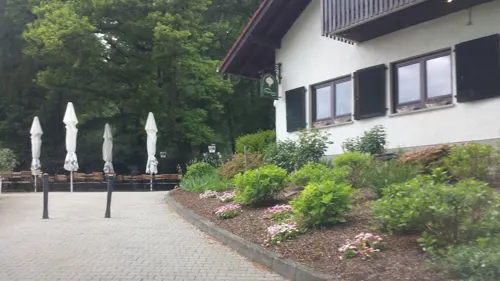
Bürgelstollen
Restaurant · International · 3.0 km
1 Bürgelstollen, Kronberg im Taunus
Sa-Su 12:00-23:00; Tu-Fr 17:00-23:00
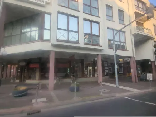
Café Sa’SIS
Cafe · Breakfast, Cake, Coffee Shop, French, Tea · 4.5 km
1 Adlerstraße, Bad Soden am Taunus
Mo-Su 07:00-18:00
Da Calogero
Restaurant · Italian · 4.5 km
Rathausplatz, Kelkheim (Taunus)
12:00-14:30,17:30-23:30; Tu off
Eberhards Scheuer
Restaurant · Barbecue, Cake, Coffee Shop, Regional · 4.3 km
1 Eberhard-Preis-Weg
Su 13:00-20:00
Fish Factory
Restaurant · Fish · 4.5 km
23 Zum Quellenpark, Bad Soden am Taunus
Tu,Fr 09:30-22:00; We,Th 09:30-18:00; Sa 09:30-15:00; Su,Mo,PH off

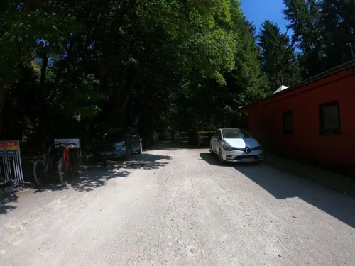


Fuchstanz - Das Waldgasthaus
Restaurant · Regional · 4.1 km
1 Tillmannsweg, Königstein im Taunus
Fr 11:00-19:00; Sa-Su 10:00-19:00
142 more on the map.
History
The town's founding date is unknown. The name 'Königstein' means 'King stone'. Local legend states that King Chlodwig (466–511) founded the town after building a castle on a hill, as well as a chapel.
Königstein was first mentioned in a document in 1215, making it likelier that the castle was built around the 12th century for the town's – and the Frankfurt-Cologne commercial road's – security.
Also in that time came the town's first lords, the Counts of Nürings, but they were supplanted in 1239 by the Lords of Hagen-Münzenberg into whose ownership the castle went as an Imperial fief. The Lords of Hagen-Münzenberg were in turn followed by the Lords of Bolanden-Falkenstein from 1255 to 1418, under whose rule Königstein was granted town rights in 1313. The Lords of Bolanden-Falkenstein were succeeded by the Lords of Eppstein, who were followed by the Counts of Stolberg in 1535, introducing the Reformation to the area.
By 1581, Königstein belonged to the Electorate of Mainz, which had incorporated the old County through a legal dispute. Early in the 17th century, in connection with the Counterreformation, the castle was remodelled into a fortress. However, this newer military stronghold met its end in the French Revolutionary Wars when the French blew it up in 1796, although this may have been unintentional.
From the History section of Königstein im Taunus on Wikipedia, under CC BY-SA 4.0.
Where to stay12
Churches and places of worship29
St. Martin
Church · Roman Catholic · 3.8 km
9 Rotlintallee, Kelkheim (Taunus)
Evangelische Gemeinde Bad Soden
Church · Protestant · 4.5 km
26 Zum Quellenpark, Bad Soden am Taunus
Evangelische Kirche
Church · Protestant · 3.2 km
5 Drei-Linden-Straße, Bad Soden am Taunus
Maria Geburt
Church · Roman Catholic · 2.5 km
12 Kirchstraße, Bad Soden am Taunus
Sankt Marien
Church · Roman Catholic · 0.6 km
18 Kirchstraße, Königstein im Taunus
St. Johannes der Täufer
Church · Catholic · 1.3 km
Waldhohlstraße, Königstein im Taunus
St. Peter und Paul
Church · Catholic · 2.7 km
3 Katharinenstraße, Kronberg im Taunus
Shopping24
Gas and EV charging11
Schools, colleges and libraries23
Healthcare19
Map of Königstein im Taunus
250 places. The map loads OpenStreetMap tiles when you open it.
Getting there and nearby towns
Wiesbaden Army Airfield (WIE) is the nearest airport with scheduled flights listed in OpenStreetMap, 18 km away.
- Schwalbach am Taunus 5 km southeast, about 5 min by car
- Steinbach am Taunus 7 km east, about 7 min by car
- Niedernhausen 11 km west, about 11 min by car
- Frankfurt am Main 17 km southeast, about 17 min by car
- Neu-Anspach 15 km north, about 15 min by car
- Usingen 18 km north, about 18 min by car
- Wiesbaden 19 km southwest, about 19 min by car
- Raunheim 19 km south, about 19 min by car
- Rosbach vor der Höhe 21 km northeast, about 21 min by car
- Offenbach 23 km southeast, about 23 min by car
Drive times are estimates from straight-line distance, not routes.
Local news
Headlines from INDB.
Reviews, tips and questions
Loading what members have shared...
Sources and licences
- GeoNames (CC BY 4.0): population, coordinates, regions and time zone
- Mapillary (see each image): photos
- OpenStreetMap contributors (ODbL 1.0): places, airports, map data
- Wikidata (CC0 1.0): elevation, founding date, time zone, website, landmarks and historic places
- Wikimedia Commons (see each image): photos
- Wikipedia (CC BY-SA 4.0): overview and history text
Photo credits
- Koenigstein im Taunus Stadt von Burg, Brion Vibber, CC BY-SA 3.0
- Burg Königstein im Taunus als Kulisse für Halloweenfest Frankenstein 2024 02, Wikitarisch, CC BY 4.0
- Wiesbadener Straße Königstein im Taunus 2023-04-14 01, Leonhard Lenz, CC0
- Dingweg Königstein im Taunus 2023-04-14 01, Leonhard Lenz, CC0
- Opel-Zoo Kronberg Afrikasavanne 26-09-2008 002, Tragopan, CC BY-SA 3.0
- Atzelbergturm, Jörg Braukmann, CC BY-SA 4.0
- Heidetränk Oppidum old Celtic oppidum, Leonhard Lenz, CC BY-SA 4.0
- Bad Soden Taunus Alter Kurpark, Daviidos, CC BY-SA 3.0
- Altkönig vom Großen Mannstein, Jörg Braukmann, CC BY-SA 4.0
- Königstein BNS, User:Karsten11, Public domain
- Burg-Kronberg-JR-E-65-2010-04-18, Johannes Robalotoff, CC BY-SA 3.0 de
- Burg-Koenigstein-JR-E-106-2010-04-25, Johannes Robalotoff, CC BY-SA 3.0 de
- Burg-Falkenstein-Taunus-B-10a-JR-2001-08-16, Johannes Robalotoff, CC BY-SA 2.0 de
- Ev.Kirche BSaTs, Meike Twietmeyer, CC BY-SA 3.0
- Hünerberg (Taunus), Schuppi, CC BY-SA 3.0
- Königstein, Hardtberg, Turm, Seitenansicht, Karsten11, Public domain
- Kempinski Hotel Falkenstein Jan05, Dietmar Giljohann at German Wikipedia, CC BY-SA 3.0
- Bad Soden Taunus Quellenpark1, Daviidos, CC BY-SA 3.0
- Stangelasschule-koenigstein2, SaiboT85, CC BY 3.0
- Königstein Taunusgymnasium vom Schulhof, Karsten11, CC0
- Villa Rothschild Kempinski, Simplex2, CC BY-SA 3.0
- Burgruine-falkenstein001, MyName ( dontworry ), CC BY-SA 2.5
- Kronberg, NSG Hinterste Neuwiese bei Kronberg, Karsten Ratzke, CC0
- Hünerbergwiesen von Oberursel, Karsten Ratzke, CC0
- Neuenhain, evangelische Kirche, Karsten Ratzke, CC0
- Alte Martinskirche in Hornau 02, Schuppi, CC BY-SA 4.0
- Hornau, Martinskirche, Vorderseite, Karsten11, Public domain
- NSG Kickelbach von Fischbach 2023-04-14 11, Leonhard Lenz, CC0
- Naturschutzgebiet Krebsbachtal bei Ruppertshain, Jörg Hager, CC BY-SA 3.0
- Hornau, Braubachtal bei Hornau, Karsten Ratzke, CC0
- Döngesberg 2020-03-25 01, Leonhard Lenz, CC0
- Altenhain, Kirche, Seitenansicht, Karsten Ratzke, CC0
- Königstein, Katholische Kirche, Karsten Ratzke, CC0
- P+p-vatikan-kronberg001, Dontworry, CC BY-SA 3.0
- Kronberg, Altkönigschule, Karsten Ratzke, CC0
- Das Casals Forum (Konzertsaal mit angegliedertem Studien- und Verwaltungszentrum), der Sitz der Kronberg Academy. ©Sára Timár, Kronberg Academy Stiftung, CC BY-SA 4.0
- Hiking trail at northwest of the Altkönig 4, Leonhard Lenz, CC BY-SA 4.0
- Luthmer II-091-Kronberg Grundriss der Burg, Ferdinand Luthmer, Public domain
- Hardtbergturm-01, Muck, CC BY-SA 4.0
- Altkoenig von Schwalbach MdE 3, MdE, CC BY-SA 3.0 de
- Königstein, KVB Klinik, Karsten11, Public domain
- Kronberg Grabmal Caspar II. von Cronberg, Karsten Ratzke, CC0
- Königstein, Haus der Begegnung nach der Sanierung, Karsten Ratzke, CC0
- Street-level photo, tmka, CC BY-SA 4.0
- Street-level photo, miguel_andrade, CC BY-SA 4.0
- Street-level photo, miguel_andrade, CC BY-SA 4.0
- Street-level photo, chuck, CC BY-SA 4.0
- Street-level photo, skineffect, CC BY-SA 4.0
- Street-level photo, miguel_andrade, CC BY-SA 4.0
- Street-level photo, dekarl, CC BY-SA 4.0
- Street-level photo, miguel_andrade, CC BY-SA 4.0
- Street-level photo, wegavision, CC BY-SA 4.0
- Street-level photo, dekarl, CC BY-SA 4.0
- Street-level photo, dekarl, CC BY-SA 4.0
- Street-level photo, miguel_andrade, CC BY-SA 4.0
- Street-level photo, tmka, CC BY-SA 4.0
- Street-level photo, dekarl, CC BY-SA 4.0
- Street-level photo, chuck, CC BY-SA 4.0
- Street-level photo, dekarl, CC BY-SA 4.0
- Street-level photo, miguel_andrade, CC BY-SA 4.0
- Street-level photo, chuck, CC BY-SA 4.0


Page built November 8, 2026. Spotted a mistake? Tell us or suggest a place.