


Why visit Laupheim
Townapedia lists 43 museums and landmarks, 20 parks and trails, 70 places to eat, 12 places to stay and 5 attractions in and around town.
Highlights include Moosmayer GbR, Hof Henle, Erinnerungsstätte Baltringer Haufen – Bauernkrieg in Oberschwaben and Kulturhaus Laupheim.
Weather in Laupheim
Forecast from MET Norway (CC BY 4.0). Full forecast
About Laupheim
Laupheim (German: [ˈlaʊphaɪm] ; Swabian: Laoba) is a major district town in southern Germany in the state of Baden-Württemberg. Laupheim was first mentioned in 778 and gained city rights in 1869. One of the main trading routes, from Ulm to Ravensburg and then on towards Lake Constance ran through Laupheim. Having developed from a rural settlement into a small urban area, Laupheim is home to a number of small to medium-sized industries and businesses.
From the Wikipedia article Laupheim (this version), under CC BY-SA 4.0.
Travel tips from other travellers: Laupheim on Wikivoyage (CC BY-SA 4.0).
Things to do5
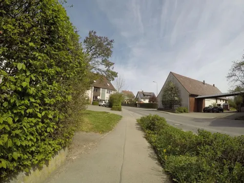


Damwildpark Achstetten
Zoo and aquarium · 3.7 km
Privat, nicht zugänglich, füttern strengstens verboten
24/7

Museums and landmarks43

Erinnerungsstätte Baltringer Haufen – Bauernkrieg in Oberschwaben
Museum · 6.2 km
19 Baltringer Hauptstraße, Mietingen
Mo,Th,Fr 08:30-12:00; Tu 08:30-12:00,16:30-18:00




Schloss - Freiherr Reuttner von Weyl
Monument and historic site · 3.7 km
9 Hauptstraße, Achstetten

Schloss Obersulmetingen
Monument and historic site · 3.9 km
1 Cölestin-Frener-Platz, Laupheim
31 more on the map.
Parks, trails and playgrounds20









8 more on the map.
Restaurants and cafes70
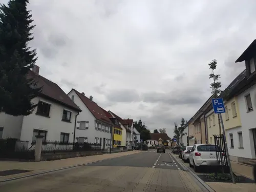
Alexis Sorbas
Restaurant · Greek · 0.8 km
70 Kapellenstraße, Laupheim
Tu-Sa 11:30-14:00,17:30-23:00; Su,PH 11:00-14:30,17:00-22:00

Ristorante Amalfi
Restaurant · Italian
3 König-Wilhelm-Straße, Laupheim
11:00-14:30, 17:30-23:00, Tu off
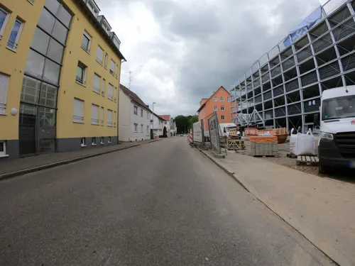
Split
Restaurant · Balkan
51 Rabenstraße, Laupheim
Tu-Fr 11:30-14:00, 17:00-22:00; Sa 16:00-22:00; Su 11:00-21:00
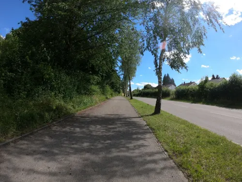
Zum Gartenheim
Restaurant · Balkan, Swabian · 1.1 km
93 Lange Straße, Laupheim
Tu-Fr 17:00-23:00; Sa-Su 11:00-23:00
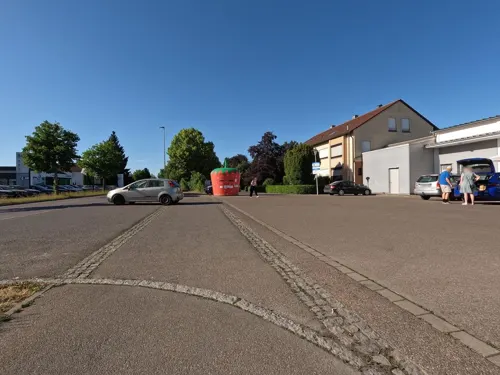
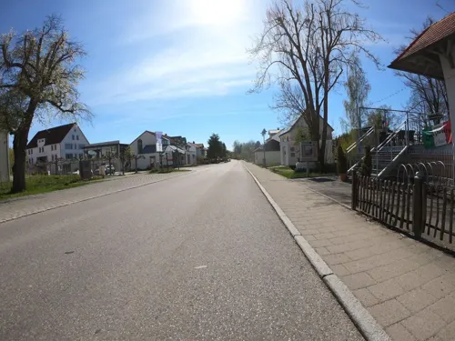
Holzwurm da Andrea
Restaurant · 4.2 km
2 Laupheimer Straße
Tu-Th 17:30-24:00, Fr-Sa 17:30-01:00, Su 17:00-22:00


Milch & Zucker
Cafe
30 Mittelstraße, Laupheim
Tu-Su,PH 11:00-14:00, Sa,Su 17:00-21:30, Tu-Fr 18:00-21:30


58 more on the map.
History
The area in and around Laupheim has been settled from very early times onwards. Archaeological evidence shows that 15000 years ago nomadic tribes roamed the countryside. From ca. 2000 BCE onwards, Celts inhabited this area. From the first century CE until around the year 260 CE, it was part of the Roman province of Raetia, after which the Alamanni invaded the Agri Decumates, eventually also settling in the area that was to become Laupheim. During archaeological excavations in 1840-1842 graves dating from the Merovingian period were discovered in the northern part of the town.
Laupheim was first mentioned as Louphaim in a charter dated 778. The charter is still kept in the archives of the monastery of St Gallen, Switzerland. This reference is the earliest of any city in Upper Swabia and any parish in the district of Biberach.
Situated in the vicinity of two major trade routes between the Lake of Constance and Ulm and the Swabian Alb and the valley of the river Iller respectively, Laupheim developed into a major settlement. In 853, it was elevated to the status of town when a court responsible for the Rammachgau (also spelled Rammagau) was set up there.
During the 9th century, parts of Laupheim came into the possession of the monastery of Weißenburg which was afterwards passed on to successive minor Swabian aristocratic houses.
From the History section of Laupheim on Wikipedia, under CC BY-SA 4.0.
Where to stay12
Reisemobilplatz Schloss Grosslaupheim
Campground · 0.7 km
15 Claus-Graf-Stauffenberg-Straße, Laupheim
Churches and places of worship36
St. Peter und Paul
Church · Roman Catholic · 0.7 km
15 Kirchberg, Laupheim
Sankt Georg und Sankt Sebastian (Niederkirch)
Church · Catholic · 3.8 km
1 Niederkirch, Laupheim
St. Martinus
Church · Roman Catholic · 6.6 km
27 Ringstraße, Schwendi
Shopping31
Gas and EV charging7
Schools, colleges and libraries27
Healthcare4
Map of Laupheim
250 places. The map loads OpenStreetMap tiles when you open it.
Getting there and nearby towns
Memmingen Airport (FMM) is the nearest airport with scheduled flights listed in OpenStreetMap, 38 km away.
- Ulm 21 km northeast, about 21 min by car
- Riedlingen 31 km west, about 31 min by car
- Münsingen 35 km northwest, about 35 min by car
- Bad Saulgau 37 km southwest, about 37 min by car
- Mengen 45 km southwest, about 45 min by car
- Bad Urach 46 km northwest, about 46 min by car
- Weingarten 50 km south, about 50 min by car
- Sigmaringen 51 km west, about 51 min by car
- Ravensburg 53 km south, about 53 min by car
- Reutlingen 58 km northwest, about 58 min by car
Drive times are estimates from straight-line distance, not routes.
Local news
Headlines from INDB.
Reviews, tips and questions
Loading what members have shared...
Sources and licences
- GeoNames (CC BY 4.0): population, coordinates, regions and time zone
- Mapillary (see each image): photos
- OpenStreetMap contributors (ODbL 1.0): places, airports, map data
- Wikidata (CC0 1.0): elevation, founding date, time zone, website
- Wikimedia Commons (see each image): photos
- Wikipedia (CC BY-SA 4.0): overview and history text
Photo credits
- Ensemble Wehrtürme Schloß Großlaupheim St Peter und Paul Laupheim, 4028mdk09, CC BY-SA 3.0
- Verkaufsoffener Sonntag und US-Car Treffen in Laupheim 2018, Wald-Burger8, CC BY-SA 4.0
- Rottum in Laupheim 03, Ekki01, CC BY-SA 3.0
- Laupheim CarlLaemmleBrunnen (3), Catatine, CC0
- Laupheim CarlLaemmleBrunnen (2), Catatine, CC0
- Laupheim CarlLaemmleBrunnen (1), Catatine, CC0
- Laupheim KaufhausEinstein, Catatine, CC0
- Laupheim GeburtshausLaemmle Tafel, Catatine, CC0
- Bahnhof Laupheim Stadt II, Triefeline, CC BY-SA 4.0
- St. Peter und Paul Laupheim 02, Helmlechner, CC0
- Bahnhof Laupheim Stadt I, Triefeline, CC BY 4.0
- Bahnhof Laupheim Stadt V, Triefeline, CC BY-SA 4.0
- Sporthalle Herrenmahd (Laupheim), Wald-Burger8, CC BY-SA 3.0
- Parkbad Laupheim, Wald-Burger8, CC BY-SA 3.0
- Bahnhof Laupheim Stadt III, Triefeline, CC BY-SA 4.0
- Bahnhof Laupheim Stadt, Triefeline, CC BY-SA 4.0
- Eingang zum Jüdischen Friedhof Laupheim 2015, Unterillertaler, CC BY-SA 4.0
- Gedenktafel am Eingang des Jüdischen Friedhof Laupheim, Unterillertaler, CC BY-SA 3.0
- Eingang zum Jüdischen Friedhof Laupheim, Unterillertaler, CC BY-SA 3.0
- JüdischerFriedhof Laupheim DenkmalSynagoge, Catatine, CC0
- JüdischerFriedhof Laupheim 2, Catatine, CC BY-SA 4.0
- Laupheim AdlerHaus (2), Catatine, CC0
- 27.05.17 Laupheim Stadt 628.543 (34436907973), Phil Richards from London, UK, CC BY-SA 2.0
- Laupheim AdlerHaus (1), Catatine, CC0
- JüdischerFriedhof Laupheim 4, Catatine, CC BY-SA 4.0
- St. Peter und Paul Laupheim 03, Helmlechner, CC0
- JüdischerFriedhof Laupheim 5, Catatine, CC BY-SA 4.0
- Carl-Laemmle-Gymnasium Nordansicht, Manfred Gerke, CC BY-SA 3.0 de
- Villa Rot im Winter, Arctic Blue, CC BY-SA 3.0
- Laupheim St Leonhard Kapelle, Ekki01, CC BY-SA 3.0
- Rißtissen Schule 02, Schneebiene, CC0
- Niederkirch in Untersulmetingen, Bischy174, CC BY-SA 4.0
- Achstetten castle, Ekki01, CC BY-SA 3.0
- Schloss Großlaupheim, Looniverse, CC BY-SA 4.0
- Naturschutzgebiet Schand, Widderwald, CC BY 4.0
- NSG Müsse, Widderwald, CC BY-SA 4.0
- Bußmannshausen Kirche, Richard Mayer, CC BY-SA 3.0
- Baltringen St.-Nikolaus-Kirche S 2010 08 01, Andreas F. Borchert, CC BY-SA 4.0
- Lourdeskapelle (Rißtissen) Seitenansicht, Schneebiene, CC0
- Mietingen parish church St Laurentius, Ekki01, CC BY-SA 3.0
- Walpertshofen parish church St Pantaleon, Ekki01, CC BY-SA 3.0
- Marienkirche (Laupheim) 182542, Trop86, CC0
- NSG Mohnscher Park, Widderwald, CC BY 4.0
- Street-level photo, msdess, CC BY-SA 4.0
- Street-level photo, osm_tron, CC BY-SA 4.0
- Street-level photo, msdess, CC BY-SA 4.0
- Street-level photo, msdess, CC BY-SA 4.0
- Street-level photo, msdess, CC BY-SA 4.0
- Street-level photo, tst, CC BY-SA 4.0
- Street-level photo, ray66, CC BY-SA 4.0
- Street-level photo, tst, CC BY-SA 4.0
- Street-level photo, tst, CC BY-SA 4.0
- Street-level photo, tst, CC BY-SA 4.0
- Street-level photo, tst, CC BY-SA 4.0
- Street-level photo, tst, CC BY-SA 4.0
- Street-level photo, msdess, CC BY-SA 4.0
- Street-level photo, msdess, CC BY-SA 4.0
- Street-level photo, msdess, CC BY-SA 4.0
- Street-level photo, KrebsRap, CC BY-SA 4.0
- Street-level photo, tst, CC BY-SA 4.0
- Street-level photo, msdess, CC BY-SA 4.0
- Street-level photo, msdess, CC BY-SA 4.0
- Street-level photo, ray66, CC BY-SA 4.0
- Street-level photo, osm_tron, CC BY-SA 4.0
- Street-level photo, tst, CC BY-SA 4.0


Page built November 8, 2026. Spotted a mistake? Tell us or suggest a place.