


Lanstrop, Germany
Lanstrop is a town of 4,176 people in North Rhine-Westphalia, Germany.
Why visit Lanstrop
Townapedia lists 20 museums and landmarks, 13 parks and trails, 40 places to eat and 7 attractions in and around town.
Highlights include Hofladen Sprave, Hof Freisendorf Hofladen, Lanstroper Ei and Haus Wenge.
Weather in Lanstrop
Forecast from MET Norway (CC BY 4.0). Full forecast
Things to do7
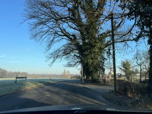
Hofladen Sprave
Farm and orchard · 2.5 km
131 Husener Straße, Dortmund
Mo 09:00-18:00; We-Fr 09:00-18:00; Sa 09:00-14:00; Tu,Su,PH off

Hof Mertin
Farm and orchard · 1.6 km
5 Bönninghauser Straße, Dortmund
Mo-Fr 09:00-18:00; Sa, Su 09:00-17:00



Museums and landmarks20



Kriegerdenkmal in Scharnhorst, Gefallene 1914-1918 und 1939-1945
Monument and historic site · 1.7 km
8 more on the map.
Parks, trails and playgrounds13





Abenteuerspielplatz Scharnhorst
Playground · 2.9 km
Mo-Fr 13:00-18:00

1 more on the map.
Restaurants and cafes40
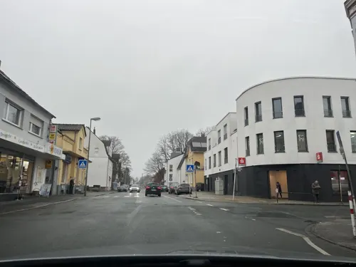
Haus Lahr
Restaurant · Regional, Mediterranean · 2.6 km
67 Husener Straße, Dortmund
We-Sa 17:00-22:00; Su 10:30-21:00

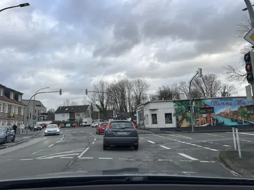
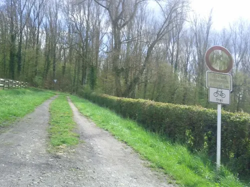
Mowwe Restaurant & Café
Restaurant · Cake, Regional · 1.2 km
185 Im Ostfeld, Dortmund
We-Su 11:00-23:00
Pizzeria Punto Alto
Restaurant · Pizza · 2.9 km
46 Flemerskamp, Dortmund
Tu-Th,Sa 13:00-21:00; Fr 16:00-21:00
Restaurant zum Turm
Restaurant · German, Mexican, Steak House · 2.9 km
1 Harkortstraße, Kamen
We-Sa 16:00-23:00; Su 10:30-22:00

Zur schönen Aussicht
Restaurant · Steak House
289 Kurler Straße, Dortmund
Tu-Sa 11:30-14:30,17:00-22:30; Su 11:30-22:30; PH 11:30-22:30; Mo off

Bäcker Beckmann
Bakery · 2.9 km
67 Flemerskamp, Dortmund
Mo-Fr 05:30-15:00; Sa 06:00-13:00; Su 07:00-12:00


Bäckerei Vorwerk
Cafe · 2.6 km
54 Husener Straße, Dortmund
Mo-Fr 07:00-17:30; Sa,Su 07:00-17:00; PH off
28 more on the map.
Churches and places of worship15
St. Johannes Baptista
Church · Catholic · 2.2 km
8 Werimboldstraße, Dortmund
Sv. Kiril i Metodij
Church · Macedonian Orthodox · 2.9 km
255 Husener Eichwaldstraße, Dortmund
Iglesia Ni Cristo - Locale of Dortmund
Church · 2.6 km
31 Hostedder Straße, Dortmund
Mazedonisch/Orthodoxe Kirchengemeinde St. Cyrill und Method
Church · 2.9 km
253a Husener Eichwaldstraße, Dortmund
Shopping13
Gas and EV charging3
Schools, colleges and libraries9
Katholische Hauptschule Husen
School · 2.7 km
270 Husener Eichwaldstraße, Dortmund
Healthcare7
Map of Lanstrop
127 places. The map loads OpenStreetMap tiles when you open it.
Getting there and nearby towns
Dortmund Airport (DTM) is the nearest airport with scheduled flights listed in OpenStreetMap, 7 km away.
- Lünen 5 km northwest, about 5 min by car
- Brackel 6 km south, about 6 min by car
- Wickede 6 km southeast, about 6 min by car
- Kamen 7 km east, about 7 min by car
- Bergkamen 7 km northeast, about 7 min by car
- Lindenhorst 9 km west, about 9 min by car
- Sölde 9 km south, about 9 min by car
- Dortmund 10 km southwest, about 10 min by car
- Unna 9 km southeast, about 9 min by car
- Holzwickede 10 km southeast, about 10 min by car
Drive times are estimates from straight-line distance, not routes.
Local news
Headlines from INDB.
Reviews, tips and questions
Loading what members have shared...
Sources and licences
- GeoNames (CC BY 4.0): population, coordinates, regions and time zone
- Mapillary (see each image): photos
- OpenStreetMap contributors (ODbL 1.0): places, airports, map data
- Wikidata (CC0 1.0): elevation, founding date, time zone, website
- Wikimedia Commons (see each image): photos
Photo credits
- Lanstrop, 14.2.14 - panoramio (1), Sebastian “sebrem” B…, CC BY-SA 3.0
- Kirche Lanstrop IMGP8155, Smial, CC BY-SA 2.0 de
- Am Lanstroper See, Sinesperanza, CC BY-SA 3.0
- Lanstrop, 14.2.14 - panoramio, Sebastian “sebrem” B…, CC BY-SA 3.0
- Lanstroper See, 14.2.14 - panoramio (3), Sebastian “sebrem” B…, CC BY-SA 3.0
- Lanstroper Ei, 14.2.14 - panoramio, Sebastian “sebrem” B…, CC BY-SA 3.0
- Lanstroper See - panoramio (2), Sebastian “sebrem” B…, CC BY-SA 3.0
- Lanstroper See - panoramio (1), Sebastian “sebrem” B…, CC BY-SA 3.0
- Lanstroper See - panoramio (3), Sebastian “sebrem” B…, CC BY-SA 3.0
- Lanstroper See - panoramio (4), Sebastian “sebrem” B…, CC BY-SA 3.0
- Lanstroper See - panoramio (5), Sebastian “sebrem” B…, CC BY-SA 3.0
- Lanstroper See, 14.2.14 - panoramio (2), Sebastian “sebrem” B…, CC BY-SA 3.0
- Lanstroper See, 14.2.14 - panoramio (1), Sebastian “sebrem” B…, CC BY-SA 3.0
- Lanstroper See, 14.2.14 - panoramio, Sebastian “sebrem” B…, CC BY-SA 3.0
- Bönninghauser Straße, 1, Lanstrop, Dortmund, GeorgDerReisende, CC BY-SA 4.0
- Bushaltestelle Bönninghauser Straße, 2, Lanstrop, Dortmund, GeorgDerReisende, CC BY-SA 4.0
- Bushaltestelle Bönninghauser Straße, 1, Lanstrop, Dortmund, GeorgDerReisende, CC BY-SA 4.0
- Lanstroper-See Südufer, Matthias Nonnenmacher, CC BY-SA 4.0
- Lanstroper Ei - panoramio, Sebastian “sebrem” B…, CC BY-SA 3.0
- Christuskirche Lünen-Horstmar, Heinz Marquardt, Welda, CC BY 3.0
- Kurler Busch3, Biker69, CC BY-SA 3.0
- Naturschutzgebiet Lanstroper See, BinaFalcon, CC BY-SA 3.0
- Katholische Kirche Kurl, Tbachner, CC BY-SA 3.0
- Haus Wenge 2, Tbachner, CC BY-SA 3.0
- Dortmund-Lanstrop-Ei-0005, user:Mbdortmund, GFDL 1.2
- Horstmarer See 2, Tbachner, CC BY-SA 3.0
- St.-Elisabeth-Krankenhaus Kurl 006, Helfmann, CC BY-SA 4.0
- Auenwald, BinaFalcon, CC BY-SA 3.0
- ND-11 b - e, Stieleichen, 4, Lanstrop, Dortmund, GeorgDerReisende, CC BY-SA 4.0
- Haus Wenge, Tbachner, CC BY-SA 3.0
- Wasserturm 'Lanstroper Ei', Dortmund, Rkikultur, CC BY-SA 4.0
- Lanstropersee, Kira Nerys, CC BY-SA 3.0
- Alte Körne2, Itti, CC BY-SA 3.0 de
- DSC 7267-Haus-Kurl, Galerist, CC0
- Schneeglöckchen, 14.2.14 -) - panoramio, Sebastian “sebrem” B…, CC BY-SA 3.0
- View over Dortmund - panoramio (1), Sebastian “sebrem” B…, CC BY-SA 3.0
- Street-level photo, mapchris, CC BY-SA 4.0
- Street-level photo, donortheast, CC BY-SA 4.0
- Street-level photo, ptks, CC BY-SA 4.0
- Street-level photo, ptks, CC BY-SA 4.0
- Street-level photo, ptks, CC BY-SA 4.0
- Street-level photo, ptks, CC BY-SA 4.0
- Street-level photo, ptks, CC BY-SA 4.0
- Street-level photo, ptks, CC BY-SA 4.0
- Street-level photo, ptks, CC BY-SA 4.0
- Street-level photo, ptks, CC BY-SA 4.0
- Street-level photo, ptks, CC BY-SA 4.0
- Street-level photo, poxonline, CC BY-SA 4.0
- Street-level photo, poxonline, CC BY-SA 4.0
- Street-level photo, ptks, CC BY-SA 4.0
- Street-level photo, ptks, CC BY-SA 4.0
- Street-level photo, ptks, CC BY-SA 4.0
- Street-level photo, ptks, CC BY-SA 4.0
- Street-level photo, poxonline, CC BY-SA 4.0
- Street-level photo, ptks, CC BY-SA 4.0
- Street-level photo, mapchris, CC BY-SA 4.0
- Street-level photo, ptks, CC BY-SA 4.0
- Street-level photo, ptks, CC BY-SA 4.0


_-_panoramio.jpg)

Page built November 9, 2026. Spotted a mistake? Tell us or suggest a place.