


Bergkamen, Germany
Bergkamen is a town of 52,329 people in North Rhine-Westphalia, Germany.
Why visit Bergkamen
Townapedia lists 107 museums and landmarks, 52 parks and trails, 180 places to eat, 19 places to stay and 18 attractions in and around town.
Highlights include Gemüsehof Grobe, Hof Freisendorf Hofladen, Stadtmuseum and Haus Reck.
Weather in Bergkamen
Forecast from MET Norway (CC BY 4.0). Full forecast
About Bergkamen
Bergkamen (German pronunciation: [bɛʁkˈkaːmən] ; Westphalian: Biärgkoamen) is a town in the district of Unna, in North Rhine-Westphalia, Germany. It is situated south of the river Lippe, approx. 15 km (9 mi) north-east of Dortmund and 15 km (9 mi) south-west of Hamm.
From the Wikipedia article Bergkamen (this version), under CC BY-SA 4.0.
Travel tips from other travellers: Bergkamen on Wikivoyage (CC BY-SA 4.0).
Photos of Bergkamen


Things to do18

Gemüsehof Grobe
Farm and orchard · 5.3 km
Mo,Tu,Th,Fr 10:00-12:30,14:30-18:00; Sa 10:00-14:00; We off

Hof Brüggemann
Farm and orchard · 3.3 km
Mo,We,Fr 09:00-13:00; Tu,Th 15:00-18:00; Sa 08:00-13:00


6 more on the map.
Museums and landmarks107


Fünf-Bogen-Brücke
Monument and historic site · 3.6 km
Technical_monument

Haus Velmede
Monument and historic site · 3.4 km
4 Velmede, Bergkamen

Kulturzentrum Schacht III
Monument and historic site · 3.1 km
7 Zum Schacht III, Bergkamen




95 more on the map.
Parks, trails and playgrounds52



Feuchtgebietskomplex zwischen Landwehrstraße und Datteln-Hamm-Kanal
Hiking and trails · 3.2 km


40 more on the map.
Restaurants and cafes180
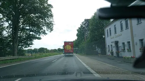
Galgenbach
Restaurant · International · 4.7 km
191 Lünener Straße, Werne
Tu-Fr 17:00-22:00; Sa,Su 11:30-14:30,17:00-22:00; Mo off
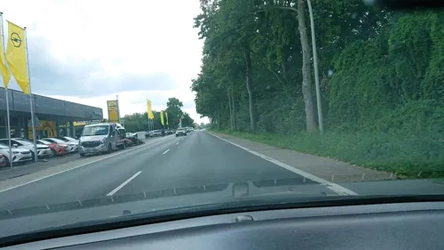
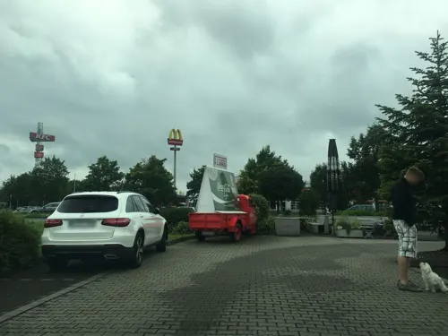
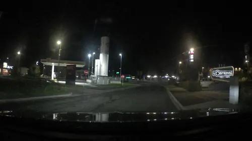

Restaurant am Yachthafen
Restaurant · Balkan · 2.8 km
Küche fleischlastig (deutsch-balkan, Steaks), Riesenportionen, günstig.
40 Hafenweg, Bergkamen
We-Mo 11:30-22:00; Tu off

Cafe Extrablatt
Cafe · Coffee Shop · 2.8 km
8 Kampstraße, Kamen
Mo-Sa 08:30-18:00+; PH,Su 09:00-18:00+
Gao 73
Restaurant · Vietnamese · 3.4 km
3 Rathausplatz
Mo-Fr 11:30-15:00, 17:00-22:00; Sa-Su 11:30-22:00
Gate to Asia II
Restaurant · Chinese · 5.4 km
4 Urnenfeldstraße, Hamm
Tu-Sa 11:30-14:30,17:30-22:00; Su 11:30-21:00
La Strada
Restaurant · Italian, Pizza · 5.4 km
37 Bonenstraße, Werne
Tu-Fr 12:00-14:00; Tu-Su 17:00-22:00; PH 17:00-22:00; Mo off
Pad Thai
Restaurant · Thai · 2.8 km
4 Adenauerstraße, Kamen
Mo,Tu,Th,Fr 11:30-21:00; Sa,Su 15:00-21:00; PH 15:00-21:00; We off
168 more on the map.
History
In February 1946, a coal mine in the city suffered a dust explosion that killed 418 miners. This was the worst mining accident in German history.
From the History section of Bergkamen on Wikipedia, under CC BY-SA 4.0.
Notable people from Bergkamen
 HaftbefehlGerman rapperPhoto: Sven Mandel, CC BY-SA 4.0
 Konrad OttGerman philosopherPhoto: Bundestagsfraktion Bündnis 90/Die Grünen, CC BY 2.0
 Ernst von Bodelschwingh-VelmedePrussian politician (1794–1854)Photo: Friedrich Jentzen (1815-1901), Public domain
- Eugen DrewermannGerman psychologist and theologian (born 1940)
- Hans SennholzAustrian School economist (1922-2007)
Born in Bergkamen, according to Wikidata (CC0). Each name links to its Wikipedia article.
Where to stay19
Churches and places of worship41
St.-Christophorus-Kirche
Church · Roman Catholic · 5.3 km
1 Kirchhof, Werne
Shopping65
Gas and EV charging27
Schools, colleges and libraries38
Healthcare28
Map of Bergkamen
250 places. The map loads OpenStreetMap tiles when you open it.
Getting there and nearby towns
Dortmund Airport (DTM) is the nearest airport with scheduled flights listed in OpenStreetMap, 11 km away.
- Kamen 3 km southeast, about 3 min by car
- Werne 5 km north, about 5 min by car
- Lanstrop 7 km southwest, about 7 min by car
- Lünen 8 km west, about 8 min by car
- Kurl-Husen 8 km southwest, about 8 min by car
- Bönen 9 km east, about 9 min by car
- Unna 9 km south, about 9 min by car
- Wickede 9 km south, about 9 min by car
- Derne 10 km southwest, about 10 min by car
- Asseln 11 km south, about 11 min by car
Drive times are estimates from straight-line distance, not routes.
Towns near Bergkamen


Keep exploring
Local news
Headlines from INDB.
Reviews, tips and questions
Loading what members have shared...
Sources and licences
- GeoNames (CC BY 4.0): population, coordinates, regions and time zone
- Mapillary (see each image): photos
- OpenStreetMap contributors (ODbL 1.0): places, airports, map data
- Wikidata (CC0 1.0): elevation, founding date, time zone, website, landmarks and historic places
- Wikimedia Commons (see each image): photos
- Wikipedia (CC BY-SA 4.0): overview and history text
Photo credits
- Russische Tanzbar in Bergkamen, Spacekid, CC0
- 59192 Bergkamen, Germany - panoramio (2), Foto Fitti, CC BY-SA 3.0
- Bergkamen Schachtanlage Neu-Monopol Bergkamen IMGP0059 wp, smial, CC BY-SA 2.0 de
- Bergkamen Rathaus smial, Smial, CC BY-SA 2.0 de
- 59192 Bergkamen, Germany - panoramio (9), Foto Fitti, CC BY-SA 3.0
- Cappenberg-Stiftskirche-IMG 1201, Mbdortmund, GFDL 1.2
- Bergkamen Bummannsburg, Reinhard Hunscher, CC BY-SA 2.0 de
- Sesekebruecke, The original uploader was Markus Schweiß at German Wikipedia ., CC BY-SA 3.0
- Haus Reck 1, Stahlkocher, CC BY-SA 3.0
- Bergkamen Schacht 3, Reinhard Hunscher, CC BY-SA 2.0 de
- Haus Heeren1, Roland Arhelger, CC BY 2.5
- Margaretenkirche (Methler) (3a), Chris06, CC BY-SA 4.0
- RüntheMarina YachtanlegerB233Brücke, NatiSythen, CC BY-SA 3.0
- Kamen Pauluskirche IMGP1263 wp, smial, CC BY-SA 2.0 de
- Werne-070602 7611-Steinhaus, Mbdortmund, GFDL 1.2
- Werne-Christophorus-DSC 0093Kopie, Mbdortmund, CC BY-SA 3.0
- Naturschutzgebiet Mühlenbruch, Ulrich Kostede, CC BY-SA 4.0
- Museum Bergkamen Oberaden IMGP0497, Smial at de.wikipedia, CC BY-SA 2.0 de
- Das heutige Hauptgebäude von Haus Velmede von Norden, Castritus, CC BY-SA 4.0
- Marga-Spiegel-Sekundarschule-Gebäude, Velwark, CC BY-SA 4.0
- Kamen Kirche IMGP1043 wp, smial, CC BY-SA 2.0 de
- Oberaden 12, Christian Alexander Tietgen, CC BY 4.0
- Stolperstein August Kühler, MGHI, CC BY-SA 4.0
- Stolperstein Ernst Bronheim, MGHI, CC BY-SA 4.0
- Bergkamen, Beversee -- 2014 -- 8863, Dietmar Rabich, CC BY-SA 4.0
- Bergkamen Lippeauen, Reinhard Hunscher, CC BY-SA 2.0 de
- Lippe bei bergkamen, Tbachner, Public domain
- Heeren-Sammlung Duncker (5367310), Alexander Duncker, Public domain
- Margaretenkirche (Methler) (3), Chris06, CC BY-SA 4.0
- Marina Bergkamen Ruenthe, Stefan Scheer, CC BY 2.5
- Städtisches Gymnasium, 1, Hammer Straße 19, Kamen, Landkreis Unna, GeorgDerReisende, CC BY-SA 4.0
- Blick auf den Beversee mit Seerosen im Vordergrund, Jan Föst, CC BY-SA 4.0
- Bergkamen, Heil, Naturschutzgebiet Lippeaue -- 2014 -- 8866, Dietmar Rabich, CC BY-SA 4.0
- Hamm, Datteln-Hamm-Kanal -- 2014 -- 8854, Dietmar Rabich, CC BY-SA 4.0
- Amalie Hertz Stolperstein, MGHI, CC BY-SA 4.0
- Lieselotte Hertz Stolperstein, MGHI, CC BY-SA 4.0
- Grete Hertz Stolperstein, MGHI, CC BY-SA 4.0
- Hermann Hertz Stolperstein, MGHI, CC BY-SA 4.0
- Auf der Alm - panoramio (1), Foto Fitti, CC BY-SA 3.0
- Auf der Alm - panoramio, Foto Fitti, CC BY-SA 3.0
- Römerpark Bergkamen Rekonstruktion Holz-Erde-Mauer 1247, Creosoph, CC0
- Street-level photo, saschahaberkorn, CC BY-SA 4.0
- Street-level photo, analuisa, CC BY-SA 4.0
- Street-level photo, ptks, CC BY-SA 4.0
- Street-level photo, analuisa, CC BY-SA 4.0
- Street-level photo, descilla, CC BY-SA 4.0
- Street-level photo, poxonline, CC BY-SA 4.0
- Street-level photo, ptks, CC BY-SA 4.0
- Street-level photo, poxonline, CC BY-SA 4.0
- Street-level photo, ptks, CC BY-SA 4.0
- Street-level photo, ptks, CC BY-SA 4.0
- Street-level photo, ptks, CC BY-SA 4.0
- Street-level photo, ptks, CC BY-SA 4.0
- Street-level photo, ptks, CC BY-SA 4.0
- Street-level photo, ptks, CC BY-SA 4.0
- Street-level photo, ptks, CC BY-SA 4.0
- Street-level photo, saschahaberkorn, CC BY-SA 4.0
- Street-level photo, analuisa, CC BY-SA 4.0
- Street-level photo, analuisa, CC BY-SA 4.0
- Street-level photo, ptks, CC BY-SA 4.0
- Street-level photo, saschahaberkorn, CC BY-SA 4.0
- Street-level photo, ptks, CC BY-SA 4.0


Page built November 9, 2026. Spotted a mistake? Tell us or suggest a place.