


Lindenhorst, Germany
Lindenhorst is a town of 6,005 people in North Rhine-Westphalia, Germany.
Why visit Lindenhorst
Townapedia lists 48 museums and landmarks, 12 parks and trails, 56 places to eat, 1 place to stay and 5 attractions in and around town.
Highlights include Fletch Bizzel, Opernhaus Dortmund, Deutsches Industrielack-Museum and Naturmuseum Dortmund.
Weather in Lindenhorst
Forecast from MET Norway (CC BY 4.0). Full forecast
Things to do5

Fletch Bizzel
Cinema and theater · 4.1 km
Theatre in North Rhine-Westphalia, Germany

Opernhaus Dortmund
Cinema and theater · 4.1 km
Opera house of Dortmund
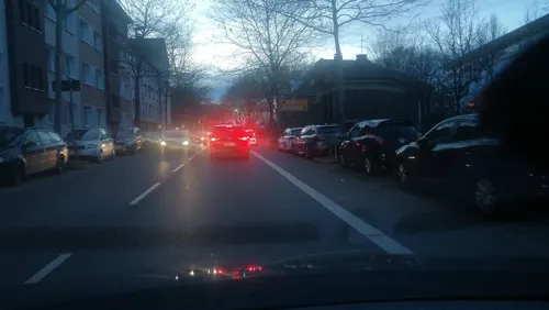

Museums and landmarks48

Deutsches Industrielack-Museum
Museum · 2.2 km
13 Drehbrückenstraße, Dortmund
"keine regelmäßigen Öffnungszeiten"


Museum of Art and Cultural History (Dortmund)
Museum · 3.5 km
Municipal museum in Dortmund, North Rhine-Westphalia, Germany

Museum Ostwall
Museum · 4.1 km
Museum of modern and contemporary art in Dortmund, Germany

Steinwache
Monument and historic site · 3.2 km
Memorial museum in Dortmund, Germany
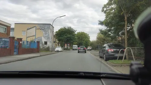
MASCHINERIE
Museum · 1.8 km
Areal für Kunst, Kultur und Musik an der Wasserkante. Öffnungszeiten: Von Mai bis Oktober jeden 2. Samstag ab Nachmittags, Elektronische...
100 Speicherstraße, Dortmund


Akustisches Denkmal Schachtglocke der Zeche Minister Stein
Monument and historic site · 1.0 km
36 more on the map.
Parks, trails and playgrounds12






Restaurants and cafes56
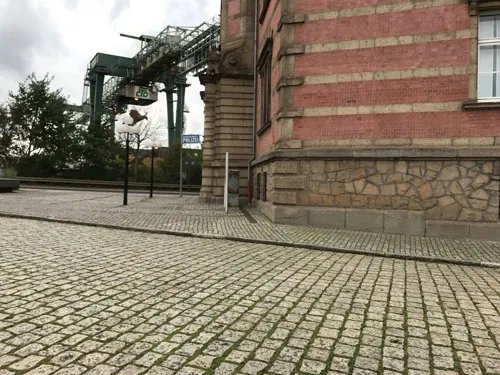
Tyde Studios
Bar and pub · 2.5 km
16 Mathiesstraße, Dortmund
"in den Herbst- und Wintertagen nur bei Veranstaltungen geöffnet....
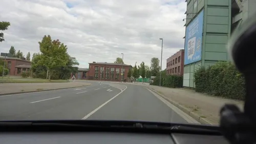
eatalio
Restaurant · Italian · 0.9 km
6 Deutsche Straße, Dortmund
We-Sa,PH 17:30-21:30; Su 11:30-14:30,17:30-21:30
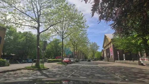
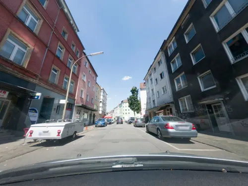

Westfalenbäckerei Niehaves
Bakery · 2.4 km
94-96 Schützenstraße, Dortmund
Mo-Fr 07:00-18:00; Sa 07:00-16:30; Su, PH off
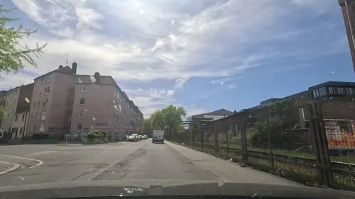

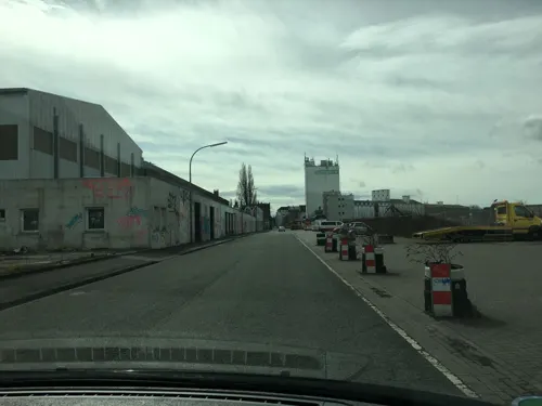
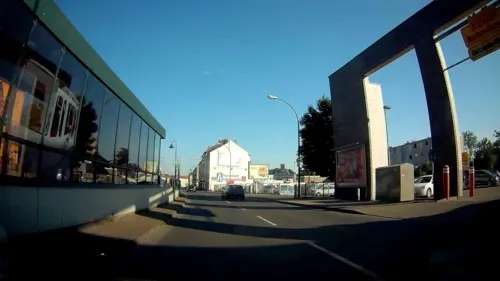
Niehaves Westfalenbäckerei
Bakery · 2.2 km
21 Carl-Holtschneider-Straße, Dortmund
Mo-Fr 06:30-18:00; Sa 07:00-18:00; Su 08:30-11:30

Rausha Restaurant
Restaurant · Italian, Turkish, Oriental · 2.4 km
19 Haydnstraße, Dortmund
Mo-Su 08:00-20:00
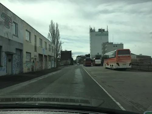


Umschlagplatz
Bar and pub · 2.1 km
65 Speicherstraße, Dortmund
Mo-Fr 16:00-22:00; Sa 14:00-22:00; Su 12:00-22:00

Gaststätte Schmiedingslust
Bar and pub · 1.3 km
45 Westerholz, Dortmund
Fr 14:00-20:00; Sa 12:00-20:00; Su 12:00-19:00
44 more on the map.
Where to stay1
Churches and places of worship19
Abu Bakr Moschee
Place of worship · 2.2 km
8a Carl-Holtschneider-Straße, Dortmund
Neuapostolische Kirche
Church · New Apostolic · 1.1 km
247 Evinger Straße, Dortmund
Shopping25
Gas and EV charging7
Schools, colleges and libraries14
Helmholtz-Gymnasium Dortmund
School · 2.4 km
122 Münsterstraße, Dortmund
Healthcare7
Apotheke Neue Evinger Mitte
Clinic and pharmacy · 0.9 km
4 Deutsche Straße, Dortmund
Apotheke am Hackländerplatz
Clinic and pharmacy · 1.9 km
207 Münsterstraße, Dortmund
Map of Lindenhorst
194 places. The map loads OpenStreetMap tiles when you open it.
Getting there and nearby towns
Dortmund Airport (DTM) is the nearest airport with scheduled flights listed in OpenStreetMap, 12 km away.
- Dortmund 4 km south, about 4 min by car
- Mengede 5 km northwest, about 5 min by car
- Westerfilde 5 km west, about 5 min by car
- Dorstfeld 6 km southwest, about 6 min by car
- Oestrich 6 km west, about 6 min by car
- Kirchlinde 6 km west, about 6 min by car
- Brackel 7 km east, about 7 min by car
- Lünen 9 km northeast, about 9 min by car
- Waltrop 9 km north, about 9 min by car
- Lütgendortmund 9 km southwest, about 9 min by car
Drive times are estimates from straight-line distance, not routes.
Local news
Headlines from INDB.
Reviews, tips and questions
Loading what members have shared...
Sources and licences
- GeoNames (CC BY 4.0): population, coordinates, regions and time zone
- Mapillary (see each image): photos
- OpenStreetMap contributors (ODbL 1.0): places, airports, map data
- Wikidata (CC0 1.0): elevation, founding date, time zone, website, landmarks and historic places
- Wikimedia Commons (see each image): photos
Photo credits
- Malakoffturm Fürst Hardenberg Lindenhorst - panoramio, Sebastian “sebrem” B…, CC BY-SA 3.0
- Malakoffturm Fürst Hardenberg Lindenhorst - panoramio (1), Sebastian “sebrem” B…, CC BY-SA 3.0
- Malakoffturm Fürst Hardenberg Lindenhorst - panoramio (2), Sebastian “sebrem” B…, CC BY-SA 3.0
- Lindenhorster Straße 243, Mirko Klotz (Klotzi), CC BY-SA 3.0 de
- St. Johannes der Täufer (Lindenhorst) Dortmund-1745, User:Creosoph, CC BY-SA 4.0
- Oper Dortmund, Lucas Kaufmann , edited by User:Gisbert K, CC BY-SA 3.0
- Dortmund Museum Kunst Kulturgeschichte IMGP8282, Smial, CC BY-SA 2.0 de
- Dortmund-U-100616-14305-children, user:Mbdortmund, GFDL 1.2
- Steinwache Dortmund -StreetArt -LippeadlerCity -BjörnStankewitz -Fotokunst (28045830417), Björn Stankewitz from Lünen, Björn, CC BY 2.0
- Marienkirche-DSCN6357, Mathias Bigge, CC BY-SA 2.5
- Dortmund, Petrikirche, Palickap, CC BY-SA 3.0
- NRW, Dortmund, Altstadt - Propsteikirche St-Johann Baptist 01, Островский Александр, Киев, CC BY-SA 3.0
- Reinoldi turm, User Smial on de.wikipedia, CC BY-SA 2.0 de
- Fachhochschule Dortmund 1246380924, Daniel Gura, GFDL
- Alte Kolonie Eving IMGP3798 wp, smial, CC BY-SA 2.0 de
- Brauereimuseum Dortmund Eingang, Unknown author, CC BY-SA 3.0
- Dortmund - Immermannstraße - Depot 19 ies, Frank Vincentz, CC BY-SA 3.0
- St.Barbara Dortmund Eving, Tbachner, CC BY 3.0
- Fredenbaum-IMG 5296, Mathias Bigge, Public domain
- Dortmund Naturkundemuseum Frontansicht, Unknown author, CC BY-SA 2.0 de
- Dortmund-Innenstadt-Nord 20.04.2013 15-10-12, Rudko, CC0
- Forest in Brechten, Dortmund, Germany - panoramio, alpenzoo, CC BY-SA 3.0
- Sueggel3, Potupin, Public domain
- Pk-do003, Kateer San und Repro, Public domain
- Alte Kolonie Eving Dortmund typisches Haus, Mario Fischer, CC BY-SA 3.0
- Big tipi 1, Wolfgang Hunscher, Dortmund, CC BY-SA 3.0
- Museum für Naturkunde Dortmund, Lucas Kaufmann, CC BY-SA 3.0
- LA Fassade, Reclus, CC0
- 210604 Dortmund LB055, Vinaceus, CC BY-SA 4.0
- Dortmund Fürst Hardenberg, Arnoldius, CC BY-SA 4.0
- Hans Klemens Schreiber Profilfoto, MettyMegastar, CC BY-SA 4.0
- Alte Kolonie Eving Wohlfahrtsgebaeude IMGP3756 wp, smial, CC BY-SA 2.0 de
- Dortmund, Minister Stein, Arnoldius, CC BY-SA 4.0
- Alte Ellinghauser Straße 7 - Kirchturm, Mirko Klotz (Klotzi), CC BY-SA 3.0 de
- Graf-Konrad-Straße 10, Mirko Klotz (Klotzi), CC BY-SA 3.0 de
- Alte Ellinghauser Straße 7 - Kirchenschiff, Mirko Klotz (Klotzi), CC BY-SA 3.0 de
- Alte Ellinghauser Straße 5, Mirko Klotz (Klotzi), CC BY-SA 3.0 de
- Alte Kolonie Eving IMGP3771 wp, smial, CC BY-SA 2.0 de
- Do-Eving 20100529 799-Minister-Stein, user:Mbdortmund, GFDL 1.2
- Do-Eving 20100529 802-Eving, user:Mbdortmund, GFDL 1.2
- Street-level photo, uwekoch, CC BY-SA 4.0
- Street-level photo, mongognom, CC BY-SA 4.0
- Street-level photo, mongognom, CC BY-SA 4.0
- Street-level photo, dmolitor, CC BY-SA 4.0
- Street-level photo, miguel_andrade, CC BY-SA 4.0
- Street-level photo, uwekoch, CC BY-SA 4.0
- Street-level photo, uwekoch, CC BY-SA 4.0
- Street-level photo, dmolitor, CC BY-SA 4.0
- Street-level photo, klaus100000, CC BY-SA 4.0
- Street-level photo, noel, CC BY-SA 4.0
- Street-level photo, noel, CC BY-SA 4.0
- Street-level photo, noel, CC BY-SA 4.0
- Street-level photo, geogladbecker, CC BY-SA 4.0
- Street-level photo, geogladbecker, CC BY-SA 4.0
- Street-level photo, uwekoch, CC BY-SA 4.0
- Street-level photo, mongognom, CC BY-SA 4.0
- Street-level photo, mongognom, CC BY-SA 4.0
- Street-level photo, mongognom, CC BY-SA 4.0
- Street-level photo, mongognom, CC BY-SA 4.0
- Street-level photo, geogladbecker, CC BY-SA 4.0
- Street-level photo, geogladbecker, CC BY-SA 4.0
- Street-level photo, dmolitor, CC BY-SA 4.0
- Street-level photo, mongognom, CC BY-SA 4.0
- Street-level photo, mongognom, CC BY-SA 4.0


Page built November 9, 2026. Spotted a mistake? Tell us or suggest a place.