


Why visit Lehre
Townapedia lists 51 museums and landmarks, 19 parks and trails, 57 places to eat, 5 places to stay and 11 attractions in and around town.
Highlights include Tierpark Essehof, Bio Hofladen Klostergut Dibbesdorf, Borwall and Dorfmuseum Lehre.
Weather in Lehre
Forecast from MET Norway (CC BY 4.0). Full forecast
About Lehre
Lehre (German pronunciation: [ˈleːʁə] ) is a municipality in the district of Helmstedt, in Lower Saxony, Germany. The current population is 11,539 and is situated approximately 13 km (8.1 mi) southwest of Wolfsburg, and 12 km (7.5 mi) Braunschweig.
From the Wikipedia article Lehre (this version), under CC BY-SA 4.0.
Things to do11

Tierpark Essehof
Zoo and aquarium · 2.6 km
Zoo in Lehre, Landkreis Helmstedt, Germany
3 Am Tierpark, Lehre-Essehof
Mo-Su 09:00-19:00
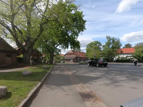
Bio Hofladen Klostergut Dibbesdorf
Farm and orchard · 5.6 km
5 Am Markt
We 10:00-13:00,15:00-18:00; Th 15:00-18:00; Fr 10:00-19:00; Sa 09:00-13:00


Museums and landmarks51



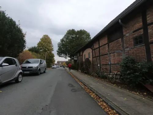


Herrenhaus Essenrode
Monument and historic site · 5.4 km
6 Schloßstraße, Lehre

Natur Erlebnis Zentrum Hondelage
Monument and historic site · 4.9 km
5C In den Heistern, Braunschweig

Wasserschloss Wendhausen
Monument and historic site · 2.6 km
19 Hauptstraße, Lehre
Ehemaliger MW-Sender Braunschweig (DLF)
Monument and historic site · 5.5 km
39 more on the map.
Parks, trails and playgrounds19



Landschaftsschutzgebiet "Schandelaher Wohld und Pfeifengraswiese Wohld"
Hiking and trails · 4.2 km




7 more on the map.
Restaurants and cafes57

Sportheim "La Dolce Vita"
Restaurant · Italian · 6.6 km
14 Kleiberg, Cremlingen
Tu-Fr 17:00-22:00; Sa-Su 11:30-14:00, 17:00-22:00
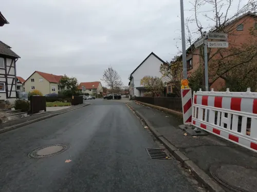
Café Gedoens
Cafe · Waffeln, Cake, Kaffee, Herzhafte Snacks, Erfrischungen · 7.0 km
15 Dorfplatz, Cremlingen
We-Fr 09:00-17:00
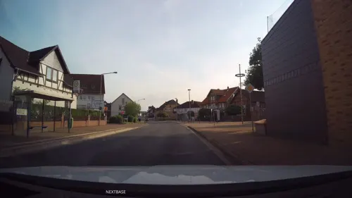
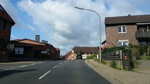
Gaststätte Lüddecke
Restaurant · German · 4.1 km
2 Bäckerstraße, Cremlingen
Mo-Tu off; We-Fr 17:00-23:00; Sa-Su 12:00-15:00,17:00-24:00
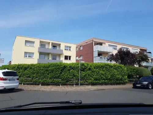
La Casa Pizzeria und Eiscafe
Restaurant · Pizza, Italian · 4.8 km
13 Buchenweg, Braunschweig
Tu-Su 12:00-20:00
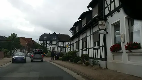
Restaurant Lindenhof Flechtorf
Restaurant · Regional, Seasonal, German · 4.2 km
29 Alte Berliner Straße, Lehre
We-Fr 18:00-22:00; Sa-Su 11:30-14:00, 18:00-22:00
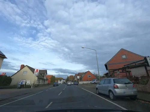
Wolfs Gasthaus
Restaurant · German · 6.6 km
9a Berliner Heerstraße, Braunschweig
Th-Sa 17:00-24:00; Su 12:00-14:30,17:30-24:00



45 more on the map.
History
In 1934, construction began on the Army Ammunition Institute in the Kampstüh Forest 2.4 km (1.5 mi) east Lehre. More than 100 buildings on 225 hectares (556 acres) were constructed and was connected to the railway system. The Institute produced ammunition for infantry weapons, anti-tank mines, tank shells, artillery guns and .38 cm. Up until February 1945, 6,000 tons of chemical weapons were transported to the institute. It was not bombed during World War II and up until the end war, most of these weapons remained on site. In 1945, the location also housed Russian prisoners of war. On 11 April 1945, the area was liberated by the United States' 5th Armored Division and the Army Ammunition Institute was occupied without a fight. In mid 1945, the area was handed over to British troops who had a local presence until 1951. Today, many original buildings still remain standing and some are still in use.
From the History section of Lehre on Wikipedia, under CC BY-SA 4.0.
Where to stay5
Churches and places of worship25
Shopping15
Gas and EV charging11
Schools, colleges and libraries18
Healthcare6
Neue Apotheke Volkmarode
Clinic and pharmacy · 6.6 km
49 Berliner Heerstraße, Braunschweig
Map of Lehre
218 places. The map loads OpenStreetMap tiles when you open it.
Getting there and nearby towns
Forschungsflughafen Braunschweig-Wolfsburg (BWE) is the nearest airport with scheduled flights listed in OpenStreetMap, 8 km away.
- Braunschweig 12 km southwest, about 12 min by car
- Wolfsburg 13 km northeast, about 13 min by car
- Wendeburg 19 km west, about 19 min by car
- Wolfenbüttel 20 km southwest, about 20 min by car
- Sassenburg 21 km north, about 21 min by car
- Vechelde 22 km west, about 22 min by car
- Salzgitter 26 km southwest, about 26 min by car
- Lengede 28 km southwest, about 28 min by car
- Peine 29 km west, about 29 min by car
- Schöningen 29 km southeast, about 29 min by car
Drive times are estimates from straight-line distance, not routes.
Local news
Headlines from INDB.
Reviews, tips and questions
Loading what members have shared...
Sources and licences
- GeoNames (CC BY 4.0): population, coordinates, regions and time zone
- Mapillary (see each image): photos
- OpenStreetMap contributors (ODbL 1.0): places, airports, map data
- Wikidata (CC0 1.0): elevation, founding date, time zone, website, landmarks and historic places
- Wikimedia Commons (see each image): photos
- Wikipedia (CC BY-SA 4.0): overview and history text
Photo credits
- Lehre Kirche 2020a, Kirchenfan, CC0
- Lehre Rote Bank, TeWeBs, CC BY-SA 4.0
- Lehre Kirche 2020, Kirchenfan, CC0
- Lehre Zum Heiligen Kreuz, TeWeBs, CC BY-SA 4.0
- Lehre Kriegsdenkmal, TeWeBs, CC BY-SA 4.0
- TeichgrabenLehre 20260321 01, Okernick, CC BY-SA 4.0
- TeichgrabenLehre 20260321 02, Okernick, CC BY-SA 4.0
- TeichgrabenLehre 20260321 03, Okernick, CC BY-SA 4.0
- Weddeler Schleife - Bauvorbereitung bei Lehre, 27. Juli 2021, Nin-TD, CC BY-SA 4.0
- Tierpark Essehehof Eingang, J.Brodhagen, CC BY-SA 3.0
- Wolfsburg Stephanus, Kirchenfan, CC0
- Lehre Kirche, Kirchenfan, CC0
- Burg Campen Fachwerk, Benutzer:AxelHH, Public domain
- Wendhausen Schloss Westen, AxelHH at de.wikipedia, Public domain
- Essenrode Schloss, Axel Hindemith, Public domain
- Weddeler Teich CB003, Donkey shot (Christof Bobzin), CC BY-SA 3.0
- Cremlingen Transmitter main masts, Zonk43, Public domain
- WohldTeichgraben202507 783, Okernick, CC0
- Schandelah Kirche (02), Reise Reise, CC BY-SA 4.0
- Flechtorf Kirche, Kirchenfan, CC0
- Essenrode Kirche, Vanellus Foto, CC BY-SA 3.0
- BS Volkmarode St Thomas 2, TeWeBs, CC BY-SA 4.0
- Weddel Kirche, Radler59, CC BY-SA 3.0
- Schandelah Sportheim (02), Reise Reise, CC BY-SA 4.0
- BS St Johannes Kirche, TeWeBs, CC BY-SA 4.0
- Weddel Kirche Bonifatius, Kirchenfan, CC0
- Wendhausen Kirche St. Martin, Kirchenfan, CC0
- Rundfunksendestelle Cremlingen-Abbenrode, Pavl90, CC BY-SA 3.0
- Borwall 1879, Benutzer:AxelHH, Public domain
- Gedenkstein mit Gedenktafel, Psmr, CC BY-SA 4.0
- Beienroder Holz A 39 Brücke, Axel Hindemith, CC BY-SA 3.0
- Informationstafel des DBU, Tetraeder, CC BY-SA 4.0
- SchunterTeichgraben 20260321 01, Okernick, CC BY-SA 4.0
- Street-level photo, Schmarvis, CC BY-SA 4.0
- Street-level photo, tian, CC BY-SA 4.0
- Street-level photo, tian, CC BY-SA 4.0
- Street-level photo, tian, CC BY-SA 4.0
- Street-level photo, tian, CC BY-SA 4.0
- Street-level photo, tian, CC BY-SA 4.0
- Street-level photo, hawkar, CC BY-SA 4.0
- Street-level photo, bvblers, CC BY-SA 4.0
- Street-level photo, u14183, CC BY-SA 4.0
- Street-level photo, tian, CC BY-SA 4.0
- Street-level photo, natebus, CC BY-SA 4.0
- Street-level photo, u14183, CC BY-SA 4.0
- Street-level photo, u14183, CC BY-SA 4.0
- Street-level photo, live, CC BY-SA 4.0
- Street-level photo, u14183, CC BY-SA 4.0
- Street-level photo, natebus, CC BY-SA 4.0
- Street-level photo, natebus, CC BY-SA 4.0
- Street-level photo, natebus, CC BY-SA 4.0
- Street-level photo, tian, CC BY-SA 4.0
- Street-level photo, bvblers, CC BY-SA 4.0
- Street-level photo, ankeric, CC BY-SA 4.0
- Street-level photo, u14183, CC BY-SA 4.0
- Street-level photo, bvblers, CC BY-SA 4.0
- Street-level photo, u14183, CC BY-SA 4.0
- Street-level photo, tian, CC BY-SA 4.0
- Street-level photo, Schmarvis, CC BY-SA 4.0
- Street-level photo, ankeric, CC BY-SA 4.0


Page built November 8, 2026. Spotted a mistake? Tell us or suggest a place.