


Why visit Lengede
Townapedia lists 14 museums and landmarks, 36 parks and trails, 48 places to eat, 3 places to stay and 2 attractions in and around town.
Highlights include Seilbahnberg, Salder House, Wasserturm and Lengeder Teiche.
Weather in Lengede
Forecast from MET Norway (CC BY 4.0). Full forecast
About Lengede
Lengede (German pronunciation: [ˈlɛŋədə]) is a municipality in the district of Peine, in Lower Saxony, Germany, some 18 kilometers southwest of Braunschweig and 40 kilometers southeast of Hanover. It became known to the world in 1963 because of a mining disaster and the subsequent rescue operation of eleven surviving miners, which became known as the "Wunder von Lengede" ("Miracle of Lengede").
From the Wikipedia article Lengede (this version), under CC BY-SA 4.0.
Things to do2


Museums and landmarks14



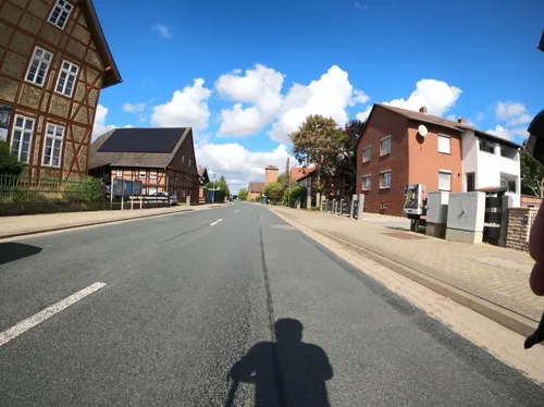


2 more on the map.
Parks, trails and playgrounds36

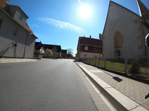




24 more on the map.
Restaurants and cafes48

Beast Pizza Lengede
Restaurant · Italian
20 Gärtlingsweg, Lengede
Mo-Fr 11:00-22:00; Sa,Su 11:30-22:00
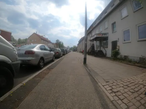
China Garden
Restaurant · Chinese · 5.2 km
144 Berliner Straße, Salzgitter
Mo-Su 11:30-15:00,17:30-23:00
Restaurant Athen
Restaurant · Greek · 1.6 km
97 Vallstedter Weg, Lengede
Tu-Th 17:00-22:00; Fr,Sa 12:00-14:30,17:00-23:00; Su...
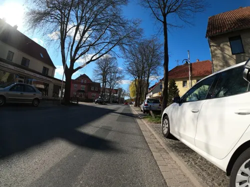

The Barn
Cafe · Cake, Breakfast, Coffee Shop · 5.1 km
1 Im Sinke, Söhlde
We-Fr 14:00-18:00; Sa-Su 10:00-18:00
Café Engelke, Hildesheimer Stadtbäckerei
Cafe · 4.7 km
246 Peiner Straße, Salzgitter
Mo-Su 05:00-18:00
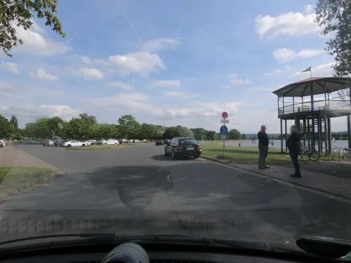

Picco Bello
Restaurant · Italian · 2.2 km
5 Ostenstraße, Lengede
Fr-We 17:00-22:00
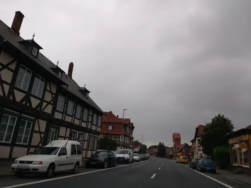
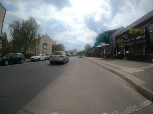
Aladin Hookah Bar
Bar and pub · 5.3 km
121-125 Berliner Straße
Su-Th 14:00-01:00; Fr-Sa 14:00-03:00
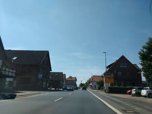


Seidel
Bakery · 5.2 km
61 Bierstraße, Ilsede
Mo-Fr 05:00-18:00; Sa 05:00-12:00; Su 07:30-10:30
36 more on the map.
Where to stay3
Churches and places of worship24
Kulturverein zur Förderung und Integration von Jugendlichen in Salzgitter
Place of worship · Sunni · 4.1 km
Martin-Luther-Kirche
Church · Protestant · 5.0 km
178 Berliner Straße, Salzgitter
Shopping16
Gas and EV charging5
Schools, colleges and libraries17
Healthcare6
Map of Lengede
171 places. The map loads OpenStreetMap tiles when you open it.
Getting there and nearby towns
Forschungsflughafen Braunschweig-Wolfsburg (BWE) is the nearest airport with scheduled flights listed in OpenStreetMap, 21 km away.
- Vechelde 7 km northeast, about 7 min by car
- Salzgitter 9 km southeast, about 9 min by car
- Peine 14 km north, about 14 min by car
- Wendeburg 15 km northeast, about 15 min by car
- Braunschweig 16 km northeast, about 16 min by car
- Wolfenbüttel 17 km east, about 17 min by car
- Bockenem 25 km southwest, about 25 min by car
- Hildesheim 25 km west, about 25 min by car
- Sehnde 26 km northwest, about 26 min by car
- Sarstedt 31 km west, about 31 min by car
Drive times are estimates from straight-line distance, not routes.
Local news
Headlines from INDB.
Reviews, tips and questions
Loading what members have shared...
Sources and licences
- GeoNames (CC BY 4.0): population, coordinates, regions and time zone
- Mapillary (see each image): photos
- OpenStreetMap contributors (ODbL 1.0): places, airports, map data
- Wikidata (CC0 1.0): elevation, founding date, time zone, website, landmarks and historic places
- Wikimedia Commons (see each image): photos
- Wikipedia (CC BY-SA 4.0): overview and history text
Photo credits
- Lengede Seilbahnberg Blick, TeWeBs, CC BY-SA 3.0
- Schachttafel Anna Lengede, Markscheider, CC BY-SA 3.0
- Schachttafel Mathilde Lengede, Markscheider, CC BY-SA 3.0
- Lengede Rathaus, Clemensfranz, CC BY-SA 3.0
- Lengede - panoramio, Anka D., CC BY 3.0
- Lengede Stellwerk, TeWeBs, CC BY-SA 4.0
- Lengede alter Bahnhof, TeWeBs, CC BY-SA 4.0
- Lengede Denkmal Grubenunglueck, Clemensfranz, CC BY-SA 3.0
- Lengede Bohrungen, TeWeBs, CC BY-SA 3.0
- Lengede Teiche, TeWeBs, CC BY-SA 3.0
- Lengede Seilscheibe, TeWeBs, CC BY-SA 4.0
- Schloss Salder, Axel Hindemith, Public domain
- Lengede Seilbahnberg, TeWeBs, CC BY-SA 3.0
- Naturschutzgebiet Lengeder Teiche Niedersachsen 11, Pobby81, CC BY-SA 4.0
- Salzgitter-Lebenstedt Kirche Joseph, Kirchenfan, CC0
- Gross Lafferde Wasserturm, Clemensfranz, CC BY-SA 3.0
- Kirche Alvesse (Vechelde), Sebman81, CC BY-SA 3.0
- Salzgitter-Engelnstedt - Kirche Cosmas und Damian, Johamar, CC BY-SA 3.0
- Barbecke Kirche, Markscheider, CC BY-SA 4.0
- Lengede Seilbahnpark Lore, Clemensfranz, CC BY 3.0
- Lengede Marien 2, Kirchenfan, CC0
- Hyperkarbonisierung Monster-Bierschaum, JoergWoelk, CC0
- Typisch Hannöversch Roggen Bier, JoergWoelk, CC0
- Typisch Hannöversch Roggen Flasche einzeln, JoergWoelk, CC0
- HornyBetty, JoergWoelk, CC BY-SA 3.0 de
- Street-level photo, Langfahrer, CC BY-SA 4.0
- Street-level photo, Langfahrer, CC BY-SA 4.0
- Street-level photo, Langfahrer, CC BY-SA 4.0
- Street-level photo, Langfahrer, CC BY-SA 4.0
- Street-level photo, u14183, CC BY-SA 4.0
- Street-level photo, skjall, CC BY-SA 4.0
- Street-level photo, Langfahrer, CC BY-SA 4.0
- Street-level photo, Langfahrer, CC BY-SA 4.0
- Street-level photo, thetornado76, CC BY-SA 4.0
- Street-level photo, u14183, CC BY-SA 4.0
- Street-level photo, thetornado76, CC BY-SA 4.0
- Street-level photo, Langfahrer, CC BY-SA 4.0
- Street-level photo, Langfahrer, CC BY-SA 4.0
- Street-level photo, Langfahrer, CC BY-SA 4.0
- Street-level photo, skjall, CC BY-SA 4.0
- Street-level photo, skjall, CC BY-SA 4.0
- Street-level photo, u14183, CC BY-SA 4.0
- Street-level photo, Langfahrer, CC BY-SA 4.0
- Street-level photo, Langfahrer, CC BY-SA 4.0
- Street-level photo, thetornado76, CC BY-SA 4.0
- Street-level photo, u14183, CC BY-SA 4.0


Page built November 8, 2026. Spotted a mistake? Tell us or suggest a place.