


Maxhütte-Haidhof, Germany
Maxhütte-Haidhof is a town of 10,674 people in Bavaria, Germany.
Why visit Maxhütte-Haidhof
Townapedia lists 54 museums and landmarks, 12 parks and trails, 59 places to eat, 7 places to stay and 21 attractions in and around town.
Highlights include Starmexx, Spargelhof Weilhammer, Burg Lengenfeld and St.W..
Weather in Maxhütte-Haidhof
Forecast from MET Norway (CC BY 4.0). Full forecast
About Maxhütte-Haidhof
Maxhütte-Haidhof (German: [ˈmaksˌhʏtə ˈhaɪthoːf] ) is a municipality in the district of Schwandorf, in Bavaria, Germany. It is situated 21 km north of Regensburg.
From the Wikipedia article Maxhütte-Haidhof (this version), under CC BY-SA 4.0.
Things to do21
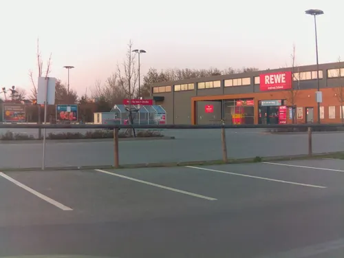



9 more on the map.
Museums and landmarks54





42 more on the map.
Parks, trails and playgrounds12



Restaurants and cafes59

Burger Kitchen Burglengenfeld
Restaurant · Burger · 3.5 km
54 Im Naabtalpark
Tu-Sa 17:00-22:00; Su 17:00-21:00
Bella Italia
Restaurant · Italian · 1.0 km
34 Teublitzer Straße, Maxhütte-Haidhof
Tu-Su 11:00-14:00, 17:00-22:00

Cafe Muckefuck
Cafe · Coffee Shop · 2.4 km
6 Schloßplatz, Maxhütte-Haidhof
Mo off; Tu-Fr 08:00-18:00, Sa 09:00-13:00, Su 09:00-18:00
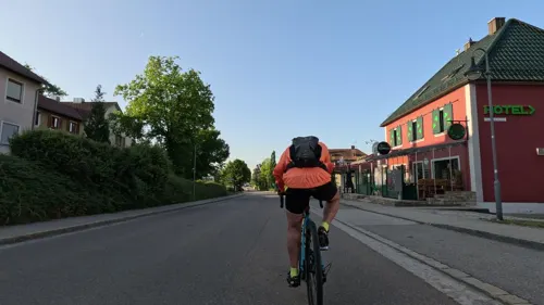
Peter's Cottage Irish Pub
Bar and pub
40 Regensburger Straße, Maxhütte-Haidhof
Th-Sa 19:00-01:00, Su 06:30-07:30


VENETO-Gelato Caffé
Ice cream
1 Bahnhofstraße, Maxhütte-Haidhof
Mo-Sa 13:00-20:00, Su 12:00-20:00
47 more on the map.
Where to stay7
Stadthotel Maxhütte-Haidhof
Motel and hotel
42 Regensburger Straße, Maxhütte-Haidhof
Churches and places of worship22
Christuskirche
Church · Lutheran · 3.8 km
12 Christoph-Willibald-Gluck-Straße, Burglengenfeld
Mariä Heimsuchung
Church · Roman Catholic · 2.7 km
3 Rötlsteinstraße, Teublitz
Pfarrkirche Sankt Vitus
Church · Catholic · 3.8 km
17 Kirchenstraße, Burglengenfeld
Shopping22
Gas and EV charging10
Schools, colleges and libraries11
Healthcare7
Map of Maxhütte-Haidhof
225 places. The map loads OpenStreetMap tiles when you open it.
Getting there and nearby towns
Flugplatz Straubing-Wallmühle (RBM) is the nearest airport with scheduled flights listed in OpenStreetMap, 45 km away.
- Regenstauf 9 km south, about 9 min by car
- Regensburg 21 km south, about 21 min by car
- Neutraubling 25 km south, about 25 min by car
- Roding 31 km east, about 31 min by car
- Sulzbach-Rosenberg 42 km northwest, about 42 min by car
- Neumarkt in der Oberpfalz 47 km west, about 47 min by car
- Straubing 50 km southeast, about 50 min by car
- Neustadt an der Donau 50 km southwest, about 50 min by car
- Ingolstadt 69 km southwest, about 1 h 15 min by car
- Nuremberg 79 km west, about 1 h 15 min by car
Drive times are estimates from straight-line distance, not routes.
Local news
Headlines from INDB.
Reviews, tips and questions
Loading what members have shared...
Sources and licences
- GeoNames (CC BY 4.0): population, coordinates, regions and time zone
- Mapillary (see each image): photos
- OpenStreetMap contributors (ODbL 1.0): places, airports, map data
- Wikidata (CC0 1.0): elevation, founding date, time zone, website
- Wikimedia Commons (see each image): photos
- Wikipedia (CC BY-SA 4.0): overview and history text
Photo credits
- Maxhütte-Haidhof 2012 02, A. Köppl, CC BY 3.0
- Aerial image of the Burg Burglengenfeld (view from the southwest), Carsten Steger, CC BY-SA 4.0
- Schloss-Muenchshofen, Msuess, CC BY-SA 3.0
- Altes Schloss Maxhuette-Haidhof Leonberg, Rainer Strobel, CC BY-SA 3.0
- Schloss Pirkensee 02, Helmlechner, CC0
- Evangelische Kirche Maxhuette, Rascal84, CC BY-SA 3.0
- St. Bararbara - alte Pfarrkirche Maxhütte-Haidhof -001, DALIBRI, CC BY-SA 4.0
- Leonberg (Maxhütte-Haidhof), St. Leonhard (03), Subbass1, CC BY-SA 4.0
- Kreuzbergkirche Burglengenfeld, Uwe Kohlmaier, CC BY-SA 3.0
- Stadtpfarrkirche St. Vitus, Richard Huber, CC BY-SA 3.0
- Pfarrkirche Herz Jesu (Teublitz), luckyprof, CC BY-SA 3.0
- Pfarrkirche St. Martin (Premberg)-3, luckyprof, CC BY-SA 3.0
- Kath. Pfarrkirche Mariä Heimsuchung (Saltendorf), luckyprof, CC BY-SA 3.0
- StJosefBurglengenfeld, MattHumperdinck, CC BY-SA 4.0
- Pirkensee, Christ König (02), Subbass1, CC BY-SA 4.0
- Burg Burglengenfeld, Matthias Süß, CC BY-SA 3.0
- Schloss Pirkensee 05, Helmlechner, CC0
- Friedhofkapelle St. Anna (Burglengenfeld), Kd6=dra, CC0
- 2023 Münchshofen, Alois Köppl, Gleiritsch, CC BY 3.0
- Schloss Pirkensee 01, Helmlechner, CC0
- Pfarrkirche St. Martin (Premberg), luckyprof, CC BY-SA 3.0
- Rathaus Maxhütte renov, Rascal84, CC BY-SA 3.0 de
- ISS042-E-189482 - View of Earth, Earth Science and Remote Sensing Unit , Lyndon B. Johnson Space Center, Public domain
- ISS043-E-89169 - View of Earth, Earth Science and Remote Sensing Unit , Lyndon B. Johnson Space Center, Public domain
- ISS023-E-9752 - View of Germany, Earth Science and Remote Sensing Unit , Lyndon B. Johnson Space Center, Public domain
- ISS042-E-189481 - View of Earth, Earth Science and Remote Sensing Unit , Lyndon B. Johnson Space Center, Public domain
- ISS043-E-89168 - View of Earth, Earth Science and Remote Sensing Unit , Lyndon B. Johnson Space Center, Public domain
- ISS030-E-201601 - View of Earth, Earth Science and Remote Sensing Unit , Lyndon B. Johnson Space Center, Public domain
- ISS023-E-56570 - View of Germany, Earth Science and Remote Sensing Unit , Lyndon B. Johnson Space Center, Public domain
- ISS067-E-126133 - View of Earth, Earth Science and Remote Sensing Unit , Lyndon B. Johnson Space Center, Public domain
- 20220428 082745 Hans-Joachim Mascheck, TUDresdenAerodynamik, CC BY-SA 4.0
- BfMaxhütteHaidhofVorplatz, Global Fish, CC BY-SA 3.0
- BfMaxhütteHaidhofNW, Global Fish, CC BY-SA 3.0
- BfMaxhütteHaidhofWarteraum, Global Fish, CC BY-SA 3.0
- Dr Johannes Mascheck Oderwitz, Oderwitzer, CC BY-SA 4.0
- Oskar Mascheck, Oderwitzer, CC BY-SA 4.0
- Street-level photo, ramap, CC BY-SA 4.0
- Street-level photo, rnissl, CC BY-SA 4.0
- Street-level photo, webfarben, CC BY-SA 4.0
- Street-level photo, ramap, CC BY-SA 4.0
- Street-level photo, rnissl, CC BY-SA 4.0
- Street-level photo, rnissl, CC BY-SA 4.0
- Street-level photo, rnissl, CC BY-SA 4.0
- Street-level photo, rnissl, CC BY-SA 4.0
- Street-level photo, rnissl, CC BY-SA 4.0
- Street-level photo, webfarben, CC BY-SA 4.0


Page built November 8, 2026. Spotted a mistake? Tell us or suggest a place.