


Why visit Meitingen
Townapedia lists 14 museums and landmarks, 11 parks and trails, 42 places to eat, 2 places to stay and 3 attractions in and around town.
Highlights include Cineplex Meitingen, Hofladen beim Schukarle, Kloster Thierhaupten and Klostermühlenmuseum Thierhaupten.
Weather in Meitingen
Forecast from MET Norway (CC BY 4.0). Full forecast
About Meitingen
Meitingen (German pronunciation: [ˈmaɪtɪŋən]) is a market town in the district of Augsburg, in Bavaria, Germany. It is situated on the left bank of the Lech, 20 km (12 mi) south of Donauwörth, and 21 km (13 mi) north of Augsburg.
From the Wikipedia article Meitingen (this version), under CC BY-SA 4.0.
Things to do3

Cineplex Meitingen
Cinema and theater · 1.2 km
53 Donauwörther Straße, Meitingen
Mo-Fr 14:00+; Sa,Su 10:00+

Hofladen beim Schukarle
Farm and orchard · 2.9 km
32 Riedstraße, Westendorf
Mo-Sa 08:00-12:30; Tu,Th,Fr 14:00-18:00
Hoflädle Deisenhofer
Farm and orchard · 1.9 km
10 Mühlstraße, Meitingen
Mo-Sa 09:00-16:00; PH off
Museums and landmarks14


Kraftwerk Meitingen
Monument and historic site · 1.0 km
46 Bernhard-Monath-Straße, Meitingen


Christkönigs-Institut
Monument and historic site · Catholic
14 St.-Wolfgang-Straße, Meitingen


Burgstall Bach (Todtenweis)
Monument and historic site · 4.9 km
Hochmittelalterlicher Burgstall


2 more on the map.
Parks, trails and playgrounds11

Sun Splash
Sports field and stadium · 0.9 km
56 Hauptstraße, Meitingen
Mo-Fr 10:00-20:00, Sa-Su 09:00-20:00



Lehrgarten Thierhaupten
Park · 4.5 km
Vom Markt Thierhaupten bewirtschafteter Garten, der von der Schule als Lehrgarten verwendet wird. Öffentlich zugänglich mit Sitzmöglichkeiten.



Restaurants and cafes42
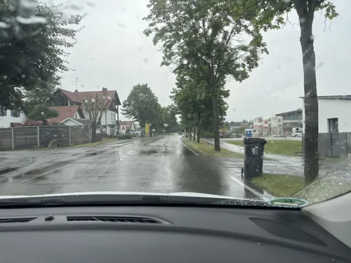
Abt Restaurant - Bar - Cafe
Restaurant · Barbecue, Steak House, Regional, Pizza, Burger · 4.9 km
14 Baarer Straße, Thierhaupten
Tu,We,Th 17:00-23:00; Fr,Sa 17:00-24:00; Su 11:00-14:00,17:00-23:00; Mo off

Dai 3 Ragazzi
Restaurant · Italian, Pizza · 1.1 km
45 Donauwörther Straße, Meitingen
Mo-Fr 11:00-14:00,17:00-22:00; Sa,Su,PH 11:00-22:00; We off
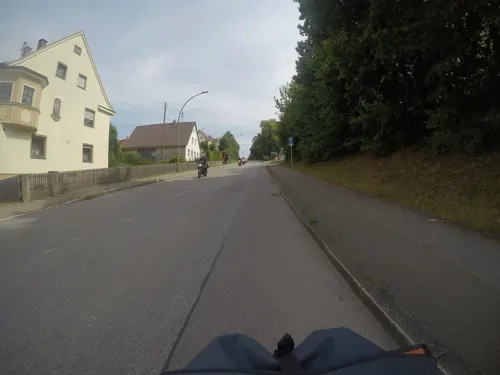
Edith's Bioladen & Café
Cafe · Regional · 4.3 km
Grünes. Gutes. Gesundes. | Der kleine feine Bioladen mit Café
10 1/2 Am Kirchberg, Biberbach
Th-Sa 08:00-18:00
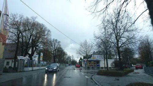
Gasthaus "Neue Post" Meitingen
Restaurant · German
31 Hauptstraße, Meitingen
Tu-Sa 17:00-21:30; Su 11:00-21:00
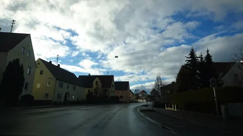
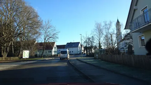
Gasthof Schmidbaur Zur Krone
Restaurant · Regional · 3.3 km
38 Hauptstraße, Westendorf
We-Sa 11:00-14:00, 17:00-23:00; Su 11:00-23:00
Kreta
Restaurant · Greek · 0.6 km
12 Ratiborer Straße, Meitingen
Tu-Th 17:00-23:30, Fr-Su 11:30-14:00,17:00-23:30
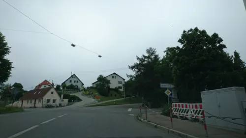
Bäckerei Liepert
Bakery · 4.4 km
11 Hauptstraße, Biberbach
Mo-We 06:30-12:30; Th-Fr 06:30-12:30,14:00-18:00; Sa 06:30-12:00
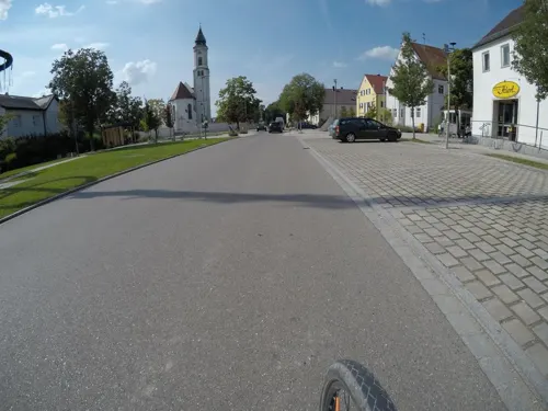
Bäckerei Liepert Filiale Westendorf
Bakery · 3.3 km
26 Hauptstraße, Westendorf
Mo-We 05:45-12:30; Th-Fr 05:45-12:30,14:00-18:00; Sa 06:00-12:00
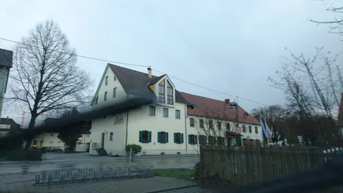


Klosterwirt
Restaurant · Bavarian · 4.7 km
"Herzog Tassilo Stub'n" im Kloster Thierhaupten mit großem Biergarten, Kinderspielplatz, Nebenzimmer und Sonnenterrasse.
8 Klosterberg, Thierhaupten
We-Sa 11:00+; Su 10:00+
30 more on the map.
History
Meitingen was firstly mentioned in a certificate in 1231. Since the German Mediatisation Meitingen belongs to Bavaria in 1803. In 1844 the railroad line Augsburg-Nürnberg arrived Meitingen. The construction of the Lech-channel determined series of flooding caused by the river Lech.
With the construction of the hydro-electric power plant of the Lech-channel the industrialization of Meitingen started. Until 1972 Meitingen was a part of the district of Wertingen but because of local government reforms Erlingen, Herbertshofen, Ostendorf, Langenreichen and Waltershofen became a part of Meitingen. In succession of the growth and the importance for the environs Meitingen became a market town in 1989.
From the History section of Meitingen on Wikipedia, under CC BY-SA 4.0.
Where to stay2
Churches and places of worship14
Sankt Peter und Paul
Church · Roman Catholic · 4.8 km
7 Klosterberg, Thierhaupten
St. Agatha
Church · Roman Catholic · 4.5 km
13 Burgstraße, Nordendorf
St. Georg
Church · Roman Catholic · 3.2 km
37 Hauptstraße, Westendorf
St. Jakobus und Laurentius und Heiliges Kreuz
Church · Catholic · 4.4 km
22 Am Kirchberg, Biberbach
Sieben Schmerzen Mariens
Church · Catholic · 2.2 km
24 Ostendorfer Straße, Meitingen
St. Michael
Church · Roman Catholic · 3.4 km
22 Ortsstraße, Meitingen
St. Nikolaus
Church · Roman Catholic · 4.8 km
61 Wertinger Straße, Meitingen
St. Stephan
Church · Roman Catholic · 4.5 km
15 St.-Stefan-Straße, Meitingen
Shopping14
Gas and EV charging10
Schools, colleges and libraries9
Healthcare4
Map of Meitingen
123 places. The map loads OpenStreetMap tiles when you open it.
Getting there and nearby towns
Flughafen Augsburg (AGB) is the nearest airport with scheduled flights listed in OpenStreetMap, 15 km away.
- Neusäß 17 km south, about 17 min by car
- Augsburg 20 km south, about 20 min by car
- Stadtbergen 20 km south, about 20 min by car
- Schrobenhausen 30 km east, about 30 min by car
- Neuburg an der Donau 32 km northeast, about 32 min by car
- Mering 33 km south, about 33 min by car
- Schwabmünchen 41 km south, about 41 min by car
- Nördlingen 43 km northwest, about 43 min by car
- Giengen an der Brenz 46 km west, about 46 min by car
- Ingolstadt 49 km northeast, about 49 min by car
Drive times are estimates from straight-line distance, not routes.
Local news
Headlines from INDB.
Reviews, tips and questions
Loading what members have shared...
Sources and licences
- GeoNames (CC BY 4.0): population, coordinates, regions and time zone
- Mapillary (see each image): photos
- OpenStreetMap contributors (ODbL 1.0): places, airports, map data
- Wikidata (CC0 1.0): elevation, founding date, time zone, website
- Wikimedia Commons (see each image): photos
- Wikipedia (CC BY-SA 4.0): overview and history text
Photo credits
- Amtshaus Meitingen, Jkü, CC BY-SA 3.0
- Thierhaupten Kloster 77, GFreihalter, CC BY-SA 3.0
- Aindlinger Baggersee, Living-wreck, CC BY-SA 3.0
- Westendorf St. Georg 75, GFreihalter, CC BY-SA 3.0
- Burg Markt 006, DALIBRI, CC BY-SA 4.0
- Biberbach, St Jakobus und Laurentius 001, Mattana, CC BY-SA 3.0
- Ellgauer Speichersee 4 - 2 von 5, AntonSieben, CC BY-SA 4.0
- DEU Meitingen, St. Wolfgang 0002, -wuppertaler, CC BY 4.0
- Bildstockkapelle Langweid, Jkü, CC BY-SA 3.0
- Herbertshofen Kirche Süd, Jkü, CC BY-SA 3.0
- Friedhofskapelle St. Stephan Langenreichen, Jkü, CC BY-SA 3.0
- Langenreichen St. Nikolaus 070, GFreihalter, CC BY-SA 3.0
- St. Michael Ostendorf, Jkü, CC BY-SA 3.0
- Kapelle Sieben Schmerzen Mariae Waltershofen, Jkü, CC BY-SA 3.0
- St. Agatha Nordendorf-Blankenburg, Jkü, CC BY-SA 3.0
- Schloßkapelle St. Johannes der Täufer, Jkü, CC BY-SA 3.0
- Mühle Thierhaupten 01, Jkü, CC BY-SA 3.0
- St. Peter und Paul (Thierhaupten), Neitram, CC BY-SA 4.0
- Kraftwerk Meitingen01, Jkü, CC BY-SA 3.0
- Stolperstein für Michael Lerpscher (Meitingen), Christian Michelides, CC BY-SA 4.0
- Stolperstein für Dr. Max Josef Metzger (Meitingen), Christian Michelides, CC BY-SA 4.0
- Stolperstein für Josef Ruf (Meitingen), Christian Michelides, CC BY-SA 4.0
- Lechaue westlich Todtenweis 10, Neitram, CC BY-SA 4.0
- Lechauen bei Thierhaupten 03, Neitram, CC BY-SA 4.0
- Thierhaupten St. Peter und Paul 80, GFreihalter, CC BY-SA 3.0
- Kloster Thierhaupten, Neitram, CC BY-SA 4.0
- Gedenktafel Willdenowstr 8 (Wedd) Max Josef Metzger, OTFW , Berlin, CC BY-SA 3.0
- Biberbach St. Jakobus und Laurentius 079, GFreihalter, CC BY-SA 3.0
- Street-level photo, msdess, CC BY-SA 4.0
- Street-level photo, msdess, CC BY-SA 4.0
- Street-level photo, msdess, CC BY-SA 4.0
- Street-level photo, mfa, CC BY-SA 4.0
- Street-level photo, eisbzs, CC BY-SA 4.0
- Street-level photo, eisbzs, CC BY-SA 4.0
- Street-level photo, msdess, CC BY-SA 4.0
- Street-level photo, mfa, CC BY-SA 4.0
- Street-level photo, msdess, CC BY-SA 4.0
- Street-level photo, riojari, CC BY-SA 4.0
- Street-level photo, riojari, CC BY-SA 4.0
- Street-level photo, teddy73, CC BY-SA 4.0
- Street-level photo, eisbzs, CC BY-SA 4.0
- Street-level photo, eisbzs, CC BY-SA 4.0
- Street-level photo, mfa, CC BY-SA 4.0
- Street-level photo, soulcover, CC BY-SA 4.0
- Street-level photo, riojari, CC BY-SA 4.0
- Street-level photo, eisbzs, CC BY-SA 4.0
- Street-level photo, eisbzs, CC BY-SA 4.0
- Street-level photo, msdess, CC BY-SA 4.0
- Street-level photo, riojari, CC BY-SA 4.0
- Street-level photo, mfa, CC BY-SA 4.0


Page built November 8, 2026. Spotted a mistake? Tell us or suggest a place.