


Why visit Schwabmünchen
Townapedia lists 24 museums and landmarks, 36 parks and trails, 80 places to eat, 6 places to stay and 12 attractions in and around town.
Highlights include Dorfladenbox, Filmhaus Langerringen-Schwabmünchen, Museum und Galerie der Stadt Schwabmünchen and Mutter Maria.
Weather in Schwabmünchen
Forecast from MET Norway (CC BY 4.0). Full forecast
About Schwabmünchen
Schwabmünchen (German pronunciation: [ʃvaːpˈmʏnçn̩] ; Swabian: Mingkchinga) is a town in Bavaria, Germany in the administrative region of Swabia south of Augsburg in the Augsburg district.
From the Wikipedia article Schwabmünchen (this version), under CC BY-SA 4.0.
Things to do12


Geflügelhof Mayr
Farm and orchard · 5.5 km
28 Lindauer Straße, Großaitingen
Tu,Th,Fr 08:30-10:30, 16:30-18:00; Sa 08:00-12:00
Josef Huber - Fleisch- und Wurstspezialitäten
Farm and orchard · 3.0 km
80 Krumbacher Straße, Schwabmünchen


Museums and landmarks24

Museum und Galerie der Stadt Schwabmünchen
Museum
12 Holzheystraße, Schwabmünchen
We 14:00-17:00; Su 10:00-12:00,14:00-17:00




Schloss Guggenberg
Monument and historic site · 5.1 km
1A Guggenberg, Schwabmünchen



Flurneuordnung Dorferneuering Obermeitingen 1959-2009
Monument and historic site · 5.9 km
12 more on the map.
Parks, trails and playgrounds36




24 more on the map.
Restaurants and cafes80

Hotel Deutschenbauer Gaststätte
Restaurant · German
Hotelgaststätte, angenehmes Ambiente
11 Fuggerstraße, Schwabmünchen
Mo-Th,Su 11:30-14:00,18:00-21:00
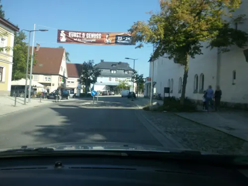
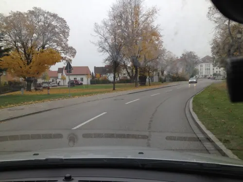
Arjun
Restaurant · Indian · 5.9 km
3 Birkenstraße, Klosterlechfeld
Mo off; Tu-Su 11:30-14:40,17:15-22:00
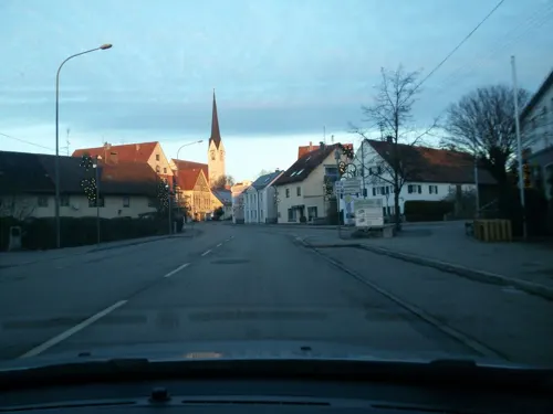
Bäckerei Müller
Bakery
15 Mindelheimer Straße, Schwabmünchen
Mo-Fr 05:30-18:00; Sa 05:30-12:00; Su 08:00-11:00
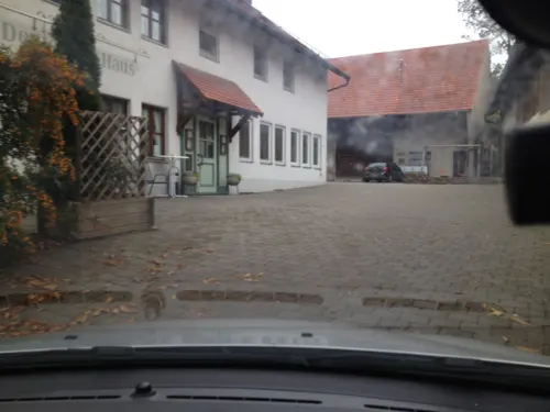
Deutsches Haus Steakhouse
Restaurant · Steak House · 4.2 km
8 Hauptstraße, Langerringen
Tu-Fr 12:00-14:00,17:00-22:00; Sa 17:00-22:00; Su 11:00-14:00,17:00-22:00
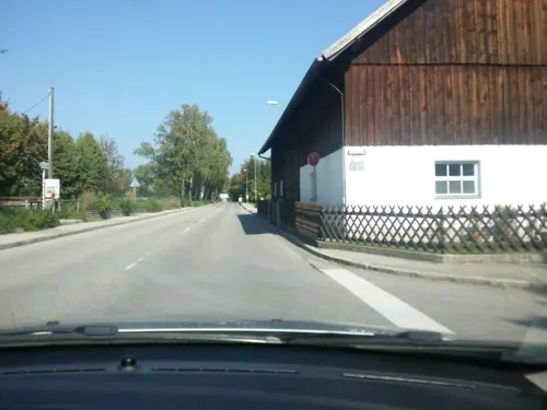
Germar's Best Burger
Restaurant · Burger, Mexican · 0.7 km
59 Riedstraße, Schwabmünchen
Su-Th 11:00-23:00; Fr,Sa 11:00-24:00
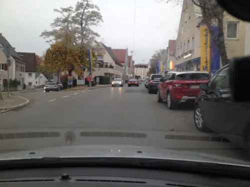
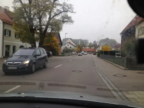
Hellas Taverna
Restaurant · Greek · 4.4 km
23 Lechfelder Straße, Untermeitingen
Mo-Sa 07:00-22:00; Su 11:30-14:30,17:00-22:00

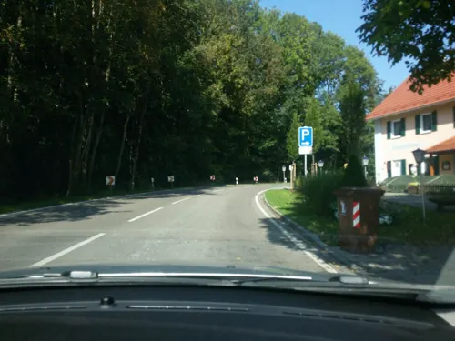


Pizzeria Ercolano
Restaurant · Pizza, Italian · 5.6 km
30 Lagerlechfelder Straße, Untermeitingen
Mo 11:00-14:30,17:00-23:00; Tu off; We-Sa 11:00-14:30,17:00-23:00;...
68 more on the map.
History
Schwabmünchen was first mentioned in writing in 954 as "castellum Mantahinga"
in a biography of Saint Ulrich, Bishop of Augsburg. From archaeological digs in the north of the modern city have come clues of Celtic, Roman and Alamannic peoples dwelling in the area in bygone ages. In 1562, Holy Roman Emperor Ferdinand I raised the community to market town and bestowed upon it a market town's coat of arms. In the years from 1804 to 1806, Schwabmünchen came under Bavarian rule, having formerly belonged to the Prince-Bishopric of Augsburg (Augsburger Hochstift).
On 4 March 1945, late in the Second World War, Schwabmünchen was beset by a heavy air raid, which killed 60 inhabitants. One fourth of the town was utterly destroyed, and two thirds of it was heavily damaged.
After the war, the population rose dramatically owing to the great number of refugees flowing into the town, and in 1953, Schwabmünchen was raised from market town to city. In 1972, the former district of Schwabmünchen was merged with the district of Wertingen to form the current district of Augsburg.
From the History section of Schwabmünchen on Wikipedia, under CC BY-SA 4.0.
Where to stay6
Churches and places of worship37
Frauenkapelle
Church · Roman Catholic · 0.7 km
1 Ulrichsberg, Schwabmünchen
St. Michael
Church · Roman Catholic
4 Ferdinand-Wagner-Straße, Schwabmünchen
Johanneskirche
Church · Protestant · 4.0 km
12 Gualbert-Wälder-Straße, Langerringen
Maria Himmelfahrt
Church · Roman Catholic · 5.1 km
1 Hauptstraße, Schwabmünchen
St. Gallus
Church · Roman Catholic · 4.1 km
18 Hauptstraße, Langerringen
St. Leonhard
Church · Roman Catholic · 3.0 km
41 Augsburger Straße, Hiltenfingen
Shopping26
Gas and EV charging6
V-Markt Automatentankstelle Schwabmünchen
Gas station · 2.2 km
8 Gottlieb-Daimler-Straße, Schwabmünchen
Schools, colleges and libraries17
Landwirtschaftsschule Schwabmünchen – Abteilung Hauswirtschaft
School
2 Feyerabendstraße, Schwabmünchen
Healthcare8
Map of Schwabmünchen
250 places. The map loads OpenStreetMap tiles when you open it.
Getting there and nearby towns
Flughafen Augsburg (AGB) is the nearest airport with scheduled flights listed in OpenStreetMap, 30 km away.
- Stadtbergen 22 km north, about 22 min by car
- Augsburg 24 km northeast, about 24 min by car
- Weißenhorn 46 km west, about 46 min by car
- Starnberg 48 km southeast, about 48 min by car
- Weilheim 48 km southeast, about 48 min by car
- Vöhringen 51 km west, about 51 min by car
- Schrobenhausen 56 km northeast, about 56 min by car
- Wolfratshausen 58 km southeast, about 58 min by car
- Munich 61 km east, about 1 h by car
- Ulm 62 km northwest, about 1 h by car
Drive times are estimates from straight-line distance, not routes.
Local news
Headlines from INDB.
Reviews, tips and questions
Loading what members have shared...
Sources and licences
- GeoNames (CC BY 4.0): population, coordinates, regions and time zone
- Mapillary (see each image): photos
- OpenStreetMap contributors (ODbL 1.0): places, airports, map data
- Wikidata (CC0 1.0): elevation, founding date, time zone, website
- Wikimedia Commons (see each image): photos
- Wikipedia (CC BY-SA 4.0): overview and history text
Photo credits
- Schwabmünchen - MIndelheimer Str, Pfarrkirche v SW, Flodur63, CC BY-SA 3.0
- St. Michael (Schwabmünchen) (02), Ordercrazy, CC0
- St. Michael (Schwabmünchen) (03), Ordercrazy, CC0
- Luitpoldstrasse 6, Schwabmünchen, Ordercrazy, CC0
- Schwabmünchen, Fuggerstraße - panoramio (3), netzgucker, CC BY 3.0
- Schwabmünchen, Fuggerstraße - panoramio (2), netzgucker, CC BY 3.0
- Schwabmünchen, Färbergasse - panoramio, netzgucker, CC BY 3.0
- St. Michael (Schwabmünchen) (04), Ordercrazy, CC0
- Schrannenplatz 1, Schwabmünchen (02), Ordercrazy, CC0
- Epitaph Schwabmünchen (04), Ordercrazy, CC0
- Epitaph Schwabmünchen (05), Ordercrazy, CC0
- Epitaph Schwabmünchen (02), Ordercrazy, CC0
- Epitaph Schwabmünchen (03), Ordercrazy, CC0
- Epitaph Schwabmünchen, Ordercrazy, CC0
- St. Michael (Schwabmünchen) (05), Ordercrazy, CC0
- Luitpoldstrasse 14, Schwabmünchen, Ordercrazy, CC0
- Schrannenplatz 1, Schwabmünchen, Ordercrazy, CC0
- Schwabmünchen, Fuggerstraße - panoramio (1), netzgucker, CC BY 3.0
- Schwabmünchen, Fuggerstraße - panoramio (4), netzgucker, CC BY 3.0
- Singold an der Bleichergasse, Schwabmünchen, Ordercrazy, CC0
- Singold Schwabmünchen (04), Ordercrazy, CC0
- Singold Schwabmünchen (03), Ordercrazy, CC0
- Kindergarten Schwabmünchen (02), Ordercrazy, CC0
- St. Michael Schwabmünchen, Ordercrazy, CC0
- Museumstrasse 4, Schwabmünchen, Ordercrazy, CC0
- Ortskapelle Aletshofen, Ordercrazy, CC0
- Haldenburg Hauptwall, Dark Avenger at German Wikipedia, Public domain
- Schwabmünchen - Schloss Guggenberg v O 02, Flodur63, CC BY-SA 4.0
- Obermeitingen3, Richard Mayer, CC BY-SA 3.0
- Katholische Kapelle St. Leonhard, My view, CC BY-SA 4.0
- Langerringen - Johanneskirche v SO, Flodur63, CC BY-SA 3.0
- Langerringen - Hauptstraße 18 - St Gallus 1, Michael Hack, CC BY-SA 3.0 de
- Schwabegg - Mariae Himmelfahrt 1, Michael Hack, CC BY-SA 3.0 de
- Kriegerdenkmal Schwabmünchen, Ordercrazy, CC0
- Evang.-Luth. Christuskirche-2, My view, CC BY-SA 4.0
- Schwabmünchen - Kapelle Unserer Lieben Frau v NO, Flodur63, CC BY-SA 3.0
- Bildstock (Untermeitingen) 01, Kd6=dra, CC0
- Museum und Galerie der Stadt Schwabmünchen - Nordfassade, Schwabmünchenkultur, CC BY 3.0
- Mittelstetten - Dorfstraße 46 - St Magnus 1, Michael Hack, CC BY-SA 3.0 de
- St. Martin (Lagerlechfeld) 01, Jkü, CC BY 4.0
- Burghofweiher bei Langerringen 02, Santo233, CC BY-SA 4.0
- Ehemaliger Zehentstadel, jetzt evangelisch-lutherische Dietrich-Bonhoeffer-Kirche in Großaitingen, Veith Rühling, CC BY-SA 4.0
- Bildstockkapelle Wiesherrgottle, Jkü, CC BY 4.0
- Street-level photo, ottokar, CC BY-SA 4.0
- Street-level photo, ottokar, CC BY-SA 4.0
- Street-level photo, ottokar, CC BY-SA 4.0
- Street-level photo, ottokar, CC BY-SA 4.0
- Street-level photo, ottokar, CC BY-SA 4.0
- Street-level photo, ottokar, CC BY-SA 4.0
- Street-level photo, ottokar, CC BY-SA 4.0
- Street-level photo, ottokar, CC BY-SA 4.0
- Street-level photo, ottokar, CC BY-SA 4.0
- Street-level photo, ottokar, CC BY-SA 4.0
- Street-level photo, ottokar, CC BY-SA 4.0
- Street-level photo, ottokar, CC BY-SA 4.0
- Street-level photo, ottokar, CC BY-SA 4.0
- Street-level photo, ottokar, CC BY-SA 4.0
- Street-level photo, ottokar, CC BY-SA 4.0
- Street-level photo, ottokar, CC BY-SA 4.0
- Street-level photo, ottokar, CC BY-SA 4.0
- Street-level photo, ottokar, CC BY-SA 4.0
- Street-level photo, ottokar, CC BY-SA 4.0
- Street-level photo, ottokar, CC BY-SA 4.0
- Street-level photo, ottokar, CC BY-SA 4.0
- Street-level photo, ottokar, CC BY-SA 4.0
- Street-level photo, ottokar, CC BY-SA 4.0
- Street-level photo, ottokar, CC BY-SA 4.0
- Street-level photo, ottokar, CC BY-SA 4.0
- Street-level photo, ottokar, CC BY-SA 4.0
- Street-level photo, bitnapper, CC BY-SA 4.0
- Street-level photo, bitnapper, CC BY-SA 4.0
- Street-level photo, ottokar, CC BY-SA 4.0


Page built November 8, 2026. Spotted a mistake? Tell us or suggest a place.