
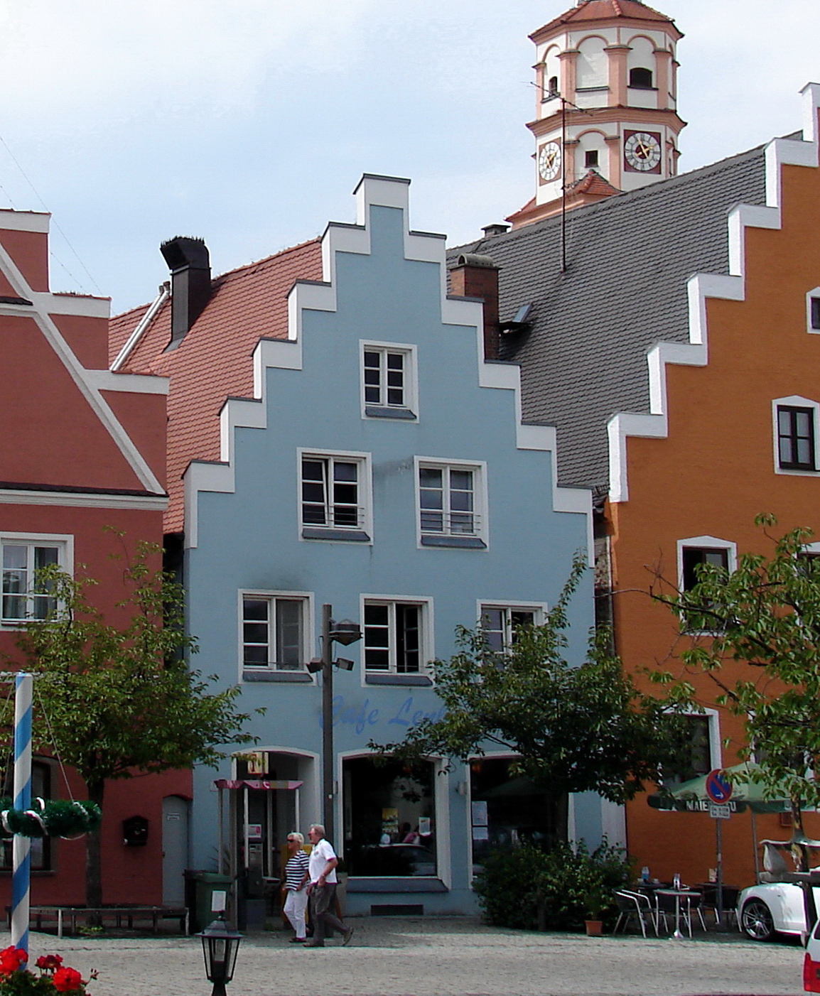


Why visit Schrobenhausen
Townapedia lists 14 museums and landmarks, 5 parks and trails, 72 places to eat, 11 places to stay and 6 attractions in and around town.
Highlights include Herzog Filmtheater, Hofladen Meßner, Lenbachmuseum and Museum im Pflegschloss.
Weather in Schrobenhausen
Forecast from MET Norway (CC BY 4.0). Full forecast
About Schrobenhausen
Schrobenhausen (German pronunciation: [ʃʁoːbn̩ˈhaʊzn̩] ; Central Bavarian: Schrobenhausn) is a town in the district of Neuburg-Schrobenhausen in Bavaria, Germany. It is situated on the River Paar approx. 25 kilometres (16 miles) south-west of Ingolstadt and 35 kilometres (22 miles) north-east of Augsburg.
From the Wikipedia article Schrobenhausen (this version), under CC BY-SA 4.0.
Things to do6


Hofladen Meßner
Farm and orchard · 5.3 km
8 Sommerfeldstraße, Schrobenhausen
Mo-Su 08:00-19:00; Apr-Sep Mo-Su 08:00-20:30
Milchtankstelle Fam. Dietenhauser
Farm and orchard · 5.3 km
6 Sommerfeldstraße, Schrobenhausen
24/7
Hofladen Fam. Festl
Farm and orchard · 5.1 km
13 Sommerfeldstraße, Schrobenhausen

Museums and landmarks14


Pfarrhof
Monument and historic site · 5.4 km
4 Michael-Lang-Straße, Schrobenhausen




2 more on the map.
Parks, trails and playgrounds5

Hallenbad Schrobenhausen
Sports field and stadium · 0.7 km
19 Georg-Leinfelder-Straße, Schrobenhausen



Restaurants and cafes72

Asia Wok
Restaurant · Asian
12 Bahnhofstraße, Schrobenhausen
Mo 11:00-14:30,17:00-21:00; Tu off; We-Fr 11:00-14:30,17:00-21:00;...
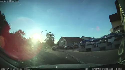
Gasthof Baderwirt
Restaurant · Regional · 6.5 km
1 Schrobenhausener Straße, Langenmosen
Mo,Tu off; We,Th,Fr 10:00-14:00,17:00-23:00; Sa,Su 10:00+
Gasthof Neumayr
Restaurant · Bavarian · 7.1 km
9 Obere Ortsstraße, Gachenbach
Mo-Su 10:00-22:00; We off
Ghandi
Restaurant · Indian · 0.6 km
30 Regensburger Straße, Schrobenhausen
Tu-Su 11:30-14:00, 17:30-22:00
Landgasthof Zanker
Restaurant · Regional · 4.7 km
16 Hauptstraße, Gachenbach
PH,Th-Su 11:00-14:00,17:00-22:00
Ristomassimo
Restaurant · Fish, Italian, Mediterranean, Noodle, Pizza · 1.8 km
22 Riederhüttenweg, Schrobenhausen
Mo-Su 11:00-23:00

Backhaus Hackner
Bakery
17 Lenbachstraße, Schrobenhausen
Mo-Fr 06:00-18:00; Sa 06:00-16:00; Su 07:00-17:00
Backhaus Hackner
Bakery · 0.9 km
18 Augsburger Straße, Schrobenhausen
Mo-Fr 07:00-17:00; Sa 07:00-13:00; Su,PH off
Bella Tandoori
Restaurant · Indian, Italian · 2.0 km
Mo-Fr 17:00-22:45; Sa 16:00-22:45; Su,PH 11:00-13:45,16:00-21:45
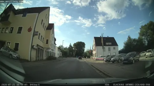


Gasthof Stief
Restaurant · Bavarian · 0.6 km
Mo-Fr 09:00-22:00; Jul-Mar: Sa 09:30-15:00; Jul-Mar: Su...
60 more on the map.
History
Remains of ancient settlements in the area can be traced as far back as the Bronze Age.
The name “Scropinhusen” appeared for the first time in church books around the year 790 AD.
In the 10th century, the small settlement was devastated during the Hungarian invasions and was not mentioned in any documents for more than 100 years. The town was once again completely destroyed in a war in 1388.
Due to its location on the important road between the imperial cities of Augsburg and Regensburg, Schrobenhausen was often affected by military armies. During the Thirty Years' War, the area was in the front line between the Swedish army and General Wallenstein's imperial army for several months in 1632 and 1633.
In the second half of the 19th century, paper and metal processing companies emerged in Schrobenhausen.
During the Second World War, chemicals for explosives was manufactured in the city. Many of the workers were forced laborers.
From the History section of Schrobenhausen on Wikipedia, under CC BY-SA 4.0.
Where to stay11
Pension Streber-Kraus
Motel and hotel · 1.4 km
23 Adalbert-Stifter-Straße, Schrobenhausen
Churches and places of worship39
Sankt Mauritius
Church · Roman Catholic · 5.4 km
2 Michael-Lang-Straße, Schrobenhausen
St. Andreas
Church · Roman Catholic · 6.8 km
14 St.-Andreas-Straße, Langenmosen
St. Georg
Church · Roman Catholic · 7.1 km
2 Untere Ortsstraße, Gachenbach
Stadtpfarrkirche Sankt Jakob
Church · Catholic
10 Im Tal, Schrobenhausen
Shopping20
Gas and EV charging12
Richard Kramer Tankstelle
Gas station · 4.9 km
26 Sandizeller Straße, Schrobenhausen
Schools, colleges and libraries14
Franziska-Umfahrer-Grundschule Schrobenhausen
School · 0.7 km
17 Georg-Leinfelder-Straße, Schrobenhausen
Michael-Sommer-Mittelschule Schrobenhausen
School · 0.9 km
16 Georg-Leinfelder-Straße, Schrobenhausen
Healthcare6
Map of Schrobenhausen
199 places. The map loads OpenStreetMap tiles when you open it.
Getting there and nearby towns
Ingolstadt Manching Airport (IGS) is the nearest airport with scheduled flights listed in OpenStreetMap, 26 km away.
- Ingolstadt 26 km northeast, about 26 min by car
- Wolnzach 27 km east, about 27 min by car
- Augsburg 34 km southwest, about 34 min by car
- Stadtbergen 37 km southwest, about 37 min by car
- Unterschleißheim 39 km southeast, about 39 min by car
- Unterföhring 50 km southeast, about 50 min by car
- Treuchtlingen 51 km northwest, about 51 min by car
- Munich 52 km southeast, about 52 min by car
- Weißenburg in Bayern 56 km north, about 56 min by car
- Unterhaching 61 km southeast, about 1 h by car
Drive times are estimates from straight-line distance, not routes.
Local news
Headlines from INDB.
Reviews, tips and questions
Loading what members have shared...
Sources and licences
- GeoNames (CC BY 4.0): population, coordinates, regions and time zone
- Mapillary (see each image): photos
- OpenStreetMap contributors (ODbL 1.0): places, airports, map data
- Wikidata (CC0 1.0): elevation, founding date, time zone, website
- Wikimedia Commons (see each image): photos
- Wikipedia (CC BY-SA 4.0): overview and history text
Photo credits
- Schrobenhausen Lenbachplatz 14, H. Helmlechner, CC BY-SA 3.0
- Schrobenhausen, Pflegschloss 1, Aisano, CC BY-SA 4.0
- Der Kreuzweg - Sculpture by Silvio Mattioli in Schrobenhausen, Tobias ToMar Maier, CC BY-SA 3.0
- Schrobenhausen, Spitalgasse 8, 1, Renardo la vulpo, CC0
- Schrobenhausen, Spitalgasse 10, 1, Renardo la vulpo, CC0
- Lenbachmuseum Schrobenhausen, H.Helmlechner, CC BY-SA 4.0
- Schrobenhausen, Amtsturm von Norden 1, Aisano, CC BY-SA 4.0
- Schrobenhausen, Friedhofskapelle, 2, Renardo la vulpo, CC BY-SA 4.0
- Traffic bollard or corner stone partially covered with lichen in Schrobenhausen, Tobias ToMar Maier, CC BY-SA 3.0
- Frauenkirche Schrobenhausen, H.Helmlechner, CC BY-SA 4.0
- Schrobenhausen, Sankt Jakob 7, Aisano, CC BY-SA 4.0
- Schrobenhausen, Lenbachstr 41, 1, Renardo la vulpo, CC0
- Schrobenhausen, Moschee, 1, Renardo la vulpo, CC0
- Schrobenhausen, urbodomo, Aisano, CC BY-SA 4.0
- Schrobenhausen, korbelfenestro, Aisano, CC BY-SA 4.0
- Schrobenhausen, Lenbachplatz 15, 1, Renardo la vulpo, CC0
- Schrobenhausen, Lenbachplatz 8, 1, Renardo la vulpo, CC0
- Schrobenhausen, Lenbachstr 14, 1, Renardo la vulpo, CC0
- Schrobenhausen, Lenbachplatz 7, 1, Renardo la vulpo, CC0
- Schrobenhausen, Aichacher Str 2, 1, Renardo la vulpo, CC0
- Schrobenhausen, Lenbachstr 5, Neugschwendner-Haus, 1, Renardo la vulpo, CC BY-SA 4.0
- Schrobenhausen, Aichacher Str 4, 1, Renardo la vulpo, CC BY-SA 4.0
- Schrobenhausen, Im Tal 5, 1, Renardo la vulpo, CC BY-SA 4.0
- Aichacher Straße 3 (Schrobenhausen), Kd6=dra, CC0
- Schusterbua trifft Händimadl - Sculpture by sculptor Richard Gruber in Schrobenhausen, Tobias ToMar Maier, CC0
- SchroHausen EuropSpargelMuseum A 2013-05, Bbb-Commons, CC BY-SA 3.0
- AresingStMartin-3, Mussklprozz, CC BY-SA 3.0
- Pfarrkirche St. Georg in Gachenbach, Marusmmm, CC BY-SA 4.0
- Langenmosen Pfarrkirche St. Andreas 2011-08, Helmlechner, CC BY-SA 3.0
- Schrobenhausen In der Lachen 1 2011-08, Helmlechner, CC BY-SA 3.0
- SchroHausen Frauenkirche A 2013-05, Bbb-Commons, CC BY-SA 3.0
- Schrobenhausen, Christuskirche, 1, Renardo la vulpo, CC0
- AIMG 1801 Schrobenhausen Kriegerdenkmal, Xocolatl, CC BY-SA 4.0
- St. Mauritius (Edelshausen) 241, Kd6=dra, CC0
- Michael-Lang-Straße 4 (Edelshausen) 090, Kd6=dra, CC0
- Sandizell Hofmarkskirche St. Peter 2011-08, Helmlechner, CC BY-SA 3.0
- Am Hofgraben 3 Pflegschloss Schrobenhausen-2, Rufus46, CC BY-SA 3.0
- SchrobenhausenLenbachhaus, Mussklprozz, CC BY-SA 3.0
- Schrobenhausen Kriegerdenkmal 1, J.-H. Janßen, CC0
- Schutzengelkirche (Halsbach), Kd6=dra, CC0
- St. Bernhard (Königslachen), Kd6=dra, CC0
- Schrobenhausen St. Jakob 2011-08, H. Helmlechner, CC BY-SA 3.0
- Schrobenhausen-Schloss Sandizell, Franzfoto, CC BY-SA 3.0
- Stadtwall Schrobenhausen 3, Manfi. B., CC BY-SA 3.0
- Wallfahrtskirche in Maria Beinberg, Lm 1909, CC BY-SA 4.0
- Street-level photo, mapcreator, CC BY-SA 4.0
- Street-level photo, mapcreator, CC BY-SA 4.0
- Street-level photo, mapcreator, CC BY-SA 4.0
- Street-level photo, mapcreator, CC BY-SA 4.0
- Street-level photo, mapcreator, CC BY-SA 4.0
- Street-level photo, phitec, CC BY-SA 4.0
- Street-level photo, mapcreator, CC BY-SA 4.0
- Street-level photo, mapcreator, CC BY-SA 4.0


Page built November 8, 2026. Spotted a mistake? Tell us or suggest a place.