


Why visit Mengen
Townapedia lists 15 museums and landmarks, 8 parks and trails, 55 places to eat, 10 places to stay and 8 attractions in and around town.
Highlights include Bohner's Hofladen, KinoCenter Mengen, Heuneburg and Schloss Bartelstein.
Weather in Mengen
Forecast from MET Norway (CC BY 4.0). Full forecast
About Mengen
Mengen (German pronunciation: [ˈmɛŋən] ) is a town in the district of Sigmaringen, in Baden-Württemberg, Germany. It is situated 9 km southeast of Sigmaringen.
From the Wikipedia article Mengen, Germany (this version), under CC BY-SA 4.0.
Things to do8

Bohner's Hofladen
Farm and orchard · 3.3 km
Produkte: Kartoffeln , Eier, Honig, alles zum Grillen, Kaffee, Eis
100 Lohbachstraße, Mengen
Mo-Su 08:00-20:30

Neher's Wiesenlädele
Farm and orchard · 2.9 km
Produkte: Eier, Wurst, Getränke, Snacks, Bier
2 Granheim, Mengen
24/7
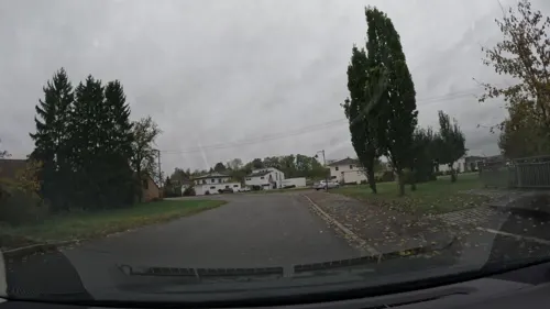
Josef Härle Getreidemühle
Farm and orchard · 3.4 km
2 Bremer Straße, Hohentengen
Mo 08:00-12:00; Tu-Fr 08:00-12:00, 13:30-17:30; Sa 08:00-12:00
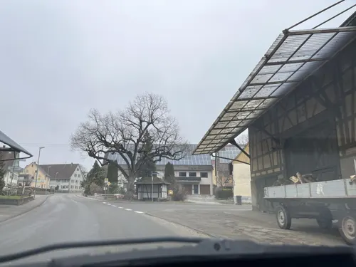
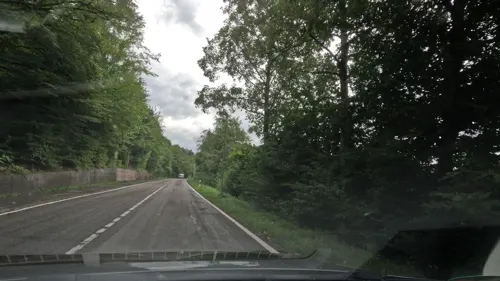
Naturtheater Waldbühne Sigmaringendorf
Cinema and theater · 5.2 km

Museums and landmarks15
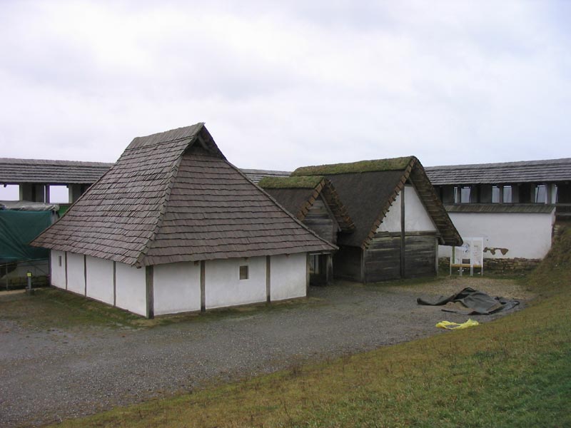

Schloss Bartelstein
Monument and historic site · 3.9 km
17 Sigmaringer Straße, Scheer




Grenzstein Königreich Preußen/Königreich Württemberg
Monument and historic site · 5.4 km

Grenzstein ehemalige Landesgrenze Preußen (Hohenzollernsche Lande)/Württemberg
Monument and historic site · 5.4 km
3 more on the map.
Parks, trails and playgrounds8

Strandbad Krauchenwies
Park · 6.1 km
09:00-20:00 open "Bei schönem Wetter. Falls unklar kann angerufen werden"

Freibad Mengen
Sports field and stadium
PH off; Mo,We,Fr,Sa 09:00-20:00; Tu,Th,Su 07:00-20:00 open,...




Restaurants and cafes55
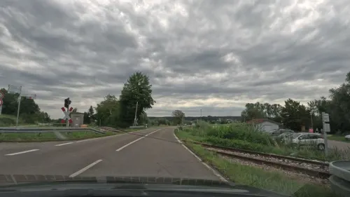
Haus am See
Restaurant · Italian, German · 3.6 km
7 Sigmaringendorfer Straße, Mengen
Tu-Su 11:30-21:00

Restaurant Cockpit
Restaurant · Regional · 2.7 km
33 Flugplatz, Mengen
Mo-Su 11:00-22:00; Tu off; We off
Ristorante Pizzeria L´aragosta
Restaurant · Italian · 0.6 km
11 Hauptstraße, Mengen
Mo off; Tu-Sa 11:30-14:00,17:00-22:30; Su 11:00-14:00,16:30-22:30
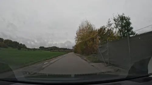
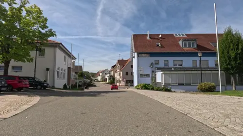
Bäckerei Müller
Bakery · 5.5 km
1 Hauptstraße, Sigmaringendorf
Mo-Fr 06:00-18:00; Sa 06:30-12:00; Su,PH off


Insel Pub Café Mengen
Bar and pub
35 Hauptstraße, Mengen
Mo-Fr 17:00-00:30, Sa 18:00-01:00, Su,PH 17:00-24:00
Neher
Bakery · 3.6 km
48 Krauchenwieser Straße, Mengen
Mo-Fr 07:00-12:30,14:30-18:00; We 07:00-12:30; Sa 07:00-12:00; PH...
Schwarzer Adler
Restaurant
69 Hauptstraße, Mengen
Mo off; Tu-Th 17:00-23:00; Fr-Sa 17:00+, Su 16:00-23:00
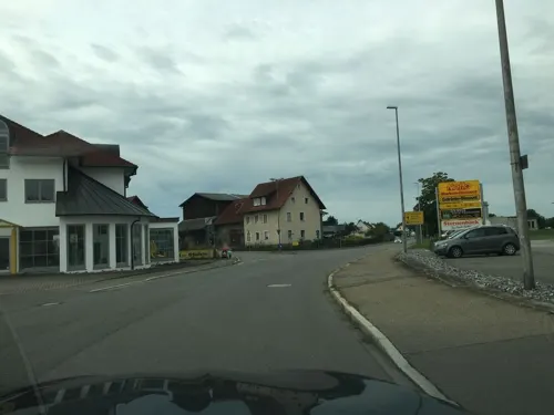


Wirtshaus zur Alten Bibliothek
Bar and pub
2 Meßkircher Straße, Mengen
Mo-Th 11:30-24:00, Fr-Sa 11:30-03:00, Su 11:30-24:00
43 more on the map.
History
The area has been inhabited since prehistoric and early historical times. Two late Bronze Age graves were found in Mengen, both including many metal artifacts. It was around the first Century after Christ Birth, when Romans built a castle on the hills in Ennetach. By this, the Romans strengthened their influence along the Danube River, before they were later driven out by the invading Alemanni. These settled in the area and founded many places with the endings "-ingen", which is thought to be the origins for the city Name of "Me-ingen (now Mengen).
In 1876 it was found on the site of a former Roman villa rustica, so far the only colour mosaic of the Roman period preserved in Upper Swabia. It shows in a medallion the head of Medusa (known as "Medusa of Mengen") and legendary figure remains plait, to which was joined by other original medallions. The remaining parts of the mosaic floor are not preserved. Since the Second World War they have been lost. After the discovery in 2002 in the Landesmuseum Württemberg, it has been restored and has been on display in the Roman Museum Mengen-Ennetach (which closed in 2015).
From the History section of Mengen, Germany on Wikipedia, under CC BY-SA 4.0.
Where to stay10
Churches and places of worship23
Loretokapelle
Church · Roman Catholic · 4.1 km
3 Binger Straße, Scheer
St. Peter und Paul
Church · Roman Catholic · 4.8 km
26 Burgstraße, Scheer
Shopping14
Gas and EV charging6
Schools, colleges and libraries8
Healthcare4
Map of Mengen
151 places. The map loads OpenStreetMap tiles when you open it.
Getting there and nearby towns
Friedrichshafen Airport (FDH) is the nearest airport with scheduled flights listed in OpenStreetMap, 44 km away.
- Sigmaringen 9 km northwest, about 9 min by car
- Bad Saulgau 13 km east, about 13 min by car
- Pfullendorf 15 km south, about 15 min by car
- Riedlingen 16 km northeast, about 16 min by car
- Stockach 33 km southwest, about 33 min by car
- Überlingen 33 km south, about 33 min by car
- Weingarten 35 km southeast, about 35 min by car
- Ravensburg 36 km southeast, about 36 min by car
- Tuttlingen 39 km west, about 39 min by car
- Münsingen 42 km north, about 42 min by car
Drive times are estimates from straight-line distance, not routes.
Local news
Headlines from INDB.
Reviews, tips and questions
Loading what members have shared...
Sources and licences
- GeoNames (CC BY 4.0): population, coordinates, regions and time zone
- Mapillary (see each image): photos
- OpenStreetMap contributors (ODbL 1.0): places, airports, map data
- Wikidata (CC0 1.0): elevation, founding date, time zone, website, landmarks and historic places
- Wikimedia Commons (see each image): photos
- Wikipedia (CC BY-SA 4.0): overview and history text
Photo credits
- Mengen Überblick, Roland Nonnenmacher - D-72516 Scheer / Roland Nonnenmacher Scheer / Donau / Roland Nonnenmacher at German Wikipedia, Attribution
- D-SIG-Mengen2, Szeder László, CC BY-SA 4.0
- Mengen Martinskirche aussen, -- Louis Bafrance 14:54, 9 January 2008 (UTC), CC BY-SA 3.0
- Martinskirche Mengen2, Louis Bafrance, CC BY-SA 3.0
- Bücherschrank-Kreuzplatz-Mengen, Chester100rot, CC BY-SA 4.0
- Grenztafel von Württemberg vor dem Stadmuseum Mengen (Alte Posthalterei), Reutlingendorf, CC BY-SA 4.0
- Grenztafeln der Hohenzollernschen Lande (Preußen) und von Württemberg vor dem Stadmuseum Mengen (Alte Posthalterei) - II, Reutlingendorf, CC BY-SA 4.0
- Grenztafel der Hohenzollernschen Lande (Preußen) vor dem Stadmuseum Mengen (Alte Posthalterei), Reutlingendorf, CC BY-SA 4.0
- Stellwerk 2 Mengen (2020), Hp.Baumeler & Olga Ernst, CC BY-SA 4.0
- Einfahrsignal Mengen (2020), Hp.Baumeler & Olga Ernst, CC BY-SA 4.0
- Bahnhof Mengen (2020), Hp.Baumeler & Olga Ernst, CC BY-SA 4.0
- Bahnhof Mengen Güter, Hp.Baumeler & Olga Ernst, CC BY-SA 4.0
- Aerial image of the Mengen-Hohentengen airfield, Carsten Steger, CC BY-SA 4.0
- Railway station Mengen, Olga Ernst & Hp.Baumeler, CC BY-SA 4.0
- Bahnhof Mengen Stellwerk, Olga Ernst & Hp.Baumeler, CC BY-SA 4.0
- Stellwerk Mengen Ausfahrsignale (2020), Hp.Baumeler & Olga Ernst, CC BY-SA 4.0
- Stellwerk Mengen Detail (2020), Hp.Baumeler & Olga Ernst, CC BY-SA 4.0
- Stellpult Bahnübergangstechnik, Bahnhof Mengen, Olga Ernst & Hp.Baumeler, CC BY-SA 4.0
- Sicherungsanlage Stellwerk Mengen, Olga Ernst & Hp.Baumeler, CC BY-SA 4.0
- Stellwerk Mengen Sicherungsanlage (2020), Hp.Baumeler & Olga Ernst, CC BY-SA 4.0
- Stellwerk Mengen querab (2020), Hp.Baumeler & Olga Ernst, CC BY-SA 4.0
- Stellwerk Mengen Übersicht (2020), Hp.Baumeler & Olga Ernst, CC BY-SA 4.0
- Bahnhof Mengen, Stellwerk, Olga Ernst & Hp.Baumeler, CC BY-SA 4.0
- Stellwerk Bahnhof Mengen, Olga Ernst & Hp.Baumeler, CC BY-SA 4.0
- Ausfahrsignale Stellwerk Mengen, Olga Ernst & Hp.Baumeler, CC BY-SA 4.0
- Heuneburg, Ulf at German Wikipedia, CC BY-SA 3.0
- Schloss Scheer, Roland Nonnenmacher, Attribution
- Mengen Liebfrauenkirche aussen, -- Louis Bafrance 14:56, 9 January 2008 (UTC), CC BY-SA 3.0
- D-BW-SIG-Mengen - Blochinger Sandwinkel 005, ANKAWÜ, CC BY-SA 4.0
- D-BW-SIG-Hohentengen - Ölkofer Ried 001, ANKAWÜ, CC BY-SA 3.0
- Gloria Kino Mengen, Martin Rust, CC BY-SA 3.0
- Hundersingen St Martin, Photo: Andreas Praefcke, CC BY 3.0
- Pfarrkircheennetach, Andreas Hein Andreas hein, Public domain
- Sigmaringendorf Peter und Paul, Louis Bafrance at de.wikipedia, Public domain
- Heudorf, Roland Nonnenmacher at German Wikipedia, Attribution
- Grenzstein zwischen Hitzkofen und Heudorf (Scheer) VIII, Reutlingendorf, CC BY-SA 4.0
- Grenzstein zwischen Hitzkofen und Heudorf (Scheer) I, Reutlingendorf, CC BY-SA 4.0
- D-BW-SIG-Mengen - Blochinger Sandwinkel 002, ANKAWÜ, CC BY-SA 4.0
- Klosterstraße 3, Ennetach, Unknown author Unknown author, Public domain
- Grenztafeln der Hohenzollernschen Lande (Preußen) und von Württemberg vor dem Stadmuseum Mengen (Alte Posthalterei) - I, Reutlingendorf, CC BY-SA 4.0
- Street-level photo, googie0815, CC BY-SA 4.0
- Street-level photo, googie0815, CC BY-SA 4.0
- Street-level photo, googie0815, CC BY-SA 4.0
- Street-level photo, googie0815, CC BY-SA 4.0
- Street-level photo, derzornigemarkus, CC BY-SA 4.0
- Street-level photo, googie0815, CC BY-SA 4.0
- Street-level photo, derzornigemarkus, CC BY-SA 4.0
- Street-level photo, googie0815, CC BY-SA 4.0
- Street-level photo, googie0815, CC BY-SA 4.0
- Street-level photo, googie0815, CC BY-SA 4.0
- Street-level photo, changchun1, CC BY-SA 4.0
- Street-level photo, googie0815, CC BY-SA 4.0
- Street-level photo, googie0815, CC BY-SA 4.0
- Street-level photo, googie0815, CC BY-SA 4.0
- Street-level photo, googie0815, CC BY-SA 4.0
- Street-level photo, googie0815, CC BY-SA 4.0
- Street-level photo, googie0815, CC BY-SA 4.0
- Street-level photo, changchun1, CC BY-SA 4.0
- Street-level photo, googie0815, CC BY-SA 4.0
- Street-level photo, googie0815, CC BY-SA 4.0


Page built November 8, 2026. Spotted a mistake? Tell us or suggest a place.