


Sigmaringen, Germany
Landtagswahlkreis Sigmaringen
Sigmaringen is a town of 16,592 people in Baden-Wurttemberg, Germany.
Why visit Sigmaringen
Townapedia lists 27 museums and landmarks, 7 parks and trails, 48 places to eat, 7 places to stay and 8 attractions in and around town.
Highlights include Zündapp-Museum, Heimatmuseum Runder Turm and Wasenried.
Weather in Sigmaringen
Forecast from MET Norway (CC BY 4.0). Full forecast
About Sigmaringen
Sigmaringen is an electoral constituency (German: Wahlkreis) represented in the Landtag of Baden-Württemberg. Since 2026, it has elected one member via first-past-the-post voting. Voters cast a second vote under which additional seats are allocated proportionally state-wide. Under the constituency numbering system, it is designated as constituency 70.
From the Wikipedia article Sigmaringen (electoral district) (this version), under CC BY-SA 4.0.
Things to do8


Museums and landmarks27

Zündapp-Museum
Museum · 0.9 km
5-7 Fürst-Wilhelm-Straße, Sigmaringen
Apr-Jun,Oct Sa-Su,PH 13:00-17:00; Jul-Sep Th-Su,PH 10:00-17:00



Schloss Suggenstein
Monument and historic site · 1.1 km
7 Friedhofstraße, Sigmaringen
15 more on the map.
Parks, trails and playgrounds7




Restaurants and cafes48
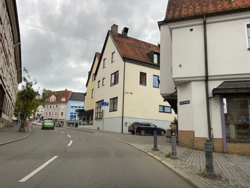
Bombay Palace
Restaurant · Indian · 1.2 km
2 Burgstraße, Sigmaringen
Tu-Su,PH 11:00-14:30,17:00-23:00; Mo off
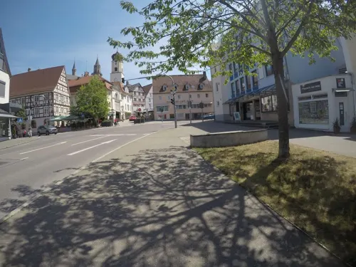
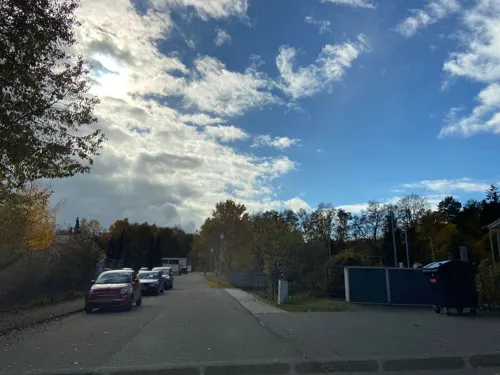
Sportgaststätte Gorheim
Restaurant · Burger, Regional · 2.2 km
12/1 Gorheimer Allee, Sigmaringen
Mo, We, Th 16:00 - 24:00; Fr, Sa, Su 11:30 - 24:00
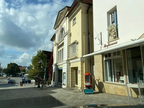
TheaterCaFé
Cafe · German, Regional, Pasta · 1.2 km
40 Fürst-Wilhelm-Straße, Sigmaringen
Mo-Su 10:00-23:00
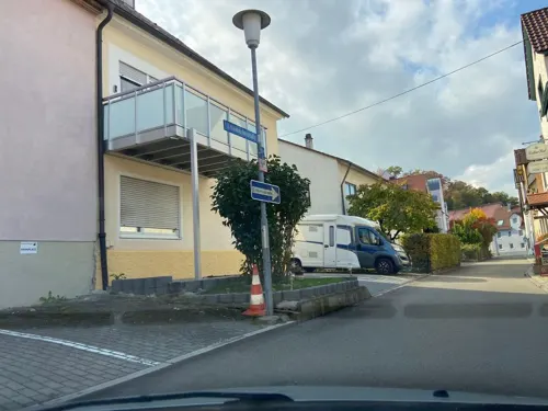

Backhaus Mahl
Bakery · 1.0 km
13 Schwabstraße, Sigmaringen
Mo-Fr 06:30-18:00; Sa 07:00-13:30; Su 07:30-12:00

Backhaus Mahl
Cafe · 1.2 km
81 Bittelschießer Straße, Sigmaringen
Mo-Fr 06:30-18:30; Sa 06:30-17:00; Su 07:00-17:00
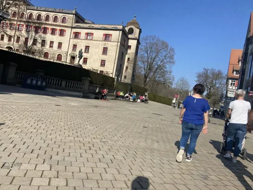
Hotel Restaurant Traube
Restaurant · 1.1 km
19 Fürst-Wilhelm-Straße, Sigmaringen
Mo-Sa 11:30-14:00,17:00-21:00; Su,PH 11:30-19:00
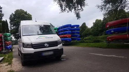
Restaurant Palmengarten
Restaurant · Regional, Hungarian · 1.7 km
6 Georg-Zimmerer-Straße, Sigmaringen
Tu-Sa 17:00-23:00; Su,PH 11:30-23:00

Zum Marstall
Restaurant · 0.9 km
5-7 Fürst-Wilhelm-Straße, Sigmaringen
Mo,Tu 11:30-22:00; Th-Su 11:30-22:30; We off
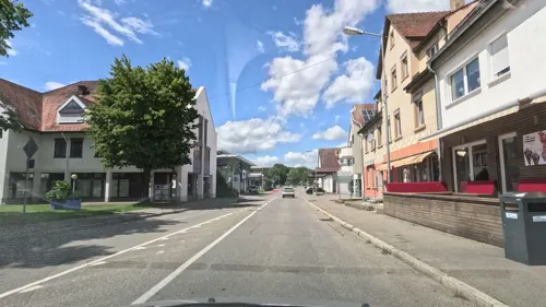


Eiscafé Crema Gelato
Cafe · Ice Cream · 1.3 km
4 Laizer Straße, Sigmaringen
Mo-Su 10:00-21:00
36 more on the map.
Where to stay7
Churches and places of worship11
Ehem. Kloster Hedingen
Church · Catholic · 0.9 km
4 Badstraße, Sigmaringen
Shopping14
Gas and EV charging10
Schools, colleges and libraries8
Theodor-Heuss-Realschule Sigmaringen
School · 1.0 km
11 Hedinger Straße, Sigmaringen
Healthcare9
Pflegeheim Fideliswiesen ProCurand / Bau -A
Clinic and pharmacy · 0.6 km
1-3 Bussenstraße, Sigmaringen
Wohnanlage Fideliswiesen ProCurand / Bau - C
Clinic and pharmacy · 0.6 km
3 Adolph-Kolping-Straße, Sigmaringen
Map of Sigmaringen
149 places. The map loads OpenStreetMap tiles when you open it.
Getting there and nearby towns
Friedrichshafen Airport (FDH) is the nearest airport with scheduled flights listed in OpenStreetMap, 51 km away.
- Stockach 31 km southwest, about 31 min by car
- Tuttlingen 33 km west, about 33 min by car
- Überlingen 36 km south, about 36 min by car
- Spaichingen 37 km west, about 37 min by car
- Weingarten 43 km southeast, about 43 min by car
- Trossingen 44 km west, about 44 min by car
- Reutlingen 45 km north, about 45 min by car
- Singen 47 km southwest, about 47 min by car
- Bad Urach 47 km north, about 47 min by car
- Tübingen 50 km north, about 50 min by car
Drive times are estimates from straight-line distance, not routes.
Local news
Headlines from INDB.
Reviews, tips and questions
Loading what members have shared...
Sources and licences
- GeoNames (CC BY 4.0): population, coordinates, regions and time zone
- Mapillary (see each image): photos
- OpenStreetMap contributors (ODbL 1.0): places, airports, map data
- Wikidata (CC0 1.0): elevation, founding date, time zone, website
- Wikimedia Commons (see each image): photos
- Wikipedia (CC BY-SA 4.0): overview and history text
Photo credits
- Sigmaringen 22.09.2006 15-50-52, Simisa, CC BY-SA 3.0
- D-BW-SIG-Sigmaringen - Nepomukbrücke 003, ANKAWÜ, CC BY-SA 4.0
- D-BW-SIG-Sigmaringen - Nepomukbrücke 002, ANKAWÜ, CC BY-SA 4.0
- Interior of Sigmaringen Castle, room pic2, Alf van Beem, Public domain
- Interior of Sigmaringen Castle, room pic3, Alf van Beem, Public domain
- Interior of Sigmaringen Castle, room pic4, Alf van Beem, Public domain
- Fürstliche Residenzschloss Sigmaringen (8175351247), Heribert Pohl --- Thanks for half a million clicks! from Germering bei München, Bayern, CC BY-SA 2.0
- Stadler Regio-Shuttle RS 1 - Hohenzollerische Landesbahn (HzL) Der 3er Ringzug - Bahnhof Sigmaringen II, Hohenzollernsche Lande, CC BY-SA 4.0
- Stadler Regio-Shuttle RS 1 - Hohenzollerische Landesbahn (HzL) Der 3er Ringzug - Bahnhof Sigmaringen I, Hohenzollernsche Lande, CC BY-SA 4.0
- Sender Sigmaringen (In der Talwiese), Zollernalb, CC BY-SA 3.0
- D-BW-SIG-Sigmaringen - Nepomukbrücke 001, ANKAWÜ, CC BY-SA 4.0
- Sigmaringen Bahnhof BW 2015-04-29 16-20-52, Berthold Werner, CC BY-SA 4.0
- Interior of Sigmaringen Castle chaise longe, Alf van Beem, Public domain
- Interior of Sigmaringen Castle bath in bathroom, Alf van Beem, Public domain
- Interior of Sigmaringen Castle bathroom with first towel heater, Alf van Beem, Public domain
- Sigmaringen, Fürst-Wilhelm-Straße 2, JoeGue, CC BY-SA 4.0
- Sigmaringen Bahnhof BW 2015-04-29 16-14-43, Berthold Werner, CC BY-SA 4.0
- Sigmaringen, Fürst-Wilhelm-Straße 8 (1), JoeGue, CC BY-SA 4.0
- Sigmaringen Bahnhof BW 2015-04-29 16-19-09, Berthold Werner, CC BY-SA 4.0
- Sigmaringen Bahnhof - geo.hlipp.de - 22943, Colin Smith on geo.hlipp.de, CC BY-SA 2.0
- Sigmaringen 0226, Dionysos1970, CC BY-SA 4.0
- Sigmaringen 0233-Pano, Dionysos1970, CC BY-SA 4.0
- SigmaringenHedingerKirche, Ssch, CC BY-SA 3.0
- D-BW-SIG - NSG Wasenried 001, ANKAWÜ, CC BY-SA 4.0
- Sigmaringen Runder Turm BW 2015-04-28 16-27-14, Berthold Werner, CC BY-SA 4.0
- Schulgelaende Liebfrauenschule Sigmaringen, Louis Bafrance, CC BY-SA 4.0
- 00 0207 Stadtpfarrkirche in Sigmaringen - Altarraum, W. Bulach, CC BY-SA 4.0
- Sigmaringen kosciol ewangelicki, Andrzej Otrębski, CC BY-SA 4.0
- Schloss Sigmaringen 2022, Jörg Braukmann, CC BY-SA 4.0
- Sigmaringen Hedinger Kirche 2, Andrzej Otrębski, CC BY-SA 4.0
- Kloster Gorheim SIG2009-04-15 006, Louis Bafrance, CC BY-SA 3.0
- StadtpfarrkircheStJohannSIG2009-04-15 003, Louis Bafrance, CC BY-SA 3.0
- Jesuskind in Krippe - Gebrūder Schultheiss Weissenhorn, Mhrobben, CC BY 4.0
- „Loammandl“-Krippenfiguren, Mhrobben, CC BY 4.0
- Heilige Familie der Gipsgiesserei LDV aus Venedig, Mhrobben, CC BY 4.0
- Krippenfigur aus Porzellan, Melchior, The Franklin Mint, Mhrobben, CC BY 4.0
- Flucht der Heiligen Familie nach Aegypten - Krippenfiguren, Mhrobben, CC BY 4.0
- Maria mit Kind - Schmidt & Heckner Weihnachtskrippen, Mhrobben, CC BY 4.0
- Provencalische Weihnachtskrippe mit Keramikfiguren, Mhrobben, CC BY 4.0
- Krippenfigur aus des Herstellers Jacopo Franchi aus Kevelaer, Mhrobben, CC BY 4.0
- Sigmaringen Fidelishaus BW 2015-04-28 15-54-02, Berthold Werner, CC BY-SA 4.0
- Street-level photo, googie0815, CC BY-SA 4.0
- Street-level photo, googie0815, CC BY-SA 4.0
- Street-level photo, googie0815, CC BY-SA 4.0
- Street-level photo, mfa, CC BY-SA 4.0
- Street-level photo, googie0815, CC BY-SA 4.0
- Street-level photo, googie0815, CC BY-SA 4.0
- Street-level photo, googie0815, CC BY-SA 4.0
- Street-level photo, googie0815, CC BY-SA 4.0
- Street-level photo, googie0815, CC BY-SA 4.0
- Street-level photo, googie0815, CC BY-SA 4.0
- Street-level photo, googie0815, CC BY-SA 4.0
- Street-level photo, googie0815, CC BY-SA 4.0
- Street-level photo, changchun1, CC BY-SA 4.0
- Street-level photo, googie0815, CC BY-SA 4.0
- Street-level photo, googie0815, CC BY-SA 4.0
- Street-level photo, mfa, CC BY-SA 4.0
- Street-level photo, googie0815, CC BY-SA 4.0
- Street-level photo, googie0815, CC BY-SA 4.0


Page built November 8, 2026. Spotted a mistake? Tell us or suggest a place.