


Tuttlingen, Germany
Tuttlingen is a town of 34,847 people in Baden-Wurttemberg, Germany.
Why visit Tuttlingen
Townapedia lists 78 museums and landmarks, 34 parks and trails, 163 places to eat, 22 places to stay and 34 attractions in and around town.
Highlights include Hofladen Hilzinger, Scala, Deutsches Dampflok- und Modelleisenbahnmuseum and Tuttlinger Haus.
Weather in Tuttlingen
Forecast from MET Norway (CC BY 4.0). Full forecast
About Tuttlingen
Tuttlingen (German pronunciation: [ˈtʊtlɪŋən] ; Alemannic: Duttlinga) is a town in Baden-Württemberg, capital of the district Tuttlingen. Nendingen, Möhringen and Eßlingen are three former municipalities that belong to Tuttlingen. Tuttlingen is located in Swabia east of the Black Forest region in the Swabian Jura.
From the Wikipedia article Tuttlingen (this version), under CC BY-SA 4.0.
Travel tips from other travellers: Tuttlingen on Wikivoyage (CC BY-SA 4.0).
Things to do34




22 more on the map.
Museums and landmarks78
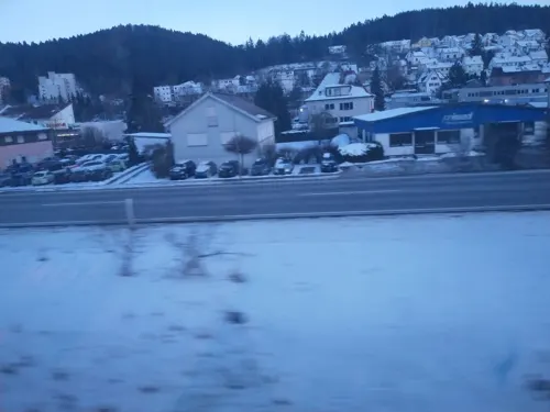




Stadttor
Monument and historic site · 6.8 km
1 Hauptstraße, Mühlheim an der Donau


66 more on the map.
Parks, trails and playgrounds34





Kinderspielplatz Nordstadt
Playground · 1.3 km
Spielplatz mit Sandkasten einer kleinen Schiffsschaukel und mehreren Bänken unter Bäumen
22 more on the map.
Restaurants and cafes163

Gasthaus Krone
Restaurant · German, Regional, European · 5.4 km
Gutbürgerliche, gute deutsche Küche mit Biergarten im Sommer!
22 Kirchstraße, Rietheim-Weilheim
Mo-Fr 11:30-14:00; Mo-Tu 16:30-01:00; Th-Sa 16:30-01:00
Aroma
Restaurant · Indian · 7.9 km
14 Schwarzwaldstraße
Mo-Fr, Su 11:30-14:00, 17:30-22:00; Sa 11:30-22:00
Curryleaf
Restaurant · Indian · 0.8 km
88 Möhringer Straße, Tuttlingen
Mo-Sa 11:30-14:30,17:00-21:30; Su 11:30-14:30,17:00-21:00
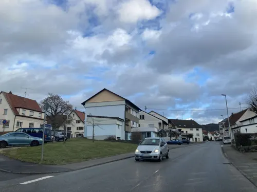
Da Vincy
Restaurant · Italian · 4.0 km
75 Mühlheimer Straße, Tuttlingen
Mo 10:30-23:00; Tu off; We-Sa 10:30-14:00, 17:00-23:45; Su 10:30-22:30
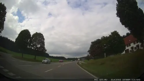
Hotel & Restaurant Seltenbacher Hof
Restaurant · German · 5.0 km
2 Äußerer Talhof, Tuttlingen
Tu-Fr 12:00-14:30, 17:00-21:00; Sa-Su 12:00-21:00
Hula Mula - Fresh Food & Drinks
Restaurant · Coffee Shop, Sushi, Flammkuchen, Breakfast, Cocktail, Bowl
22 Bahnhofstraße, Tuttlingen
Mo,We-Sa 09:30-21:00; Su 10:00-21:00; Tu,PH off
Pizzeria La Montagna
Restaurant · Pizza · 7.8 km
4, Fridingen an der Donau
Mo,We-Fr 11:00-14:00,17:00-23:00; Sa 17:00-23:00; Su,PH 11:00-23:00
Ristorante Pizzeria Italia
Restaurant · Italian
18 Gutenbergstraße, Tuttlingen
Tu-Su 11:30-14:00, Tu-Sa 17:00-24:00, Su 17:00-21:30
Zur Linde
Restaurant · German · 6.9 km
16 Bergstraße, Mühlheim an der Donau
Mo,Tu,Fr 11:30-13:45,17:30-21:00; Sa 17:30-21:00; Su,PH...
baers-place
Restaurant · Burger, Regional, Steak House
2 Untere Vorstadt, Tuttlingen
Mo-Su 17:00-22:00
Brauhaus Krone
Restaurant · 4.9 km
3 Schwarzwaldstraße, Tuttlingen
Tu-Sa 17:00-23:00; Su 11:30-14:00, 17:00-22:00


151 more on the map.
History
The name indicates Tuttlingen likely was a Celtic settlement long before the Romans erected a border castellum at the limes. Spurious archeological findings in 1874 support the theory, but due to its probable location under the foundations of houses in the town centre expansive excavations will not be done.
During the Middle Ages Tuttlingen was first mentioned in 797, and belonged to the monastery of Reichenau shortly thereafter.
The town received its town privileges before 1338 and belonged to Württemberg since 1376/77. Since that time the town was ruled by the "Twelve", consisting of the Mayor, the Sheriff (Schultheiss), and 10 other members of the judiciary/court.
Eberhard im Bart upgraded the citadel of Honberg around 1460 to a first-class border fortress.
During the Thirty Years' War, Tuttlingen was constantly embattled as the southern outpost of the Duchy of Württemberg. A key event was the Battle of Tuttlingen on 24 November 1643 in which the entire French army was defeated by the united Imperial-Bavarian troupes under Franz von Mercy, Melchior Graf von Hatzfeldt, and Johann von Werth.
Tuttlingen was an administrative seat ("Obervogteiamt") early on, and in 1755, it became an administrative seat of Württemberg, which has morphed over time.
From the History section of Tuttlingen on Wikipedia, under CC BY-SA 4.0.
Where to stay22
Churches and places of worship48
Evangelische Kirche
Church · Protestant · 6.4 km
1 Rathausplatz, Rietheim-Weilheim
Katholische Kirche St. Andreas
Church · Roman Catholic · 5.0 km
22 Schwarzwaldstraße, Tuttlingen
Pfarrkirche St. Magdalena
Church · Roman Catholic · 6.9 km
3 Kirchstraße, Mühlheim an der Donau
Sebastianskapelle
Church · Roman Catholic · 3.9 km
33 Obere Hauptstraße, Wurmlingen
St. Gallus
Church · Roman Catholic · 3.6 km
1 Untere Hauptstraße, Wurmlingen
St. Petrus und Jakobus
Church · Catholic · 3.9 km
28 Bräunisbergstraße, Tuttlingen
Shopping43
Gas and EV charging15
bike-energy Ladestation
EV charging · 7.5 km
16 Kolbinger Straße, Mühlheim an der Donau
Schools, colleges and libraries32
Healthcare7
Kreisklinik Tuttlingen
Hospital · 1.1 km
21 Zeppelinstraße, Tuttlingen
Apotheke Mühlheim
Clinic and pharmacy · 6.8 km
4 Tuttlinger Straße, Mühlheim an der Donau
Wurmlinger Apotheke
Clinic and pharmacy · 3.4 km
38 Untere Hauptstraße, Wurmlingen
Map of Tuttlingen
250 places. The map loads OpenStreetMap tiles when you open it.
Getting there and nearby towns
Friedrichshafen Airport (FDH) is the nearest airport with scheduled flights listed in OpenStreetMap, 62 km away.
- Villingen-Schwenningen 26 km west, about 26 min by car
- Überlingen 36 km southeast, about 36 min by car
- Waldshut-Tiengen 60 km southwest, about 1 h by car
- Reutlingen 63 km northeast, about 1 h by car
- Weingarten 64 km east, about 1 h by car
- Waldkirch 65 km west, about 1 h by car
- Bad Urach 71 km northeast, about 1 h 15 min by car
- Wildberg 71 km north, about 1 h 15 min by car
- Weil im Schönbuch 73 km north, about 1 h 15 min by car
- Wehr 79 km southwest, about 1 h 15 min by car
Drive times are estimates from straight-line distance, not routes.
Local news
Headlines from INDB.
Reviews, tips and questions
Loading what members have shared...
Sources and licences
- GeoNames (CC BY 4.0): population, coordinates, regions and time zone
- Mapillary (see each image): photos
- OpenStreetMap contributors (ODbL 1.0): places, airports, map data
- Wikidata (CC0 1.0): elevation, founding date, time zone, website
- Wikimedia Commons (see each image): photos
- Wikipedia (CC BY-SA 4.0): overview and history text
Photo credits
- Tuttlinger Innenstadt, Koppenländer at de.wikipedia, Public domain
- BW Tuttlingen night, PaulT (Gunther Tschuch), CC BY-SA 4.0
- E-bike Ladestation in Tuttlingen 2, Baekemm, CC BY-SA 4.0
- E-bike Ladestation in Tuttlingen 1, Baekemm, CC BY-SA 4.0
- Tuttlingen, toren van Kirche Sankt Peter und Paul IMG 4768 2023-04-30 10.44, Michielverbeek, CC BY 4.0
- Stadtkirche Tuttlingen Orgel, Mathias Schwarz, CC BY-SA 3.0
- Bridge In Tuttlingen - panoramio, Dg-505, CC BY 3.0
- Tuttlingen - Gartenstr. 3 - 2013, Mathias Schwarz, CC BY-SA 3.0
- Donauversickerung01, Markus Schweiß, CC BY-SA 3.0
- Fürstenstein1, Peter Kreuzmann, CC BY-SA 4.0
- Burgruine honberg web, Sebastian Kirsche, CC BY-SA 2.5
- Tuttlingen kirche, Donautalbahner 20:54, 3. Feb. 2007 (CET) (Andreas Frankenhauser), Public domain
- Kirche Nendingen Innenansicht, Knallexus, CC BY 3.0
- MariaKönigin, Braegel, CC BY-SA 3.0
- Aerials Naturschutzgebiet Kraftstein Mühlheim an der Donau, Hansueli Krapf, CC BY-SA 3.0
- Dürbheim Grasmutter-5806, Dietrich Krieger, CC BY-SA 4.0
- Unteres Schloss Immendingen, Nevs Peny ( Diskussion ), CC BY-SA 4.0
- Außenansicht IKG, Jessissarajan, CC BY-SA 4.0
- MuehlheimDonau, Ssch, CC BY-SA 3.0
- Mühlheim an der Donau Sebastianskapelle 126, GFreihalter, CC BY-SA 3.0
- Evangelische Kirche Rietheim, Tragopogon, CC BY-SA 3.0 de
- Stausee Möhringen, Dg-505, CC BY 3.0
- Church Of Möhringen - panoramio, Dg-505, CC BY 3.0
- GalluskircheWurmlingen, audaxx, Public domain
- BW Muehlheim aD church, PaulT (Gunther Tschuch), CC BY-SA 4.0
- Church Of Wurmlingen - panoramio, Dg-505, CC BY 3.0
- Espach, Peter Kreuzmann, CC BY-SA 4.0
- Under The Pine - panoramio, Dg-505, CC BY 3.0
- Wurmlingen, de Sankt Galluskirche IMG 4782 2023-04-30 11.22, Michielverbeek, CC BY 4.0
- Jugendstilfassade der Stadtkirche - panoramio, Mathias Schwarz, CC BY-SA 3.0
- Helfereischeuer von 1804 - panoramio, Mathias Schwarz, CC BY-SA 3.0
- Hinweistafel an der Helfereischeuer - panoramio, Mathias Schwarz, CC BY-SA 3.0
- Ehemaliges Café Reinhard - panoramio, Mathias Schwarz, CC BY-SA 3.0
- Optikhaus Ströble - panoramio, Mathias Schwarz, CC BY-SA 3.0
- Hintereingang Bahnhofstr. 2 - panoramio, Mathias Schwarz, CC BY-SA 3.0
- Rathaus-Turm - panoramio, Mathias Schwarz, CC BY-SA 3.0
- Stolpersteine für Franz und Josef Berger, Baekemm, CC BY-SA 4.0
- Stolpersteine für Franz Berger, Baekemm, CC BY-SA 4.0
- Stolpersteine für Josef Berger, Baekemm, CC BY-SA 4.0
- Gebäude in der Bahnhofstraße 8 - panoramio, Mathias Schwarz, CC BY-SA 3.0
- Sender Witthoh, Cybertorte, CC BY-SA 3.0
- Street-level photo, pablopita, CC BY-SA 4.0
- Street-level photo, pablopita, CC BY-SA 4.0
- Street-level photo, tasmaniadevil, CC BY-SA 4.0
- Street-level photo, chuck, CC BY-SA 4.0
- Street-level photo, tasmaniadevil, CC BY-SA 4.0
- Street-level photo, chuck, CC BY-SA 4.0
- Street-level photo, tasmaniadevil, CC BY-SA 4.0
- Street-level photo, tobim91, CC BY-SA 4.0
- Street-level photo, tobim91, CC BY-SA 4.0
- Street-level photo, nvbwseifert, CC BY-SA 4.0
- Street-level photo, tasmaniadevil, CC BY-SA 4.0
- Street-level photo, pcrease, CC BY-SA 4.0
- Street-level photo, pcrease, CC BY-SA 4.0
- Street-level photo, tobim91, CC BY-SA 4.0


Page built November 8, 2026. Spotted a mistake? Tell us or suggest a place.