


Mühlheim am Main, Germany
Mühlheim am Main is a town of 28,534 people in Hesse, Germany.
Why visit Mühlheim am Main
Townapedia lists 67 museums and landmarks, 47 parks and trails, 196 places to eat, 14 places to stay and 6 attractions in and around town.
Highlights include Hofladen und Partyservice Weinberghof, Bieberer Aussichtsturm, Rumpenheimer Schloss and Hagen castle.
Weather in Mühlheim am Main
Forecast from MET Norway (CC BY 4.0). Full forecast
About Mühlheim am Main
Mühlheim am Main (German pronunciation: [ˈmyːlhaɪm ʔam ˈmaɪn], lit. 'Mühlheim on the Main') is a town of roughly 28,500 inhabitants on the Main’s left bank in the Offenbach district in the Regierungsbezirk of Darmstadt in Hesse, Germany. Its municipal area measures 20.67 km2 (including outlying centres’ areas).
From the Wikipedia article Mühlheim am Main (this version), under CC BY-SA 4.0.
Things to do6

Hofladen und Partyservice Weinberghof
Farm and orchard · 4.3 km
18 Weinbergstraße, Maintal
Th-Fr 08:30-13:00,15:00-18:00; Sa 08:30-12:00; PH off


Walter Beez
Farm and orchard · 2.7 km
5 Dietrich-Bonhoeffer-Straße, Mühlheim am Main
Tu,Th 16:00-18:00, Fr 15:00-18:00, Sa 09:00-12:00

Museums and landmarks67

Rumpenheimer Schloss
Monument and historic site · 2.9 km
Mehrfach erweitert und genutzt bis 1902, danach Verfall. Ab den 1980er Jahren Sicherungsmaßnahmen und später bis 2002 Umbau zu Wohnungen.

Hagen castle
Monument and historic site · 6.5 km
Archaeological site in Hesse, Germany



FunForest Abenteuerpark Offenbach
Monument and historic site · 3.4 km
276a Bieberer Straße, Offenbach am Main

Historisches Rathaus Hochstadt
Museum · 4.1 km
1 Am Rathaus, Maintal
Tu,Sa-Su 15:00-18:00


55 more on the map.
Parks, trails and playgrounds47







PLUTOS Stadion am Bieberer Berg
Sports field and stadium · 3.5 km
1 Waldemar-Klein-Platz
RW Offenbach
Sports field and stadium · 2.0 km
360 Mühlheimer Straße, Offenbach am Main
35 more on the map.
Restaurants and cafes196
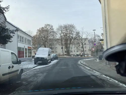
Bürgerhaus Rumpenheim
Restaurant · German, Greek · 2.9 km
2 Pfaffenweg, Offenbach am Main
Mo-Sa 17:00-24:00, Su,PH 11:30-24:00
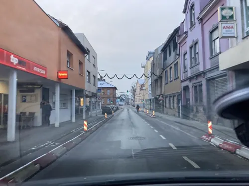
ASIA Bistro Restaurant
Restaurant · Asian · 0.9 km
1a Offenbacher Straße, Mühlheim am Main
Mo-Fr 11:30-14:30,17:30-21:30; Su 12:00-14:30,17:30-21:30; Sa off;...
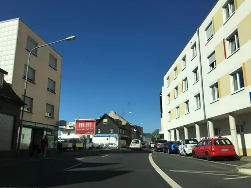
Al Mulino
Restaurant · Italian · 0.9 km
14 Offenbacher Straße, Mühlheim am Main
Mo-Fr 11:30-14:30,16:30-21:30;Sa 16:30-21:30;Su 12:00-20:30
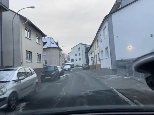
Alte Wagnerei
Restaurant · German · 0.7 km
5 Zimmerstraße, Mühlheim am Main
Tu-Fr 11:30-14:30, 17:00-23:00;Sa 17:00-23:00;Su 11:30-23:00
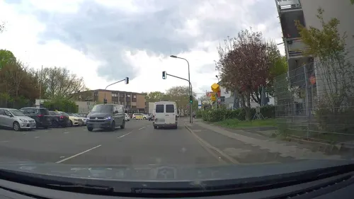
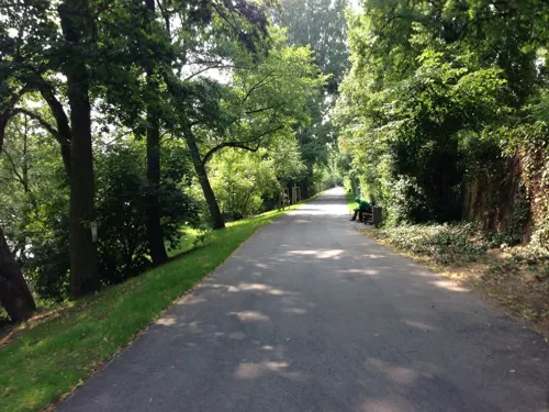
Bootshaus
Restaurant · 4.3 km
Küche: Sa, Su 12:00-22:00; Tu-Fr 12:00-14:00, 18:00-22:00
1 Fechenheimer Leinpfad, Frankfurt am Main
Tu-Su 11:00-21:00
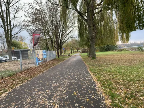
Bootshaus Bürgel
Restaurant · Greek · 3.9 km
Bei stark regnerischen Wetter geschlossen.
We-Fr 17:00-23:00; Sa,Su,PH 12:00-23:00; Mo,Tu off

Bürgerhaus
Restaurant · Regional · 3.9 km
21 Ringstraße Süd, Maintal
Mo-Fr 11:15-13:00,17:00-22:00; Sa-Su 17:00-22:00; PH off
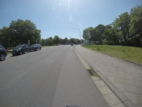
Ebbelwei-Schänke
Restaurant · Wine · 4.1 km
1 Am Rathaus, Maintal
Mo-Tu 17:00-21:00; Th-Sa 17:00-21:00; Su 12:00-20:00; PH off
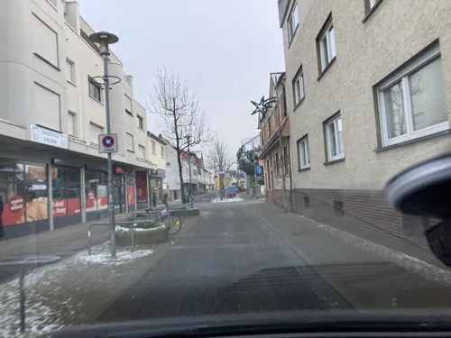
Grace Sushi
Restaurant · Japanese, Sushi · 0.9 km
4 Bahnhofstraße, Mühlheim am Main
Mo-Sa 11:30-15:00,17:00-22:00; Su 17:00-22:00
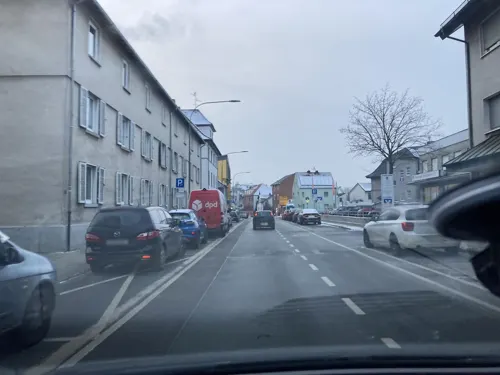


Holzpizza Venice Restaurant
Restaurant · Pizza · 1.0 km
77 Lessingstraße, Mühlheim am Main
Mo-Su 11:30-23:00
184 more on the map.
History
Emperor Louis the Pious donated in 815 Untermühlheim together with Obermühlheim (today called Seligenstadt), which were then in the Frankish Maingau to Einhard. The name Mühlheim goes back to the ten mills (Mühlen in German) which in earlier times stood on the banks of the brooks Rodau and Bieber. Today, though, only one mill has been preserved, the Brückenmühle. This can be visited each year on Whit Monday (German Mill Day).
For a long time in the Middle Ages Mühlheim was Mother Church to the surrounding places of Bürgel, Offenbach, Bieber, Heusenstamm, Dietesheim and Lämmerspiel. The spiritual court for the affiliated communities belonging to the Mother Church sat in this time in Mühlheim. From the 14th century, the Lords of Hagenhausen-Eppstein exercised lordly rights (Hoheitsrechte) in Mühlheim. From the Middle Ages until 1819, Mühlheim and the once self-administering communities of Dietesheim and Lämmerspiel belonged to the Biebermark (a communally owned cadastral area), and the outlying woodlands belonged to the Wildbann Dreieich, a royal hunting forest. Within current town limits once lay a place called Meielsheim.
From the History section of Mühlheim am Main on Wikipedia, under CC BY-SA 4.0.
Where to stay14
Parkhotel Lindenhof
Motel and hotel · 3.3 km
10 Mecklenburger Straße, Offenbach am Main
Churches and places of worship34
Schlosskirche Rumpenheim
Church · Protestant · 2.8 km
4 Schloßgartenstraße, Offenbach am Main
Evangelische Kirche Dörnigheim
Church · Protestant · 1.6 km
20 Kirchgasse, Maintal
Friedenskirche
Church · Protestant · 0.7 km
13 Mozartstraße, Mühlheim am Main
Gustav-Adolf-Kirche
Church · Protestant · 3.5 km
62 Langstraße, Offenbach am Main
Lutherkirche
Church · Protestant · 3.7 km
54 Aschaffenburger Straße, Offenbach am Main
Shopping42
Gas and EV charging22
Schools, colleges and libraries36
Healthcare17
Map of Mühlheim am Main
250 places. The map loads OpenStreetMap tiles when you open it.
Getting there and nearby towns
Frankfurt Airport (FRA) is the nearest airport with scheduled flights listed in OpenStreetMap, 23 km away.
- Offenbach 5 km west, about 5 min by car
- Obertshausen 5 km south, about 5 min by car
- Frankfurt am Main 11 km west, about 11 min by car
- Erlensee 12 km northeast, about 12 min by car
- Seligenstadt 13 km southeast, about 13 min by car
- Nidderau 14 km north, about 14 min by car
- Rodenbach 15 km east, about 15 min by car
- Langenselbold 16 km northeast, about 16 min by car
- Alzenau in Unterfranken 17 km east, about 17 min by car
- Oberursel 21 km northwest, about 21 min by car
Drive times are estimates from straight-line distance, not routes.
Local news
Headlines from INDB.
Reviews, tips and questions
Loading what members have shared...
Sources and licences
- GeoNames (CC BY 4.0): population, coordinates, regions and time zone
- Mapillary (see each image): photos
- OpenStreetMap contributors (ODbL 1.0): places, airports, map data
- Wikidata (CC0 1.0): elevation, founding date, time zone, website, landmarks and historic places
- Wikimedia Commons (see each image): photos
- Wikipedia (CC BY-SA 4.0): overview and history text
Photo credits
- Muhlheim Rathaus, J11 at German Wikipedia, CC BY-SA 3.0
- Luftfoto Mühlheim am Main 02, flightlog, CC BY 2.0
- Bahnhofstraße, 2, Mühlheim am Main, Landkreis Offenbach, GeorgDerReisende, CC BY-SA 4.0
- Uhlandstraße, 1, Mühlheim am Main, Landkreis Offenbach, GeorgDerReisende, CC BY-SA 4.0
- Bahnhofstraße, 3, Mühlheim am Main, Landkreis Offenbach, GeorgDerReisende, CC BY-SA 4.0
- Schillerstraße, 3, Mühlheim am Main, Landkreis Offenbach, GeorgDerReisende, CC BY-SA 4.0
- Schillerstraße, 2, Mühlheim am Main, Landkreis Offenbach, GeorgDerReisende, CC BY-SA 4.0
- Lessingstraße, 1, Mühlheim am Main, Landkreis Offenbach, GeorgDerReisende, CC BY-SA 4.0
- Stolpersteinlage, 1, Schillerstraße 30, Mühlheim am Main, Landkreis Offenbach, GeorgDerReisende, CC BY-SA 4.0
- Ludwigsplatz, 1, Mühlheim am Main, Landkreis Offenbach, GeorgDerReisende, CC BY-SA 4.0
- Stolperstein Peter Anton Dey, 1, Schillerstraße 30, Mühlheim am Main, Landkreis Offenbach, GeorgDerReisende, CC BY-SA 4.0
- Schillerstraße 30, 1, Mühlheim am Main, Landkreis Offenbach, GeorgDerReisende, CC BY-SA 4.0
- Hanau Stadtschloss Woerishoffer1, Carl Wilhelm Woerishoffer, Public domain
- Klingspor-Museum, diba, CC BY-SA 2.0 de
- Heilig-Geist-Kirche, Frankfurt-Riederwald, Sebastian Kasten, CC BY-SA 3.0
- HfG Offenbach 03, diba, CC BY-SA 3.0 de
- Offenbach Rumpenheimer Schloss a, diba, CC BY-SA 2.0 de
- Offenbach Bieberer Aussichtsturm, diba, CC BY-SA 2.0 de
- NSG Mayengewann von Lämmerspiel01, KUGerhardt, CC BY-SA 4.0
- Dietesheim Oberwaldsee 3, E-W, CC BY-SA 3.0
- Maintal Katholische Kirche St. Bonifatius 20101028, Rudolf Stricker, Attribution
- NSG Schultheisweiher OF KUG DSC03388, KUGerhardt, CC BY-SA 4.0
- Evangelische Kirche Dörnigheim 03, Dandelo, CC BY 3.0
- Rumpenheim, Schlosskirchenturm, Karsten Ratzke, CC0
- Friedenskirche Muehlheim am Main, C. M., CC BY-SA 4.0
- Leonhard-Eißnert-Park 04, diba, CC BY-SA 2.0 de
- Bieber, Mauerfeldstraße 4 und 8, Karsten Ratzke, CC0
- Steinheim, Sprengturm der Rouselle'schen Basaltwerke, Karsten Ratzke, CC0
- Evangelische Pfarrkirche Hochstadt fm811466, Ludwig Bickell, Public domain
- Rumpenheim Stahlstich 1847, Fritz Bamberger Ludwig Braunfels, Public domain
- Naturschutzgebiet Oberwaldsee bei Dietesheim, Plenz, CC BY-SA 4.0
- MARIENSCHULE-OFFENBACH.jpg 874858143, Markus Tumbrink, CC BY-SA 4.0
- Biebermündung (Rodau), Freak-Line-Community, CC BY-SA 3.0
- Soft - panoramio, Davidsehn, CC BY 3.0
- Bahnhof Mühlheim (Main) 04, Offenbacherjung, CC BY-SA 4.0
- Bahnhof Mühlheim (Main) 03, Offenbacherjung, CC BY-SA 4.0
- Dammstraße, 1, Mühlheim (Main), Landkreis Offenbach, GeorgDerReisende, CC BY-SA 4.0
- Bahnhofstraße, 1, Mühlheim (Main), Landkreis Offenbach, GeorgDerReisende, CC BY-SA 4.0
- Bahnhof Mühlheim (Main) 01, Offenbacherjung, CC BY-SA 4.0
- Bahnhof Mühlheim (Main) 02, Offenbacherjung, CC BY-SA 4.0
- Stolperstein Irene Reiss, J11, CC BY-SA 4.0
- Stolperstein Adam Pfeifer, 1, Philipp-Reis-Straße 23, Bieber, Offenbach am Main, GeorgDerReisende, CC BY-SA 4.0
- Stolperstein Dr. Julius Wolf, 1, Poststraße 8, Bieber, Offenbach am Main, GeorgDerReisende, CC BY-SA 4.0
- Stolperstein Klara Hohenwarter, 1, Mainstraße 163, Offenbach, GeorgDerReisende, CC BY-SA 4.0
- Rumpenheim, Schlosspark, Holzskulpturen mit Corona-Virus, Karsten Ratzke, CC0
- Street-level photo, robffm, CC BY-SA 4.0
- Street-level photo, mfa, CC BY-SA 4.0
- Street-level photo, robffm, CC BY-SA 4.0
- Street-level photo, robffm, CC BY-SA 4.0
- Street-level photo, foxman, CC BY-SA 4.0
- Street-level photo, ramap, CC BY-SA 4.0
- Street-level photo, robffm, CC BY-SA 4.0
- Street-level photo, robffm, CC BY-SA 4.0
- Street-level photo, robffm, CC BY-SA 4.0
- Street-level photo, mfa, CC BY-SA 4.0
- Street-level photo, ramap, CC BY-SA 4.0
- Street-level photo, wegavision, CC BY-SA 4.0
- Street-level photo, flidolin, CC BY-SA 4.0
- Street-level photo, robffm, CC BY-SA 4.0
- Street-level photo, robffm, CC BY-SA 4.0
- Street-level photo, wegavision, CC BY-SA 4.0
- Street-level photo, robffm, CC BY-SA 4.0
- Street-level photo, robffm, CC BY-SA 4.0
- Street-level photo, wegavision, CC BY-SA 4.0
- Street-level photo, wegavision, CC BY-SA 4.0
- Street-level photo, robffm, CC BY-SA 4.0
- Street-level photo, robffm, CC BY-SA 4.0
- Street-level photo, robffm, CC BY-SA 4.0
- Street-level photo, chuck, CC BY-SA 4.0
- Street-level photo, robffm, CC BY-SA 4.0
- Street-level photo, tmka, CC BY-SA 4.0
- Street-level photo, ramap, CC BY-SA 4.0
- Street-level photo, flidolin, CC BY-SA 4.0
- Street-level photo, poxonline, CC BY-SA 4.0
- Street-level photo, robffm, CC BY-SA 4.0
- Street-level photo, mfa, CC BY-SA 4.0


Page built November 8, 2026. Spotted a mistake? Tell us or suggest a place.