


Why visit Neresheim
Townapedia lists 66 museums and landmarks, 31 parks and trails, 50 places to eat, 11 places to stay and 10 attractions in and around town.
Highlights include Imkerei Forheimer Gold, Klostergut Neresheim, Härtsfeld-Museumsbahn and Grabhügel Barthäule.
Weather in Neresheim
Forecast from MET Norway (CC BY 4.0). Full forecast
About Neresheim
Neresheim (German pronunciation: [ˈneːʁəshaɪm] ) is a town in the Ostalbkreis district, in Baden-Württemberg, Germany. It is situated 16 kilometres (9.9 mi) northeast of Heidenheim, and 20 kilometres (12 mi) southeast of Aalen.
From the Wikipedia article Neresheim (this version), under CC BY-SA 4.0.
Things to do10

Klostergut Neresheim
Farm and orchard · 1.1 km
2 Alte Kösinger Straße, Neresheim
Tu,Th,Sa 09:30-11:30; Fr 09:30-11:30, 15:00-17:00; May-Oct Su...


Hofladen Schauz
Farm and orchard · 5.8 km
9 Dischinger Straße, Nattheim
Museums and landmarks66



Burg Katzenstein
Monument and historic site · 5.7 km
3 Oberer Weiler, Dischingen
Apr-Oct: We-Su 10:00-19:00; Nov-Mar: We-Su 10:00-17:00; PH Off

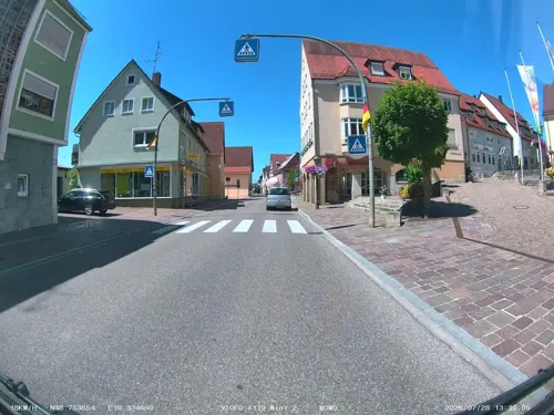
Härtsfeldmuseum
Museum
22 Hauptstraße, Neresheim
Apr-Oct: Su 13:30-16:00 || "Gruppenführungen nach Absprache Tourist-Info"
54 more on the map.
Parks, trails and playgrounds31

Ramensteinbad
Sports field and stadium · 8.9 km
Montag- und Dienstagvormittag Warmbadetag
22 Dieselstraße, Nattheim
Mo-We,Fr 10:00-21:00; Sa,Su,PH 10:00-17:00




Hallenbad Neresheim
Sports field and stadium
16 Dossinger Weg, Neresheim


19 more on the map.
Restaurants and cafes50

Austria Hole Inn - Golfclub Hochstatt
Restaurant · International, Austrian · 3.5 km
1, Dischingen
Tu-Su 10:00-22:00
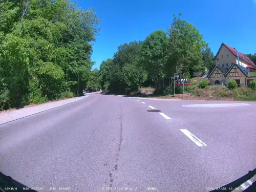
Cafe Magic
Restaurant · Regional, Romanian · 7.3 km
Sonntags 8 - 11 Uhr Frühstücksbuffet
Tu-Sa 11:00-21:00, Su 08:00-21:00
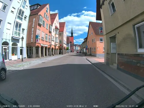
Härtsfelder Brauereigaststätte
Restaurant · German, Regional · 7.3 km
10 Brunnenstraße, Dischingen
Th,Fr 17:00+; Sa 17:00+; Su 11:30-14:00,17:00+
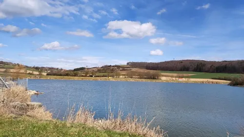
Kiosk am Härtsfeldsee
Restaurant · German, Regional, Coffee Shop, Currywurst, Ice Cream, Cake · 5.4 km
2 Am Härtsfeldsee, Dischingen
Nov-Mar: Fr off; Apr: 10:00-19:00; May-Sep: Mo-Fr 10:00-20:00;...
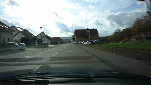
Pizzeria Europa
Restaurant · Italian · 0.6 km
26 Kösinger Straße, Neresheim
Mo-Su 17:00+; We off; Th off
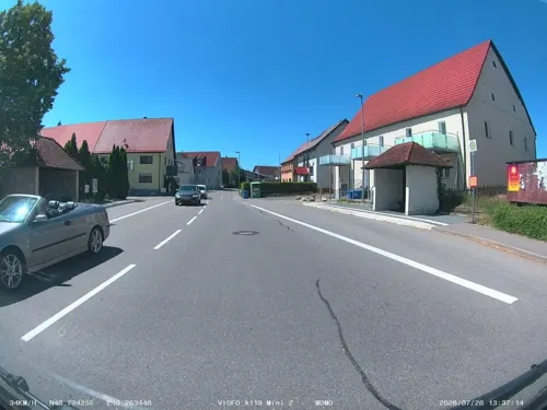
Landgasthof Ochsen
Restaurant · Regional · 6.5 km
Tu-Fr 17:00-24:00; Sa-Su,PH 10:00-14:00; Mo off || "Gruppen ab 20...
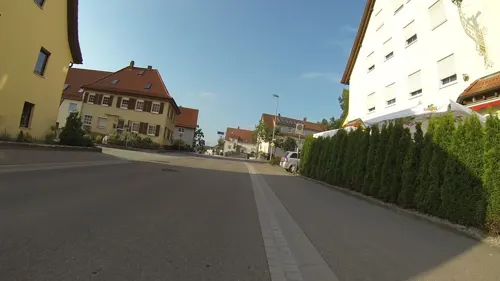
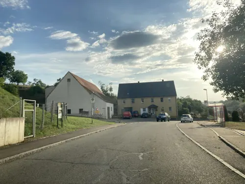


Casa della Pizza
Restaurant · Pizza
4 Marktstraße, Neresheim
Mo, We-Su 11:00-14:00, 17:00-22:00
38 more on the map.
Where to stay11
Churches and places of worship40
Pfarrkirche St. Johann Baptist
Church · Catholic · 6.8 km
1 Marktplatz, Dischingen
Pfarrkirche St. Martinus
Church · Catholic · 9.0 km
6 Kirchenstraße, Dischingen
St. Elisabeth
Church · Roman Catholic · 2.8 km
40 Schwäbische Albstraße, Neresheim
Shopping9
Gas and EV charging6
Wirth-Elektrotechnik GmbH
Gas station · 6.4 km
40 Dossenberger Straße, Dischingen
Schools, colleges and libraries10
Healthcare4
Map of Neresheim
237 places. The map loads OpenStreetMap tiles when you open it.
Getting there and nearby towns
Flughafen Augsburg (AGB) is the nearest airport with scheduled flights listed in OpenStreetMap, 58 km away.
- Bopfingen 12 km north, about 12 min by car
- Heidenheim an der Brenz 16 km southwest, about 16 min by car
- Nördlingen 16 km northeast, about 16 min by car
- Giengen an der Brenz 16 km southwest, about 16 min by car
- Oberkochen 17 km west, about 17 min by car
- Westhausen 18 km northwest, about 18 min by car
- Aalen 20 km northwest, about 20 min by car
- Herbrechtingen 19 km southwest, about 19 min by car
- Bolheim 19 km southwest, about 19 min by car
- Steinheim am Albuch 21 km west, about 21 min by car
Drive times are estimates from straight-line distance, not routes.
Local news
Headlines from INDB.
Reviews, tips and questions
Loading what members have shared...
Sources and licences
- GeoNames (CC BY 4.0): population, coordinates, regions and time zone
- Mapillary (see each image): photos
- OpenStreetMap contributors (ODbL 1.0): places, airports, map data
- Wikidata (CC0 1.0): elevation, founding date, time zone, website, landmarks and historic places
- Wikimedia Commons (see each image): photos
- Wikipedia (CC BY-SA 4.0): overview and history text
Photo credits
- Neresheim 002-, Wolkenkratzer, CC BY-SA 4.0
- Oberamtsgebäude Neresheim, Flowneppets00, CC0
- Neresheim - panoramio (6), Richard Mayer, CC BY 3.0
- Neresheim - panoramio (4), Richard Mayer, CC BY 3.0
- Kloster Neresheim - panoramio, qwesy qwesy, CC BY 3.0
- Neresheim - panoramio (3), Richard Mayer, CC BY 3.0
- Neresheim - panoramio (8), qwesy qwesy, CC BY 3.0
- Kloster Neresheim - panoramio (2), qwesy qwesy, CC BY 3.0
- Kloster Neresheim - panoramio (3), qwesy qwesy, CC BY 3.0
- Neresheim - panoramio (1), Richard Mayer, CC BY 3.0
- Neresheim - panoramio (2), Richard Mayer, CC BY 3.0
- Neresheim - panoramio (7), Richard Mayer, CC BY 3.0
- Neresheim - panoramio, Richard Mayer, CC BY 3.0
- Neresheim - panoramio (5), Richard Mayer, CC BY 3.0
- Kloster Neresheim - panoramio (1), qwesy qwesy, CC BY 3.0
- Burg Katzenstein 140707, Bernd Haynold, CC BY 2.5
- Ohrengipfel7, Bernhard Hampp, CC BY-SA 3.0
- Lok12 Bahnsteig Neresheim, Hannes Ortlieb, CC BY-SA 3.0
- Forheim St. Margaretha 33, GFreihalter, CC BY-SA 3.0
- Dischingen St. Johannes Baptist 203, GFreihalter, CC BY-SA 3.0
- Steinbruchterrassen im Egautal, Thilo Parg, CC BY-SA 4.0
- 170618-01 Wacholderheide unter Sommerhimmel, R.kaelcke, CC BY-SA 4.0
- Naturschutzgebiet Fliegenberg-Kahlhof LRT 6210 20250712 101530, Püppen, CC0
- Neresheim Abteikirche, Memorino, CC BY-SA 3.0
- Neresheim Mariä Himmelfahrt 546, GFreihalter, CC BY-SA 3.0
- Ohmenheim St. Elisabeth 573, GFreihalter, CC BY-SA 3.0
- Eglingen St. Martinus 30, GFreihalter, CC BY-SA 3.0
- Katholische Pfarrkirche St. Mauritius, St. Georg und Maria Immaculata, 5R-MFT, CC BY-SA 4.0
- St. Margarete (Härtsfeldhausen) 060, Kd6=dra, CC0
- Forheim St. Margarete 012, Tilman2007, CC BY-SA 3.0
- Schweindorf (Neresheim) Stefanskirche, Vexillum, CC BY-SA 3.0
- Abtei Neresheim 005, Wolkenkratzer, CC BY-SA 4.0
- Auernheim.St Georg 1985, Klemens Ganzenmüller. ShortyAurna at de.wikipedia, CC BY-SA 2.0 de
- Forheim St. Margarete 002, Tilman2007, CC BY-SA 3.0
- Dossinger-Tal, Kreuzschnabel, CC BY-SA 3.0
- Egau Ursprung, Freak-Line-Community, CC BY-SA 3.0
- Wassertretanlage im Stadtgarten, 5R-MFT, CC BY-SA 4.0
- Härtsfeld-Museumsbahn - panoramio, qwesy qwesy, CC BY 3.0
- Bahnhof der Härtsfeld-Museumsbahn - panoramio, qwesy qwesy, CC BY 3.0
- Härtsfeld Museumsbahn, 5R-MFT, CC BY-SA 4.0
- Street-level photo, soulcover, CC BY-SA 4.0
- Street-level photo, soulcover, CC BY-SA 4.0
- Street-level photo, soulcover, CC BY-SA 4.0
- Street-level photo, skiloo, CC BY-SA 4.0
- Street-level photo, msdess, CC BY-SA 4.0
- Street-level photo, soulcover, CC BY-SA 4.0
- Street-level photo, gpsvid, CC BY-SA 4.0
- Street-level photo, soulcover, CC BY-SA 4.0
- Street-level photo, soulcover, CC BY-SA 4.0
- Street-level photo, soulcover, CC BY-SA 4.0
- Street-level photo, soulcover, CC BY-SA 4.0
- Street-level photo, tasmaniadevil, CC BY-SA 4.0
- Street-level photo, tasmaniadevil, CC BY-SA 4.0
- Street-level photo, gpsvid, CC BY-SA 4.0
- Street-level photo, gpsvid, CC BY-SA 4.0
- Street-level photo, gpsvid, CC BY-SA 4.0


Page built November 9, 2026. Spotted a mistake? Tell us or suggest a place.