


Why visit Oberkochen
Townapedia lists 32 museums and landmarks, 13 parks and trails, 34 places to eat, 9 places to stay and 23 attractions in and around town.
Highlights include Aalbäumle, Volkmarsbergturm, Zeiss - Museum der Optik and Heimatmuseum.
Weather in Oberkochen
Forecast from MET Norway (CC BY 4.0). Full forecast
About Oberkochen
Oberkochen (German pronunciation: [ˈoːbɐˌkɔxn̩] , lit. 'Upper Kochen', in contrast to "Lower Kochen") is a municipality (officially a town, despite its size) in the Ostalbkreis, in Baden-Württemberg, in Germany.
From the Wikipedia article Oberkochen (this version), under CC BY-SA 4.0.
Things to do23

Aalbäumle
Scenic view · 3.9 km
Wetterstation Aalbäumle 707 m über Normalnull mit Web-Kamera steuerbar öffentlich http://www.wetter-aalen.de/ Turmplattform auf 701m
1, Aalen
Apr 15-Oct 31: Sa-Su 09:00-19:00, PH 09:00-19:00




11 more on the map.
Museums and landmarks32


Feldkreuz im Wolfertstal
Monument and historic site · Catholic · 1.5 km
Holzkreuz beim Aussiedlerhof Fischer (Pflugwirt) Dank und Bittkreuz.


Christi-Ruh-Kapelle
Monument and historic site · 4.5 km
100 Otto-Rieger-Platz, Aalen

Fliegertod
Monument and historic site · 3.6 km
Gedenkstein mit folgender Inschrift: Hier fanden Erich Hunger *1911 Max Heinrich *1913 Heinz Petersb *1914 am 28.4.1928 den Fliegertod

Gedenkstein Förster Wilhelm Braun
Monument and historic site · 3.8 km
Der Gedenkstein wurde Ende der 80er-Jahre errichtet.
Geologischer Pfad
Monument and historic site · 4.1 km
Stein mit eingemauerten Fossilien, da gibts eine ganze Reihe vom Burgstall bis zum Langertturmrauf
Hans Stütz Erinnerungsstein
Monument and historic site · 3.0 km
Stein mit Metalltafel: Zur Erinnerung an Hans Stütz Vorstand der Realgenossenschaft Unterkochen 1980-1993

Kreuz b. "Römerkeller"
Monument and historic site · 1.5 km
Kreuz b. "Römerkeller" erstellt erstmals 1949 als Dankeskreuz, erneuert 1995 als Primiz- u. Dankeskreuz Fam. Wber
20 more on the map.
Parks, trails and playgrounds13

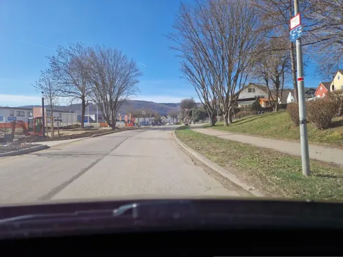
Kocherbad
Sports field and stadium · 1.0 km
88 Aalener Straße, Oberkochen
Tu-Fr 13:00-21:00; Sa-Su 10:00-18:00; PH 10:00-18:00



1 more on the map.
Restaurants and cafes34
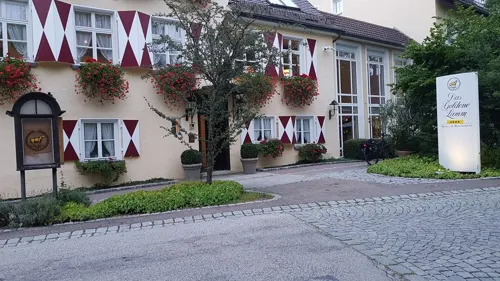

Landgasthof Läuterhäusle
Restaurant · Regional · 4.6 km
109 Waldhäuser Straße, Aalen
Th-Sa 17:30-22:00; Su 11:30-14:30
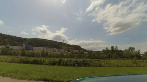
Ristorante Pizzeria "Incontro"
Restaurant · Italian · 4.6 km
80 Aalener Straße, Aalen
Mo-Th 11:00-14:00,17:30-23:00; Su 11:00-14:00,17:00-22:30; Sa 17:30-22:00
Vereinsheim MGC Oberkochen
Restaurant · Regional · 1.5 km
23 Galileistraße, Oberkochen
Sa 14:00-21:00; Su,PH 10:00-21:00
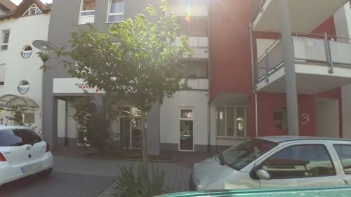
Eiscafé Cristallo
Restaurant · Italian, Ice Cream
1 Katzenbachstraße, Oberkochen
Mo-Su 09:00-21:00
Indus Valley
Restaurant · Indian · 4.6 km
Mo 17:00-22:30, Tu off, We-Fr 17:00-22:30, Sa-Su 11:30-22:30
Restaurant Panorama
Restaurant · Regional · 4.5 km
Kaffeemaschine auch außerhalb der Gaststättenöffnungszeiten zugänglich
Mo off; Tu-Sa 11:30-21:00; Su 11:30-20:00
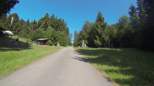
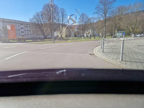
Wirtshaus Scheerermühle
Restaurant · Regional
1 Mühlstraße, Oberkochen
Mo off; Tu off; We,Th 11:00-14:00,18:00-23:30; Fr 18:00-23:30; Sa...
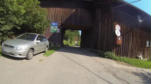
Ziegelhütte
Restaurant · Regional · 3.5 km
1 Ziegelhütte, Königsbronn
Mo,Th,Fr 14:00-24:00+; Tu,We off; Sa,Su 10:00-24:00+
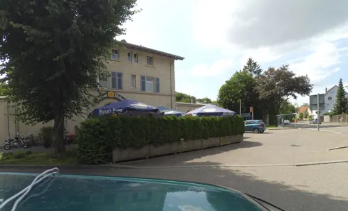


22 more on the map.
Where to stay9
Churches and places of worship12
Mariä Himmelfahrt
Church · Roman Catholic · 4.4 km
42 Aalener Straße, Königsbronn
Maria-Schutz-Kapelle
Church · Roman Catholic · 0.7 km
51 Kapellensteige, Oberkochen
Shopping7
Gas and EV charging6
Schools, colleges and libraries9
Bundesagentur für Arbeit - Bildungs- und Tagungsstätte
School · 4.5 km
2 Brandenburger Straße, Aalen
Healthcare3
Map of Oberkochen
148 places. The map loads OpenStreetMap tiles when you open it.
Getting there and nearby towns
Manfred Rommel Airport Stuttgart (STR) is the nearest airport with scheduled flights listed in OpenStreetMap, 66 km away.
- Aalen 6 km north, about 6 min by car
- Steinheim am Albuch 11 km south, about 11 min by car
- Heidenheim an der Brenz 12 km south, about 12 min by car
- Heubach 13 km west, about 13 min by car
- Westhausen 12 km northeast, about 12 min by car
- Bolheim 17 km south, about 17 min by car
- Herbrechtingen 19 km south, about 19 min by car
- Gerstetten 19 km south, about 19 min by car
- Ellwangen 20 km north, about 20 min by car
- Bopfingen 20 km northeast, about 20 min by car
Drive times are estimates from straight-line distance, not routes.
Local news
Headlines from INDB.
Reviews, tips and questions
Loading what members have shared...
Sources and licences
- GeoNames (CC BY 4.0): population, coordinates, regions and time zone
- Mapillary (see each image): photos
- OpenStreetMap contributors (ODbL 1.0): places, airports, map data
- Wikidata (CC0 1.0): elevation, founding date, time zone, website
- Wikimedia Commons (see each image): photos
- Wikipedia (CC BY-SA 4.0): overview and history text
Photo credits
- Oberkochen, User:Carport, Public domain
- St. Peter und Paul Oberkochen, Aalen1, CC0
- St. Ottilien Oberkochen B, Aalen1, CC0
- Oberkochen Josefskapelle 1, Aalen1, CC0
- Versoehnungskirche Oberkochen 001, Oko01, CC BY-SA 3.0
- Oberkochen ZEISS Museum der Optik Ausstellung 2026-10-28, Brotbuexe, CC BY-SA 4.0
- Lindenbrunnen Oberkochen, Aalen1, CC0
- St. Peter und Paul Oberkochen b, Aalen1, CC0
- Bahnhof Oberkochen 171015 2, 4spring, CC0
- Bahnhof Oberkochen 171015 1, 4spring, CC0
- Holzkreuz Oberkochen Kapellenweg, Aalen1, CC0
- Oberkochen ZEISS Museum der Optik Planetariumsprojektor 2026-10-27, Brotbuexe, CC BY-SA 4.0
- Holzkreuz Oberkochen Aalenerstr52, Aalen1, CC0
- Holzkreuz Oberkochen Heidenheimerstr71, Aalen1, CC0
- Oberkochen von Josefskapelle gesehen, Aalen1, CC0
- Panoramic View Leitz GmbH Co KG Oberkochen October 2015, Mfelhofer, CC BY-SA 4.0
- Holzkreuz Oberkochen Heidenheimerstr90, Aalen1, CC0
- Holzkreuz Oberkochen Katzenbachstr72, Aalen1, CC0
- Oberkochen Stadtbibliothek, Geak, CC BY-SA 4.0
- Aussichtsturm Volkmarsberg, Vexillum, CC BY-SA 3.0
- Weg zum Volkmarsberg - panoramio, Clemens Pohl, CC BY-SA 3.0
- Oberkochen St. Peter und Paul, Geak, CC BY-SA 4.0
- Oberkochen Heimatmuseum Raum 6 Bohrmacherhandwerk, Historiker2, CC BY-SA 4.0
- Maria Eich (Ebnat) Kapelle, Geak, CC BY-SA 4.0
- Aalbäumle, Memorino, CC BY 3.0
- St. Maria u Barbarakapelle, Aalen1, CC0
- Ottilienkapelle Oberkochen, Aalen1, CC0
- Friedenskirche (Unterkochen), Aalen1, CC BY-SA 4.0
- Volkmarsbergturm, Stefan Karl, CC BY-SA 3.0
- Unterkochen Rochuskapelle, Aalen1, CC0
- Holzkreuz Oberkochen Katzenbachstrasse125, Aalen1, CC0
- Holzkreuz Oberrombach Lausberg, Aalen1, CC0
- Holzkreuz Oberkochen Langertbach, Aalen1, CC0
- Kapelle Unterkochen Otto-Rieger-Platz, Aalen1, CC0
- Fliegertod, Aalen1, CC0
- Kreuz beim Römerkeller Oberkochen, Aalen1, CC0
- Unterkochen 2018 12, Klaus Graf, CC BY-SA 3.0
- St. Augustinus-Kirche, Aalen1, CC0
- Waldkapelle Maria bei der Eiche Aalen Ebnat, Aalen1, CC0
- Oberkochen Volkmarsberg, Geak, CC BY-SA 4.0
- Flachsberg nördlich von Königsbronn, Geprei, CC BY-SA 4.0
- Frauenstein Panorama, Harjawalski, CC BY-SA 4.0
- Street-level photo, maerklin29800, CC BY-SA 4.0
- Street-level photo, walloherbrechtingen, CC BY-SA 4.0
- Street-level photo, wegavision, CC BY-SA 4.0
- Street-level photo, maerklin29800, CC BY-SA 4.0
- Street-level photo, changchun1, CC BY-SA 4.0
- Street-level photo, gpsvid, CC BY-SA 4.0
- Street-level photo, wegavision, CC BY-SA 4.0
- Street-level photo, wegavision, CC BY-SA 4.0
- Street-level photo, gpsvid, CC BY-SA 4.0
- Street-level photo, wegavision, CC BY-SA 4.0
- Street-level photo, changchun1, CC BY-SA 4.0
- Street-level photo, maerklin29800, CC BY-SA 4.0
- Street-level photo, gpsvid, CC BY-SA 4.0
- Street-level photo, wegavision, CC BY-SA 4.0
- Street-level photo, maerklin29800, CC BY-SA 4.0
- Street-level photo, wegavision, CC BY-SA 4.0
- Street-level photo, wegavision, CC BY-SA 4.0
- Street-level photo, wegavision, CC BY-SA 4.0
- Street-level photo, maerklin29800, CC BY-SA 4.0
- Street-level photo, wegavision, CC BY-SA 4.0
- Street-level photo, walloherbrechtingen, CC BY-SA 4.0
- Street-level photo, wegavision, CC BY-SA 4.0


Page built November 9, 2026. Spotted a mistake? Tell us or suggest a place.