


Why visit Bolheim
Townapedia lists 35 museums and landmarks, 25 parks and trails, 57 places to eat, 9 places to stay and 10 attractions in and around town.
Highlights include Biotal Hofladen, Charlottenhöhle, Galerie Gloge and Burg Hürgerstein.
Weather in Bolheim
Forecast from MET Norway (CC BY 4.0). Full forecast
Things to do10

Biotal Hofladen
Farm and orchard · 4.1 km
19 Talstraße, Herbrechtingen
Mo-Fr 08:30-18:30; Sa 07:30-16:00; PH off


Museums and landmarks35





Matscher Christus
Monument and historic site · 1.6 km
Der "Matscher Christus" erinnert an die ehemalige Nikolauskapelle, die Anfang des 19. Jahrhunderts abgebrochen wurde. Der Bergbauer und...
23 more on the map.
Parks, trails and playgrounds25
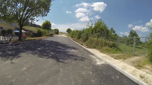
Freizeitbad Jurawell
Sports field and stadium · 2.3 km
27 Baumschulenweg, Herbrechtingen
Mo 14:00-22:00; Tu-Sa 09:00-22:00; We 07:00-22:00; Su 09:00-20:00

Voith-Arena
Sports field and stadium · 4.2 km
160 Schloßhaustraße, Heidenheim an der Brenz

HellensteinEnergie Ballpark
Sports field and stadium · 4.0 km
Seit 2021 tragen die Heideköpfe ihre Heimspiele im HellensteinEnergie Ballpark aus (vorläufige Vertragslaufzeit 10 Jahre).

Spielfläche Naturfreundehaus Täle
Playground · 3.7 km
08:00-20:00
Spielfläche Ravensburger Straße
Playground · 3.1 km
08:00-20:00
13 more on the map.
Restaurants and cafes57

Albstüble
Restaurant · Regional · 4.2 km
162 Schloßhaustraße, Heidenheim an der Brenz
Mo-Sa 11:00-22:00; Su,PH 11:00-21:00 open "An Heimspieltagen...
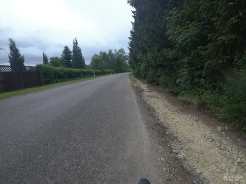
El Greco
Restaurant · Greek · 2.4 km
11 Schießbergstraße, Herbrechtingen
Mo,Tu,Th,Fr,Sa 17:30-23:00, Su,PH 11:30-14:30, 17:30-23:00
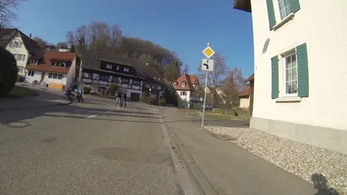
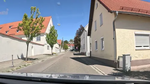
Hirschbachkeller
Restaurant · German · 2.5 km
8 Eselsburger Straße, Herbrechtingen
We-Sa 11:30-14:30; We-Fr 17:00-21:00; Su,PH 11:30-21:00
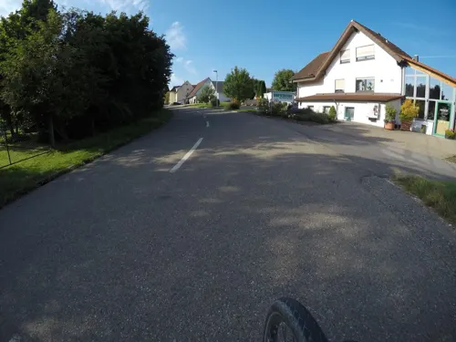
Hofschenke Schwarzer Beck
Restaurant · Regional · 3.7 km
65/1 Anhauser Straße
Mo off; Tu-Fr,Su,PH 11:30-21:00; Sa 10:00-21:00
Talschenke
Restaurant · 4.1 km
15 Talstraße, Herbrechtingen
Mo off; Tu-Th 11:30-18:00; Fr-Sa 11:30-21:00; Su 10:00-21:00; PH...

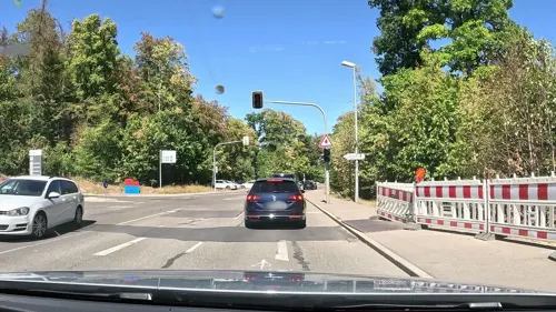
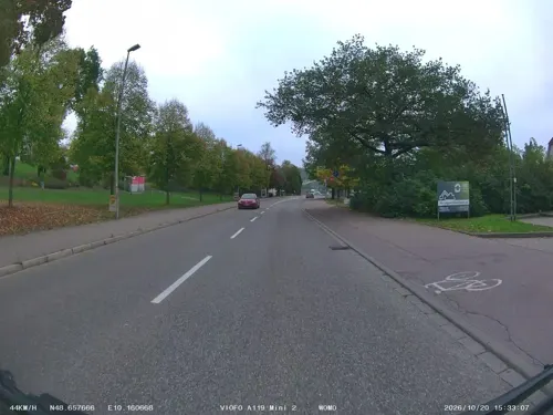
Peerless Dine im Lamm
Restaurant · Regional · 3.0 km
40 Carl-Schwenk-Straße, Heidenheim an der Brenz
Mo-Tu off; We-Sa 17:00+; Su 11:00+; PH 11:00+
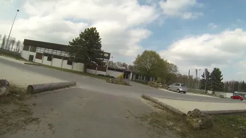


SVM Gaststätte
Restaurant · 3.4 km
4 In der Schwende, Heidenheim an der Brenz
Mo off; Tu-Fr 11:00-14:00,16:00-23:00; Sa-Su 11:00-21:00

Appalachian Barbecue & Burger
Diner · American · 4.3 km
12 Ziegelei, Herbrechtingen
We-Th 11:30-13:30,17:00-21:00; Fr 11:30-14:00,17:00-21:00; Sa-Su...
45 more on the map.
Where to stay9
Churches and places of worship16
Evangelische Kirche
Church · Protestant · 2.7 km
27 Oberdorfstraße, Heidenheim an der Brenz
Christkönigkirche
Church · Roman Catholic · 2.9 km
18 Zoeppritzstraße, Heidenheim an der Brenz
Gemeindezentrum Hohe Wart
Church · Protestant · 2.1 km
2 Königsberger Weg, Herbrechtingen
Klosterkirche St. Dionysius
Church · Protestant · 2.5 km
72 Lange Straße, Herbrechtingen
Neuapostolische Kirche
Church · New Apostolic · 1.6 km
4 Buigenstraße, Herbrechtingen
Shopping16
Gas and EV charging5
HEM Tankstelle
Gas station · 3.0 km
44 Carl-Schwenk-Straße, Heidenheim an der Brenz
SB-Station Autoservice Kaltak
Gas station · 4.0 km
76 Giengener Straße, Heidenheim an der Brenz
Schools, colleges and libraries10
Healthcare3
Map of Bolheim
186 places. The map loads OpenStreetMap tiles when you open it.
Getting there and nearby towns
Flughafen Augsburg (AGB) is the nearest airport with scheduled flights listed in OpenStreetMap, 62 km away.
- Herbrechtingen 2 km southeast, about 2 min by car
- Heidenheim an der Brenz 5 km north, about 5 min by car
- Giengen an der Brenz 7 km east, about 7 min by car
- Gerstetten 10 km west, about 10 min by car
- Langenau 15 km south, about 15 min by car
- Günzburg 22 km southeast, about 22 min by car
- Lauingen 22 km east, about 22 min by car
- Aalen 23 km north, about 23 min by car
- Geislingen an der Steige 24 km west, about 24 min by car
- Heubach 24 km northwest, about 24 min by car
Drive times are estimates from straight-line distance, not routes.
Local news
Headlines from INDB.
Reviews, tips and questions
Loading what members have shared...
Sources and licences
- GeoNames (CC BY 4.0): population, coordinates, regions and time zone
- Mapillary (see each image): photos
- OpenStreetMap contributors (ODbL 1.0): places, airports, map data
- Wikidata (CC0 1.0): elevation, founding date, time zone, website, landmarks and historic places
- Wikimedia Commons (see each image): photos
Photo credits
- Charlottenhöhle, 16, Rainer Lippert, Public domain
- Voith-Arena, 1846Hoirna, CC BY-SA 3.0
- Die Burg Falkenstein, Holger Uwe Schmitt, CC BY-SA 4.0
- Eselsburger-Tal Herbrechtingen Baden-Württemberg Germany Burg-Hürgerstein-02, CEphoto, Uwe Aranas, CC BY-SA 3.0
- Burgstall Eselsburg, Unknown author, CC BY-SA 3.0
- 170516-02 das Brenztal bei Eselsburg, R.kaelcke, CC BY-SA 4.0
- Ruine Hurwang, Thilo Parg, CC BY-SA 3.0
- Herbrechtingen Kirche, Prolineserver, CC BY-SA 3.0
- Am Tiefen Weg, Geprei, CC BY-SA 4.0
- Hasenloch, Geprei, CC BY-SA 4.0
- Lindachhöhle, Geprei, CC BY-SA 4.0
- Geländeteile am westlichen Wartberg, Geprei, CC BY-SA 4.0
- THW GKW2 MB 911, Michael Bieniek from Heidenheim, Deutschland, CC BY 2.0
- THW Seilbahn mit Schleifkorb, Michael Bieniek from Heidenheim, Deutschland, CC BY 2.0
- Kloster Anhausen 2011, Simmy40, CC BY 3.0
- Street-level photo, stefanro74, CC BY-SA 4.0
- Street-level photo, gpsvid, CC BY-SA 4.0
- Street-level photo, mfa, CC BY-SA 4.0
- Street-level photo, VIA_CH, CC BY-SA 4.0
- Street-level photo, VIA_CH, CC BY-SA 4.0
- Street-level photo, ray66, CC BY-SA 4.0
- Street-level photo, stefanro74, CC BY-SA 4.0
- Street-level photo, soulcover, CC BY-SA 4.0
- Street-level photo, gpsvid, CC BY-SA 4.0
- Street-level photo, stefanro74, CC BY-SA 4.0
- Street-level photo, ray66, CC BY-SA 4.0
- Street-level photo, gpsvid, CC BY-SA 4.0
- Street-level photo, ray66, CC BY-SA 4.0
- Street-level photo, gpsvid, CC BY-SA 4.0
- Street-level photo, gpsvid, CC BY-SA 4.0
- Street-level photo, gpsvid, CC BY-SA 4.0
- Street-level photo, gpsvid, CC BY-SA 4.0
- Street-level photo, wegavision, CC BY-SA 4.0
- Street-level photo, gpsvid, CC BY-SA 4.0
- Street-level photo, stefanro74, CC BY-SA 4.0


Page built November 9, 2026. Spotted a mistake? Tell us or suggest a place.