


Niederkrüchten, Germany
Niederkrüchten is a town of 15,487 people in North Rhine-Westphalia, Germany.
Why visit Niederkrüchten
Townapedia lists 215 museums and landmarks, 56 parks and trails, 97 places to eat, 34 places to stay and 24 attractions in and around town.
Highlights include Genholter Bauernhof-Laden, Happelter Hof, Mühlenmuseum Schrofmühle and Dalheimer Klosterhof.
Weather in Niederkrüchten
Forecast from MET Norway (CC BY 4.0). Full forecast
About Niederkrüchten
Niederkrüchten (German pronunciation: [niːdɐˈkʁʏçtn̩]) is a municipality in the district of Viersen, in North Rhine-Westphalia, Germany. It is situated approximately 15 km east of Roermond in the Netherlands and 15 km west of Mönchengladbach.
From the Wikipedia article Niederkrüchten (this version), under CC BY-SA 4.0.
Things to do24
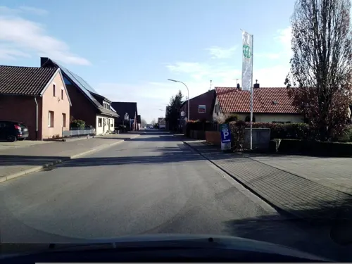
Genholter Bauernhof-Laden
Farm and orchard · 6.7 km
Spargel
61 Genholter Straße, Brüggen
Apr-Jun: 08:30-21:00

Happelter Hof
Farm and orchard · 6.9 km
Gemüse, Kartoffeln
2 Happelter Heide, Brüggen
Mo-Fr 08:00-19:00; Sa 08:00-16:00
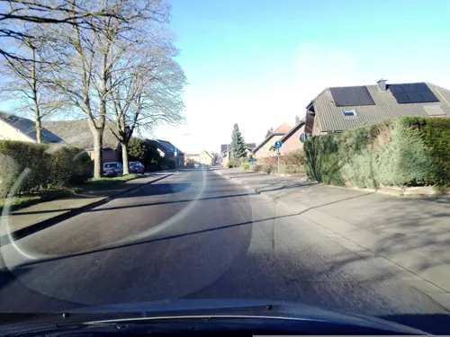
Hofladen Paul's Spargel
Farm and orchard · 6.8 km
Spargel
30 Genholter Straße, Brüggen
Mo-Su 08:00-20:00
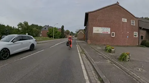
Steinkenrather Hofladen
Farm and orchard · 3.2 km
Kartoffel, Gemüse
28 Mönchengladbacher Straße, Niederkrüchten
Mo-Fr 08:30-18:30; Sa 08:30-17:30; Apr-Jun: Su 10:00-15:00
Puten Farm Ritte
Farm and orchard · 6.3 km
26 Dülkener Straße, Wegberg
Tu-Fr 09:00-18:00; Sa 09:00-13:00; Su-Mo, PH off
Mevissen
Farm and orchard · 4.8 km
Spargel
156 Hauptstraße, Niederkrüchten
Mo 08:30-12:30; Tu-Fr 08:30-12:30,14:00-18:00; Sa 08:30-13:00
Hofladen Böscherhof
Farm and orchard · 4.3 km
Nov-Mar: Mo-Su, PH 08:00-18:00; Apr-Oct: Mo-Su, PH 08:00-sunset
Jacobs Hof
Farm and orchard · 5.9 km
Meat, potatos
Fr 08:30-12:30,14:00-18:30; Sa 08:00-12:30
12 more on the map.
Museums and landmarks215
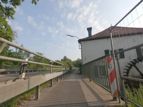
Mühlenmuseum Schrofmühle
Museum · 6.5 km
Wassermühle aus dem 18. und 19. Jahrhundert. Vierflügelige Anlage in Backstein; Wohngebäude Zweigeschossig in acht Achsen, Türgewände...
2 Schrofmühle, Wegberg
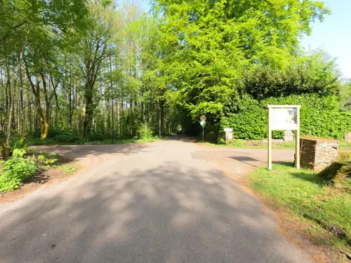
Dalheimer Klosterhof
Monument and historic site · 6.8 km
Gehöft aus dem 18. Jahrhundert, zweigeschossige, vierflügelige Anlage in Backstein, mit Krüppelwalmdach; wahrscheinlich die...
8 Mühlenstraße, Wegberg

Lüttelforster Mühle
Monument and historic site · Regional · 2.0 km
Backsteinwinkelhofanlage, Mühlrad erhalten, jedoch im 19. Jh. verändert
Sa, Su 12:00-22:00; We-Fr 15:00-22:00

Mühlrather Mühle
Monument and historic site · Steak House · 3.1 km
Zweigeschossige Wassermühle mit zwei unterschlächtigen Wasserrädern
Mo-Fr 12:00-15:00,17:00-22:00; Tu off; Sa,Su 12:00-22:00
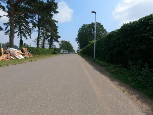
St.-Barbara-Kirche
Monument and historic site · 6.9 km
Wellblechbaracke mit Tonnenquerschnitt; Giebelwände aus verputzten Backstein; Ostgiebel mit rundbogigen Portal; N vier, S...
43 St.-Barbara-Straße, Brüggen

Borner Mühle
Monument and historic site · 4.7 km
2-geschossiger Backsteinbau mit Ankersplinten, rechter Trakt neu ergänzt; vor der Mühle Wegekreuz des 18./20. Jh., Holzkreuz mit Holzkorpus

Brempter Mühle
Monument and historic site · 1.6 km
Mühlgebäude: Backstein,2-geschossig,Mühlrad; gegenüber vierflügelige Hofanlage, Wohnhaus 2-geschossig, 5 Achsen, Blausteintürgewänden,...

Brüggener Mühle
Monument and historic site · 4.9 km
3-geschossig in 8 Achsen, Mittelrisalit mit Giebel und Tor, EG leicht abgeböscht, Backstein mit Ankersplinten, Walmdach rückwärtige...

Burg Brüggen
Monument and historic site · 5.0 km
3-geschossige Hauptburg mit Walmdach und seitlichem Rundturm, Reste der Vorburg C15. Torhaus auf quadratischem Grundriß Mit Torbogen und...
Dilborner Mühle
Monument and historic site · 5.3 km
Zweigeschossiger Backsteinbau mit klassizistischer Eingangstür mit Blausteingewände. Im Wohnhaus Räume mit Kölner Decken; hinten links...

Evangelischer Friedhof Häsenberg
Cemetery · Protestant · 4.1 km
Evangelische Gemeinde set C15, 1609 100 Mitglieder 1611 eigener Pfarrer; unterstützt durch Herren von Haus Klee, Umfassungsmauer des...
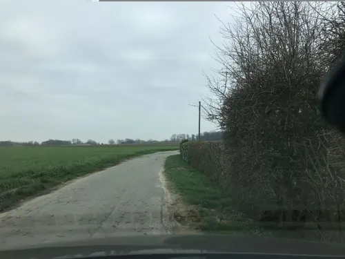
Hütter Mühle
Monument and historic site · 4.4 km
3-flügelige Hofanlage mit giebelständigem 1-geschossigen Wohnhaus mit Krüppelwalmdach; Gebäude um 1900 verändert
203 more on the map.
Parks, trails and playgrounds56




44 more on the map.
Restaurants and cafes97

Bauerncafe Bolten
Cafe · Regional · 2.7 km
Leckere selbstgemachte Kuchen, ein echtes Bauerncafe
185 Lüttelforst, Schwalmtal
We-Fr 14:00-17:00; Sa 13:00-18:00; Su 09:30-18:00
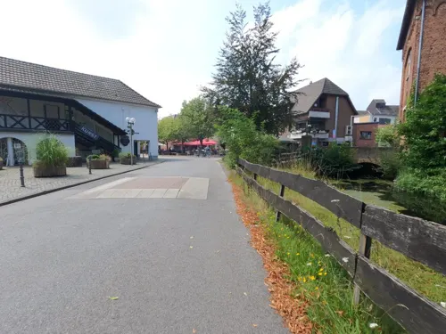
Gasthof Timmermans
Restaurant · Regional · 5.2 km
4 Zum Thomeshof, Wegberg
We-Su 10:00-20:00; Mo,Tu off
Gaststätte Jackels
Restaurant · Regional, German · 5.9 km
68 Harbecker Straße, Wegberg
We-Su 11:30-22:30; Mo,Tu off
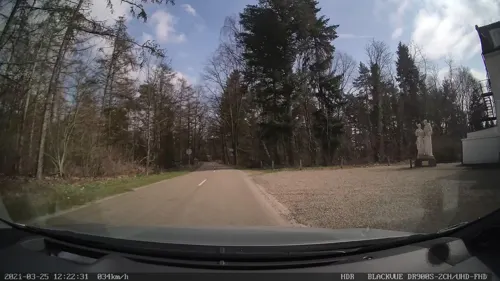
Hotel Restaurant St. Ludwig
Restaurant · Regional · 6.8 km
22 Station, Vlodrop
Tu,We,Fr,Sa 12:00-22:00; Su 10:00-22:00
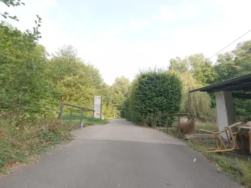
Hotel-Restaurant Molzmühle
Restaurant · International · 5.9 km
41 In Bollenberg, Wegberg
Su,PH 12:00-18:00
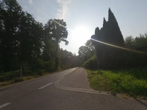

Punto Via
Restaurant · Pizza, Italian · 4.2 km
25 Markt, Schwalmtal
Mo, We-Fr 12:00-14:00, 17:00-21:30; Tu off; Sa-Su 17:00-21:30
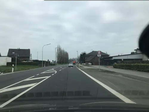


85 more on the map.
Where to stay34
Churches and places of worship43
Shopping37
Gas and EV charging11
Schools, colleges and libraries22
Freie Waldorfschule Kreis Heinsberg e.V.
School · 6.5 km
12 Dechant-Ruppertzhoven-Weg, Wegberg
Healthcare10
Map of Niederkrüchten
250 places. The map loads OpenStreetMap tiles when you open it.
Getting there and nearby towns
Düsseldorf-Mönchengladbach Airport (MGL) is the nearest airport with scheduled flights listed in OpenStreetMap, 20 km away.
- Schwalmtal 4 km northeast, about 4 min by car
- Wegberg 8 km southeast, about 8 min by car
- Wassenberg 12 km south, about 12 min by car
- Viersen 14 km northeast, about 14 min by car
- Mönchengladbach 16 km east, about 16 min by car
- Willich 24 km east, about 24 min by car
- Tönisvorst 24 km northeast, about 24 min by car
- Krefeld 28 km northeast, about 28 min by car
- Straelen 27 km north, about 27 min by car
- Neuss 33 km east, about 33 min by car
Drive times are estimates from straight-line distance, not routes.
Local news
Headlines from INDB.
Reviews, tips and questions
Loading what members have shared...
Sources and licences
- GeoNames (CC BY 4.0): population, coordinates, regions and time zone
- Mapillary (see each image): photos
- OpenStreetMap contributors (ODbL 1.0): places, airports, map data
- Wikidata (CC0 1.0): elevation, founding date, time zone, website, landmarks and historic places
- Wikimedia Commons (see each image): photos
- Wikipedia (CC BY-SA 4.0): overview and history text
Photo credits
- Pano kirche niederkrüchten, Ichmichi, CC BY-SA 3.0
- Freibad Niederkrüchten 2017, Pucky08-15, CC BY-SA 4.0
- Schwalm Niederkrüchten, A1xjlq1, CC BY-SA 3.0
- Niederkrüchten-Brempt Motte Brempt, Kurwal, CC BY-SA 4.0
- Meinweg Heide, Bodoklecksel, CC BY-SA 3.0
- Borner-Muehle-2013, Tuxyso, CC BY-SA 3.0
- Brüggener Mühle 2, Käthe u. Bernd Limburg ( http://www.limburg-bernd.de ), CC BY-SA 3.0 de
- BurgBrueggenFront, sodele, CC BY-SA 2.0
- Pano amern kirche, Ichmichi at German Wikipedia, CC BY-SA 3.0
- St Jakobus Lüttelforst quer, CaS2000, CC BY-SA 3.0
- Merbeck Kirche St. Maternus Ansicht, Käthe u. Bernd Limburg, www.limburg-bernd.de, CC BY-SA 3.0 de
- Mühlrather Mühle 1, Käthe u. Bernd Limburg ( http://www.limburg-bernd.de ), CC BY-SA 3.0 de
- Hebebrücke aus alten Zeiten, Sallyofmayflower, CC BY-SA 3.0
- Buschmühle am Mühlenbach NSG HS-006, Huckety, CC BY-SA 3.0
- Meinweg A, Heinz Eßer, CC BY-SA 3.0
- Pfarrkirche-St-Peter-Born-2013, Tuxyso, CC BY-SA 3.0
- Charging station Brüggen Nikolausplatz, Kurwal, CC BY-SA 4.0
- Ladestation Brüggen Borner Straße 50-52 NEW 11710599, Gmbo 2013, CC0
- Lüttelforster Mühle 1, Käthe und Bernd Limburg http://www.limburg-bernd.de, CC BY-SA 3.0 de
- St Jakobus Lüttelforst hochkant, CaS2000, CC BY-SA 3.0
- Arsbeck Pfarrkirche St. Adelgundis, Käthe u. Bernd Limburg, www.limburg-bernd.de, CC BY-SA 3.0 de
- 2021 03 03 St. Michael (Waldniel) (1), Rudolfo42, CC BY-SA 4.0
- 7D L6297, A1xjlq1, CC BY-SA 4.0
- Lesteva sicula heeri Fauvel, 1871 (23066977904), Udo Schmidt from Deutschland, CC BY-SA 2.0
- ISS050-E-20553 - View of Earth, Earth Science and Remote Sensing Unit , Lyndon B. Johnson Space Center, Public domain
- ISS039-E-14095 - View of Earth, Earth Science and Remote Sensing Unit , Lyndon B. Johnson Space Center, Public domain
- ISS057-E-22045 - View of Earth, Earth Science and Remote Sensing Unit, NASA Johnson Space Center, Public domain
- ISS057-E-22044 - View of Earth, Earth Science and Remote Sensing Unit, NASA Johnson Space Center, Public domain
- ISS030-E-76229 - View of Earth, Earth Science and Remote Sensing Unit , Lyndon B. Johnson Space Center, Public domain
- ISS048-E-54617 - View of Earth, Earth Science and Remote Sensing Unit , Lyndon B. Johnson Space Center, Public domain
- ISS063-E-31013 - View of Earth, Earth Science and Remote Sensing Unit, NASA Johnson Space Center, Public domain
- ISS042-E-223824 - View of Earth, Earth Science and Remote Sensing Unit , Lyndon B. Johnson Space Center, Public domain
- ISS031-E-36332 - View of Earth, Earth Science and Remote Sensing Unit , Lyndon B. Johnson Space Center, Public domain
- ISS006-E-8278 - View of Europe, Earth Science and Remote Sensing Unit , Lyndon B. Johnson Space Center, Public domain
- ISS046-E-33088 - View of Earth, Earth Science and Remote Sensing Unit , Lyndon B. Johnson Space Center, Public domain
- Street-level photo, hektor1989, CC BY-SA 4.0
- Street-level photo, hektor1989, CC BY-SA 4.0
- Street-level photo, saschahaberkorn, CC BY-SA 4.0
- Street-level photo, hektor1989, CC BY-SA 4.0
- Street-level photo, simonhard, CC BY-SA 4.0
- Street-level photo, madel, CC BY-SA 4.0
- Street-level photo, madel, CC BY-SA 4.0
- Street-level photo, hektor1989, CC BY-SA 4.0
- Street-level photo, simonhard, CC BY-SA 4.0
- Street-level photo, hektor1989, CC BY-SA 4.0
- Street-level photo, hektor1989, CC BY-SA 4.0
- Street-level photo, hektor1989, CC BY-SA 4.0
- Street-level photo, madel, CC BY-SA 4.0
- Street-level photo, joopjrvdl, CC BY-SA 4.0
- Street-level photo, joopjrvdl, CC BY-SA 4.0
- Street-level photo, madel, CC BY-SA 4.0
- Street-level photo, hektor1989, CC BY-SA 4.0
- Street-level photo, rausk, CC BY-SA 4.0
- Street-level photo, rausk, CC BY-SA 4.0
- Street-level photo, saschahaberkorn, CC BY-SA 4.0
- Street-level photo, simonhard, CC BY-SA 4.0
- Street-level photo, gboellertz, CC BY-SA 4.0
- Street-level photo, madel, CC BY-SA 4.0
- Street-level photo, saschahaberkorn, CC BY-SA 4.0
- Street-level photo, musje1958, CC BY-SA 4.0
- Street-level photo, hektor1989, CC BY-SA 4.0
- Street-level photo, descilla, CC BY-SA 4.0


Page built November 8, 2026. Spotted a mistake? Tell us or suggest a place.