


Why visit Willich
Townapedia lists 117 museums and landmarks, 77 parks and trails, 174 places to eat, 15 places to stay and 15 attractions in and around town.
Highlights include TAM, Theater am Marienplatz, Elektrothek and Willicher Friedenskreuz.
Weather in Willich
Forecast from MET Norway (CC BY 4.0). Full forecast
About Willich
Willich (German pronunciation: [ˈvɪlɪç] ) is a town in the district of Viersen, in North Rhine-Westphalia, Germany. It is 20 km west of Düsseldorf, 14 km north of Mönchengladbach, 10 km south of Krefeld, about 30 kilometres east of the border with the Netherlands and 45 km east of Roermond.
From the Wikipedia article Willich (this version), under CC BY-SA 4.0.
Photos of Willich


Things to do15

Theater am Marienplatz
Cinema and theater · 5.2 km
81-83 Marienstraße, Krefeld

Mertens Fisch
Farm and orchard · 4.3 km
Fresh and smoked fish, potatoes, eggs, vegetables
Fr 09:00-18:00; Sa 09:00-14:00
Obst und Rosen Tillmanns
Farm and orchard · 2.2 km
Fruits, roses
Mo-Sa 09:00-13:00; Th,Fr 09:00-13:00,14:30-18:00
Obsthof Mertens
Farm and orchard · 1.3 km
1 Wekeln, Willich
Mo-Fr 08:30-18:30; Sa 08:30-16:00; Apr-Oct: Su 09:30-16:00
Obsthof Selders
Farm and orchard · 2.2 km
Vegetables, fruits
Mo-Sa 09:00-13:00; Fr 09:00-13:00,15:00-18:00
Spargel vom Hoppe Hof
Farm and orchard · 4.2 km
83 Bommershöfer Weg, Meerbusch
Tu-Fr 10:00-18:00; Sa-Su 09:00-17:00
Spargelhof Meyer
Farm and orchard · 3.6 km
Asparagus, potatoes
Apr 01-Jun 26: Mo-Fr 08:00-18:30; Sa-Su 08:00-17:00
Fisch am Büttgerwald
Farm and orchard · 4.0 km
Fish, chicken, vegetables, fruit
Mo-Fr 09:00-17:00; Sa 09:00-14:00
Geflügelhof Kreutzer
Farm and orchard · 4.6 km
3 Büttgerwald, Korschenbroich
Tu 10:00-13:00; Th,Fr 10:00-17:30; Sa 09:00-13:00
3 more on the map.
Museums and landmarks117


Willicher Friedenskreuz
Monument and historic site · Roman Catholic · 0.6 km
5 m hohes Eichenkreuz, errichtet es als Friedens- und Sühnezeichen durch das „Katholische Männerwerk“; Eichenholz gestiftet von Landwirt...

Jüdischer Friedhof Anrath
Cemetery · 3.9 km
9 Grabsteine erhalten, bis zu 1,74 m hoch sind; Geburts- und Sterbedaten zwischen 1810 und 1906

Schloss Neersen
Monument and historic site · 5.1 km
Ursprünglich Motte“; Dreigeschossiger Winkelbau mit viergeschossigen überhöhten, quadratischen Ecktürmen. im Kern gotisch. Vorwerk...




Jüdischer Friedhof Bertzweg
Cemetery · 2.1 km
Als Ersatz für Friedhof in Knickelsdorf; im ersten Gräberfeld Grabsteine von 26 Schiefbahner Juden, im zweiten 16 Grabsteinevon...
Jüdischer Friedhof Knickelsdorf
Cemetery · 3.8 km
Alter Friedhof der jüdischen Gemeinde Schiefbahn; 1866 mit Grabenanlage versehen, da das Gelände oft unter Wasser stand und...
Löhrshof
Monument and historic site · 1.2 km
Wohnstallhaus, Fachwerkkonstruktion mit Backsteinausfachungen; fachwerksichtiger Giebel; Eingang im Mittelhaus. Außenwände neu...
Friedhofskreuz
Monument and historic site · Roman Catholic · 5.0 km
Friedhof 1823 neu angelegt. Friedhofskreuz, Sandstein, H. ca. 4m,; Fialenartiger Aufbau, Kreuz mit Kruzifixus, Schenkung von Josef...
Kreuzwegstation
Monument and historic site · Roman Catholic · 2.6 km
Der Fussfall besteht aus Sandstein mit Nische und Eisengitter. Inschrift und Datierung stark verwittert. Im oberen Teil durch Gesims...
105 more on the map.
Parks, trails and playgrounds77





Neersener Bürgergarten
Park · 4.9 km
Tu-Sa 14:00-21:00; PH,Su 11:00-21:00

65 more on the map.
Restaurants and cafes174
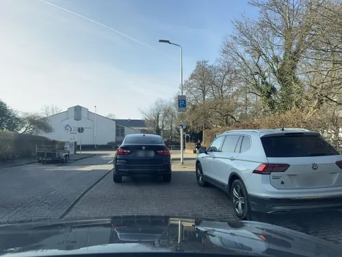
+84 Willich
Restaurant · Vietnamese
13 Dammstraße, Willich
Mo-Fr 11:00-15:00,17:00-22:00; Sa,Su,PH 11:00-22:00
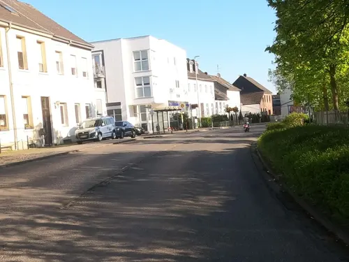
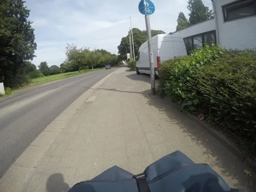
China Sea Garden
Restaurant · Asian
Ehem. Wirtshaus im Park
Mo-Sa 11:30-15:00,17:30-23:00; Su,PH 11:30-23:00
Im Pferdestall
Restaurant · Balkan · 5.0 km
79 Krefelder Straße, Meerbusch
Mo-Sa 11:30-14:30,17:00-23:30; Su,PH 11:30-23:30,Th closed
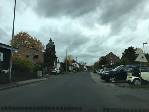
Johnen im Haus Broicherdorf
Restaurant · Regional, Tarte Flambee, Burger, Ice Cream · 5.2 km
57 Broicherdorfstraße, Kaarst
Mo-Tu,Th 16:30-23:00; We off; Fr-Su 11:00-14:30,16:30-24:00
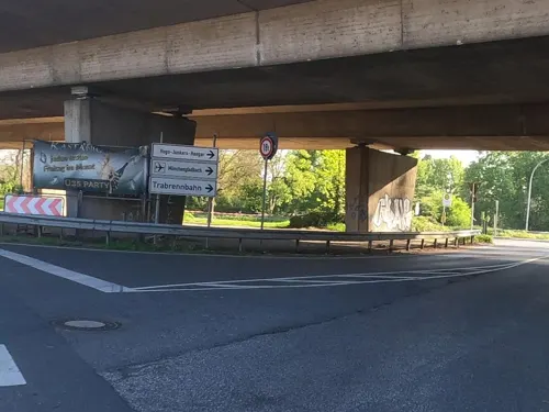
Kastanienhof
Restaurant · American, Breakfast, International · 5.6 km
765 Krefelder Straße
Mo-Su 07:00-23:00
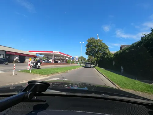
New York Pizza
Restaurant · Pizza
40 Parkstraße, Willich
Mo-Th 11:00-22:00; Fr 11:00-23:00; Sa 12:00-23:00; Su 12:00-22:00
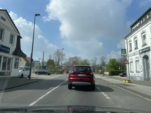
ONz Bistro & Eventbar
Restaurant · Thai, Asian, International · 5.4 km
11 Strümper Straße, Meerbusch
Tu,Th-Sa 10:00-24:00; Su,Mo,We off

Herr Jansen
Restaurant · International · 5.0 km
10 Zum Renneshof, Willich
Tu-Th 11:00-19:00; Fr-Sa 11:00-21:00; Su,PH 11:00-19:00
162 more on the map.
History
The city was founded in 1970 out of the formerly independent villages of Willich, Anrath, Schiefbahn and Neersen, although the villages are much older. Anrath was mentioned for the first time in 1010, Willich in 1245, Neersen in 1262 and Schiefbahn in 1420.
The villages belonged to the Electorate of Cologne until the French Revolutionary Wars:
in 1794, French troops occupied the left bank of the Rhine; France annexed the territory later (1797/1801) and kept it until 1814. After the Battle of Waterloo (June 1815), the Congress of Vienna was held and the villages fell to the Kingdom of Prussia.
In 1891 a tornado devastated Anrath. The village was already impoverished by the decline of previously dominant domestic weaving and now the municipal administration of Anrath even considered a dissolution of the village. To improve the economic situation a royal prison was built. It was completed in 1905.
In 1908 Stahlwerk Becker (a steel mill) was built and up to its closing in 1932 (during the Great Depression) was one of the largest employers in Willich. After the Nazi seizure of power (30 January 1933), the steel mill got a new owner and was reopened in 1934. Military supplies (at first for the German rearmament and later for World War II) were manufactured there. The factory was finally closed in 1945 and the grounds were converted to a military base for the British Armed Forces.
Read more of the history
During World War II, Willich suffered only minor damage to its infrastructure. During Operation Grenade on March 1, 1945, American forces which had entered Schiefbahn met a counterattack from a German Panzer unit. Heavy fighting erupted, with both sides suffering numerous casualties.
During the 19th century more than 100 Jews lived in the four villages. During the Third Reich, the Nazis deported 40 Jews – of whom 38 were ultimately murdered in the Nazi death camps.
The British Army of the Rhine had soldiers stationed in Willich for more than 40 years: 40 Army Engineer Support Regiment (40 AESR), which by the early 1980s was reduced down to 40 Army Engineer Support Group (40 AESG). Both units belonged to the Royal Engineers. In 1992 the camp was closed and the group disbanded. In July 2009 a reunion took place in the old camp. 141 attended the evening event. There was a reunion again in 2012 with over 200 joining in the complete weekend.
From the History section of Willich on Wikipedia, under CC BY-SA 4.0.
Notable people from Willich
 Janis BlaswichGerman association football playerPhoto: Werner100359, CC BY-SA 4.0
 Christian VanderGerman footballerPhoto: Steindy ( talk ) 10:36, 21 July 2009 (UTC), CC BY-SA 3.0
 Nina MittelhamGerman table tennis playerPhoto: Granada, CC BY-SA 4.0
 Peter SchiergenGerman jockey and trainerPhoto: cgerry77, CC BY-SA 2.0
 Joschka LangenbrinckGerman politicianPhoto: Foto: Caroline Marti, Rechteinhaber:..., CC BY-SA 3.0 de
 Johannes FloehrGerman comedian and writerPhoto: Der Fotowikinger, CC BY-SA 4.0
- Irmgard LatzGerman badminton player
- Gudrun HänischGerman synchronized swimmer
- Daniela RathGerman high jumper
- Ramon ZenkerGerman musician
- Ulrich BraukmannGerman economist
- Harald KrüllGerman ice hockey player
Born in Willich, according to Wikidata (CC0). Each name links to its Wikipedia article.
Where to stay15
Churches and places of worship32
Shopping48
Gas and EV charging21
Schools, colleges and libraries37
Healthcare21
Map of Willich
250 places. The map loads OpenStreetMap tiles when you open it.
Getting there and nearby towns
Düsseldorf-Mönchengladbach Airport (MGL) is the nearest airport with scheduled flights listed in OpenStreetMap, 5 km away.
- Neersen 5 km west, about 5 min by car
- Kaarst 6 km southeast, about 6 min by car
- Krefeld 8 km north, about 8 min by car
- Tönisvorst 7 km northwest, about 7 min by car
- Korschenbroich 8 km south, about 8 min by car
- Meerbusch 10 km east, about 10 min by car
- Mönchengladbach 11 km southwest, about 11 min by car
- Viersen 11 km west, about 11 min by car
- Neuss 12 km southeast, about 12 min by car
- Kempen 14 km northwest, about 14 min by car
Drive times are estimates from straight-line distance, not routes.
Towns near Willich


Keep exploring
Local news
Headlines from INDB.
Reviews, tips and questions
Loading what members have shared...
Sources and licences
- GeoNames (CC BY 4.0): population, coordinates, regions and time zone
- Mapillary (see each image): photos
- OpenStreetMap contributors (ODbL 1.0): places, airports, map data
- Wikidata (CC0 1.0): elevation, founding date, time zone, website, landmarks and historic places
- Wikimedia Commons (see each image): photos
- Wikipedia (CC BY-SA 4.0): overview and history text
Photo credits
- St katharina willich, Rolf van Melis, CC BY-SA 2.5
- Stolperstein Bahnstr 09 Willich Albert Lion, Gmbo 2013, CC0
- Stolperstein Bahnstr 09 Willich Karoline Lion, Gmbo 2013, CC0
- Stolperstein Bahnstr 09 Willich Arthur Lion, Gmbo 2013, CC0
- Stolperstein Bahnstr 09 Willich Rosette Lion, Gmbo 2013, CC0
- Stolpersteine Bahnstr 09 Willich, Gmbo 2013, CC0
- Willich - Kath. Kirche St. Katharina - panoramio, Edgar El, CC BY 3.0
- Willich - Kath. Kirche St. Katharina - panoramio (2), giggel, CC BY 3.0
- Ungeduld, Skulptur von Loni Kreuder an der Kath. Kirche St. Katharina in Willich - panoramio, giggel, CC BY 3.0
- Willich - Skulptur der Sekes-Männekes an der Kirche St. Katharina - panoramio, giggel, CC BY 3.0
- Willich - Kath. Kirche St. Katharina - panoramio (1), Edgar El, CC BY 3.0
- Willich, de Sankt-Katharinakirche Dm15 IMG 7069 2023-07-10 11.05, Michielverbeek, CC BY-SA 4.0
- Willich - Kath. Kirche St. Katharina - panoramio (3), giggel, CC BY 3.0
- Willich Denkmal A 00165-001 02, Kurwal, CC BY-SA 4.0
- Willich Denkmal A 00165-001 01, Kurwal, CC BY-SA 4.0
- Gaslaterne Willich, Gmbo 2013, CC0
- Bücherschrank Peterstraße 31 47877 Willich, Stoni100, CC BY-SA 4.0
- Robert-Schuman-Europaschule Willich main building, Taliaferro, CC BY-SA 4.0
- Robert-Schuman-Europaschule Willich sports hall, Taliaferro, CC BY-SA 4.0
- Robert-Schuman-Europaschule Willich rotunda, Taliaferro, CC BY-SA 4.0
- 2022 10 13 ehemaliger Trassenverlauf Bahnstraße (Willich) (1), Rudolfo42, CC BY-SA 4.0
- 2022 10 13 ehemaliger Trassenverlauf Bahnstraße (Willich) (2), Rudolfo42, CC BY-SA 4.0
- 2022 10 13 ehemaliger Bahnhof (Willich) (1), Rudolfo42, CC BY-SA 4.0
- 2022 10 13 ehemaliger Bahnhof (Willich) (2), Rudolfo42, CC BY-SA 4.0
- Willich Denkmal A 00047-018, Kurwal, CC BY-SA 4.0
- Willich Denkmal A 00047-022, Kurwal, CC BY-SA 4.0
- Kaiser Wilhelm Museum, Krefeld-1980, Raimond Spekking, CC BY-SA 4.0
- Krefelder Zoo Eingang, No machine-readable author provided. DER UNFASSBARE~commonswiki assumed (based on copyright claims)., Public domain
- Hochschule Niederrhein Krefeld, DER UNFASSBARE, Public domain
- Tam-krefeld, Sciarinen 19:35, 23 September 2007 (UTC), CC BY-SA 3.0
- Alt St. Martinus (Kaarst) (5), Chris06, CC BY-SA 4.0
- Umspannwerk Osterath - Elektrothek (8), Tetris L, CC BY-SA 3.0
- Schloss Neersen Vorderseite, Mino1997, CC BY-SA 4.0
- Kapelle Klein-Jerusalem (Neersen)2, Chris06, CC0
- Eingangsbereich mit Fahnen ohne Person KK, MuK-AK, CC BY-SA 4.0
- Evangelische Kirche (Osterath) (1a), Chris06, CC BY-SA 4.0
- Clemenskirche Fischeln 20090607-1132, ludger1961 ( talk · contribs ), CC BY-SA 3.0 de
- 2019 07 25 NAK Krefeld-Fischeln (1), Rudolfo42, CC BY-SA 4.0
- 71 Jüdischer Friedhof, Am Brückhof (Anrath) 2, Kurwal, CC BY-SA 4.0
- 2019 02 16 NSG Neersener Bruch (VIE-037) 2, Rudolfo42, CC BY-SA 4.0
- Pferdsbroich - Grünland, Tetris L, CC BY-SA 3.0
- Kapelle Klein-Jerusalem, D Kaesler, CC BY-SA 4.0
- 2020 04 10 St. Katharina (Willich) (1), Rudolfo42, CC BY-SA 4.0
- Hugo Junkers Hangar, Event-Hangar GmbH/Coscia, CC BY-SA 4.0
- Willicher Friedenskreuz 20150404, Phil2877, CC BY-SA 3.0
- Street-level photo, steelcroissant, CC BY-SA 4.0
- Street-level photo, miler, CC BY-SA 4.0
- Street-level photo, endradon, CC BY-SA 4.0
- Street-level photo, mfa, CC BY-SA 4.0
- Street-level photo, saschahaberkorn, CC BY-SA 4.0
- Street-level photo, saschahaberkorn, CC BY-SA 4.0
- Street-level photo, dasbrin, CC BY-SA 4.0
- Street-level photo, descilla, CC BY-SA 4.0
- Street-level photo, saschahaberkorn, CC BY-SA 4.0
- Street-level photo, endradon, CC BY-SA 4.0
- Street-level photo, dasbrin, CC BY-SA 4.0
- Street-level photo, poxonline, CC BY-SA 4.0
- Street-level photo, mfa, CC BY-SA 4.0
- Street-level photo, miler, CC BY-SA 4.0
- Street-level photo, saschahaberkorn, CC BY-SA 4.0
- Street-level photo, poxonline, CC BY-SA 4.0
- Street-level photo, mfa, CC BY-SA 4.0
- Street-level photo, saschahaberkorn, CC BY-SA 4.0
- Street-level photo, saschahaberkorn, CC BY-SA 4.0
- Street-level photo, saschahaberkorn, CC BY-SA 4.0


Page built November 9, 2026. Spotted a mistake? Tell us or suggest a place.