


Straelen, Germany
Straelen is a town of 15,325 people in North Rhine-Westphalia, Germany.
Why visit Straelen
Townapedia lists 162 museums and landmarks, 23 parks and trails, 79 places to eat, 14 places to stay and 30 attractions in and around town.
Highlights include Deutskens Hof, Gartenbau Hoffmann, Altes Pastorat and Haus Bellinghoven.
Weather in Straelen
Forecast from MET Norway (CC BY 4.0). Full forecast
About Straelen
Straelen (German pronunciation: [ˈʃtʁaːlən] ; Low Rhenish: Strale) is a municipality in the district of Cleves, in North Rhine-Westphalia, Germany. It is located near the border with the Netherlands, approx. 10 km north-east of Venlo.
From the Wikipedia article Straelen (this version), under CC BY-SA 4.0.
Things to do30

Deutskens Hof
Farm and orchard · 4.8 km
Aktuelles Sortiment von ausgesuchten Saison-Produkten aus nächster Nähe stehen in unserem „Bauernhäuschen“ bereit. Direkt-Kauf mit...
4 Kookerweg, Wachtendonk
24/7
Gartenbau Hoffmann
Farm and orchard · 2.2 km
Fruchtautomaten 24/7 geöffnet
4 Am Kingshof, Straelen
Th,Fr 08:00-12:00, 14:00-18:00, Sa 08:00-12:00
Crynenhof
Farm and orchard · 6.3 km
67 Niederdorfer Straße, Straelen
Mo-Fr 09:00-18:00, Sa 09:00-16:00; Su,PH off
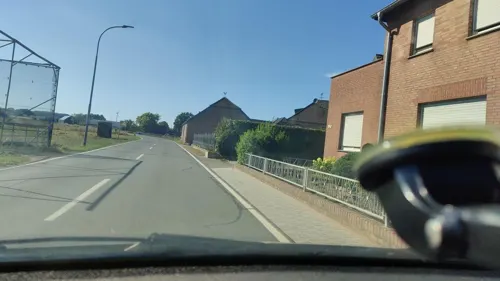
Gartenbau Hoffmann
Farm and orchard · 4.1 km
2 Ribbrockerweg, Wachtendonk
von April bis Anfang Oktober: Mo., Di., Do., Fr.: 8.00 Uhr bis...
Hofladen Mattjias Willen - Kösterhof
Farm and orchard · 5.9 km
1 Leuther Straße, Straelen
Mo-Fr 07:00-18:30; Sa 07:00-16:00
Klosterhof Spargel
Farm and orchard · 0.8 km
1 Zand, Straelen
Mo-Fr 08:30-18:00; Sa 08:00-16:00; Su,PH 09:00-13:00
Naturkost Schniedershof
Farm and orchard · 6.8 km
9 Heiligenhäuschenweg, Wachtendonk
Mo - Do von 9:00 - 15:00 Uhr und Fr. bis 18:00 Uhr In den...
Orchideen-Bremkens
Farm and orchard · 7.1 km
119 Walbecker Straße, Geldern
Fr 09:00-18:00; Sa 09:00-13:00
Rosen Kretz
Farm and orchard · 3.0 km
13 Passerweg, Straelen
Mo-Fr 08:00-12:00,13:00-18:00; Sa 08:00-13:00
18 more on the map.
Museums and landmarks162

Altes Pastorat
Monument and historic site · 6.3 km
Ältestes Walbecker Haus. Dreigeschossiges Backsteinhaus mit Satteldach, Erd- und 1. Obergeschoss dicht übereinander, 2.Obergeschoss...
4 Boursstraße, Geldern

Haus Bellinghoven
Monument and historic site · 5.3 km
Eingeschossige Herrenhaus, Mauerwerk aus Backstein hell verputzt mit barocken Schweifgiebeln; Festes Haus 1247. geldrisches Lehen



Herrenhaus Eyll
Monument and historic site · 2.9 km
Zweigeschossiges Herrenhaus mit Walmdach; erwähnt C15


Haus Diesdonk
Monument and historic site · 6.9 km
61 Venloer Straße, Geldern

Haus Ingenray
Monument and historic site · 5.6 km
22 Möhlendyck, Geldern
Maislabyrinth / Bootsverleih Holleshof
Monument and historic site · 7.1 km
2 Schlecker Deich, Wachtendonk

Nettemündung
Monument and historic site · 5.0 km
Hier mündet die Nette in die Niers

Schanze
Monument and historic site · 5.0 km
Südlich des Kanals; eine der 25 Schanzen, welche zum Schutz des Baus der Fossa Eugeniana errichtet wurden
150 more on the map.
Parks, trails and playgrounds23



wasserstraelen
Sports field and stadium · 1.3 km
100 Lingsforter Straße, Straelen
Tu,Th 09:00-21:00; We,Fr 07:00-21:00; Sa,Su,PH 09:00-18:00; Mo off

11 more on the map.
Restaurants and cafes79

KEIO Gourmet
Restaurant · Chinese, Japanese, Mongolian · 7.1 km
110 Klever Straße, Kerken
Mo,We-Sa 11:30-15:00,17:30-22:30; Su,PH 11:30-22:30; Tu off
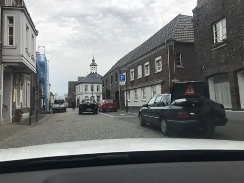
Pizzeria La Vesuvio
Restaurant · Italian, Pizza, Pasta, Salad · 6.1 km
18 Feldstraße, Wachtendonk
Mo off; Tu-Fr 15:00-22:00; Sa-Su 13:00-22:00
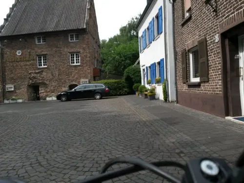
Ristorante Pulverturm da Francesco
Restaurant · Italian · 6.3 km
12 Am Pulverturm, Wachtendonk
Mo,We-Sa 17:00-22:00; Su,PH 12:00-15:00, 17:00-21:00; Tu off

Bauerncafé Jacobs Straelen am Schmuggelpfad
Cafe · 3.6 km
35 Grenzweg, Straelen
Tu-Sa 13:00-19:00; Su 10:00-19:00
Bäckerei & Mühlencafé Hoenen
Cafe · 5.6 km
1 Gebrüder-Funcken-Straße, Wachtendonk
Mo-Fr 06:00-19:00; Sa 06:00-17:00; Su 07:30-16:00
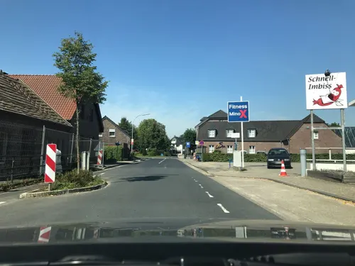
Café Kälberstall
Cafe · 6.9 km
2 Kusenweg, Wachtendonk
Th 15:00-19:00; Sep-May: Fr 15:00-19:00, Sa 09:00-19:00; Jun-Aug:...



Jagersrust
Restaurant · Ice Cream, International, Pancake, Savory Pancakes · 3.7 km
We-Fr 11:00-20:00; Sa 11:00-20:00; Su 10:00-20:00
67 more on the map.
Where to stay14
Churches and places of worship26
Shopping19
Gas and EV charging23
Schools, colleges and libraries16
Michael-Schule, katholische Grundschule
School · Catholic · 6.3 km
1 Moorenstraße, Wachtendonk
St. Martin-Schule, katholische Grundschule Wachtendonk
School · Catholic · 5.4 km
2 Schulhof, Wachtendonk
Healthcare7
Dr. med. Martin Reich und Dr. med. Irini Voßmeyer
Clinic and pharmacy
20 Venloer Straße, Straelen
Map of Straelen
250 places. The map loads OpenStreetMap tiles when you open it.
Getting there and nearby towns
Airport Weeze (NRN) is the nearest airport with scheduled flights listed in OpenStreetMap, 20 km away.
- Tönisvorst 21 km southeast, about 21 min by car
- Weeze 21 km north, about 21 min by car
- Krefeld 23 km southeast, about 23 min by car
- Viersen 23 km southeast, about 23 min by car
- Moers 25 km east, about 25 min by car
- Willich 28 km southeast, about 28 min by car
- Xanten 27 km northeast, about 27 min by car
- Mönchengladbach 31 km southeast, about 31 min by car
- Duisburg 35 km east, about 35 min by car
- Voerde 34 km northeast, about 34 min by car
Drive times are estimates from straight-line distance, not routes.
Local news
Headlines from INDB.
Reviews, tips and questions
Loading what members have shared...
Sources and licences
- GeoNames (CC BY 4.0): population, coordinates, regions and time zone
- Mapillary (see each image): photos
- OpenStreetMap contributors (ODbL 1.0): places, airports, map data
- Wikidata (CC0 1.0): elevation, founding date, time zone, website
- Wikimedia Commons (see each image): photos
- Wikipedia (CC BY-SA 4.0): overview and history text
Photo credits
- Straelen Annastraße 4 Baudenkmal, Graph Pixel, CC0
- Straelen Johann-Giesberts-Platz3 Baudenkmal, Graph Pixel, CC0
- Stolpersteinlage Straelen Venloer Straße 24, Gmbo 2013, CC0
- Stolpersteine Straelen Venloer Straße 24, Gmbo 2013, CC0
- Stolperstein Straelen Venloer Straße 24 Eduard Mendel, Gmbo 2013, CC0
- Straelen Bahnstraße 14 Baudenkmal, Graph Pixel, CC0
- Straelen Bahnstraße 18 Baudenkmal, Graph Pixel, CC0
- Straelen 2016 0006, Klaus Graf, CC BY-SA 3.0
- Straelen 2016 0007, Klaus Graf, CC BY-SA 3.0
- Straelen 2016 0024, Klaus Graf, CC BY-SA 3.0
- Straelen 2016 0025, Klaus Graf, CC0
- Straelen 2016 0026, Klaus Graf, CC BY-SA 3.0
- Straelen 2016 0005, Klaus Graf, CC BY-SA 3.0
- Straelen 2016 0004, Klaus Graf, CC BY-SA 3.0
- Straelen 2016 0018, Klaus Graf, CC BY-SA 3.0
- Straelen 2016 0012, Klaus Graf, CC BY-SA 3.0
- Straelen 2016 0019, Klaus Graf, CC BY-SA 3.0
- Straelen 2016 0022, Klaus Graf, CC0
- Straelen 2016 0023, Klaus Graf, CC BY-SA 3.0
- Straelen 2016 0017, Klaus Graf, CC BY-SA 3.0
- Straelen 2016 0015, Klaus Graf, CC BY-SA 3.0
- Straelen 2016 0016, Klaus Graf, CC BY-SA 3.0
- Straelen 2016 0014, Klaus Graf, CC BY-SA 3.0
- Straelen 2016 0021, Klaus Graf, CC BY-SA 3.0
- Straelen Stadhuis en Grassofa, flamenc, CC BY-SA 3.0
- Straelen 2016 0029, Klaus Graf, CC BY-SA 3.0
- Straelen 2016 0020, Klaus Graf, CC BY-SA 3.0
- Straelen 2016 0010, Klaus Graf, CC BY-SA 3.0
- Straelen 2016 0009, Klaus Graf, CC BY-SA 3.0
- Straelen 2016 0010 (cropped Orgel), Klaus Graf, CC BY-SA 3.0
- Straelen 2016 0011, Klaus Graf, CC BY-SA 3.0
- Straelen 2016 0008, Klaus Graf, CC BY-SA 3.0
- Straelen 2016 0036, Klaus Graf, CC BY-SA 3.0
- Straelen 2016 0035, Klaus Graf, CC BY-SA 3.0
- Straelen Bücherschrank Marktplatz, Graph Pixel, CC0
- Stolpersteinlage Straelen Mühlenstraße 10, Gmbo 2013, CC0
- Straelen 2016 0030, Klaus Graf, CC BY-SA 3.0
- Stadhuis Straelen, flamenc, CC BY-SA 3.0
- Stolpersteine Straelen Mühlenstraße 10, Gmbo 2013, CC0
- Straelen, kerk vanaf centraal plein foto1 2010-05-05 18.10, Michielverbeek, CC BY-SA 3.0
- Nette, NSG Krickenbecker Seen IMGP0301, gheeke, CC BY-SA 2.0
- Diesdonk-Sammlung Duncker (5413568), Alexander Duncker, Public domain
- Geldern Walbeck - Steprather Mühle 01 ies, Frank Vincentz, CC BY-SA 3.0
- Geldern Baudenkmal GE10029 Pfarrkirche Nikolaus, Rudolfo42, CC BY-SA 4.0
- Kath. Kirche St. Georg in Holt - panoramio, Edgar El, CC BY 3.0
- Dietrich-Bonhoeffer-Kirche Straelen, Knusperweizen, CC BY-SA 3.0
- Geldern Baudenkmal GE10129 Altes Pastorat, Rudolfo42, CC BY-SA 4.0
- Staelen - Haus Caen 02 ies, Frank Vincentz, CC BY-SA 3.0
- Straelen 2016 0052, Klaus Graf, CC BY-SA 3.0
- Eugeniana02, Markus Schweiss, CC BY-SA 3.0
- Haus Ingenray, Geldern-Pont, Chirograph, CC BY-SA 4.0
- Street-level photo, LouCipher, CC BY-SA 4.0
- Street-level photo, saschahaberkorn, CC BY-SA 4.0
- Street-level photo, poxonline, CC BY-SA 4.0
- Street-level photo, saschahaberkorn, CC BY-SA 4.0
- Street-level photo, rausk, CC BY-SA 4.0
- Street-level photo, joopjrvdl, CC BY-SA 4.0
- Street-level photo, joopjrvdl, CC BY-SA 4.0
- Street-level photo, joopjrvdl, CC BY-SA 4.0
- Street-level photo, jenz, CC BY-SA 4.0
- Street-level photo, saschahaberkorn, CC BY-SA 4.0
- Street-level photo, joopjrvdl, CC BY-SA 4.0
- Street-level photo, saschahaberkorn, CC BY-SA 4.0
- Street-level photo, saschahaberkorn, CC BY-SA 4.0
- Street-level photo, poxonline, CC BY-SA 4.0
- Street-level photo, poxonline, CC BY-SA 4.0
- Street-level photo, poxonline, CC BY-SA 4.0
- Street-level photo, LouCipher, CC BY-SA 4.0


Page built November 8, 2026. Spotted a mistake? Tell us or suggest a place.