


Nordwalde, Germany
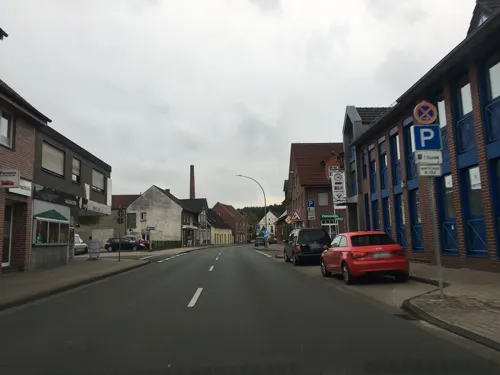
Nordwalde is a town of 9,453 people in North Rhine-Westphalia, Germany.
Why visit Nordwalde
Townapedia lists 25 museums and landmarks, 24 parks and trails, 37 places to eat, 7 places to stay and 3 attractions in and around town.
Highlights include Hofladen Entrup 119, Averbeck's Eierhütte, Eiskeller Altenberge and Geo-Museum Zurholt.
Weather in Nordwalde
Forecast from MET Norway (CC BY 4.0). Full forecast
About Nordwalde
Nordwalde (literally: north woods) is a municipality in the district of Steinfurt, in North Rhine-Westphalia, Germany.
From the Wikipedia article Nordwalde (this version), under CC BY-SA 4.0.
Things to do3

Averbeck's Eierhütte
Farm and orchard · 1.0 km
In der EIER HÜTTE können Sie neben Eiern auch Kartoffeln und frische Kräuter zum selber schneiden kaufen. Das Angebot wird saisonal...
10 Kirchbauerschaft, Nordwalde
24/7
Museums and landmarks25

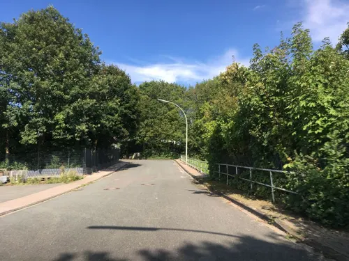
Geo-Museum Zurholt
Museum · 4.9 km
Steinemuseum - Museum für regionale Geologie und Klimageschichte
8 Lindenstraße, Altenberge


13 more on the map.
Parks, trails and playgrounds24



12 more on the map.
Restaurants and cafes37
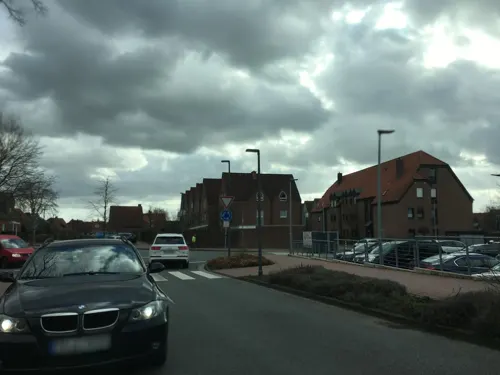

Lintel's Kotten
Restaurant · Regional · 6.2 km
18 Hollingen, Emsdetten
Mo-We,Sa 14:00-22:00; Su 11:00-22:00; Th closed; Fr 18:00-22:00
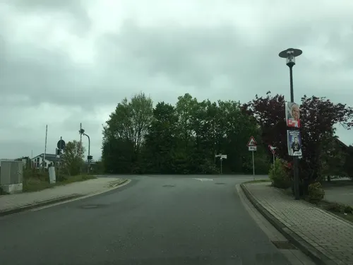
Parkhotel Nuyken
Bar and pub · German, Regional · 1.6 km
121 Bahnhofstraße, Nordwalde
Tu-Su 17:00-23:00

Bauernhofcafé Bönstrup
Cafe · 5.0 km
6 Westeroder Straße, Greven
We-Th 14:00-18:00; Sa 14:00-18:00; Su 09:30-12:00, 14:00-18:00
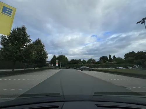
Essmann's Backstube
Bakery · 4.7 km
23 Münsterstraße, Altenberge
Mo-Fr 06:30-21:00; Sa 06:30-21:00; Su 07:00-17:00; PH off
Landbäckerei Elshoff
Bakery · 3.7 km
2 An der Alten Molkerei, Altenberge
Mo-Fr 06:00-18:30; Sa 06:00-13:00; Su 07:00-12:00; PH off


25 more on the map.
Where to stay7
Hotel und Restaurant Wermelt
Motel and hotel · 5.4 km
160 Nordwalder Straße, Greven
Churches and places of worship6
Shopping12
Gas and EV charging9
Schools, colleges and libraries7
Healthcare4
Map of Nordwalde
134 places. The map loads OpenStreetMap tiles when you open it.
Getting there and nearby towns
Münster Osnabrück Airport (FMO) is the nearest airport with scheduled flights listed in OpenStreetMap, 15 km away.
- Greven 8 km east, about 8 min by car
- Emsdetten 10 km north, about 10 min by car
- Havixbeck 12 km south, about 12 min by car
- Steinfurt 12 km northwest, about 12 min by car
- Saerbeck 14 km northeast, about 14 min by car
- Münster 17 km southeast, about 17 min by car
- Billerbeck 18 km southwest, about 18 min by car
- Schöppingen 17 km west, about 17 min by car
- Wettringen 18 km northwest, about 18 min by car
- Nottuln 19 km southwest, about 19 min by car
Drive times are estimates from straight-line distance, not routes.
Local news
Headlines from INDB.
Reviews, tips and questions
Loading what members have shared...
Sources and licences
- GeoNames (CC BY 4.0): population, coordinates, regions and time zone
- Mapillary (see each image): photos
- OpenStreetMap contributors (ODbL 1.0): places, airports, map data
- Wikidata (CC0 1.0): elevation, founding date, time zone, website, landmarks and historic places
- Wikimedia Commons (see each image): photos
- Wikipedia (CC BY-SA 4.0): overview and history text
Photo credits
- Gangolfgrundschule Nordwalde, Photographiert von Philipp Neuhaus, [email protected], CC BY-SA 2.5
- Nordwalde, Gut Althaus -- 2014 -- 2532, Dietmar Rabich, CC BY-SA 4.0
- Nordwalde, St.-Dionysius-Kirche -- 2014 -- 2554, Dietmar Rabich, CC BY-SA 4.0
- Nordwalde, St.-Franziskus-Haus -- 2014 -- 2553, Dietmar Rabich, CC BY-SA 4.0
- Nordwalde, St.-Dionysius-Kirche -- 2014 -- 2555, Dietmar Rabich, CC BY-SA 4.0
- Nordwalde, St.-Franziskus-Haus -- 2014 -- 2556, Dietmar Rabich, CC BY-SA 4.0
- Nordwalde, St.-Franziskus-Haus -- 2014 -- 2552, Dietmar Rabich, CC BY-SA 4.0
- Nordwalde, Umland -- 2014 -- 2533, Dietmar Rabich, CC BY-SA 4.0
- Nordwalde, St.-Franziskus-Haus -- 2014 -- 2551, Dietmar Rabich, CC BY-SA 4.0
- Nordwalde, St.-Franziskus-Haus -- 2014 -- 2550, Dietmar Rabich, CC BY-SA 4.0
- Nordwalde, St.-Dionysius-Kirche -- 2014 -- 2557, Dietmar Rabich, CC BY-SA 4.0
- Nordwalde, St.-Franziskus-Haus -- 2014 -- 2549, Dietmar Rabich, CC BY-SA 4.0
- Nordwalde, St.-Dionysius-Kirche -- 2014 -- 2558, Dietmar Rabich, CC BY-SA 4.0
- Nordwalde, St.-Franziskus-Haus -- 2014 -- 2559, Dietmar Rabich, CC BY-SA 4.0
- Nordwalde, Ortsansicht -- 2014 -- 2548, Dietmar Rabich, CC BY-SA 4.0
- Nordwalde, St.-Franziskus-Haus -- 2014 -- 2560, Dietmar Rabich, CC BY-SA 4.0
- Nordwalde, St.-Franziskus-Haus -- 2014 -- 2547, Dietmar Rabich, CC BY-SA 4.0
- Nordwalde, St.-Franziskus-Haus -- 2014 -- 2547 -- Ausschnitt, Dietmar Rabich, CC BY-SA 4.0
- Nordwalde, St.-Franziskus-Haus -- 2014 -- 2561, Dietmar Rabich, CC BY-SA 4.0
- Nordwalde, St.-Dionysius-Kirche -- 2014 -- 2546 -- Ausschnitt, Dietmar Rabich, CC BY-SA 4.0
- Nordwalde, St.-Dionysius-Kirche -- 2014 -- 2546, Dietmar Rabich, CC BY-SA 4.0
- Nordwalde, Kardinal-von-Galen-Gesamtschule -- 2014 -- 2562, Dietmar Rabich, CC BY-SA 4.0
- Nordwalde, Kardinal-von-Galen-Gesamtschule -- 2014 -- 2563, Dietmar Rabich, CC BY-SA 4.0
- Nordwalde, Kardinal-von-Galen-Gesamtschule -- 2014 -- 2563 -- Ausschnitt, Dietmar Rabich, CC BY-SA 4.0
- Nordwalde, St.-Franziskus-Haus -- 2014 -- 2564, Dietmar Rabich, CC BY-SA 4.0
- Nordwalde, Kardinal-von-Galen-Gesamtschule -- 2014 -- 2545, Dietmar Rabich, CC BY-SA 4.0
- Nordwalde, St.-Dionysius-Kirche -- 2014 -- 2571, Dietmar Rabich, CC BY-SA 4.0
- Nordwalde, St.-Dionysius-Kirche -- 2014 -- 2565, Dietmar Rabich, CC BY-SA 4.0
- Nordwalde, St.-Franziskus-Haus -- 2014 -- 2570, Dietmar Rabich, CC BY-SA 4.0
- Nordwalde, Kulturinsel Bispinghof -- 2014 -- 2566, Dietmar Rabich, CC BY-SA 4.0
- Nordwalde, Kulturinsel Bispinghof -- 2014 -- 2567 -- Ausschnitt, Dietmar Rabich, CC BY-SA 4.0
- Nordwalde, Kulturinsel Bispinghof -- 2014 -- 2567, Dietmar Rabich, CC BY-SA 4.0
- Nordwalde, Kulturinsel Bispinghof -- 2014 -- 2569, Dietmar Rabich, CC BY-SA 4.0
- Borghorst Kirche Villa Fleiter Musikschule Marienschule, Derburgimwalder, CC BY-SA 3.0
- Katholische Kirche Nordwalde, Photographiert von Philipp Neuhaus, [email protected], CC BY 2.5
- ALtenbergeHansellNepomukkirche4, Netzhering, CC BY-SA 3.0
- UebersichtEiskammerEiskellerAltenberge, Philipp Neuhaus, CC BY-SA 2.5
- Naturschutzgebiet Feuchtwiese Hansell 3, Boejoemoe, CC BY-SA 3.0
- Altenberge, Hansell, St.-Johannes-Nepomuk-Kirche -- 2014 -- 2584 -- Ausschnitt, Dietmar Rabich, CC BY-SA 4.0
- Altenberge - Gooiker Platz - Eiskeller 06 ies, Frank Vincentz, CC BY-SA 3.0
- Street-level photo, descilla, CC BY-SA 4.0
- Street-level photo, descilla, CC BY-SA 4.0
- Street-level photo, descilla, CC BY-SA 4.0
- Street-level photo, descilla, CC BY-SA 4.0
- Street-level photo, descilla, CC BY-SA 4.0
- Street-level photo, descilla, CC BY-SA 4.0
- Street-level photo, descilla, CC BY-SA 4.0
- Street-level photo, descilla, CC BY-SA 4.0
- Street-level photo, descilla, CC BY-SA 4.0
- Street-level photo, descilla, CC BY-SA 4.0
- Street-level photo, descilla, CC BY-SA 4.0
- Street-level photo, descilla, CC BY-SA 4.0
- Street-level photo, descilla, CC BY-SA 4.0
- Street-level photo, descilla, CC BY-SA 4.0
- Street-level photo, descilla, CC BY-SA 4.0
- Street-level photo, descilla, CC BY-SA 4.0
- Street-level photo, descilla, CC BY-SA 4.0
- Street-level photo, descilla, CC BY-SA 4.0
- Street-level photo, descilla, CC BY-SA 4.0
- Street-level photo, descilla, CC BY-SA 4.0
- Street-level photo, descilla, CC BY-SA 4.0
- Street-level photo, descilla, CC BY-SA 4.0
- Street-level photo, descilla, CC BY-SA 4.0


Page built November 9, 2026. Spotted a mistake? Tell us or suggest a place.