


Emsdetten, Germany
Emsdetten is a town of 35,582 people in North Rhine-Westphalia, Germany.
Why visit Emsdetten
Townapedia lists 20 museums and landmarks, 67 parks and trails, 134 places to eat, 9 places to stay and 9 attractions in and around town.
Highlights include Freilichtbühne Reckenfeld, Regiobox Linderskamp's Hof, Wannenmacher Museum and August Holländer Museum.
Weather in Emsdetten
Forecast from MET Norway (CC BY 4.0). Full forecast
About Emsdetten
Emsdetten (German pronunciation: [ɛmsˈdɛtn̩] ; Westphalian: Detten) is a town in the district of Steinfurt, in North Rhine-Westphalia, Germany.
From the Wikipedia article Emsdetten (this version), under CC BY-SA 4.0.
Photos of Emsdetten


Things to do9




Museums and landmarks20



Kriegerehrenmal der Isendorf-Veltruper Schützengesellschaft
Monument and historic site · 3.1 km
17 gegenüber Veltrup, Emsdetten
8 more on the map.
Parks, trails and playgrounds67



Hallenbad Mesum
Sports field and stadium · 6.7 km
55 Hassenbrockweg, Rheine
Mo-Fr 09:00-18:00; Sa 09:00-12:00



55 more on the map.
Restaurants and cafes134
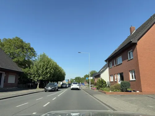
Asia Wok Sushi Rheine
Restaurant · Asian · 6.4 km
130 Burgsteinfurter Damm, Rheine
Mo 17:00-21:00; We-Sa 17:00-21:00; Su 15:00-21:00
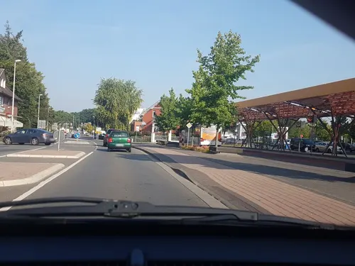
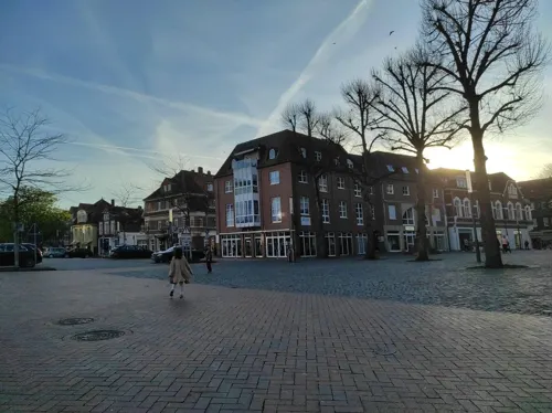
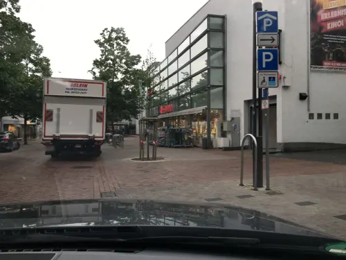
Café Liesenkötter
Cafe · Cake, Breakfast, Coffee Shop, Local
5 Bahnhofstraße, Emsdetten
Mo-Fr 06:30-18:30; Sa 07:00-17:00; Su 08:30-17:00

Landhaus Bruckmann GmbH & CO. KG
Restaurant · Burger, Regional · 7.1 km
8 Eichengrund, Saerbeck
Tu-Th 17:00-22:00;Fr-Sa 17:00-23:00
Hotel Restaurant Irodion
Restaurant · Greek · 4.0 km
31 Zur Freilichtbühne
We-Sa 17:30-22:30; Su 17:00-21:30
Lintel's Kotten
Restaurant · Regional · 4.3 km
18 Hollingen, Emsdetten
Mo-We,Sa 14:00-22:00; Su 11:00-22:00; Th closed; Fr 18:00-22:00
122 more on the map.
More about Emsdetten
Geography
Emsdetten is situated on the river Ems, approx. 13 kilometres (8 miles) south-east of Rheine and 25 km (16 mi) north-west of Münster.
From the Wikipedia article Emsdetten, under CC BY-SA 4.0.
Notable people from Emsdetten
 Valerie NiehausGerman actressPhoto: Martin Kraft, CC BY-SA 3.0
 Lutz AltepostGerman canoe racerPhoto: Oliver Strubel, CC BY-SA 3.0
 Linda EflerGerman badminton playerPhoto: Lanthan2003, CC BY 4.0
 Walt TkaczukCanadian ice hockey playerPhoto: New York Rangers / NHL, Public domain
 Franz HinkelammertLiberation theologistPhoto: Jim Finn, CC BY-SA 3.0
 Nicole WermersGerman artist (born 1971)Photo: portrait Peter Guenzel, artwork by..., CC BY-SA 4.0
 Christina Schulze FöckingGerman politicianPhoto: Foto-AG Melle, CC BY-SA 3.0 de
- Tim WieskötterOlympic canoeist
- Benny BehrlaGerman judoka
- Eugen BusmannGerman university professor
Born in Emsdetten, according to Wikidata (CC0). Each name links to its Wikipedia article.
Where to stay9
Churches and places of worship20
Heilig-Geist-Kirche
Church · Catholic · 1.7 km
10 Kirchplatz-Heilig-Geist, Emsdetten
Shopping44
Gas and EV charging15
Schools, colleges and libraries18
Healthcare13
Map of Emsdetten
250 places. The map loads OpenStreetMap tiles when you open it.
Getting there and nearby towns
Münster Osnabrück Airport (FMO) is the nearest airport with scheduled flights listed in OpenStreetMap, 12 km away.
- Saerbeck 7 km east, about 7 min by car
- Greven 10 km southeast, about 10 min by car
- Nordwalde 10 km south, about 10 min by car
- Birgte 12 km northeast, about 12 min by car
- Rheine 13 km northwest, about 13 min by car
- Steinfurt 13 km west, about 13 min by car
- Neuenkirchen 13 km northwest, about 13 min by car
- Hörstel 14 km north, about 14 min by car
- Altenberge 14 km south, about 14 min by car
- Wettringen 15 km west, about 15 min by car
Drive times are estimates from straight-line distance, not routes.
Towns near Emsdetten


Keep exploring
Local news
Headlines from INDB.
Reviews, tips and questions
Loading what members have shared...
Sources and licences
- GeoNames (CC BY 4.0): population, coordinates, regions and time zone
- Mapillary (see each image): photos
- OpenStreetMap contributors (ODbL 1.0): places, airports, map data
- Wikidata (CC0 1.0): elevation, founding date, time zone, website
- Wikimedia Commons (see each image): photos
- Wikipedia (CC BY-SA 4.0): overview and history text
Photo credits
- St. Marien Kirche Emsdetten, Ewe vonDetten, CC BY-SA 4.0
- Villa Schaub Emsdetten, Tohma ( talk ), CC BY-SA 4.0
- Kirchstraße St Pankratius Emsdetten, Tohma ( talk ), CC BY-SA 4.0
- Samstagnachmittag in Emsdetten - geo.hlipp.de - 10708, Udo und Joan Fugel on geo.hlipp.de, CC BY-SA 2.0
- St .Pankratius Emsdetten, Tohma ( talk ), CC BY-SA 4.0
- Gustav-Adolf-Kirche Emsdetten, Tohma ( talk ), CC BY-SA 4.0
- Herz-Jesu-Kirche in Emsdetten, Varus111, CC BY-SA 4.0
- Bahnhofsgebäude Emsdetten, Tohma ( talk ), CC BY-SA 4.0
- Bahnhof Emsdetten 2, Tohma ( talk ), CC BY-SA 4.0
- Helga goes shopping Christel Lechner Bahnhof Emsdetten, Tohma ( talk ), CC BY-SA 4.0
- Bahnhof Emsdetten Eurobahn, Tohma ( talk ), CC BY-SA 4.0
- Villa Heüveldop Lindenstraße 6 Emsdetten P4070328, Worldfootage, CC BY-SA 4.0
- Wohnhaus und Einfriedung Lindenstraße 8 Emsdetten P4070327, Worldfootage, CC BY-SA 4.0
- Emsaue emsdetten 05, ThoSha, CC BY-SA 3.0
- Emsaue emsdetten 07, ThoSha, CC BY-SA 3.0
- Emsaue emsdetten 06, ThoSha, CC BY-SA 3.0
- Emsaue emsdetten 04, ThoSha, CC BY-SA 3.0
- Bildstock (Kreuzigung - Grablegung) Emsdetten P4070326, Worldfootage, CC BY-SA 4.0
- Emsdetten St. Pankratius Kirche, Wolfnoah, CC BY-SA 4.0
- Zuschauerraum und Freilichtbühne Greven-Reckenfeld 2, TobiasHeuken, CC BY-SA 4.0
- Geschwister Scholl Realschule Emsdetten, Unknown author, CC BY-SA 3.0
- Evangelische Gustav-Adolf-Kirche, Emsdetten, Wolfnoah, CC BY-SA 4.0
- Herz-Jesu Kirche Emsdetten II, Derburgimwalder, CC BY-SA 3.0
- Wannenmacher Museum, Tomaz, Public domain
- Turm St. Johannes, Mesum, Westerdam, CC BY-SA 4.0
- St. Franziskuskirche in Reckenfeld 01, Bärbel Miemietz, CC BY-SA 4.0
- St Josef Kirche Emsdetten, Derburgimwalder, CC BY-SA 3.0
- Kath.Kirche und Gemeindezentrum Hl.Geist in Emsdetten, Hobusch, CC BY-SA 4.0
- 20150906 mk emsdettener venn 005, Kaiserm123, CC BY-SA 4.0
- Naturschutzgebiet Wiesen am Max Clemens Kanal 15, J.-H. Janßen, CC BY-SA 4.0
- Emsdetten Catholic Church Town Centre, NordhornerII, CC BY-SA 3.0
- Am Markt 01 - Rathaus, Ewe vonDetten, CC BY-SA 4.0
- WannenmacherMuseum-mit-Speicher, R.thomitzek, Public domain
- Bergstraße - St. Marien Kirche, Ewe vonDetten, CC BY-SA 4.0
- Street-level photo, hangy, CC BY-SA 4.0
- Street-level photo, hangy, CC BY-SA 4.0
- Street-level photo, hangy, CC BY-SA 4.0
- Street-level photo, kgvx, CC BY-SA 4.0
- Street-level photo, dezi, CC BY-SA 4.0
- Street-level photo, dezi, CC BY-SA 4.0
- Street-level photo, vladg73, CC BY-SA 4.0
- Street-level photo, GlitchHunter, CC BY-SA 4.0
- Street-level photo, dezi, CC BY-SA 4.0
- Street-level photo, GlitchHunter, CC BY-SA 4.0
- Street-level photo, kalla, CC BY-SA 4.0
- Street-level photo, hangy, CC BY-SA 4.0
- Street-level photo, peterossege, CC BY-SA 4.0
- Street-level photo, peterossege, CC BY-SA 4.0
- Street-level photo, bct, CC BY-SA 4.0
- Street-level photo, bct, CC BY-SA 4.0
- Street-level photo, peterossege, CC BY-SA 4.0
- Street-level photo, bct, CC BY-SA 4.0
- Street-level photo, hangy, CC BY-SA 4.0
- Street-level photo, ramap, CC BY-SA 4.0
- Street-level photo, hangy, CC BY-SA 4.0
- Street-level photo, nesshof, CC BY-SA 4.0
- Street-level photo, nesshof, CC BY-SA 4.0
- Street-level photo, dezi, CC BY-SA 4.0


Page built November 9, 2026. Spotted a mistake? Tell us or suggest a place.