


Perleberg, Germany
Perleberg is a town of 13,102 people in Brandenburg, Germany, founded in 1239.
Why visit Perleberg
Townapedia lists 13 museums and landmarks, 44 parks and trails, 45 places to eat, 9 places to stay and 3 attractions in and around town.
Highlights include Tierpark Perleberg, Moviestarkino Perleberg, Stadt- und Regionalmuseum Perleberg and DDR-Geschichtsmuseum.
Weather in Perleberg
Forecast from MET Norway (CC BY 4.0). Full forecast
About Perleberg
Perleberg (German: [ˈpɛʁləˌbɛʁk] ; North Margravian: Perlberg) is the capital of the district of Prignitz, located in the northwest of the German state of Brandenburg. As of 2022 it has about 12,000 inhabitants. Located in a mostly agricultural area, the town has a long history of troops (most notably Prussian) being stationed there and as an administrative center for local government.
From the Wikipedia article Perleberg (this version), under CC BY-SA 4.0.
Things to do3


Museums and landmarks13


Roland
Monument and historic site
Rolandstatue, Großer Markt in Perleberg


Preußischer Ganzmeilenstein
Monument and historic site · 9.2 km
Preußischer Ganzmeilenobelisk, an der B189, Perleberger Chaussee in Wittenberge.

Preußischer Meilenstein
Monument and historic site · 4.1 km
Preußischer Ganzmeilenstein an der B 5, zwischen Quitzow und Schönfeld, in Perleberg OT Quitzow.

Wachturm
Monument and historic site
Wachturm des ehemaligen Stadtmauerrings (nahe Wallgebäude) in Perleberg




Wasserstation
Monument and historic site · 0.7 km
Ehem. Lokschuppen mit Wasserstation in Perleberg
1 more on the map.
Parks, trails and playgrounds44


32 more on the map.
Restaurants and cafes45
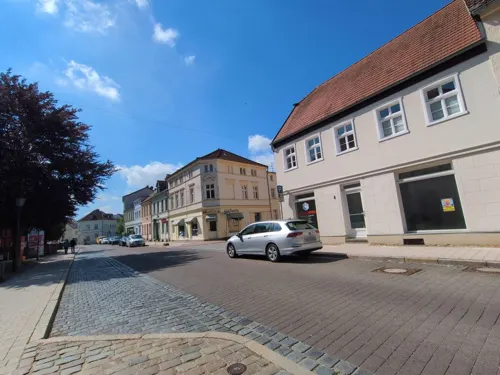
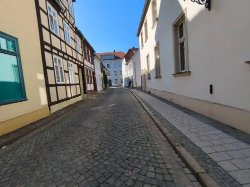
Akropolis
Restaurant · Greek
18 Großer Markt, Perleberg
Mo-Su 11:30-14:00,17:30-24:00
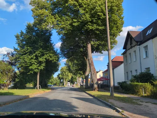
China-Haus
Restaurant · Asian · 1.3 km
30 Berliner Straße, Perleberg
Mo-Su 11:30-14:00, 17:30-21:00
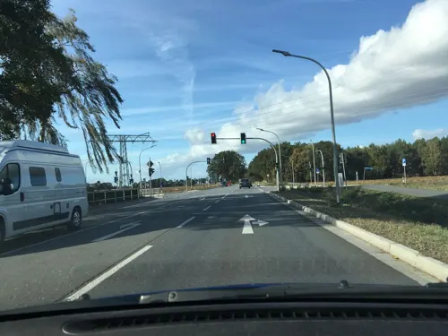

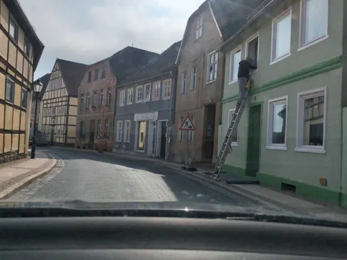
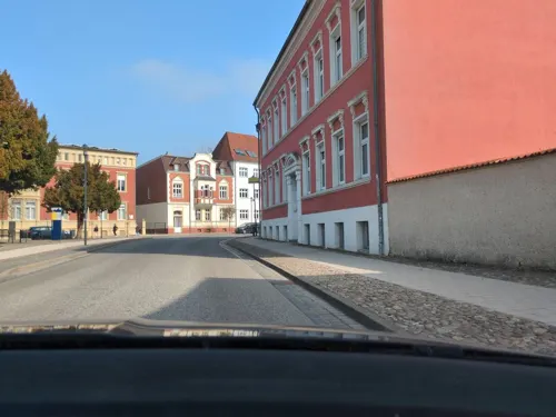


Lübzower Schweiz
Restaurant · German · 4.6 km
23 Dorfstraße, Perleberg
Tu-Fr 11:30-13:00; Mo off, Tu-Fr 17:00-18:00+, Sa 11:00-18:00+, Su...

33 more on the map.
History
One of the town's oldest buildings is St James's Church. First mentioned in 1294, it was frequently altered and extensively remodelled in the 1850s. In German, it is called the Jakobikirche, and therefore sometimes mistakenly called St Jacob's in English.
Perleberg received municipal rights in 1239. In the 14th century the town was at its height as part of the Hanseatic League. In 1523 it was the muster point for an army assembled by Elector Joachim I in support of his brother-in-law Christian II of Denmark's attempt to recover his throne. The Thirty Years' War caused serious damage to the town: of 3,500 inhabitants, only 300 survived. The mayor responsible for rebuilding the town after this period was Georg Krusemarck.
On November 25, 1809, Benjamin Bathurst disappeared in Perleberg. Later accounts of the incident exaggerated the circumstances to such an extent that the disappearance is sometimes claimed to have been caused by paranormal phenomena.
During the final stages of World War II, on 9 March 1945, Rosenhagen (present district) was the site of a stopover during the German-organised march of French prisoners of war from the Oflag II-B camp to the Oflag VI-A camp.
From the History section of Perleberg on Wikipedia, under CC BY-SA 4.0.
Where to stay9
Churches and places of worship25
Dorfkirche Gulow
Church · Protestant · 8.5 km
3 Gulower Hauptstraße, Groß Pankow (Prignitz)
Dorfkirche Kleinow
Church · Protestant · 7.2 km
29 Hauptstraße, Plattenburg
Dorfkirche Premslin
Church · Protestant · 7.7 km
2 Nebeliner Straße, Karstädt
Evangelische Kirche Glövzin
Church · Protestant · 8.2 km
42 Premsliner Straße, Karstädt
Shopping12
Gas and EV charging5
Schools, colleges and libraries6
Healthcare7
Map of Perleberg
169 places. The map loads OpenStreetMap tiles when you open it.
Getting there and nearby towns
Müritz Airpark (REB) is the nearest airport with scheduled flights listed in OpenStreetMap, 65 km away.
- Weisen 7 km southwest, about 7 min by car
- Breese 9 km southwest, about 9 min by car
- Wittenberge 11 km southwest, about 11 min by car
- Karstädt 12 km northwest, about 12 min by car
- Groß Pankow 14 km east, about 14 min by car
- Bad Wilsnack 15 km southeast, about 15 min by car
- Pritzwalk 23 km east, about 23 min by car
- Rathenow 61 km southeast, about 1 h by car
- Premnitz 69 km southeast, about 1 h 15 min by car
- Wittingen 85 km southwest, about 1 h 30 min by car
Drive times are estimates from straight-line distance, not routes.
Local news
Headlines from INDB.
Reviews, tips and questions
Loading what members have shared...
Sources and licences
- GeoNames (CC BY 4.0): population, coordinates, regions and time zone
- Mapillary (see each image): photos
- OpenStreetMap contributors (ODbL 1.0): places, airports, map data
- Wikidata (CC0 1.0): elevation, founding date, time zone, website
- Wikimedia Commons (see each image): photos
- Wikipedia (CC BY-SA 4.0): overview and history text
Photo credits
- Perleberg view to St Jakobi church, T.Voekler, CC BY-SA 3.0
- Perleberg, Schulgang 2011 - panoramio, Axel Bublitz, CC BY 3.0
- An der Buhne, Perleberg, Ocolon, CC BY-SA 3.0
- Gedenktafel Mönchort 7 (Perleberg) Brunnen, OTFW , Berlin, CC BY-SA 3.0
- Gedenktafel Mönchort 7 (Perleberg) Lotte Lehmann, OTFW , Berlin, CC BY-SA 3.0
- Gedenktafel Mönchort 7 (Perleberg) Museum Perleberg, OTFW , Berlin, CC BY-SA 3.0
- Gedenktafel Schulgang (Perleberg) Stadtmauer, OTFW , Berlin, CC BY-SA 3.0
- Wollweberstraße 7 Perleberg, Clemensfranz, CC BY-SA 3.0
- Kirchplatz 6, Perleberg (Detail), Martin Janecke, CC BY-SA 3.0
- Perleberg 1969 - panoramio - Andris Malygin, Andris Malygin, CC BY 3.0
- SW Altstadt Perleberg von oben, Martin Janecke, CC BY-SA 3.0
- Kirchplatz 6, Perleberg, Martin Janecke, CC BY-SA 3.0
- Krämerstraße, Perleberg, Martin Janecke, CC BY-SA 3.0
- Bäckerstraße 1 Perleberg, Clemensfranz, CC BY-SA 3.0
- St. Jakobi (Perleberg)-4 Turm, Urphoto, CC BY-SA 4.0
- St. Jakobi (Perleberg)-3 Leuchter, Urphoto, CC BY-SA 4.0
- St. Jakobi (Perleberg)-2 Gewoelbe, Urphoto, CC BY-SA 4.0
- St. Jakobi (Perleberg)-1 Tor, Urphoto, CC BY-SA 4.0
- Perleberg, the organ of the church St. Jakobi, Dguendel, CC BY 3.0
- Gedenktafel Bäckerstr 1 (Perleberg) Bäckerstraße 1, OTFW , Berlin, CC BY-SA 3.0
- Mauerstraße, Perleberg, Martin Janecke, CC BY-SA 3.0
- Rathaus Rückseite Perleberg, Clemensfranz, CC BY-SA 4.0
- Rathaus Rückseite Perleberg (bearb Sp), Clemensfranz, CC BY-SA 4.0
- Perleberg, the altar of the church St. Jakobi, Dguendel, CC BY 3.0
- Perleberg, the pulpit of the church St. Jakobi, Dguendel, CC BY 3.0
- Gedenktafel Kirchplatz (Perleberg) St Jacobi, OTFW , Berlin, CC BY-SA 3.0
- Kirchplatz 12 Perleberg, Clemensfranz, CC BY-SA 3.0
- Kirchplatz 10 Perleberg, Clemensfranz, CC BY-SA 3.0
- Kirchplatz 11 Perleberg, Clemensfranz, CC BY-SA 3.0
- Tierpark Perleberg 2, Yoursmile, CC0
- Perleberger Rathaus und Kirche, Yoursmile, CC0
- Rolandschule Perleberg, Yoursmile, CC0
- Gottfried-Arnold-Gymnasium Haus I, Majo19348, CC BY-SA 4.0
- Kirche dergenthin 2, Yoursmile, CC0
- Kirche spiegelhagen 3, Yoursmile, CC0
- Kirche groß buchholz 5, Yoursmile, CC0
- Burghagen Kirche 3, Yoursmile, CC0
- Gr. Gottschow463Kirchturm v SO m etwas Schiff, Ulamm ( talk ), CC BY-SA 4.0
- Kleinow Kirche 5, Yoursmile, CC0
- Kirche Gross Breese2, Lars Görlitz, CC BY-SA 3.0
- Dorfkirche Gulow 2017 N, Hans G. Oberlack, CC BY-SA 4.0
- Kirche Gloevzin, Niteshift, CC BY 2.5
- Premslin-Kirche-Vorderansicht, Logopin, CC BY 3.0
- Deutscher-kaiser 1, Yoursmile, CC0
- Wittenberge Preussischer Ganzmeilenobelisk, Radler59 ( talk ), CC BY-SA 4.0
- Meilenstein quitzow 1, Yoursmile, CC0
- Perleberg Wachturm, Doris Antony , Berlin, CC BY-SA 3.0
- Perleberg Bahnhof Wasserturm, Oberlausitzerin64, CC BY-SA 4.0
- B 5 Kilometerstein Kleinow 5, Yoursmile, CC0
- Duepow Kirche, Radler59 ( talk ), CC BY-SA 4.0
- Perleberger Museum 2, Yoursmile, CC0
- Perleberg Roland-01, Radler59 ( talk ), CC BY-SA 4.0
- Perleberg Wasserstation Lokschuppen, Oberlausitzerin64, CC BY-SA 4.0
- Street-level photo, danko, CC BY-SA 4.0
- Street-level photo, danko, CC BY-SA 4.0
- Street-level photo, danko, CC BY-SA 4.0
- Street-level photo, danko, CC BY-SA 4.0
- Street-level photo, danko, CC BY-SA 4.0
- Street-level photo, hotteliene, CC BY-SA 4.0
- Street-level photo, danko, CC BY-SA 4.0
- Street-level photo, danko, CC BY-SA 4.0
- Street-level photo, danko, CC BY-SA 4.0
- Street-level photo, danko, CC BY-SA 4.0
- Street-level photo, danko, CC BY-SA 4.0
- Street-level photo, hotteliene, CC BY-SA 4.0
- Street-level photo, danko, CC BY-SA 4.0
- Street-level photo, danko, CC BY-SA 4.0
- Street-level photo, danko, CC BY-SA 4.0
- Street-level photo, dsmm, CC BY-SA 4.0
- Street-level photo, wentus, CC BY-SA 4.0


Page built November 8, 2026. Spotted a mistake? Tell us or suggest a place.