


Why visit Premnitz
Townapedia lists 8 museums and landmarks, 17 parks and trails, 16 places to eat, 9 places to stay and 13 attractions in and around town.
Highlights include Bützer Berg, Dachsberg, NABU Besucherzentrum and Schwedenhaus.
Weather in Premnitz
Forecast from MET Norway (CC BY 4.0). Full forecast
About Premnitz
Premnitz (German: [ˈpʁɛmnɪts] ) is a town in the Havelland district, in Brandenburg, Germany. It is situated on the river Havel, 8 km south of Rathenow, 21 km northwest of Brandenburg, and is only 75 km west of central Berlin, to where it is well connected by the railway and road networks. The surrounding landscape is very rural and forested in its make up.
From the Wikipedia article Premnitz (this version), under CC BY-SA 4.0.
Things to do13

1 more on the map.
Museums and landmarks8
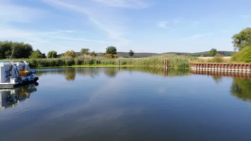
NABU Besucherzentrum
Monument and historic site · 2.2 km
NABU-Besucherzentrum im Naturpark Westhavelland Auf über 200 Quadratmetern Ausstellungsfläche können sich Besucher in Milow einen...
Apr-Oct: Mo-Su 10:00-17:00; We off "in den Brandenburger Ferien...

Schwedenhaus
Monument and historic site · 4.2 km
Gutsverwalterhaus
10 Im Böhner Winkel, Rathenow


Villa am See - Galerie Behrens und Hopkins
Museum · 1.3 km
1 Mozartstraße, Premnitz
Parks, trails and playgrounds17






5 more on the map.
Restaurants and cafes16
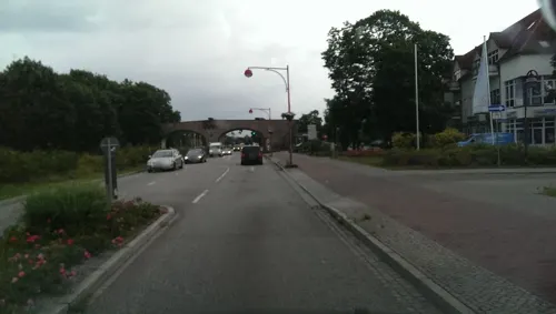
Café Schillerlocke - Bäcker THONKE
Bakery · Coffee Shop
1 Schillerstraße, Premnitz
Mo-Fr 05:30-18:30; Sa 06:30-18:00; Su 07:00-18:00
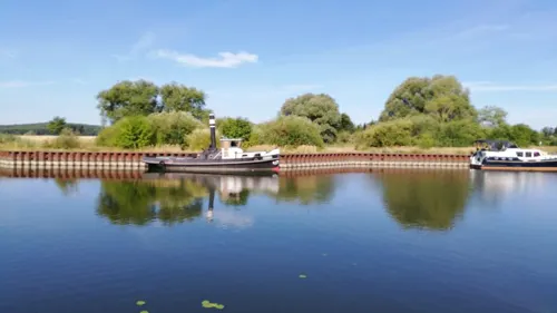

Singer's Hof-Café
Cafe · 2.8 km
15 Bergstraße, Milower Land
Apr-Sep: Mo-Fr 11:00+; Sa,Su 13:00+; Tu,We off; Oct-Mar: 13:00+; Tu,We off
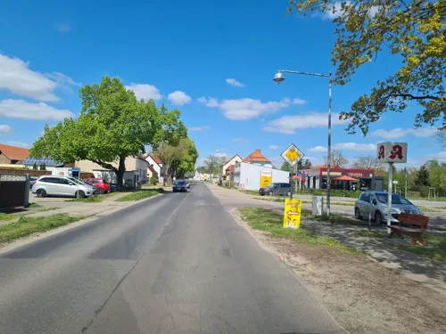
Thonke
Cafe · 2.2 km
106 Friedensstraße, Milower Land
Mo-Fr 06:00-18:00; Sa 06:00-16:00; Su 07:00-10:30
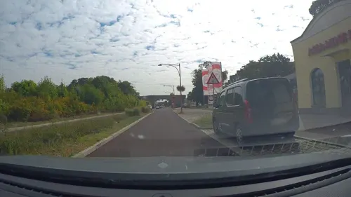
Asia Minh Hong
Restaurant · Vietnamese
20 Heinrich-Heine-Straße, Premnitz
Mo-Fr 10:00-20:00; Su 11:00-20:00

The Corner Premnitz
Bar and pub · Ice Cream
Mo,We,Th 17:00-22:00; Fr,Sa 17:00+; Su 17:00-21:00; Tu off
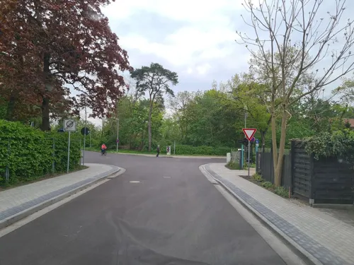


Café am See - Inh. Ralf Kose
Restaurant · Regional · 1.0 km
1 A Karl-Marx-Straße, Premnitz


4 more on the map.
Where to stay9
Super Bowl Premnitz - Hotel
Motel and hotel · 1.3 km
24 Karl-Marx-Straße, Premnitz
Churches and places of worship10
Dorfkirche Döberitz
Church · Protestant · 1.8 km
5a Dorfplatz, Premnitz
Dorfkirche Mögelin
Church · Protestant · 3.8 km
17 Kirchplatz, Premnitz
Dorfkirche Vieritz
Church · Protestant · 5.9 km
6a Genthiner Straße, Milower Land
Katholische Kirche St. Marien Premnitz
Church · Catholic · 0.7 km
46 Alte Hauptstraße, Premnitz
Evangelische Kirchengemeinde Milow
Church · Protestant · 2.1 km
3 Stremmestraße, Milower Land
Neuapostolische Kirche Premnitz
Church · New Apostolic
18 Alte Waldstraße, Premnitz
Shopping8
Gas and EV charging4
Schools, colleges and libraries5
Healthcare4
Apotheke im Gesundheitszentrum
Clinic and pharmacy
1 Gerhart-Hauptmann-Straße, Premnitz
Map of Premnitz
94 places. The map loads OpenStreetMap tiles when you open it.
Getting there and nearby towns
Berlin Brandenburg Airport "Willy Brandt" (BER) is the nearest airport with scheduled flights listed in OpenStreetMap, 80 km away.
- Rathenow 9 km north, about 9 min by car
- Potsdam 51 km east, about 51 min by car
- Velten 59 km east, about 59 min by car
- Stahnsdorf 61 km east, about 1 h by car
- Teltow 65 km east, about 1 h by car
- Magdeburg 66 km southwest, about 1 h by car
- Wittenberge 66 km northwest, about 1 h by car
- Pritzwalk 70 km north, about 1 h 15 min by car
- Berlin 72 km east, about 1 h 15 min by car
- Wandlitz 79 km east, about 1 h 15 min by car
Drive times are estimates from straight-line distance, not routes.
Local news
Headlines from INDB.
Reviews, tips and questions
Loading what members have shared...
Sources and licences
- GeoNames (CC BY 4.0): population, coordinates, regions and time zone
- Mapillary (see each image): photos
- OpenStreetMap contributors (ODbL 1.0): places, airports, map data
- Wikidata (CC0 1.0): elevation, founding date, time zone, website
- Wikimedia Commons (see each image): photos
- Wikipedia (CC BY-SA 4.0): overview and history text
Photo credits
- Rathaus Premnitz, Clemensfranz, CC BY-SA 3.0
- Kirche premnitz 2020-11-22 1, Z thomas, CC BY-SA 4.0
- Kulturhaus Premnitz, Clemensfranz, CC BY-SA 3.0
- Havel Denkmal Premnitz, Clemensfranz, CC BY-SA 3.0
- Havel flußabwärts Premnitz, Clemensfranz, CC BY-SA 3.0
- Premnitz, Germany - panoramio (3), Heiko Simon, CC BY 3.0
- Premnitz, Germany - panoramio (2), Heiko Simon, CC BY 3.0
- Havel flußaufwärts Premnitz, Clemensfranz, CC BY-SA 3.0
- Premnitz, Germany - panoramio, Heiko Simon, CC BY 3.0
- Premnitz, Germany - panoramio (1), Heiko Simon, CC BY 3.0
- Fabrikenstraße Verwaltungsgebäude hinten Premnitz, Clemensfranz, CC BY-SA 3.0
- Wandbild premnitz 2019-11-10, Z thomas, CC BY-SA 4.0
- Odf Gedenkstätte premnitz 2019-11-10, Z thomas, CC BY-SA 4.0
- Odf Gedenkstätte premnitz 2019-11-10 2, Z thomas, CC BY-SA 4.0
- Wandbild premnitz 2019-11-10 2, Z thomas, CC BY-SA 4.0
- Wasserturm Premnitz, Clemensfranz, CC BY-SA 3.0
- Premnitz Wasserturm, Oberlausitzerin64, CC BY-SA 4.0
- Fabrikenstraße Verwaltungsgebäude vorne Premnitz, Clemensfranz, CC BY-SA 3.0
- Naturschutzgebiet in Premnitz, Manuela Weise 2017, CC BY-SA 4.0
- Kirche premnitz 2020-11-22 6, Z thomas, CC BY-SA 4.0
- Kirche premnitz 2020-11-22 4, Z thomas, CC BY-SA 4.0
- Kirche premnitz 2020-11-22 2, Z thomas, CC BY-SA 4.0
- Kirche premnitz 2020-11-22 3, Z thomas, CC BY-SA 4.0
- Kirche premnitz 2020-11-22 5, Z thomas, CC BY-SA 4.0
- Graugänse an der havel, Gregor Rom, CC BY-SA 3.0 de
- Dorfkirche Bützer 2017 S, Hans G. Oberlack, CC BY-SA 4.0
- Dorfkirche Vieritz 2017 NE, Hans G. Oberlack, CC BY-SA 4.0
- Dorfkirche Döberitz (Premnitz) 2017 SE, Hans G. Oberlack, CC BY-SA 4.0
- Kirche Boehne 2011 01, Oweh28, CC BY-SA 3.0
- Dorfkirche Mögelin 2017 NW, Hans G. Oberlack, CC BY-SA 4.0
- Dorfkirche Milow (Havelland) 2017 SSE, Hans G. Oberlack, CC BY-SA 4.0
- Marienkirche Premnitz 2017 NE, Hans G. Oberlack, CC BY-SA 4.0
- RathenowBöhneSchwedenhaus, Global Fish, CC BY-SA 3.0
- Dorfkirche Mögelin 2017 SE, Hans G. Oberlack, CC BY-SA 4.0
- BfRathenowBahnsteigEGWestlicherWasserturm, Global Fish, CC BY-SA 4.0
- BahnhofRathenowÖstlicherWasserturm, Global Fish, CC BY-SA 4.0
- Kreuzstraße Milow 2020-11-22, Z thomas, CC BY-SA 4.0
- Waldweg bei Mögelin, Z thomas, CC BY-SA 4.0
- Robert-Koch-Straße Unfallstation Pemnitz, Clemensfranz, CC BY-SA 3.0
- Versorgungsleitung jerchel 2019-11-10, Z thomas, CC BY-SA 4.0
- Street-level photo, bufonto, CC BY-SA 4.0
- Street-level photo, dsmm, CC BY-SA 4.0
- Street-level photo, matapiet, CC BY-SA 4.0
- Street-level photo, dsmm, CC BY-SA 4.0
- Street-level photo, poxonline, CC BY-SA 4.0
- Street-level photo, matapiet, CC BY-SA 4.0
- Street-level photo, dsmm, CC BY-SA 4.0
- Street-level photo, dsmm, CC BY-SA 4.0
- Street-level photo, matapiet, CC BY-SA 4.0
- Street-level photo, poxonline, CC BY-SA 4.0
- Street-level photo, matapiet, CC BY-SA 4.0
- Street-level photo, dsmm, CC BY-SA 4.0
- Street-level photo, dsmm, CC BY-SA 4.0
- Street-level photo, dsmm, CC BY-SA 4.0
- Street-level photo, dsmm, CC BY-SA 4.0


Page built November 8, 2026. Spotted a mistake? Tell us or suggest a place.