


Why visit Wittingen
Townapedia lists 108 museums and landmarks, 26 parks and trails, 65 places to eat, 10 places to stay and 26 attractions in and around town.
Highlights include OTTER-ZENTRUM, Bokelsberg, Isenhagen Abbey and Freilichtmuseum Diesdorf.
Weather in Wittingen
Forecast from MET Norway (CC BY 4.0). Full forecast
About Wittingen
Wittingen (German pronunciation: [ˈvɪtɪŋən] ) is a town in the district of Gifhorn, Lower Saxony, Germany. It is about 30 kilometres (19 mi) northeast of Gifhorn, and 30 kilometres (19 mi) southeast of Uelzen.
From the Wikipedia article Wittingen (this version), under CC BY-SA 4.0.
Things to do26
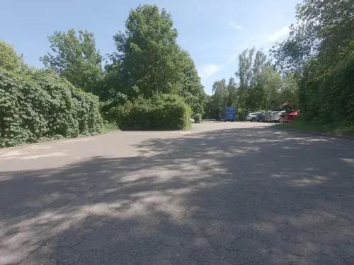


Hof Dreibirken / Ziegenhof Kramer
Farm and orchard · 11.7 km
9, Wittingen

14 more on the map.
Museums and landmarks108



Jagdmuseum Wulff
Museum · 11.3 km
28 Hässelmühler Straße, Dedelstorf
Tu-Fr 14:00-18:00; Sa,Su 13:00-18:00




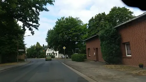
Tagestreff der Ambulanten Krankenpflege Harms
Museum
23 Dammstraße, Wittingen
Tu,Th 08:00-16:00
96 more on the map.
Parks, trails and playgrounds26

Wittinger Sporthafen
Marina and boat launch · 5.0 km
Elbe-Seiten-Kanal (ESK)
1 Am Sporthafen, Wittingen







14 more on the map.
Restaurants and cafes65

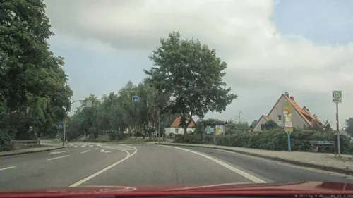
Restaurant Syrtaki
Restaurant · Greek · 9.3 km
13 Hoher Weg, Hankensbüttel
Mo, We-Th 11:30-14:00, 17:30-22:00; Fr-Su 11:30-14:00, 17:30-23:00
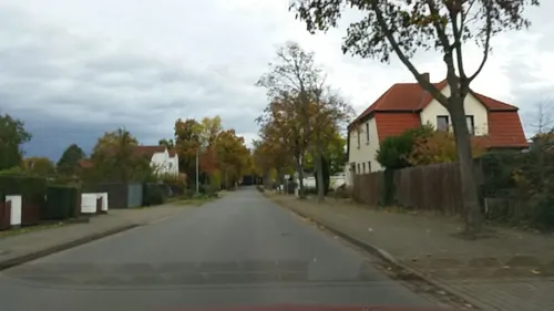
Wittinger Tor - Hotel und Restaurant
Restaurant · Regional, German, Chicken, Salad, Curry, Soup, Fleisch · 0.6 km
4 Salzwedeler Straße, Wittingen
Mo off, Tu-Sa 18:00-22:00, Su 11:00-14:00

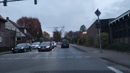

Restaurant "Seeblick" im Otter-Zentrum
Restaurant · 7.9 km
1 Sudendorfallee, Hankensbüttel
Mo-Su 12:00-17:00
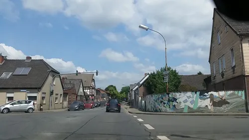
Feuer vom Stein
Restaurant · Pizza
6 Junkerstraße, Wittingen
Tu-Fr 18:00-22:00; Sa, Su 16:00-22:00


53 more on the map.
History
The earliest identified record of Wittingen appears in a document dated 781 which defines the territorial borders of the Bishopric of Hildesheim. Another early mention dates from 803 during the reign of Charlemagne, this time identifying the borders of the newly established Bishopric of Halberstadt. Neither of these sources pins down a date for the foundation of Wittingen, however.
During the Medieval period Wittingen was not merely a frontier point, but also a focus for traffic crossing into and out of the Altmark. The town was a trading point and an overnight stop for east-west commerce. Its significance was signaled in the ninth century when The Bishopric had the Church of St Stephen built. By the beginning of the thirteenth century Wittingen had been granted Town privileges, and was a part owner of the Lüneburg Mint. The fourteenth century was a period of political instability in this part of Europe and in 1340 ownership of Wittingen was transferred to the Welfs of Celle. Later, with the outbreak of the Hildesheim Diocesan Feud, the town was almost completely destroyed in 1519. Consequently, the building of town fortifications began shortly afterwards.
From the History section of Wittingen on Wikipedia, under CC BY-SA 4.0.
Where to stay10
Churches and places of worship21
Stiftskirche
Church · Lutheran · 7.9 km
6 Klosterstraße, Hankensbüttel
Shopping17
Gas and EV charging7
Saatzucht Flettmar Wittingen-Ohrdorf eG
Gas station · 6.2 km
1 Am Bahnhof, Wittingen
Schools, colleges and libraries14
Healthcare11
Jungblut´sche Apotheke
Clinic and pharmacy · 8.9 km
1 Wittinger Straße, Hankensbüttel
Map of Wittingen
250 places. The map loads OpenStreetMap tiles when you open it.
Getting there and nearby towns
Forschungsflughafen Braunschweig-Wolfsburg (BWE) is the nearest airport with scheduled flights listed in OpenStreetMap, 47 km away.
- Sassenburg 24 km south, about 24 min by car
- Wolfsburg 34 km south, about 34 min by car
- Wendeburg 50 km southwest, about 50 min by car
- Braunschweig 53 km south, about 53 min by car
- Hambühren 53 km west, about 53 min by car
- Wolfenbüttel 64 km south, about 1 h by car
- Salzgitter 67 km south, about 1 h by car
- Hannover 79 km southwest, about 1 h 15 min by car
- Hildesheim 83 km southwest, about 1 h 30 min by car
- Magdeburg 90 km southeast, about 1 h 30 min by car
Drive times are estimates from straight-line distance, not routes.
Local news
Headlines from INDB.
Reviews, tips and questions
Loading what members have shared...
Sources and licences
- GeoNames (CC BY 4.0): population, coordinates, regions and time zone
- Mapillary (see each image): photos
- OpenStreetMap contributors (ODbL 1.0): places, airports, map data
- Wikidata (CC0 1.0): elevation, founding date, time zone, website, landmarks and historic places
- Wikimedia Commons (see each image): photos
- Wikipedia (CC BY-SA 4.0): overview and history text
Photo credits
- Baudenkmal Haus Kreyenberg von 1640 in der Altstadt von Wittingen IMG 9257, Losch, CC BY-SA 3.0
- Stadtfriedhof Wittingen 6 Mauer Spittastraße, Gerd Fahrenhorst, CC BY 4.0
- Stadtfriedhof Wittingen 7 Mauer Spittastraße, Gerd Fahrenhorst, CC BY 4.0
- Isenhagener Kreisblatt Gebäude in Wittingen, Gerd Fahrenhorst, CC BY 4.0
- Stadtfriedhof Wittingen 4 Kapelle, Gerd Fahrenhorst, CC BY 4.0
- Löwenstele in Wittingen 2, Gerd Fahrenhorst, CC BY 4.0
- Löwenstele in Wittingen 1, Gerd Fahrenhorst, CC BY 4.0
- Löwenstele in Wittingen 3, Gerd Fahrenhorst, CC BY 4.0
- Junkerstraße 10, Wittingen, Gerd Fahrenhorst, CC BY 4.0
- Findlingsbrunnen in der Langen Straße Wittingen, Gerd Fahrenhorst, CC BY 4.0
- Stadtfriedhof Wittingen 2, Gerd Fahrenhorst, CC BY 4.0
- Stadtfriedhof Wittingen 5 Gräber Nathan, Gerd Fahrenhorst, CC BY 4.0
- Stadtfriedhof Wittingen 3, Gerd Fahrenhorst, CC BY 4.0
- Fachwerkhaus in der Altstadt von Wittingen IMG 9222, Losch, CC BY-SA 3.0
- Junkerstraße 09, Wittingen, Gerd Fahrenhorst, CC BY 4.0
- Lange Straße 22, Wittingen, Gerd Fahrenhorst, CC BY 4.0
- Lange Straße 24, Wittingen, Gerd Fahrenhorst, CC BY 4.0
- Lange Straße 29, Wittingen, Eingangstür, Gerd Fahrenhorst, CC BY 4.0
- Junkerstraße 16, Wittingen, 3, Gerd Fahrenhorst, CC BY 4.0
- Junkerstraße 16, Wittingen, 2, Gerd Fahrenhorst, CC BY 4.0
- Lange Straße 29, Wittingen, Gerd Fahrenhorst, CC BY 4.0
- Fachwerkhaus in der Altstadt von Wittingen IMG 9221, Losch, CC BY-SA 3.0
- Fachwerkhaus in der Altstadt von Wittingen IMG 9264, Losch, CC BY-SA 3.0
- Fachwerkhaus in der Altstadt von Wittingen IMG 9242, Losch, CC BY-SA 3.0
- Fachwerkhaus in der Altstadt von Wittingen IMG 9244, Losch, CC BY-SA 3.0
- Lange Straße 33, Haus Dress, Wittingen, Gerd Fahrenhorst, CC BY 4.0
- Lange Straße 26, Wittingen, Gerd Fahrenhorst, CC BY 4.0
- Junkerstraße 16, Wittingen, 1, Gerd Fahrenhorst, CC BY 4.0
- Lange Straße 35, Wittingen, Stackmanns Haus, Gerd Fahrenhorst, CC BY 4.0
- Stadtfriedhof Wittingen 1 Mauer Bahnhofstraße, Gerd Fahrenhorst, CC BY 4.0
- Junkerstraße 20, Wittingen, AOK und Wandgemälde, Gerd Fahrenhorst, CC BY 4.0
- Kirche Wittingen I, ClausNe, CC BY-SA 4.0
- Junkerstraße 22, Spitta-Haus, Wittingen, Gerd Fahrenhorst, CC BY 4.0
- Wittingen, the Spitta-Haus, Dguendel, CC BY 3.0
- Braumeister (Georg Arfmann) in Wittingen 1, Gerd Fahrenhorst, CC BY 4.0
- Fachwerkhaus in der Altstadt von Wittingen IMG 9263, Losch, CC BY-SA 3.0
- Kirche Wittingen, ClausNe, CC BY-SA 4.0
- Otterzentrum Hauptgebäude, Mark Ehlers, Otter-Zentrum, CC BY-SA 2.0
- 190512 1035 NSG Bornbruchsmoor, M.J., CC BY-SA 4.0
- Hallenhaus im Freilichtmuseum Diesdorf, Nutzer-- Sportfreund.php 18:19, 28. Jan. 2009 (CET), CC BY-SA 3.0
- Hankensbüttel Gymnasium 2022-1, Kirchenfan, CC0
- Diesdorf Klosterkirche, Vanellus Foto, CC BY-SA 3.0
- Isenhagen Kloster Front, Axel Hindemith, Public domain
- Hanum - Kirche (01), Oxfordian Kissuth, CC BY-SA 3.0
- Kloster Isenhagen (Hankensbüttel) IMG 9153, Losch, CC BY-SA 3.0
- L1040807 Kirche Eutzen v SO, Ulamm ( talk ), CC BY-SA 4.0
- Dülseberg - Feldsteinkirche, Oxfordian Kissuth, CC BY-SA 3.0
- L1040684b Eickhorst, Ulamm ( talk ), CC BY-SA 4.0
- Kirche Dankensen, ClausNe, CC BY-SA 4.0
- Kirche Waddekath, ClausNe, CC BY-SA 4.0
- Kirche Drebenstedt, ClausNe, CC BY-SA 4.0
- Diesdorf Kriegerdenkmal 01, Ronny Ueckermann, CC BY-SA 4.0
- Kriegerdenkmal Schadewohl, ClausNe, CC BY-SA 4.0
- Helios-Klinik Wittingen, Gerd Fahrenhorst, CC BY 4.0
- Wittingen, the manor house "Junkerhof", Dguendel, CC BY 3.0
- Wittingen Kirche selbstst, Kirchenfan, CC0
- St. Bartholomäus-Kirche, FutureMissStyPayHorLikSon, CC BY-SA 4.0
- Wittingen Kirche kath, Kirchenfan, CC0
- Zwergbirkenmoor bei Schafwedel, Lks. Uelzen, Handbrems, CC BY-SA 4.0
- NSG-LangenbrueggerMoor, Christian Fischer, CC BY-SA 4.0
- Street-level photo, tian, CC BY-SA 4.0
- Street-level photo, tian, CC BY-SA 4.0
- Street-level photo, tian, CC BY-SA 4.0
- Street-level photo, tian, CC BY-SA 4.0
- Street-level photo, hotteliene, CC BY-SA 4.0
- Street-level photo, frankvival, CC BY-SA 4.0
- Street-level photo, tian, CC BY-SA 4.0
- Street-level photo, tian, CC BY-SA 4.0
- Street-level photo, tian, CC BY-SA 4.0
- Street-level photo, SimonHarms, CC BY-SA 4.0
- Street-level photo, tian, CC BY-SA 4.0
- Street-level photo, tian, CC BY-SA 4.0
- Street-level photo, tian, CC BY-SA 4.0
- Street-level photo, tian, CC BY-SA 4.0
- Street-level photo, tian, CC BY-SA 4.0


Page built November 8, 2026. Spotted a mistake? Tell us or suggest a place.