


Philippsburg, Germany
Philippsburg is a town of 12,359 people in Baden-Wurttemberg, Germany.
Why visit Philippsburg
Townapedia lists 48 museums and landmarks, 35 parks and trails, 112 places to eat, 12 places to stay and 9 attractions in and around town.
Highlights include Il Gusto Siciliano, Rhine Bridge, Germersheim, Eremitage Waghäusel and Heimatmuseum.
Weather in Philippsburg
Forecast from MET Norway (CC BY 4.0). Full forecast
About Philippsburg
Philippsburg (German pronunciation: [ˈfɪlɪpsbʊʁk] ) is a town in the district of Karlsruhe, Baden-Württemberg, Germany.
From the Wikipedia article Philippsburg (this version), under CC BY-SA 4.0.
Things to do9

Il Gusto Siciliano
Farm and orchard · 3.5 km
Südfrüchte direkt von Orangenbauer in Ribera, weitere sizilianische Produkte
83 Marienstraße, Oberhausen-Rheinhausen
Nov-Feb: Sa 08:30-14:00 "Verkaufs- und Abholtage siehe Homepage"


Speichertheater Oberhausen
Cinema and theater · 3.6 km
Theater der Musik und Kunstschule Oberhausen.
2 Jahnstraße, Oberhausen-Rheinhausen

Großhans Hockenheim
Farm and orchard · 5.2 km
67 Hauptstraße, Oberhausen-Rheinhausen
Apr-Jun Mo-Su,PH 08:30-13:00 open "während der Spargelsaison"


Museums and landmarks48



Der Rhein
Monument and historic site · 4.7 km
Vermutete Position etwa 50 m vom Nordwestufer bei km 386,75. Bei Vorbereitungen zu einer für den 21. Oktober 2018 geplanten Bergung...
Humorpark
Museum · 4.2 km
Karikatur-, Cartoon- und Struwwelpetermuseum
5 Friedrich-Hecker-Allee, Waghäusel
We 16:00-20:00;Su 14:00-18:00

Alte Post
Monument and historic site · 5.6 km
Ehemaliges Postgebäude
3 Hauptstraße, Oberhausen-Rheinhausen


36 more on the map.
Parks, trails and playgrounds35



Klabauterland
Playground · 0.8 km
4 Lochwiesen, Philippsburg
Mo-Fr 14:00-19:00; Sa-Su 10:00-19:00; SH 10:00-19:00


23 more on the map.
Restaurants and cafes112
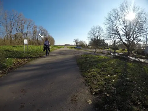
Am Altrhein
Restaurant · Regional · 6.1 km
50 In den Rauhweiden, Römerberg
We-Su 11:00-14:00,17:00-21:30

Strike und Table
Restaurant · Pizza, Burger, Noodle · 3.8 km
Bowling, Billard, Tischtennis, PlayStation 5
11 Habichtstraße, Waghäusel
Mo,We-Su 11:00-03:00; Tu off
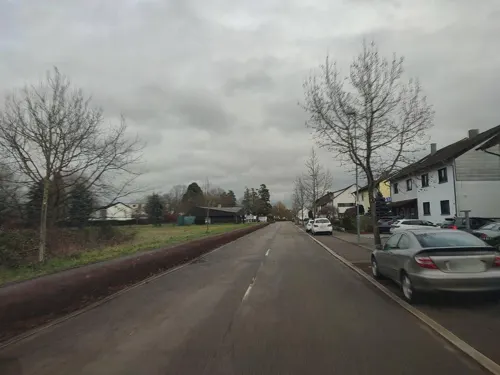
Adria
Restaurant · Croatian · 3.6 km
81 Philippsburger Straße, Waghäusel
Tu-Fr 11:00-14:00,16:30-23:00; Sa 16:30-23:00; Su 11:00-14:00,16:30-22:00
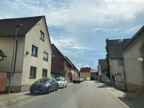
Alte Brauerei
Restaurant · German · 5.8 km
7 Huttenheimer Straße, Dettenheim
Mo-Sa 11:30-14:00,17:00-21:00; Tu off; We 17:00-21:00; Su 11:30-21:00
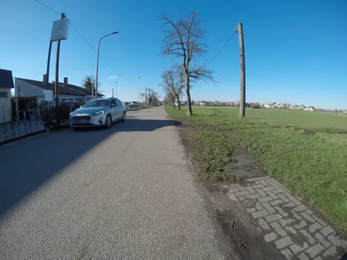
Bei den Hasen
Restaurant · German · 5.1 km
52 Philippsburger Straße, Römerberg
Tu,Th 16:00-22:00; Fr 15:00-22:00; Sa 11:00-14:00,16:30-22:00; Su...
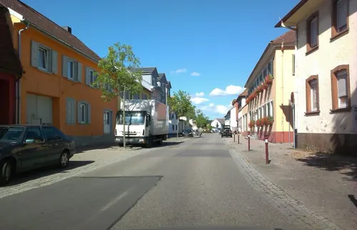
BürgerhausLöwen
Restaurant · German · 3.7 km
40 Hauptstraße, Philippsburg
Mo,Th-Sa 18:00-23:00; Su 10:30-11:30 open "Brunch", 11:30-16:00...
Cindys Treff
Restaurant · German, Filipino · 4.4 km
5 Gymnasiumstraße, Waghäusel
Tu-Sa 17:00-23:00; Su 11:00-14:30,17:00-21:00; Mo off
Da Mario
Restaurant · Italian · 3.7 km
3 Habichtstraße, Waghäusel
Tu-Fr 11:30-14:00, 18:00-23:00; Sa 18:00-23:00; Su,Mo off
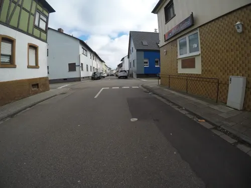
Dani's Diner
Restaurant · Burger, American · 1.0 km
29 Udenheimer Straße, Philippsburg
Th-Su 17:00-22:00
Gaststätte Rhenania
Restaurant · German, Fish, Cake · 5.8 km
1 Werftstraße, Germersheim
We-Sa 11:00-22:00; Su,PH 11:00-21:30; Mo,Tu off
Knossos
Restaurant · Greek · 2.5 km
98 Jahnstraße, Oberhausen-Rheinhausen
Tu-Sa 11:00-14:30,17:00-22:00; Su,PH 11:00-22:00


100 more on the map.
History
The city was a possession of the Bishop of Speyer from 1316 to 1803. The town is named after Philipp Christoph von Sötern, who was bishop from 1610–1652. It was ruled by France between 1644 and 1676 and again between 1688 and 1697. The city became part of the Grand Duchy of Baden in 1803.
Historically, possession of the town was disputed between Germany and France.
Formerly, there was a fortress located at the town, whose location was mentioned by Carl von Clausewitz. In Book VI of On War, he suggested that "If a fortress cannot be located directly on a river, it is better not to place it in the immediate vicinity, but some fifty to sixty miles away; otherwise the river will cut through and interfere with its sphere of influence with respect to all the points mentioned above." He then mentions in a footnote "Philippsburg was a perfect example of how not to site a fortress. Its location was that of an idiot standing with his nose against the wall.". The fortress was besieged in 1644, 1676, 1688, and 1734, and during the War of the Second Coalition in 1799. Following the Peace of Lunéville, the fortress was demolished.
From the History section of Philippsburg on Wikipedia, under CC BY-SA 4.0.
Where to stay12
Naturfreundehaus Waldfrieden
Motel and hotel · 4.6 km
12 Seppl-Herberger-Ring, Waghäusel
Churches and places of worship26
Wallfahrtskirche "Zur Mutter mit dem gütigen Herzen"
Church · Roman Catholic · 4.3 km
2 Bischof-von-Rammung-Straße, Waghäusel
Protestantische Friedenskirche
Church · Protestant · 5.9 km
3 Schwegenheimer Straße, Römerberg
Marienkapelle
Church · Roman Catholic · 3.9 km
88 Waghäusler Straße, Oberhausen-Rheinhausen
Shopping21
Gas and EV charging10
Aral
Gas station · 3.6 km
1a Hoeber-und-Mandelbaum-Straße, Oberhausen-Rheinhausen
Schools, colleges and libraries21
Gemeinschaftsschule Oberhausen-Rheinhausen
School · 3.6 km
1 Am Schwarzen Weg, Oberhausen-Rheinhausen
Healthcare8
Map of Philippsburg
250 places. The map loads OpenStreetMap tiles when you open it.
Getting there and nearby towns
City-Airport Mannheim (MHG) is the nearest airport with scheduled flights listed in OpenStreetMap, 27 km away.
- Waghäusel 4 km northeast, about 4 min by car
- Walldorf 16 km northeast, about 16 min by car
- Wiesloch 19 km east, about 19 min by car
- Schwetzingen 19 km northeast, about 19 min by car
- Sandhausen 19 km northeast, about 19 min by car
- Karlsruhe 25 km south, about 25 min by car
- Heidelberg 26 km northeast, about 26 min by car
- Ludwigshafen am Rhein 28 km north, about 28 min by car
- Mannheim 29 km north, about 29 min by car
- Sinsheim 30 km east, about 30 min by car
Drive times are estimates from straight-line distance, not routes.
Local news
Headlines from INDB.
Reviews, tips and questions
Loading what members have shared...
Sources and licences
- GeoNames (CC BY 4.0): population, coordinates, regions and time zone
- Mapillary (see each image): photos
- OpenStreetMap contributors (ODbL 1.0): places, airports, map data
- Wikidata (CC0 1.0): elevation, founding date, time zone, website, landmarks and historic places
- Wikimedia Commons (see each image): photos
- Wikipedia (CC BY-SA 4.0): overview and history text
Photo credits
- Philippsburg Bf, Michael Kauffmann, CC BY 2.0 de
- Philippsburg - panoramio, qwesy qwesy, CC BY 3.0
- Bahnhof Philippsburg - panoramio, qwesy qwesy, CC BY 3.0
- Philippsburg - panoramio (1), qwesy qwesy, CC BY 3.0
- Philippsburg, katholische Kirche St. Maria - geo.hlipp.de - 26678, Paul L on geo.hlipp.de, CC BY-SA 2.0
- Philippsburg, evangelische Kirche - geo.hlipp.de - 26679, Paul L on geo.hlipp.de, CC BY-SA 2.0
- Rheinniederungskanal, Philippsburg, Hebewerk Rheinniederung, Hozro, CC0
- Rheinbrücke Germersheim Eisenbahn, Eurext, CC BY-SA 3.0
- 20110812Waghaeusel17, AnRo0002, CC0
- Wallfahrtskirche-Waghausel-09, Immanuel Giel, CC BY-SA 3.0
- Prot Kirche Mechtersheim, Hartwig Humbert, Public domain
- Wagbachniederung, Rolf Thum, CC BY-SA 2.0 de
- PhilippsburgJuedischerFriedhof04, LigaDue, CC BY-SA 4.0
- 20111004Wagbachkastell3, AnRo0002, CC0
- 2020-08-16 140506 Radrennbahn Oberhausen, Tim Rademacher, CC BY-SA 4.0
- 20150627Gewann Frankreich-Wiesental3, AnRo0002, CC0
- Erlich (Naturschutzgebiet) 08, Joachim Lutz, CC BY-SA 4.0
- Bau 2, Copernicus-Gymnasium, CC BY-SA 4.0
- 20140723Russheimer Altrhein7, AnRo0002, CC0
- Rheinsheim-01, Immanuel Giel, CC BY-SA 3.0
- Wiesental St. Jodokus 20110228, Rudolf Stricker, Attribution
- 20110923St Maria Philippsburg2, AnRo0002, CC0
- Wiesental Erlöserkirche 20110228, Rudolf Stricker, Attribution
- 20110831Alte Post Rheinhausen1, AnRo0002, CC0
- 20140723Brueckenkopf1, AnRo0002, CC0
- Naturschutzgebiet Flotzgrün zwischen zwei Ausläufern des Berghäuser nahe Römerberg (nahe Speyer), JoPaK, CC BY-SA 4.0
- Mechtersheimer Tongruben 2018, Oliver Orschiedt, CC BY-SA 4.0
- 20140723Russheimer Altrhein5, AnRo0002, CC0
- Schafwiesen Mechtersheim 2018, Oliver Orschiedt, CC BY-SA 4.0
- Altrhein im NSG Schwarzwald bei Mechtersheim 2018, Oliver Orschiedt, CC BY-SA 4.0
- Kirche-Oberhausen-Oberhausen-01, Immanuel Giel, CC BY-SA 3.0
- 20110923St Maria Philippsburg1, AnRo0002, CC0
- Pfarrkirche St. Peter Huttenheim, Jungkind, CC BY 3.0
- 20110923Ev Kirche Philippsburg1, AnRo0002, CC0
- 20110831St Laurentius Rheinhausen05, AnRo0002, CC0
- Kloster Waghäusel von Süden, Claus Ableiter, CC BY-SA 4.0
- Morgennebel in der Wagbachniederung, Tanja Weiß, CC BY-SA 4.0
- PhilippsburgJuedischerFriedhof01, LigaDue, CC BY-SA 4.0
- RadbahnOberhausen2013, Herr Tunichgut, CC BY-SA 3.0
- 20140723Hochwasser Germersheimer Rheinauen2, AnRo0002, CC0
- Germersheim, Häuser in der Straße Am Vogelpark und Hans-Mayer-Straße 20251228, P170, CC BY-SA 4.0
- Knaudenheim, Anglerskulptur (2), Hozro, CC0
- Street-level photo, mfa, CC BY-SA 4.0
- Street-level photo, wegavision, CC BY-SA 4.0
- Street-level photo, wegavision, CC BY-SA 4.0
- Street-level photo, mfa, CC BY-SA 4.0
- Street-level photo, tasmaniadevil, CC BY-SA 4.0
- Street-level photo, pic_nick, CC BY-SA 4.0
- Street-level photo, wegavision, CC BY-SA 4.0
- Street-level photo, teddy73, CC BY-SA 4.0
- Street-level photo, wegavision, CC BY-SA 4.0
- Street-level photo, dns_vlpt, CC BY-SA 4.0
- Street-level photo, teddy73, CC BY-SA 4.0
- Street-level photo, mfa, CC BY-SA 4.0
- Street-level photo, wegavision, CC BY-SA 4.0
- Street-level photo, wegavision, CC BY-SA 4.0
- Street-level photo, ramap, CC BY-SA 4.0
- Street-level photo, karthoo, CC BY-SA 4.0
- Street-level photo, karthoo, CC BY-SA 4.0
- Street-level photo, wegavision, CC BY-SA 4.0
- Street-level photo, wegavision, CC BY-SA 4.0
- Street-level photo, wegavision, CC BY-SA 4.0
- Street-level photo, wegavision, CC BY-SA 4.0
- Street-level photo, mfa, CC BY-SA 4.0
- Street-level photo, teddy73, CC BY-SA 4.0
- Street-level photo, mfa, CC BY-SA 4.0


Page built November 8, 2026. Spotted a mistake? Tell us or suggest a place.