


Why visit Sinsheim
Townapedia lists 106 museums and landmarks, 51 parks and trails, 186 places to eat, 18 places to stay and 28 attractions in and around town.
Highlights include Citydom, IMAX 3D Kino Sinsheim, Klima Arena and Friedrich der Große Museum im Lerchenhof.
Weather in Sinsheim
Forecast from MET Norway (CC BY 4.0). Full forecast
About Sinsheim
Sinsheim (German pronunciation: [ˈzɪnshaɪm] ; Palatine German: Sinse) is a town in southwestern Germany, in the Rhine Neckar Area of the state Baden-Württemberg about 22 kilometres (14 mi) southeast of Heidelberg and about 28 kilometres (17 mi) northwest of Heilbronn in the district Rhein-Neckar.
From the Wikipedia article Sinsheim (this version), under CC BY-SA 4.0.
Travel tips from other travellers: Sinsheim on Wikivoyage (CC BY-SA 4.0).
Things to do28
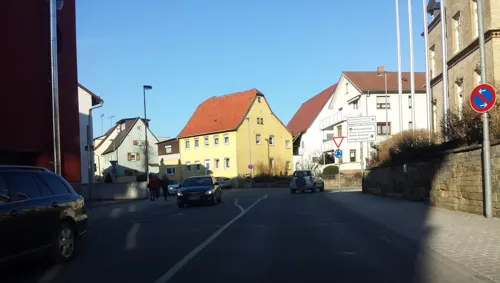
Citydom
Cinema and theater
15 Wilhelmstraße, Sinsheim
Mo-Th 16:30-22:00; Fr-Sa 13:30-22:00; Su 10:30-22:00
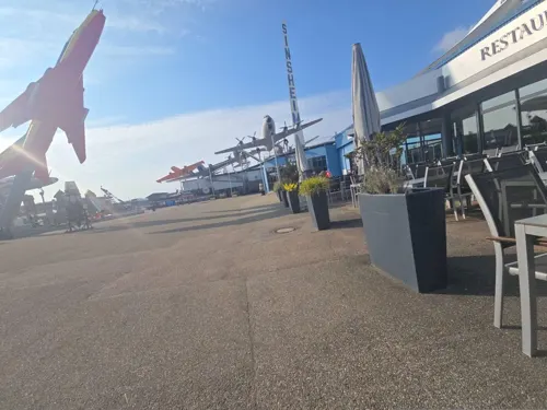

Obsthof Krebs
Farm and orchard · 1.5 km
1b Hauptstraße, Sinsheim
Mo-Fr 09:00-13:00,14:00-18:00; Sa 09:00-13:00

16 more on the map.
Museums and landmarks106

Klima Arena
Museum · 1.5 km
Die Klima Arena ist ein Erlebnisort in Sinsheim. Sie behandelt auf technische und spielerische Weise das Thema Klimawandel.
6 Dietmar-Hopp-Straße, Sinsheim
Mo-Fr 09:00-17:00; Sa-Su 10:00-17:00
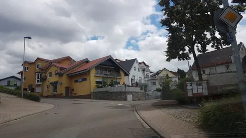
Friedrich der Große Museum im Lerchenhof
Museum · 2.9 km
18 Lerchenneststraße, Sinsheim
Su 14:00-16:30; PH 14:00-16:30

Technik-Museum Sinsheim
Museum · 2.1 km
2 Eberhard-Layher-Straße, Sinsheim
Mo-Fr 09:00-18:00; Sa,Su,PH 09:00-19:00


Schloss Neuhaus
Monument and historic site · 6.4 km
1, Sinsheim
Open in Google Maps · Wikipedia · +49 7266 2225;+49 7266 8017

Alte Schule
Monument and historic site · 7.6 km
14 Schulstraße, Eschelbronn



Hauck'sches Haus
Monument and historic site · 7.5 km
Ältestes Haus der Gemeinde
12 Oberstraße, Eschelbronn
94 more on the map.
Parks, trails and playgrounds51



Freibad Sinsheim
Sports field and stadium
6 Schwimmbadweg, Sinsheim
Mo-Su,PH 09:00-20:00; Tu,Th 07:00-20:00; Oct-Apr off



39 more on the map.
Restaurants and cafes186
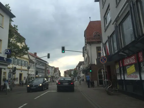
Excellent Confiserie
Cafe · Coffee Shop, Cake, Bistro, Dessert
Frühstück, Kaffee, Eis, Bistro
99 D Hauptstraße, Sinsheim
Tu-Su 09:00-18:00; Mo off
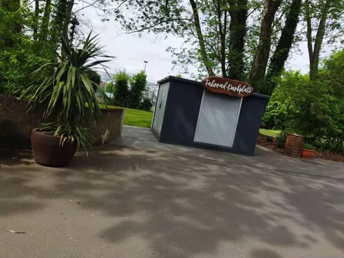
Mühlenbäcker GmbH
Cafe · Italian · 5.8 km
Donnerstags von 13 Uhr bis 15 Uhr Mittagstisch mit Spaghetti Aglio olio Peperoncino und Spaghetti in Tomatensauce
9/1 Mühlweg, Zuzenhausen
Tu-Fr 07:30-18:00, Sa 06:30-13:00
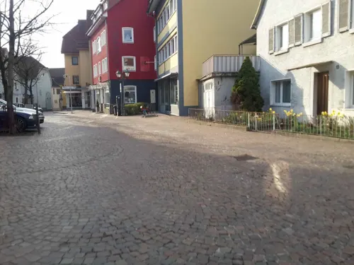
Ristorante Pizzeria Jakova
Restaurant · Italian
36 Burggasse, Sinsheim
Mo off; Tu-Th 11:00-14:00,17:00-23:00; Fr 11:00-14:00,17:00-00:00;...

Akropolis
Restaurant · Greek · 1.1 km
76 Kurpfalzstraße, Sinsheim
Mo-Sa 17:00-22:00; Su 11:00-14:00, 17:00-22:00
Asia City
Restaurant · Asian · 1.5 km
34a Neulandstraße, Sinsheim
Tu-Su 11:30-15:00, 17:30-23:00;Mo off
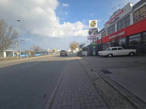
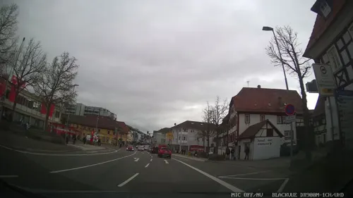
Bella Marmaris
Restaurant · Italian
133 Hauptstraße, Sinsheim
Mo 17:00-23:00; Tu-Fr 11:00-14:30,17:00-24:00; Sa...
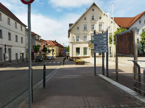
Dolce Vita
Restaurant · Italian · 5.9 km
1 Marktplatz, Waibstadt
Apr-Oct: Mo-Su 11:30-23:00; Nov-Mar: Tu-Fr...
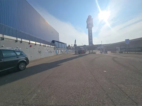
Flight Deck
Restaurant · American, Fast Food · 2.0 km
2 Eberhard-Layher-Straße, Sinsheim
Su-Th 11:30-19:00; Fr-Sa 11:30-21:00
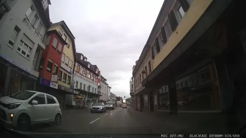
Gasthaus Linde
Restaurant · German
26 Bahnhofstraße, Sinsheim
We-Sa 11:00-22:00; Su 11:00-21:00; Mo,Tu off
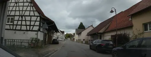


Gasthaus Sonne
Restaurant · Regional · 7.4 km
6 Ehrenstraße, Sinsheim
Mo,We,Th,Fr,Sa,Su 17:00-22:00; PH 17:00-22:00; Tu off
174 more on the map.
History
The region around Sinsheim has been settled since 700,000 BC, as shown by the finding of the fossil Homo heidelbergensis in the village of Mauer, about 12 km (7 miles) north of Sinsheim. The Romans ruled the area from 90 AD to 260 AD. The city was possibly founded in about 550 AD by the Frankish nobleman Sunno. It was first historically mentioned in 770 AD in the Codex of the cloister Lorsch. Since 1192, the town had city rights, a privilege first granted by Henry IV, Holy Roman Emperor.
Sinsheim was affected by wars and poverty from the 1500s to the 1700s. Sinsheim-born revolutionary Franz Sigel became a famous Union general in the American Civil War.
The Elsenz Valley Railway and Sinsheim station were opened in 1868 and the nearby Steinsfurt–Eppingen line was opened in 1900; electricity and public water pipes were introduced into the city from 1910 on. The World Wars and the Great Depression kept Sinsheim from growing until the A6 Autobahn was built in 1968. It connected Sinsheim to national and international roads, with Mannheim, Stuttgart, Frankfurt am Main, Heilbronn, Heidelberg, Ludwigshafen all now within an hour by car. While traditionally being an agricultural town, the highway made it into a small industrial centre, but it has been hit by recession and international outsourcing in recent years.
From the History section of Sinsheim on Wikipedia, under CC BY-SA 4.0.
Where to stay18
Churches and places of worship64
Ehemalige Schlosskirche
Church · 7.8 km
3 Friedrich-Hecker-Straße, Angelbachtal
Evangelische Kirche
Church · Protestant · 7.0 km
4 Klammenstraße, Sinsheim
Evangelische Kirche
Church · Lutheran · 7.1 km
1 Kirchgraben, Neidenstein
Evangelische Kirche
Church · Protestant · 7.2 km
9 Michelfelder Straße, Sinsheim
Shopping42
Gas and EV charging23
Schools, colleges and libraries31
Healthcare17
GRN Medizinisches Versorgungszentrum Sinsheim
Clinic and pharmacy · 0.8 km
2B Alte Waibstadter Straße, Sinsheim
Map of Sinsheim
250 places. The map loads OpenStreetMap tiles when you open it.
Getting there and nearby towns
City-Airport Mannheim (MHG) is the nearest airport with scheduled flights listed in OpenStreetMap, 36 km away.
- Wiesloch 14 km west, about 14 min by car
- Walldorf 18 km west, about 18 min by car
- Heidelberg 22 km northwest, about 22 min by car
- Bad Friedrichshall 25 km east, about 25 min by car
- Heilbronn 28 km southeast, about 28 min by car
- Waghäusel 27 km west, about 27 min by car
- Weinsberg 32 km east, about 32 min by car
- Vaihingen an der Enz 36 km south, about 36 min by car
- Weinheim 36 km northwest, about 36 min by car
- Mannheim 40 km northwest, about 40 min by car
Drive times are estimates from straight-line distance, not routes.
Local news
Headlines from INDB.
Reviews, tips and questions
Loading what members have shared...
Sources and licences
- GeoNames (CC BY 4.0): population, coordinates, regions and time zone
- Mapillary (see each image): photos
- OpenStreetMap contributors (ODbL 1.0): places, airports, map data
- Wikidata (CC0 1.0): elevation, founding date, time zone, website
- Wikimedia Commons (see each image): photos
- Wikipedia (CC BY-SA 4.0): overview and history text
Photo credits
- Sinsheim Gerberhaus, Norbert Schnitzler, CC BY-SA 3.0
- Sinsheim ev Stadtkirche, Norbert Schnitzler, CC BY-SA 3.0
- Sinsheim Wetzsteinspucker, Norbert Schnitzler, CC BY-SA 3.0
- Stolpersteine Sinsheim Hauptstraße 102, RIL91, CC0
- Technikmuseum Sinsheim - panoramio (12), BLS208, CC BY-SA 3.0
- Technikmuseum Sinsheim - panoramio (13), BLS208, CC BY-SA 3.0
- Technikmuseum Sinsheim - panoramio (14), BLS208, CC BY-SA 3.0
- Sinsheim Polizei, Norbert Schnitzler, CC BY-SA 3.0
- Sinsheim Haus Stammer, Norbert Schnitzler, CC BY-SA 3.0
- Sinsheim Sparkasse, Norbert Schnitzler, CC BY-SA 3.0
- Sinsheim Skulptur vor Sparkasse, Norbert Schnitzler, CC BY-SA 3.0
- Sinsheim Hauptstr 127-133, Norbert Schnitzler, CC BY-SA 3.0
- Sinsheim Hauptstr 127, Norbert Schnitzler, CC BY-SA 3.0
- Sinsheim Museum, Norbert Schnitzler, CC BY-SA 3.0
- Sinsheim Rathaus, Norbert Schnitzler, CC BY-SA 3.0
- Sinsheim Freiheitsdenkmal 5, Norbert Schnitzler, CC BY-SA 3.0
- Sinsheim Freiheitsdenkmal 1, Norbert Schnitzler, CC BY-SA 3.0
- Sinsheim Freiheitsdenkmal 4, Norbert Schnitzler, CC BY-SA 3.0
- Sinsheim Freiheitsdenkmal 3, Norbert Schnitzler, CC BY-SA 3.0
- Sinsheim Freiheitsdenkmal 2, Norbert Schnitzler, CC BY-SA 3.0
- Sinsheim Zieglersches Haus, Norbert Schnitzler, CC BY-SA 3.0
- Sinsheim Portal Drei Könige, Norbert Schnitzler, CC BY-SA 3.0
- Sinsheim Drei Könige, Norbert Schnitzler, CC BY-SA 3.0
- Sinsheim Kriegerdenkmal, Norbert Schnitzler, CC BY-SA 3.0
- Sinsheim Kreuzigungsgruppe, Norbert Schnitzler, CC BY-SA 3.0
- Sinsheim ex Stiftschaffnerei, Norbert Schnitzler, CC BY-SA 3.0
- Sinsheim Schwennsches Haus, Norbert Schnitzler, CC BY-SA 3.0
- Sinsheim Stadthalle und Stadtbibliothek, Norbert Schnitzler, CC BY-SA 3.0
- Sinsheim rk Pfarramt St-Jakobus, Norbert Schnitzler, CC BY-SA 3.0
- Sinsheim Kunst-AG-Graffiti, Norbert Schnitzler, CC BY-SA 3.0
- Sinsheim Ludwig Franck Fenster 2, Norbert Schnitzler, CC BY-SA 3.0
- Sinsheim Ludwig Franck Fenster 1, Norbert Schnitzler, CC BY-SA 3.0
- Balancierbalken Alla Hopp Anlage Sinsheim06012020, Zavijava2, CC BY-SA 4.0
- Sinsheim Carl-Orff-Schule, Norbert Schnitzler, CC BY-SA 3.0
- Sinsheim rk Gemeindehaus St-Josef, Norbert Schnitzler, CC BY-SA 3.0
- Sinsheim Schickes Haus, Norbert Schnitzler, CC BY-SA 3.0
- Sinsheim Musikschule, Norbert Schnitzler, CC BY-SA 3.0
- Balancierstamm Alla Hopp Anlage Sinsheim06012020, Zavijava2, CC BY-SA 4.0
- Mikadowald Alla Hopp Anlage Sinsheim29052023, Zavijava2, CC0
- Spitzen Mikadowald Alla Hopp Anlage Sinsheim26062026 1, Captchahasser, CC BY-SA 4.0
- Sinsheim - Rhein-Neckar-Arena - blick von der Burg Steinsberg 2016-03-28 17-08-31, Photographs by Radosław Drożdżewski (User:Zwiadowca21), CC BY-SA 4.0
- Technik Museum Sinsheim, Tu-144, Concorde, Dr. Thomas Liptak, CC BY-SA 4.0
- Alte Schule Eschelbronn 2, Nicor, CC BY-SA 3.0
- Nbh-altesschloss2010, peter schmelzle, CC BY-SA 3.0
- Hoffenheim-hoppstadion, p.schmelzle, CC BY-SA 2.5
- Neidenstein-kirche, Peter Schmelzle, CC BY-SA 3.0
- Eschelbach-evkirche, peter schmelzle, CC BY-SA 3.0
- Hoffenheim-evkirche-web, p.schmelzle, CC BY-SA 2.5
- Steinsfurt-evkirch08, peter schmelzle, CC BY-SA 3.0
- Waldangelloch-Ev-Kirche-Nov2012-bild980, Peter Schmelzle, CC BY-SA 3.0
- Duehren-snh-ev-kirche, peter schmelzle, CC BY-SA 3.0
- Michelfeld (Angelbachtal) Schloss 739, Reinhardhauke, CC BY-SA 3.0
- Steinsfurt Synagoge173, GFreihalter, CC BY-SA 3.0
- Haus Oberstrasse Eschelbronn, Herr_Bert, CC BY-SA 2.0
- Aerial image of the Schloss Neuhaus in Ehrstädt (view from the south), Carsten Steger, CC BY-SA 4.0
- Eschelbronn Naturschutzgebiet Kallenberg 16, Nicor, CC BY-SA 3.0
- NSG Waibstädter Schwarzbachaue, Michael Linnenbach, CC BY-SA 4.0
- Klima Arena Sinsheim 01, H. Zell, CC BY-SA 3.0
- Kirche (Balzfeld), Peter Schmelzle, CC BY-SA 4.0
- Eichtersheim Schloss side 20070516, Rudolf Stricker, CC BY-SA 3.0
- Angelbachtal-kathkirche, Peter Schmelzle, CC BY-SA 3.0
- Eichtersheim Schlosskirche 746, Reinhardhauke, CC BY-SA 3.0
- Street-level photo, wegavision, CC BY-SA 4.0
- Street-level photo, teddy73, CC BY-SA 4.0
- Street-level photo, ramap, CC BY-SA 4.0
- Street-level photo, changchun1, CC BY-SA 4.0
- Street-level photo, changchun1, CC BY-SA 4.0
- Street-level photo, changchun1, CC BY-SA 4.0
- Street-level photo, teddy73, CC BY-SA 4.0
- Street-level photo, teddy73, CC BY-SA 4.0
- Street-level photo, changchun1, CC BY-SA 4.0
- Street-level photo, changchun1, CC BY-SA 4.0
- Street-level photo, teddy73, CC BY-SA 4.0
- Street-level photo, knistertoni, CC BY-SA 4.0
- Street-level photo, changchun1, CC BY-SA 4.0
- Street-level photo, changchun1, CC BY-SA 4.0
- Street-level photo, changchun1, CC BY-SA 4.0
- Street-level photo, changchun1, CC BY-SA 4.0
- Street-level photo, changchun1, CC BY-SA 4.0
- Street-level photo, changchun1, CC BY-SA 4.0
- Street-level photo, teddy73, CC BY-SA 4.0
- Street-level photo, changchun1, CC BY-SA 4.0
- Street-level photo, teddy73, CC BY-SA 4.0
- Street-level photo, wegavision, CC BY-SA 4.0
- Street-level photo, chuck, CC BY-SA 4.0
- Street-level photo, ramap, CC BY-SA 4.0
- Street-level photo, chuck, CC BY-SA 4.0
- Street-level photo, changchun1, CC BY-SA 4.0


Page built November 8, 2026. Spotted a mistake? Tell us or suggest a place.