


Why visit Pyrbaum
Townapedia lists 50 museums and landmarks, 10 parks and trails, 58 places to eat, 2 places to stay and 14 attractions in and around town.
Highlights include Hennenglück, Mimberger Hofladen, Ludwig-Donau-Main-Kanal and Ludwig-Donau-Main-Kanal.
Weather in Pyrbaum
Forecast from MET Norway (CC BY 4.0). Full forecast
About Pyrbaum
Pyrbaum is a municipality in the district of Neumarkt in Bavaria in Germany.
From the Wikipedia article Pyrbaum (this version), under CC BY-SA 4.0.
Things to do14
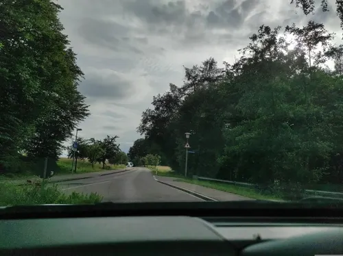
Hennenglück
Farm and orchard · 4.5 km
Seit April 2024 Aufgabe der Eierproduktion, Hofladen besteht noch
Mo-Su 07:00-21:00

Mimberger Hofladen
Farm and orchard · 5.9 km
26 Erlenstraße, Burgthann
Mo,We-Fr 17:00-18:30; Sa 09:00-13:00; PH off

2 more on the map.
Museums and landmarks50


38 more on the map.
Parks, trails and playgrounds10

Spiel-Preis GmbH & Co. KG
Sports field and stadium · 4.7 km
8 Am Breitenstock, Burgthann
Mo-Fr 10:00-17:00; Sa 10:00-14:00


Restaurants and cafes58

Osteria da Toni
Restaurant · Italian · 2.8 km
13 Röthenbacher Straße, Pyrbaum
Tu-Fr 16:00-22:00, Sa,Su,PH 11:00-14:00, Sa 16:00-22:00, Su 16:00-21:00

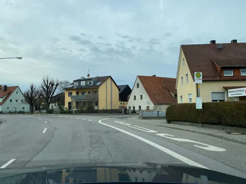
Der Beck
Cafe · German, Coffee Shop, Pastry · 5.3 km
14 Hauptstraße, Postbauer-Heng
Mo-Fr 06:00-18:00; Sa 06:00-16:00; Su 07:00-17:00; PH 07:00-17:00
Gasthof Erlbacher
Restaurant · Regional · 4.7 km
17 Neumarkter Straße, Schwarzenbruck
Tu-Su 10:00-21:00; Sa off
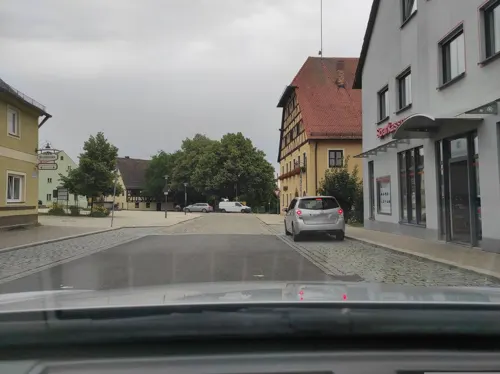
Goldenes Fass - Zlatno Bure
Restaurant · Balkan
2 Kurpfalzstraße, Pyrbaum
Tu-Sa 16:00-22:00; Su 11:00-22:00
La Trattoria Da Pino
Restaurant · Italian
1 Graf-Albrecht-Straße
We-Sa 17:30-21:30; Su 12:00-14:00, 17:30-20:30
Pizzeria Pizza Italia
Restaurant · Pizza · 5.4 km
43d Neumarkter Straße, Allersberg
Tu-Su 10:30-14:00, 16:30-22:00
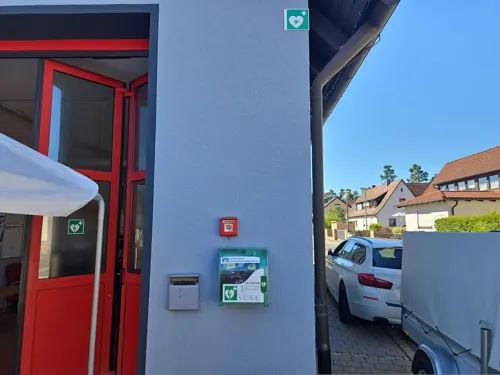
Taverne-Areti
Restaurant · Greek · 6.1 km
2 Pfeifferhütter Weg, Burgthann
Mo off; Tu-Sa 17:00-22:00; Su 11:00-14:00, 17:00-22:00


Gabriel's Café Ristorante
Restaurant · Italian · 4.9 km
12 Centrum
Mo-Fr 11:00-23:00; Sa 16:00-23:00; Su 11:00-23:00
46 more on the map.
Where to stay2
Churches and places of worship17
St. Jakobus der Ältere
Church · Roman Catholic · 5.2 km
54 Neumarkter Straße, Postbauer-Heng
St. Johann Baptist
Church · Roman Catholic · 5.1 km
1 Ezelsdorfer Straße, Postbauer-Heng
Shopping18
Gas and EV charging5
Schools, colleges and libraries9
Healthcare4
Map of Pyrbaum
187 places. The map loads OpenStreetMap tiles when you open it.
Getting there and nearby towns
Albrecht Dürer Airport Nuremberg (NUE) is the nearest airport with scheduled flights listed in OpenStreetMap, 27 km away.
- Burgthann 6 km north, about 6 min by car
- Feucht 10 km northwest, about 10 min by car
- Altdorf bei Nürnberg 11 km northeast, about 11 min by car
- Wendelstein 12 km northwest, about 12 min by car
- Neumarkt in der Oberpfalz 13 km east, about 13 min by car
- Hilpoltstein 14 km southwest, about 14 min by car
- Roth 15 km west, about 15 min by car
- Schwabach 19 km west, about 19 min by car
- Röthenbach an der Pegnitz 21 km north, about 21 min by car
- Nuremberg 23 km northwest, about 23 min by car
Drive times are estimates from straight-line distance, not routes.
Local news
Headlines from INDB.
Reviews, tips and questions
Loading what members have shared...
Sources and licences
- GeoNames (CC BY 4.0): population, coordinates, regions and time zone
- Mapillary (see each image): photos
- OpenStreetMap contributors (ODbL 1.0): places, airports, map data
- Wikidata (CC0 1.0): elevation, founding date, time zone, website
- Wikimedia Commons (see each image): photos
- Wikipedia (CC BY-SA 4.0): overview and history text
Photo credits
- Pyrbaum 001, Wolkenkratzer, CC BY-SA 4.0
- Pyrbaum 03, Derzno, CC BY 3.0
- Pyrbaum 05, Derzno, CC BY 3.0
- Pyrbaum Büttltor, Padd y, CC BY-SA 4.0
- Pyrbaum Ortskern 01, Derzno, CC BY 3.0
- Pyrbaum 06, Derzno, CC BY 3.0
- Pyrbaum Ortskern, Sarus7345, CC BY-SA 3.0
- Pyrbaum 04, Derzno, CC BY 3.0
- Pyrbaum 02, Derzno, CC BY 3.0
- Büchervitrine Schlossgraben Pyrbaum, Padd y, CC BY-SA 4.0
- Pyrbaum 01, Derzno, CC BY 3.0
- Bf Pyrbaum, Nukommstdu, CC BY-SA 3.0
- Altes Bahnhofsgebäude in Pyrbaum - panoramio, Siegmar S., CC BY-SA 3.0
- Luther-Kirche Postbauer 001, DALIBRI, CC BY-SA 3.0
- 2020 St. Wolfgang 01, Derzno, CC BY-SA 4.0
- Oberferrieden 01, Derzno, CC BY 3.0
- Schleuse 33 01, Derzno, CC BY 3.0
- 2020 Unterferrieden Filialkirche St. Maria 01, Derzno, CC BY-SA 4.0
- Steinkreuz Pfeifferhuette 01, Derzno, CC BY 3.0
- Schleuse 37 03, Derzno, CC BY 3.0
- LMDK Schleuse 39 02, Derzno, CC BY 3.0
- LMDK Schleuse 42 06, Derzno, CC BY 3.0
- LMDK Schleuse 46 04, Derzno, CC BY 3.0
- LMDK Schleuse 49 04, Derzno, CC BY 3.0
- LMDK Schleuse 44 01, Derzno, CC BY 3.0
- Gasthaus D-3-73-156-40 01, Derzno, CC BY 3.0
- Steinkreuz Oberhembach 06, Derzno, CC BY 3.0
- St Johann Baptist - Postbauer NM 001, DALIBRI, CC BY-SA 3.0
- St. Cäcilia - Pavelsbach 007, DALIBRI, CC BY-SA 3.0
- 2018 LDMK Mühlbachdamm 03, Derzno, CC BY-SA 4.0
- Christkönig-Kirche - Burgthann 004, DALIBRI, CC BY-SA 4.0
- Christuskirche - Allersberg 006, DALIBRI, CC BY-SA 3.0
- St Elisabeth Postbauer-Heng 043, DALIBRI, CC BY-SA 3.0
- Steinkreuz Pfeifferhuette 03, Derzno, CC BY 3.0
- Steinkreuz Pfeifferhuette 05, Derzno, CC BY 3.0
- Steinkreuz Unterferrieden 04, Derzno, CC BY 3.0
- St. Jakobus - Heng NM 006, DALIBRI, CC BY-SA 3.0
- 2018 LDMK Schleusentreppe, Derzno, CC BY-SA 4.0
- 2018 LDMK Mühlbachdamm 02, Derzno, CC BY-SA 4.0
- Schleuse 33 08, Derzno, CC BY 3.0
- Street-level photo, HAmapi, CC BY-SA 4.0
- Street-level photo, wegavision, CC BY-SA 4.0
- Street-level photo, derzornigemarkus, CC BY-SA 4.0
- Street-level photo, bigbug21, CC BY-SA 4.0
- Street-level photo, HeiKue, CC BY-SA 4.0
- Street-level photo, HAmapi, CC BY-SA 4.0
- Street-level photo, HeiKue, CC BY-SA 4.0
- Street-level photo, HeiKue, CC BY-SA 4.0
- Street-level photo, msdess, CC BY-SA 4.0
- Street-level photo, derzornigemarkus, CC BY-SA 4.0
- Street-level photo, wegavision, CC BY-SA 4.0
- Street-level photo, HeiKue, CC BY-SA 4.0
- Street-level photo, HeiKue, CC BY-SA 4.0


Page built November 9, 2026. Spotted a mistake? Tell us or suggest a place.