


Why visit Ritterhude
Townapedia lists 18 museums and landmarks, 37 parks and trails, 101 places to eat, 5 places to stay and 7 attractions in and around town.
Highlights include Vollers Hof, Gräfin Emma, Gut Hohekamp and Knoops Park.
Weather in Ritterhude
Forecast from MET Norway (CC BY 4.0). Full forecast
About Ritterhude
Ritterhude (German pronunciation: [ˈʁɪtɐˌhuːdə]; Low German: Hu’e) is a municipality in the district of Osterholz, in Lower Saxony, Germany. It is situated on the river Hamme, approx. 6 km southwest of Osterholz-Scharmbeck, and 13 km northwest of Bremen.
From the Wikipedia article Ritterhude (this version), under CC BY-SA 4.0.
Things to do7


Museums and landmarks18

Gräfin Emma
Monument and historic site · 3.4 km
Lebensgroße Bronzestatue zu Ehren der milidtätigen Gräfin, die dem Volk die Bürgerweide geschenkt hat. Ein Gebiet, das ein Krüppel von...

Altes Schöpfwerk Wasserhorst
Monument and historic site · 2.6 km
Anlage mit westlich liegendem Sperrwerk, Gebäuderesten und ausgestellten historischen Maschinenteilen
6 more on the map.
Parks, trails and playgrounds37

Knoops Park
Park · 4.7 km
Kulturdenkmal, siehe http://wiki.openstreetmap.org/wiki/Bremen/Kulturdenkm%C3%A4ler


Heerweger Moor und Quellbereiche der Ritterhuder Beeke
Hiking and trails · 1.4 km



ESV Blau-Weiß Bremen - Ritterhude
Marina and boat launch · 2.4 km
25 more on the map.
Restaurants and cafes101

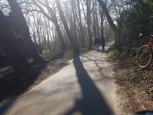
Café Knoops Park
Cafe · 4.1 km
Lauschig unter schattigen Bäumen an der Lesum gelegen, fernab vom Trubel
4A Admiral-Brommy-Weg, Bremen
Fr-Tu 12:00-18:00
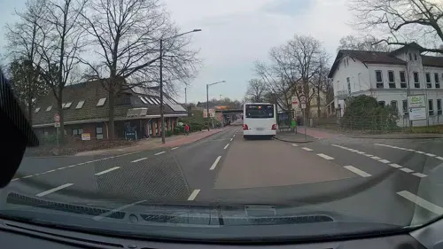
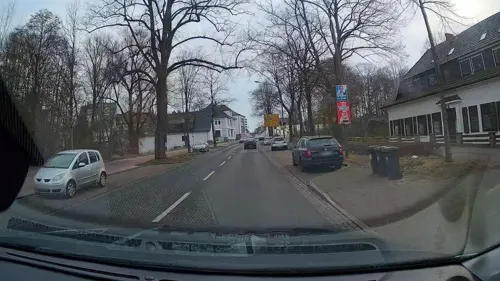
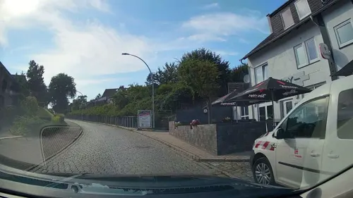
Hotel-Restaurant Jägerstuben
Restaurant · Breakfast, Burger, Chicken, Friture, German
23 Struckbergstraße, Ritterhude
Mo-Fr 06:00-09:00, 18:00-22:00; Sa 07:00-10:00, 18:00-22:00
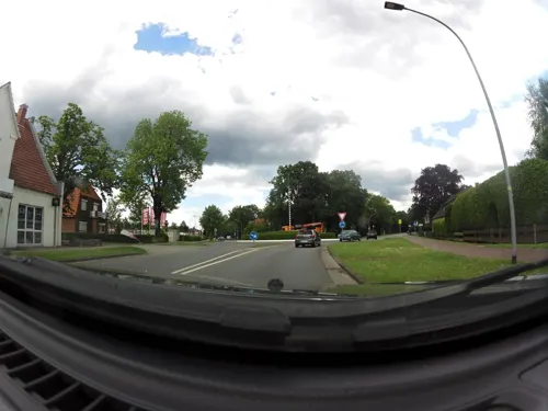
Lintel's
Restaurant · Burger · 4.7 km
66 Ritterhuder Straße, Osterholz-Scharmbeck
closed "Vorübergehend geschlossen"
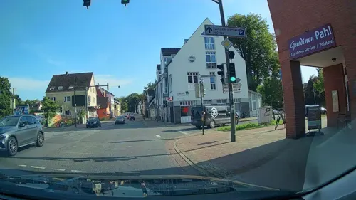
Steak House an der Lesum
Restaurant · Steak House, Balkan · 3.7 km
4f Lesumbroker Landstraße, Bremen
Mo,We-Sa 12:00-14:30,17:30-23:00; Su,PH 12:00-15:00,17:30-23:00
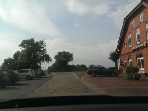
Asiana
Restaurant · Asian · 2.8 km
51 Bremer Heerstraße, Bremen
Tu-Th 11:00-21:30; Fr-Su,PH 11:00-22:30

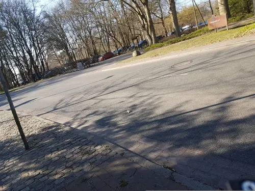


89 more on the map.
History
First mention in 1182 in a document of the monastery of Osterholz. The house 'von der Hude' is being mentioned for the first time in a document in 1185. The castle 'Huda' was used in 1309 to protect the passage over the Hamme River at the 'Heerweg' from Hamburg to Bremen. The number of inhabitants increased from 52 families in the year 1568 to 89 in the year 1710. In 1757, both castle and bridge were destroyed during the Seven Years' War.
Ritterhude belonged to the Prince-Archbishopric of Bremen. In 1648, the Prince-Archbishopric was transformed into the Duchy of Bremen, which was first ruled in personal union by the Swedish and, from 1715 onwards, by the Hanoverian Crown. In 1823, the Duchy was abolished and its territory became part of the Stade Region.
From the History section of Ritterhude on Wikipedia, under CC BY-SA 4.0.
Where to stay5
Churches and places of worship17
Shopping35
Gas and EV charging12
Classic Tankstelle
Gas station · 5.0 km
46 Ritterhuder Straße, Osterholz-Scharmbeck
Schools, colleges and libraries28
Arbeiter-Samariter-Bund Landesverband Bremen e.V. Bildungszentrum Ritterhude
School · 0.9 km
9 Ringstraße, Ritterhude
Healthcare9
Map of Ritterhude
250 places. The map loads OpenStreetMap tiles when you open it.
Getting there and nearby towns
Bremen Airport (BRE) is the nearest airport with scheduled flights listed in OpenStreetMap, 16 km away.
- Schwanewede 11 km northwest, about 11 min by car
- Bremen 13 km south, about 13 min by car
- Stuhr 17 km south, about 17 min by car
- Syke 31 km south, about 31 min by car
- Oldenburg 35 km west, about 35 min by car
- Wildeshausen 38 km southwest, about 38 min by car
- Wardenburg 38 km west, about 38 min by car
- Zeven 38 km east, about 38 min by car
- Schiffdorf 39 km north, about 39 min by car
- Bremerhaven 43 km north, about 43 min by car
Drive times are estimates from straight-line distance, not routes.
Local news
Headlines from INDB.
Reviews, tips and questions
Loading what members have shared...
Sources and licences
- GeoNames (CC BY 4.0): population, coordinates, regions and time zone
- Mapillary (see each image): photos
- OpenStreetMap contributors (ODbL 1.0): places, airports, map data
- Wikidata (CC0 1.0): elevation, founding date, time zone, website, landmarks and historic places
- Wikimedia Commons (see each image): photos
- Wikipedia (CC BY-SA 4.0): overview and history text
Photo credits
- Flug -Nordholz-Hammelburg 2015 by-RaBoe 0139 - Ritterhude, © Ra Boe / Wikipedia, CC BY-SA 3.0 de
- Dietrich Arfmann-Ritterhude, ChikagoDeCuba, CC BY 4.0
- Flug -Nordholz-Hammelburg 2015 by-RaBoe 0140 - Ritterhude, © Ra Boe / Wikipedia, CC BY-SA 3.0 de
- Fabian Albrecht CDU Ritterhude, Fabian.alb, CC BY-SA 4.0
- Bahnhofsschild Ritterhude 170709, Clic, CC BY-SA 4.0
- Friedhorstpark 20160619, دوست خوب, CC BY-SA 4.0
- Campus, Jacobs University Bremen, 2006, IUB, CC BY-SA 3.0
- Ritterhude Kirche, own work /selbst fotografiert, Public domain
- Knoops park 1, Unknown author, CC BY-SA 2.5
- Bremen-Lesum St-Martini 01, Joern M, CC BY-SA 3.0
- St.Juergen-außen, Florean Fortescue, Public domain
- 90646 Wasserhorst Kirche v WSW, Ulamm ( talk ), CC BY-SA 4.0
- Bremen-Burglesum Grambker-Kirche 01, Joern M, CC BY-SA 3.0
- Kirche stmagni, MiraculixHB, CC BY 3.0
- EmmaVonLesum, Quarz, CC BY-SA 3.0 de
- SchuleLandskronastr201908, HVL2.0 ( talk ), CC BY-SA 4.0
- Schönebecker Aue (Weser) im Naturschutzgebiet Schönebecker Aue, Smarties, CC BY-SA 4.0
- Bremen-Burglesum St-Brigitta 01, Joern M, CC BY-SA 3.0
- Schonebecker Aue 01, MiracluixHB, Public domain
- Bremen lesum st martini kirche 2006, Ralf Roeber, zeitfenster, CC BY-SA 3.0
- St.Juergen-außen (bearb Sp 3), Florean Fortescue, Public domain
- Kirche St Magni 01, Wilfried Willker, CC BY-SA 4.0
- Flug -Nordholz-Hammelburg 2015 by-RaBoe 0141 - Hamme, © Ra Boe / Wikipedia, CC BY-SA 3.0 de
- Flug -Nordholz-Hammelburg 2015 by-RaBoe 0138 - Bremen-Nord, © Ra Boe / Wikipedia, CC BY-SA 3.0 de
- Flug -Nordholz-Hammelburg 2015 by-RaBoe 0137 - Ihlpohl, © Ra Boe / Wikipedia, CC BY-SA 3.0 de
- Dop10rgb 32 4815 58920 05 hb 2025, Quellenvermerk: Landesamt GeoInformation Bremen, CC BY 4.0
- Flug -Nordholz-Hammelburg 2015 by-RaBoe 0142 - Burgdamm, © Ra Boe / Wikipedia, CC BY-SA 3.0 de
- Flug -Nordholz-Hammelburg 2015 by-RaBoe 0143 - Burgdamm, © Ra Boe / Wikipedia, CC BY-SA 3.0 de
- Dop10rgb 32 4820 58915 05 hb 2025, Quellenvermerk: Landesamt GeoInformation Bremen, CC BY 4.0
- Flug -Nordholz-Hammelburg 2015 by-RaBoe 0136 - Ihlpohl, © Ra Boe / Wikipedia, CC BY-SA 3.0 de
- Flug -Nordholz-Hammelburg 2015 by-RaBoe 0144 - Burglesum, © Ra Boe / Wikipedia, CC BY-SA 3.0 de
- Dop10rgb 32 4815 58915 05 hb 2025, Quellenvermerk: Landesamt GeoInformation Bremen, CC BY 4.0
- Dop10rgb 32 4810 58925 05 hb 2025, Quellenvermerk: Landesamt GeoInformation Bremen, CC BY 4.0
- Flug -Nordholz-Hammelburg 2015 by-RaBoe 0145 - Lesum, © Ra Boe / Wikipedia, CC BY-SA 3.0 de
- Dop10rgb 32 4810 58920 05 hb 2025, Quellenvermerk: Landesamt GeoInformation Bremen, CC BY 4.0
- Flug -Nordholz-Hammelburg 2015 by-RaBoe 0146 - Wümme, © Ra Boe / Wikipedia, CC BY-SA 3.0 de
- Street-level photo, StefanS79, CC BY-SA 4.0
- Street-level photo, StefanS79, CC BY-SA 4.0
- Street-level photo, StefanS79, CC BY-SA 4.0
- Street-level photo, StefanS79, CC BY-SA 4.0
- Street-level photo, StefanS79, CC BY-SA 4.0
- Street-level photo, StefanS79, CC BY-SA 4.0
- Street-level photo, hubert87, CC BY-SA 4.0
- Street-level photo, zoegglmeyr1, CC BY-SA 4.0
- Street-level photo, StefanS79, CC BY-SA 4.0
- Street-level photo, live, CC BY-SA 4.0
- Street-level photo, StefanS79, CC BY-SA 4.0
- Street-level photo, StefanS79, CC BY-SA 4.0
- Street-level photo, StefanS79, CC BY-SA 4.0
- Street-level photo, StefanS79, CC BY-SA 4.0
- Street-level photo, live, CC BY-SA 4.0
- Street-level photo, abmap, CC BY-SA 4.0
- Street-level photo, hubert87, CC BY-SA 4.0
- Street-level photo, StefanS79, CC BY-SA 4.0
- Street-level photo, StefanS79, CC BY-SA 4.0
- Street-level photo, StefanS79, CC BY-SA 4.0
- Street-level photo, StefanS79, CC BY-SA 4.0
- Street-level photo, geogast, CC BY-SA 4.0
- Street-level photo, manfredi, CC BY-SA 4.0
- Street-level photo, StefanS79, CC BY-SA 4.0


Page built November 8, 2026. Spotted a mistake? Tell us or suggest a place.