


Why visit Stuhr
Townapedia lists 40 museums and landmarks, 51 parks and trails, 256 places to eat, 21 places to stay and 14 attractions in and around town.
Highlights include Schnürschuh Theater, Theater am Goetheplatz, Bismarck monument and Focke Museum.
Weather in Stuhr
Forecast from MET Norway (CC BY 4.0). Full forecast
About Stuhr
Stuhr (German pronunciation: [ʃtuːɐ̯] ) is a municipality in the district of Diepholz, in Lower Saxony, Germany. It is situated approximately 7 km southwest of Bremen. The biggest cities in Stuhr are Brinkum, Fahrenhorst, Groß Mackenstedt, Heiligenrode (Neukrug), Moordeich, Seckenhausen, Stuhr and Varrel. The most populous of these is Brinkum.
From the Wikipedia article Stuhr (this version), under CC BY-SA 4.0.
Photos of Stuhr


Things to do14


Theater am Goetheplatz
Cinema and theater · 6.1 km
Theater in Bremen, Germany

Brinkumer Hofladen
Farm and orchard · 3.8 km
Mo,We 16:00-18:00; Fr 10:00-13:00,16:00-18:30; Sa 10:00-14:00;PH off


Fischer's Milcheck
Farm and orchard · 0.6 km
Mo-Fr 06:30-22:00, Sa,Su,PH 07:00-22:00
2 more on the map.
Museums and landmarks40

Bismarck monument
Monument and historic site · 6.1 km
Bismarck monument outside the cathedral in Bremen, Germany

Focke Museum
Museum · 10.1 km
Museum of history and the history of art for the city and state of Bremen

Focke's wind tunnel
Museum · 6.9 km
Wind tunnel as a museum in Bremen, Germany


Paula Modersohn-Becker Museum
Museum · 6.0 km
Museum in Bremen, Germany

Teerhof
Monument and historic site · 5.8 km
Peninsula opposite the city centre of Bremen, Germany

The Caller
Monument and historic site · 6.0 km
Sculpture series by Gerhard Marcks

Galerie & Atelier »Unikate im Fluss«
Museum · 4.9 km
35 Lahnstraße, Bremen
We 16:00-18:00; Fr,Sa 11:00-13:00 || "nach Vereinbarung"

Gefallenendenkmal der Technischen Lehranstalten
Monument and historic site · 5.1 km
Das Denkmal wurde 1988 umgestoßen und 1992 durch eine erklärende Tafel in ein Mahnmal umgewandelt.
Bremenhalle
Museum · 3.2 km
Galerie der Luft- und Raumfahrt
Mo-Su 10:00-18:00; Dec 24-26,Dec 31 off; Jan 01 off
28 more on the map.
Parks, trails and playgrounds51



Bremer Abenteuerland
Playground · 4.1 km
7 Luxemburger Weg, Stuhr
Mo-Fr 14:00-19:00; Sa,Su,PH,SH 10:00-19:00



Frisbee DiscGolf 9 Bahn Stuhr Brinkum
Golf course · 3.8 km
Mo-We 09:30-21:30; Th 09:00-12:30,15:30-20:30; Fr 09:00-20:30; Sa...
39 more on the map.
Restaurants and cafes256
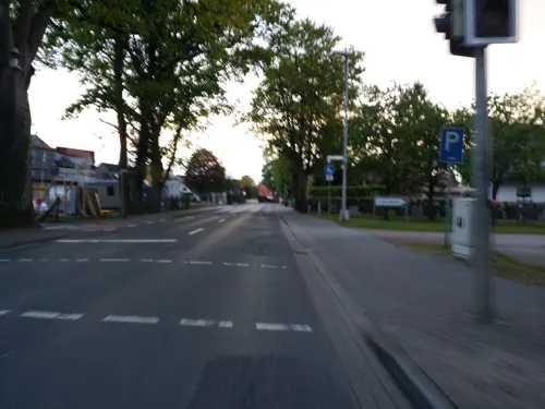
Tee-Stube Anita Schmücker
Cafe · Regional · 0.9 km
Galerie/ Kunstgewerbe
17 Stuhrer Landstraße, Stuhr
Mo-Sa 08:00-18:00; Su 10:00-18:00
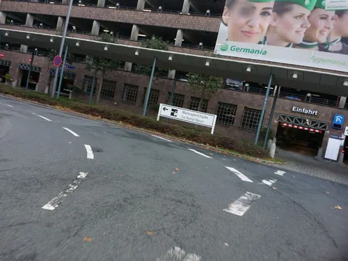
Asien Bankett
Restaurant · Asian · 3.2 km
18-20 Flughafenallee
Mo off; Tu-Sa 11:30-15:00,17:30-22:00; Su,PH 12:00-15:00,17:30-22:00
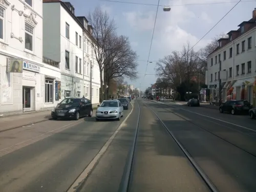
Francesco
Restaurant · Italian · 5.1 km
117 Langemarckstraße, Bremen
Tu-Sa 17:45+; Su 12:00-14:00,17:30+; Mo off
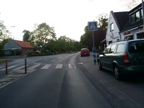
Golden India im Varreler Krug
Restaurant · Indian · 3.3 km
103 Varreler Landstraße, Stuhr
Tu 17:00-22:00; We-Sa 11:30-14:00, 17:00-22:00; Su 12:00-21:30
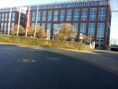
Koi's
Restaurant · German · 3.6 km
23a Otto-Lilienthal-Straße, Bremen
Mo-Th 08:00-16:00; Fr 08:00-15:00; PH off
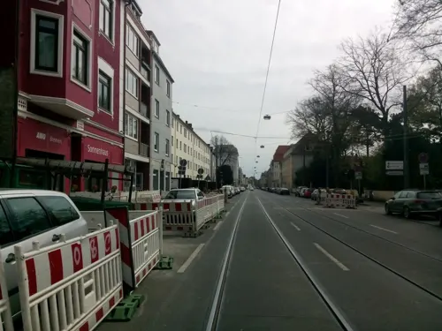
Radieschen - Kaffee und Erinnerungen
Cafe · Regional · 5.1 km
65 Buntentorsteinweg, Bremen
We-Fr 12:00-18:00; Sa-Su 11:00-18:00

Da Vittorio
Restaurant · Italian · 5.0 km
5 Beginenhof, Bremen
Su, Tu-Fr 12:00-14:30, 18:00-22:30; Sa 18:00-22:30
Foodbox
Restaurant · Burger, Fish And Chips · 5.1 km
112 Hermann-Ritter-Straße, Bremen
Mo-Fr 11:30-15:00
Kreta
Restaurant · Greek · 4.7 km
20 Gastfeldstraße, Bremen
Mo-Sa 17:30-22:00; Su 12:00-14:30,17:30-22:00
PizzaExpress
Restaurant · Pizza · 4.6 km
131 Gastfeldstraße, Bremen
Mo-Fr 17:00-23:00; Sa,Su,PH 12:00-23:00
Post-Kantine
Restaurant · German · 2.7 km
22 Hanna-Kunath-Straße, Bremen
Mo-Fr 06:30-16:00; Sa,Su,PH off
244 more on the map.
Notable people from Stuhr
 Gerhard WiltfangWest German equestrian (1946-1997)Photo: Ron Kroon / Anefo, CC0
 Paul MehlGerman footballerPhoto: Schneemann1983, CC BY-SA 4.0
Born in Stuhr, according to Wikidata (CC0). Each name links to its Wikipedia article.
Where to stay21
Churches and places of worship32
Shopping86
Gas and EV charging30
Schools, colleges and libraries39
Healthcare25
Apotheke in der Huchtinger Heerstraße
Clinic and pharmacy · 2.7 km
26-28 Huchtinger Heerstraße, Bremen
Map of Stuhr
250 places. The map loads OpenStreetMap tiles when you open it.
Getting there and nearby towns
Bremen Airport (BRE) is the nearest airport with scheduled flights listed in OpenStreetMap, 3 km away.
- Bremen 6 km northeast, about 6 min by car
- Delmenhorst 8 km west, about 8 min by car
- Ganderkesee 14 km west, about 14 min by car
- Syke 14 km south, about 14 min by car
- Lilienthal 16 km northeast, about 16 min by car
- Ritterhude 17 km north, about 17 min by car
- Lemwerder 17 km northwest, about 17 min by car
- Oyten 18 km east, about 18 min by car
- Achim 19 km east, about 19 min by car
- Bassum 20 km south, about 20 min by car
Drive times are estimates from straight-line distance, not routes.
Towns near Stuhr


Keep exploring
Local news
Headlines from INDB.
Reviews, tips and questions
Loading what members have shared...
Sources and licences
- GeoNames (CC BY 4.0): population, coordinates, regions and time zone
- Mapillary (see each image): photos
- OpenStreetMap contributors (ODbL 1.0): places, airports, map data
- Wikidata (CC0 1.0): elevation, founding date, time zone, website, landmarks and historic places
- Wikimedia Commons (see each image): photos
- Wikipedia (CC BY-SA 4.0): overview and history text
Photo credits
- Stuhr-Kirche-200070923-K, BangertNo, CC BY 3.0
- St. Pankratius (Stuhr) 4, Gerd Fahrenhorst, CC BY 4.0
- Kreissparkasse in Stuhr 1, Gerd Fahrenhorst, CC BY 4.0
- St. Pankratius (Stuhr) 3, Gerd Fahrenhorst, CC BY 4.0
- Terrakotta-Skulptur bei Sparkasse Stuhr 1, Gerd Fahrenhorst, CC BY 4.0
- Terrakotta-Skulptur bei Sparkasse Stuhr 2, Gerd Fahrenhorst, CC BY 4.0
- Kreissparkasse in Stuhr 2, Gerd Fahrenhorst, CC BY 4.0
- Terrakotta-Skulptur bei Sparkasse Stuhr 3, Gerd Fahrenhorst, CC BY 4.0
- St. Pankratius (Stuhr) 2, Gerd Fahrenhorst, CC BY 4.0
- St. Pankratius (Stuhr) 1, Gerd Fahrenhorst, CC BY 4.0
- Rathaus Stuhr Westseite, Gerd Fahrenhorst, CC BY 4.0
- Rathaus Stuhr 1, Gerd Fahrenhorst, CC BY 4.0
- Stempel-Kreuz Stuhr 2, Gerd Fahrenhorst, CC BY 4.0
- Stempel-Kreuz Stuhr 1, Gerd Fahrenhorst, CC BY 4.0
- Rathaus Stuhr 2, Gerd Fahrenhorst, CC BY 4.0
- Spazierstöcke am Rathaus Stuhr 2, Gerd Fahrenhorst, CC BY 4.0
- Spazierstöcke am Rathaus Stuhr 1, Gerd Fahrenhorst, CC BY 4.0
- Terrakotta-Plastik am Eingang Rathaus Stuhr, Gerd Fahrenhorst, CC BY 4.0
- Rathaus Stuhr 3, Gerd Fahrenhorst, CC BY 4.0
- Bahnhof Stuhr 2021 Foto 1, Gerd Fahrenhorst, CC BY 4.0
- Bahngleis in Stuhr, Gerd Fahrenhorst, CC BY 4.0
- Bahnhof Stuhr 2021 Foto 2, Gerd Fahrenhorst, CC BY 4.0
- Theater Bremen 106-dvfLd, Pedelecs, CC BY-SA 3.0
- Bismarck-Denkmal 2007-2, Jaggele25 ( talk ), CC BY-SA 3.0
- FockeMuseum-01, Jürgen Howaldt, CC BY-SA 2.0 de
- Fockewindkanalvor, Dr. Ing. Kai Steffen, CC BY-SA 3.0
- Ostertorwache Gerhard-Marcks-Haus, Jürgen Howaldt, CC BY-SA 2.0 de
- Bremen, die Kunsthalle, Dguendel, CC BY 4.0
- Roseliushaus - LfD1501 - jh15, Godewind ( talk ), CC BY-SA 4.0
- Teerhof-05, Jürgen Howaldt, CC BY-SA 3.0 de
- Skulptur Straße des 17 Juni (Tierg) Der Rufer Gerhard Marcks, OTFW , Berlin, CC BY-SA 3.0
- 1995 Park Hotel HB, Monster4711, CC0
- Kleine Weser und Werdersee, Braegel, CC BY-SA 3.0
- Bremen Liebfrauenkirche aus der Hakenstr987, Ulamm ( talk ) 20:33, 30 December 2016 (UTC), CC BY-SA 4.0
- StMartiniBremen-01a, Jürgen Howaldt, CC BY-SA 2.0 de
- StAnsgariiBremen-01, Jürgen Howaldt, CC BY-SA 2.0 de
- StJohann-01, Jürgen Howaldt, CC BY-SA 2.0 de
- Hochschule Bremen, Gerhard kemme, CC0
- Bremen-Neustadt Zionskirche 01, Joern M, CC BY-SA 3.0
- WWS frontStrasse, Wagenfeld, Public domain
- Kladdinger Wiesen, Kiwi05, CC BY-SA 4.0
- Bremen-Huchting St. Georg (01), Günter Dantz, CC BY 4.0
- Jacobihalle - Bremen - 1890, Bernhard Wiegandt, Public domain
- Bremen-Grolland St-Lukas 01, Joern M, CC BY-SA 3.0
- RolandCenter, Neroben, CC BY-SA 3.0
- Bremen Klinikum LDW, Reise Reise, CC BY-SA 3.0
- Bremen Stadtbibliotek - panoramio, Piotr Kubowicz, CC BY 3.0
- SchnuerschuhTheater, Jürgen Howaldt, CC BY-SA 3.0 de
- Vogelschutzgehölz Sodenmatt, GrotheerR, CC BY-SA 4.0
- Wolfskuhlenpark, Braegel, CC BY-SA 3.0
- 90470 Stuhr Pankratiuskirche v OSO, Ulamm ( talk ), CC BY-SA 4.0
- Kirche zum heiligen Kreuz Stuhr Brinkum, Wilhelmine Wulff, CC BY 3.0
- Bremen-Neustadt Herz-Jesu-Kirche 01, Joern M, CC BY-SA 3.0
- Bremen-Neustadt Kirche-Hohentorgemeinde 01, Joern M, CC BY-SA 3.0
- Huchting OchtumPark, Roland Kutzki, CC BY-SA 3.0
- Bremen, Böttcherstraße, Eingang zum Paula Modersohn-Becker Museum, Dguendel, CC BY 4.0
- Street-level photo, hubert87, CC BY-SA 4.0
- Street-level photo, abmap, CC BY-SA 4.0
- Street-level photo, abausd, CC BY-SA 4.0
- Street-level photo, StefanS79, CC BY-SA 4.0
- Street-level photo, thewizard, CC BY-SA 4.0
- Street-level photo, abausd, CC BY-SA 4.0
- Street-level photo, abausd, CC BY-SA 4.0
- Street-level photo, abmap, CC BY-SA 4.0
- Street-level photo, abausd, CC BY-SA 4.0
- Street-level photo, abmap, CC BY-SA 4.0
- Street-level photo, hubert87, CC BY-SA 4.0
- Street-level photo, thewizard, CC BY-SA 4.0
- Street-level photo, hubert87, CC BY-SA 4.0
- Street-level photo, hubert87, CC BY-SA 4.0
- Street-level photo, hubert87, CC BY-SA 4.0
- Street-level photo, hubert87, CC BY-SA 4.0
- Street-level photo, hubert87, CC BY-SA 4.0
- Street-level photo, moenk, CC BY-SA 4.0
- Street-level photo, xanu, CC BY-SA 4.0
- Street-level photo, geogast, CC BY-SA 4.0
- Street-level photo, geogast, CC BY-SA 4.0
- Street-level photo, geogast, CC BY-SA 4.0
- Street-level photo, hubert87, CC BY-SA 4.0
- Street-level photo, xanu, CC BY-SA 4.0
- Street-level photo, hubert87, CC BY-SA 4.0
- Street-level photo, geogast, CC BY-SA 4.0


Page built November 9, 2026. Spotted a mistake? Tell us or suggest a place.