


Why visit Rutesheim
Townapedia lists 15 museums and landmarks, 25 parks and trails, 47 places to eat, 4 places to stay and 12 attractions in and around town.
Highlights include Bentel Mühle, Hofladen in der Pinadelle, Bauernhausmuseum Gebersheim and Kugelbahn am Naturtheater.
Weather in Rutesheim
Forecast from MET Norway (CC BY 4.0). Full forecast
About Rutesheim
Rutesheim (German pronunciation: [ˈʁuːtəsˌhaɪm] ) is a town located in the district of Böblingen, Baden-Württemberg, Germany.
From the Wikipedia article Rutesheim (this version), under CC BY-SA 4.0.
Things to do12
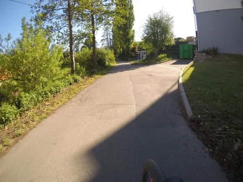
Bentel Mühle
Farm and orchard · 3.9 km
10 Mühlweg, Weissach
We,Sa 09:00-12:00; Th,Fr 09:00-12:00, 15:00-18:00; Su-Tu off
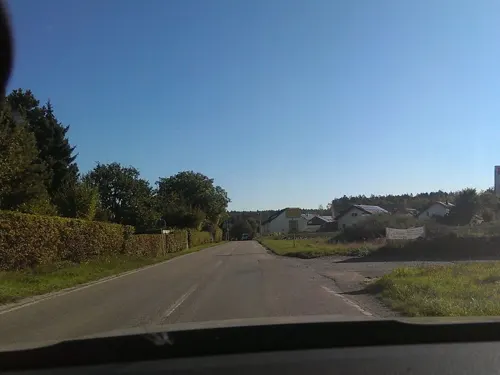
Hofladen in der Pinadelle
Farm and orchard · 3.0 km
11 Heimsheimer Straße, Rutesheim
Tu-Fr 09:00-12:30, 14:30-18:00; Sa 09:00-12:30



Frische eigensangebaute Katoffeln und Äpfel
Farm and orchard · 2.8 km
Mo-Sa 09:00-20:00
Museums and landmarks15


Kugelbahn am Naturtheater
Monument and historic site · 3.5 km
50m lange Holzkugelbahn entlang des Waldwegs am Naturtheater
Am Längenbühl
24/7

Bunker-Ruinen
Monument and historic site · 2.6 km
Bunkerreste entlang des Militärwegs
Naturdenkmal Doline im Reihenfeld
Monument and historic site · 2.4 km
Naturdenkmal von der Naturschutzbehörde verordnet
Naturdenkmal gr. Doline 100x40x15m
Monument and historic site · 2.1 km
Naturdenkmal mit Hinweistafel
3 more on the map.
Parks, trails and playgrounds25





Freibad Renningen
Sports field and stadium · 4.0 km
Mo-Fr 07:00-20:00; Sa,Su 08:00-20:00

13 more on the map.
Restaurants and cafes47
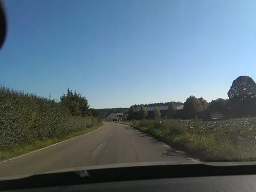
Anna Rosa
Cafe · 3.2 km
Das Hofcafé Anna-Rosa ist ein kleines feines Cafe für Menschen die Nostalgie und gutes Konditoren- und Bäckerhandwerk lieben und...
60 Heimsheimer Straße, Rutesheim
Th-Sa 10:00-17:30
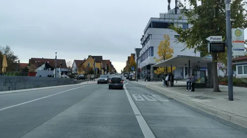
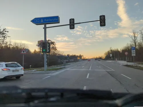
Kraxlalm
Restaurant · German · 1.7 km
2 Am Freizeitpark, Rutesheim
Th-Sa 17:30-23:00; Su,PH 12:00-21:00

Sportheim
Restaurant · Regional · 2.5 km
9 An der Hohlen Eiche, Leonberg
We-Sa 11:00-14:00, 17:00-21:30; Su 11:00-20:00
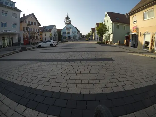
Bistro Philippin
Restaurant · German
9 Flachter Straße, Rutesheim
Mo 07:30-14:00; Tu-Fr 07:30-14:30; Sa 07:00-13:00; PH off
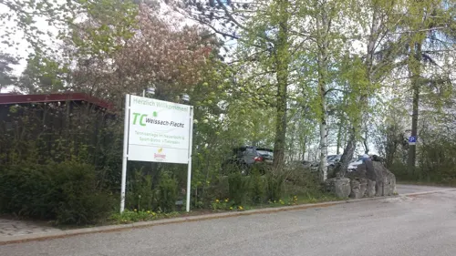
Da Vale - Ristorante & Pizzeria
Restaurant · Italian · 3.0 km
Mo,We,Th,Fr,Su 11:30-14:00,17:30-22:30; Sa 17:30-22:30
Fliegerschänke Malmsheim
Restaurant · German · 3.6 km
90 Perouser Straße, Renningen
Mo,Th,Fr 11:00+; Sa,Su 10:00+
Das Philippin
Restaurant · Cake, Coffee Shop, Breakfast, Ice Cream, Fine Dining
7 Seestraße, Rutesheim
Il Corallo 1.0
Restaurant · Pizza, Italian, Regional, German · 0.7 km
7 Mieminger Weg, Rutesheim
Tu-Sa 17:30-22:00; Su 12:00-22:00


35 more on the map.
History
Rutesheim was first mentioned in the year 767 in a deed from the convent of Lorsch.
The council of ministers decided on 22 January 2008, to award Rutesheim the designation town on 1 July 2008. Prime Minister Oettinger assigned the deed to the town in a ceremonial act on 26 June 2008.
From the History section of Rutesheim on Wikipedia, under CC BY-SA 4.0.
Where to stay4
Churches and places of worship12
Laurentiuskirche
Church · Lutheran · 3.8 km
1 Weissacher Straße, Weissach
Neuapostolische Kirche Renningen
Church · New Apostolic · 4.0 km
26 Alemannenstraße, Renningen
Shopping17
Gas and EV charging5
Schools, colleges and libraries7
Stadtbücherei Zweigstelle Gebersheim
Library · 2.4 km
11 Alte Dorfstraße, Leonberg
Healthcare3
Map of Rutesheim
147 places. The map loads OpenStreetMap tiles when you open it.
Getting there and nearby towns
Manfred Rommel Airport Stuttgart (STR) is the nearest airport with scheduled flights listed in OpenStreetMap, 24 km away.
- Weil der Stadt 8 km southwest, about 8 min by car
- Sindelfingen 13 km southeast, about 13 min by car
- Schwieberdingen 12 km northeast, about 12 min by car
- Vaihingen an der Enz 14 km north, about 14 min by car
- Stuttgart 17 km east, about 17 min by car
- Tamm 18 km northeast, about 18 min by car
- Pforzheim 20 km northwest, about 20 min by car
- Schönaich 19 km southeast, about 19 min by car
- Weil im Schönbuch 22 km southeast, about 22 min by car
- Waiblingen 27 km east, about 27 min by car
Drive times are estimates from straight-line distance, not routes.
Local news
Headlines from INDB.
Reviews, tips and questions
Loading what members have shared...
Sources and licences
- GeoNames (CC BY 4.0): population, coordinates, regions and time zone
- Mapillary (see each image): photos
- OpenStreetMap contributors (ODbL 1.0): places, airports, map data
- Wikidata (CC0 1.0): elevation, founding date, time zone, website
- Wikimedia Commons (see each image): photos
- Wikipedia (CC BY-SA 4.0): overview and history text
Photo credits
- Perouse Kirche 4, E-W, CC BY-SA 3.0
- Christian-Wagner-Bücherei in Rutesheim - panoramio, qwesy qwesy, CC BY 3.0
- Rutesheim, Johanneskirche (03), Subbass1, CC BY-SA 4.0
- Rutesheim, Johanneskirche (02), Subbass1, CC BY-SA 4.0
- Rutesheim, Johanneskirche (01), Subbass1, CC BY-SA 4.0
- Rutesheim, Johanneskirche (04), Subbass1, CC BY-SA 4.0
- Rutesheim, Johanneskirche (05), Subbass1, CC BY-SA 4.0
- Rutesheim, Johanneskirche (15), Subbass1, CC BY-SA 4.0
- Rutesheim, Johanneskirche (14), Subbass1, CC BY-SA 4.0
- Rutesheim, Johanneskirche (13), Subbass1, CC BY-SA 4.0
- Rutesheim, Johanneskirche (16), Subbass1, CC BY-SA 4.0
- Rutesheim, Johanneskirche (26), Subbass1, CC BY-SA 4.0
- Rutesheim, Johanneskirche (18), Subbass1, CC BY-SA 4.0
- Rutesheim, Johanneskirche (25), Subbass1, CC BY-SA 4.0
- Rutesheim, Johanneskirche (17), Subbass1, CC BY-SA 4.0
- Rutesheim, Johanneskirche (09), Subbass1, CC BY-SA 4.0
- Rutesheim, Johanneskirche (20), Subbass1, CC BY-SA 4.0
- Rutesheim, Johanneskirche (19), Subbass1, CC BY-SA 4.0
- Rutesheim, Johanneskirche (12), Subbass1, CC BY-SA 4.0
- Rutesheim, Johanneskirche (10), Subbass1, CC BY-SA 4.0
- Rutesheim, Johanneskirche (11), Subbass1, CC BY-SA 4.0
- Rutesheim, Johanneskirche (23), Subbass1, CC BY-SA 4.0
- Rutesheim, Johanneskirche (22), Subbass1, CC BY-SA 4.0
- Rutesheim, Johanneskirche (24), Subbass1, CC BY-SA 4.0
- Rutesheim, Johanneskirche (21), Subbass1, CC BY-SA 4.0
- Rutesheim, Johanneskirche (08), Subbass1, CC BY-SA 4.0
- Rutesheim, Johanneskirche (06), Subbass1, CC BY-SA 4.0
- Rutesheim, Johanneskirche (07), Subbass1, CC BY-SA 4.0
- Stolpersteine in Rutesheim, 5R-MFT, CC BY-SA 4.0
- Rutesheim mit Hotel Rössle - panoramio, qwesy qwesy, CC BY 3.0
- Blechplattenfassade Pforzheimer Strasse Rutesheim, Harke, CC BY-SA 3.0
- Haus mit Blechplattenfassade Rutesheim, Harke, CC BY-SA 3.0
- Bosch in Rutesheim - panoramio, qwesy qwesy, CC BY 3.0
- Naturschutzgebiet Längenbühl, qwesy qwesy, CC BY 3.0
- NSG Hartmannsberg, Halbtrockenrasen, Friedi13, CC BY-SA 4.0
- Evangelische Auferstehungskirche in Gebersheim - panoramio, qwesy qwesy, CC BY 3.0
- Flacht Laurentiuskirche 2, E-W, CC BY-SA 3.0
- Waldenserkirche Perouse 05, Giftzwerg 88, CC BY-SA 4.0
- SAM 3875A, Drarebe, CC BY-SA 4.0
- Evangelische Kirche Gebersheim (2), Harke, CC BY-SA 3.0
- Naturtheater Renningen - panoramio, qwesy qwesy, CC BY 3.0
- Bauernhausmuseum Gebersheim (1), Harke, CC BY-SA 3.0
- Flacht Heimatmuseum, E-W, CC BY-SA 3.0
- Street-level photo, radius_proxy_de, CC BY-SA 4.0
- Street-level photo, electria, CC BY-SA 4.0
- Street-level photo, radius_proxy_de, CC BY-SA 4.0
- Street-level photo, electria, CC BY-SA 4.0
- Street-level photo, electria, CC BY-SA 4.0
- Street-level photo, live, CC BY-SA 4.0
- Street-level photo, mfa, CC BY-SA 4.0
- Street-level photo, deleted_user, CC BY-SA 4.0
- Street-level photo, mfa, CC BY-SA 4.0
- Street-level photo, ramap, CC BY-SA 4.0
- Street-level photo, wegavision, CC BY-SA 4.0
- Street-level photo, live, CC BY-SA 4.0
- Street-level photo, radius_proxy_de, CC BY-SA 4.0
- Street-level photo, deleted_user, CC BY-SA 4.0
- Street-level photo, mfa, CC BY-SA 4.0
- Street-level photo, radius_proxy_de, CC BY-SA 4.0
- Street-level photo, slowrb, CC BY-SA 4.0
- Street-level photo, mfa, CC BY-SA 4.0
- Street-level photo, radius_proxy_de, CC BY-SA 4.0
- Street-level photo, mfa, CC BY-SA 4.0
- Street-level photo, mfa, CC BY-SA 4.0
- Street-level photo, electria, CC BY-SA 4.0
- Street-level photo, slowrb, CC BY-SA 4.0
- Street-level photo, bigbug21, CC BY-SA 4.0
- Street-level photo, bct, CC BY-SA 4.0
- Street-level photo, bct, CC BY-SA 4.0
- Street-level photo, ramap, CC BY-SA 4.0
- Street-level photo, deleted_user, CC BY-SA 4.0
- Street-level photo, plexi32, CC BY-SA 4.0


Page built November 8, 2026. Spotted a mistake? Tell us or suggest a place.