


Why visit Tamm
Townapedia lists 58 museums and landmarks, 33 parks and trails, 121 places to eat, 5 places to stay and 12 attractions in and around town.
Highlights include Bietigheim Enz Valley Viaduct, Hofladen Aichler, Museumsbunker Ro 1 and Wimpelinhof.
Weather in Tamm
Forecast from MET Norway (CC BY 4.0). Full forecast
About Tamm
Tamm (German pronunciation: [tam]) is a Stadt (town) in the district of Ludwigsburg, Baden-Württemberg, Germany. It is situated 6 km northwest of Ludwigsburg, 4 km south of Bietigheim-Bissingen, and approx. 17 km north of Stuttgart's city center. As of 2020, the town had 12,628 inhabitants.
From the Wikipedia article Tamm (this version), under CC BY-SA 4.0.
Things to do12

Bietigheim Enz Valley Viaduct
Bridge · 4.0 km
Railway bridge in Germany



Hofladen Bäßler
Farm and orchard · 3.0 km
Mo-Th 09:00-12:30,14:30-18:00; We off; Fr 09:00-18:00; Sa 08:00-13:00


Museums and landmarks58


Wimpelinhof
Museum · 3.2 km
2 Wimpelingasse, Markgröningen
Apr-Oct: Su 13:00-17:00; Aug Su[4] off


Landesfruchtkasten
Monument and historic site · 3.1 km
23 Schloßgasse, Markgröningen




46 more on the map.
Parks, trails and playgrounds33

Freibad Asperg
Sports field and stadium · 2.6 km
2 Altachstraße, Asperg
May,Aug,Sep Tu-Fr 09:00-19:30; May,Aug,Sep Sa,Su,PH 08:00-19:30;...


Graf-Hartmann-Straße
Playground · 2.8 km
Apr-Nov: Mo-Sa 08:00-20:00, Su,PH 10:00-20:00; Nov-Apr: Mo-Sa...

21 more on the map.
Restaurants and cafes121

Flohberghaus
Restaurant · Spanish · 2.0 km
7 Am Rotenacker Wald, Markgröningen
Tu-Fr 17:00-00:00; Sa 12:00-00:00; Su 10:00-22:00
Schnitzelfabrik
Restaurant · German
5 Bietigheimer Straße, Tamm
Mo-Tu 11:00-23:00; Th-Su 11:00-23:00; We off
Da Alfonso
Restaurant · Italian
50 Friedrichstraße, Tamm
Mo-Fr 11:00-14:00,17:00-23:00; Sa 17:00-23:00; Su...
Gaststätte Schützenhaus
Restaurant · Regional · 1.3 km
81 Bietigheimer Straße, Tamm
Mo-Fr 11:30-23:00; Sa 11:30-22:00; Su 10:00-22:00; PH 10:00-22:00
Gourmet Tempel
Restaurant · Chinese · 2.4 km
6 Porschestraße, Ludwigsburg
Mo-Th 11:30-15:00,17:30-23:00; Fr-Su 11:30-23:30
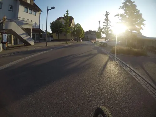
Katz
Bakery · Breakfast, Cake · 0.6 km
102 Hauptstraße, Tamm
Mo-Fr 06:00-18:00; Sa 06:00-13:00; Su 08:00-17:00
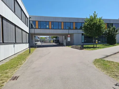
Meraki
Restaurant · Greek · 2.5 km
6 Waldstraße, Bietigheim-Bissingen
Su 11:00-15:00,17:00-21:30; Tu-Fr 17:00-22:30; Sa 12:00-15:00,17:00-22:30
Restaurant Marathon
Restaurant · Greek · 3.1 km
27 Kreuzstraße, Bietigheim-Bissingen
Mo-Su 11:30-15:00,17:25-24:00; Tu 17:25-24:00
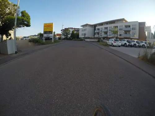
RomaRio
Restaurant · Brazilian, Steak · 0.8 km
Churrascaria
3 Im Länderrain, Tamm
Mo-Sa 17:00-23:00; Su 12:00-23:00; Tu,PH off
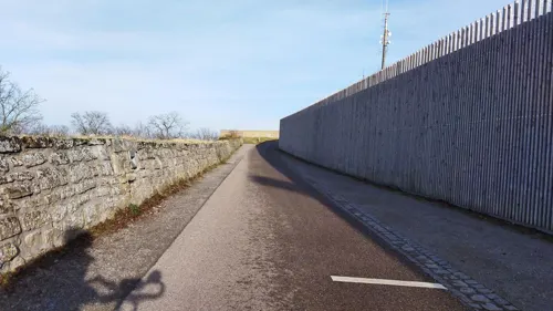
Schubartstube
Restaurant · Regional · 1.9 km
20 Schubartstraße
Apr-Oct We-Sa 17:00-23:30; Apr-Oct,Nov-Mar Su 12:00-21:00; Nov-Mar...
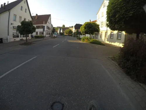
Steakhaus Tango
Restaurant · Argentinian, Steak House · 2.1 km
15 Königstraße, Asperg
Mo-Fr 17:30-21:30; Sa 17:00-22:00; Su 17:00-21:00
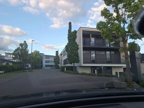


Stöckle Brot&Cafe
Cafe · 2.5 km
2 Werner-Siemens-Straße, Bietigheim-Bissingen
Mo-Fr 06:00-18:00; Sa 06:30-14:00
109 more on the map.
History
Tamm is one of the older settlements in the area. Its first official mentioning was in 1287. In 1351, the village was gifted to Eberhard II, Count of Württemberg by Katherina von Veihingen, a member of the Counts Palatinate of Tübingen.
In the 17th century, Tamm was almost completely destroyed during the Thirty Years' War, and the reconstruction of core buildings, such as the central fortified church of Saint Bartholomew, wasn't complete until 25 years after the war's end in 1648.
During the 18th century Tamm's inhabitants participated in the construction of the Duke of Württemberg's new residence in nearby Ludwigsburg, mostly as socagers. In these days, population skyrocketed, from 543 in 1741 to nearly 1000 in 1800. While Tamm was not directly affected by the Napoleonic Wars, it still suffered from the economic strain put on the entire region. Shortly after the war, in 1816, a famine hit, marking a temporary decline in Tamm's development. During the rest of the 19th century, the village grew steadily, getting connected to the railroad in 1877.
World War I and the economic crisis caused by the defeat and dissolution of the German Empire again had a negative impact on the village.
From the History section of Tamm on Wikipedia, under CC BY-SA 4.0.
Where to stay5
Churches and places of worship19
Heilig-Geist-Kirche
Church · Roman Catholic · 3.1 km
1/3 Spital, Markgröningen
Shopping25
Gas and EV charging8
Schools, colleges and libraries20
Healthcare9
Map of Tamm
250 places. The map loads OpenStreetMap tiles when you open it.
Getting there and nearby towns
Manfred Rommel Airport Stuttgart (STR) is the nearest airport with scheduled flights listed in OpenStreetMap, 27 km away.
- Vaihingen an der Enz 11 km west, about 11 min by car
- Stuttgart 16 km south, about 16 min by car
- Waiblingen 18 km southeast, about 18 min by car
- Winnenden 21 km east, about 21 min by car
- Heilbronn 26 km north, about 26 min by car
- Weil der Stadt 26 km southwest, about 26 min by car
- Weinsberg 29 km northeast, about 29 min by car
- Pforzheim 31 km west, about 31 min by car
- Wendlingen am Neckar 34 km southeast, about 34 min by car
- Wernau 33 km southeast, about 33 min by car
Drive times are estimates from straight-line distance, not routes.
Local news
Headlines from INDB.
Reviews, tips and questions
Loading what members have shared...
Sources and licences
- GeoNames (CC BY 4.0): population, coordinates, regions and time zone
- Mapillary (see each image): photos
- OpenStreetMap contributors (ODbL 1.0): places, airports, map data
- Wikidata (CC0 1.0): elevation, founding date, time zone, website, landmarks and historic places
- Wikimedia Commons (see each image): photos
- Wikipedia (CC BY-SA 4.0): overview and history text
Photo credits
- Tamm Kirche-Kelter, Ikar.us, CC BY 3.0 de
- Tamm Kirche Krieger, Ikar.us, CC BY 3.0 de
- Tamm Blitzschlag-Denkmal, Ikar.us, CC BY 3.0 de
- 20201024 Tamm, Schrauber5, CC BY-SA 4.0
- Tamm Luftaufnahme, Hanindy, CC BY-SA 4.0
- Öffentliches Bücherregal Tamm, Laserlicht, CC BY-SA 4.0
- GruheTammStandort 2020-08, Mussklprozz, CC BY-SA 4.0
- GruheTammWestseite 2020-08, Mussklprozz, CC BY-SA 4.0
- GruheTammOstseite 2020-08, Mussklprozz, CC BY-SA 4.0
- TammGruhe, Mussklprozz, CC BY-SA 3.0
- GruheTammBlickHohenasperg 2020-08, Mussklprozz, CC BY-SA 4.0
- Aerial image of the Bietigheim Viaduct (view from the southeast), Carsten Steger, CC BY-SA 4.0
- AfrikahausFreiberg, Mussklprozz, CC BY-SA 3.0
- Bartholomäuskirche Markgröningen vNO 1034W, P. Fendrich, CC BY 3.0
- Aerial image of the Hohenasperg fortress, Carsten Steger, CC BY-SA 4.0
- Naturschutzwengert im NSG Leudelsbachtal, P. Fendrich, CC BY 3.0
- Nijmegen-stauferstele, Geak, CC BY-SA 4.0
- Wasserturm Markgröningen 2004, Pustekuchen2014, CC0
- Bartholomäus kirche tamm, Derhuebiii, CC BY-SA 3.0
- Spital Turm+Chor 0104 Web, P. Fendrich, CC BY 3.0
- Asperg-Michaelskirche2012, Peter Schmelzle, CC BY-SA 3.0
- MarkgroeningenStadttor, Mussklprozz ( talk ), CC BY-SA 3.0
- Markgröningen Fruchtkasten+Zehntscheuer PF, P. Fendrich, CC BY 3.0
- Markgroeningen-stauferstele-2x, Geak ( Diskussion ), Public domain
- Karte Neckar-Enz-Stellung, K. Jähne, Public domain
- Bartholomäuskirche Westwerk Web, P. Fendrich, CC BY 3.0
- Lage NSG Leudelsbachtal vereinfacht, nur annaehernd, OpenStreetMap contributors and Pilettes, CC BY-SA 2.0
- Niederhaus-stauferstele-1048px, Geak ( Diskussion ), Public domain
- Hurst Wasserturm von Norden, P. Fendrich, CC BY 3.0
- Insect hotels, FelixWo, CC BY-SA 4.0
- Werk Druckfarben, Zodiakde, CC BY-SA 3.0
- Wasserturm Markgroeningen2 15012020 3, Zonk43, CC BY-SA 4.0
- Wasserturm Markgroeningen2 15012020 2, Zonk43, CC BY-SA 4.0
- Wasserturm Markgroeningen2 15012020 1, Zonk43, CC BY-SA 4.0
- Asperg - Hohenasperg - Wälle - Blick vom Turm Hügelsburg auf Ostwall und Zeughaus (1), Roman Eisele, CC BY-SA 4.0
- Markgröningen - Altstadt - Wimpelingasse 2 (Wimpelinhof) - Ansicht von ONO (1), Roman Eisele, CC BY-SA 4.0
- Street-level photo, soulcover, CC BY-SA 4.0
- Street-level photo, mfa, CC BY-SA 4.0
- Street-level photo, mfa, CC BY-SA 4.0
- Street-level photo, bct, CC BY-SA 4.0
- Street-level photo, plexi32, CC BY-SA 4.0
- Street-level photo, changchun1, CC BY-SA 4.0
- Street-level photo, mfa, CC BY-SA 4.0
- Street-level photo, 20jakob09, CC BY-SA 4.0
- Street-level photo, plexi32, CC BY-SA 4.0
- Street-level photo, mfa, CC BY-SA 4.0
- Street-level photo, Viator_Invisibilis, CC BY-SA 4.0
- Street-level photo, pheet, CC BY-SA 4.0
- Street-level photo, pheet, CC BY-SA 4.0
- Street-level photo, mfa, CC BY-SA 4.0
- Street-level photo, pheet, CC BY-SA 4.0
- Street-level photo, teddy73, CC BY-SA 4.0
- Street-level photo, pheet, CC BY-SA 4.0
- Street-level photo, slabby, CC BY-SA 4.0
- Street-level photo, mfa, CC BY-SA 4.0
- Street-level photo, changchun1, CC BY-SA 4.0


Page built November 8, 2026. Spotted a mistake? Tell us or suggest a place.