


Salzhemmendorf, Germany
Salzhemmendorf is a town of 10,603 people in Lower Saxony, Germany.
Why visit Salzhemmendorf
Townapedia lists 84 museums and landmarks, 27 parks and trails, 39 places to eat, 9 places to stay and 23 attractions in and around town.
Highlights include Marienhof Esperde, Hofladen, Ockensener Wasserbaum and Burg Coppenbrügge.
Weather in Salzhemmendorf
Forecast from MET Norway (CC BY 4.0). Full forecast
About Salzhemmendorf
Salzhemmendorf (German pronunciation: [zaltsˈhɛməndɔʁf]) is a village and a municipality in the Hamelin-Pyrmont district, in Lower Saxony, Germany. It is situated approximately 20 km east of Hamelin and 31 km west of Hildesheim and is located on the route 1. It is a nationally recognized health resort with a therapeutic brine thermal bath "Ith-Sole-Therme".
From the Wikipedia article Salzhemmendorf (this version), under CC BY-SA 4.0.
Things to do23

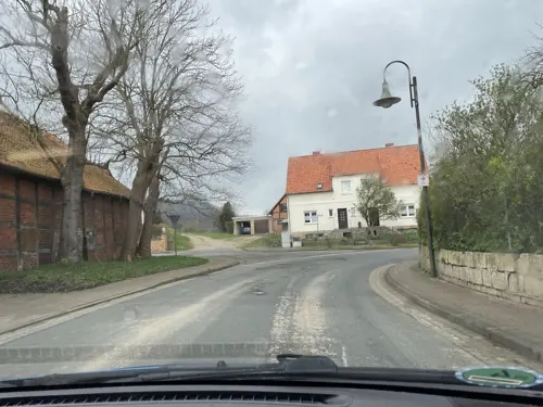
Hofladen
Farm and orchard · 6.5 km
26 Dorfstraße
Tu,Th 15:00-18:00; Sa 10:00-13:00



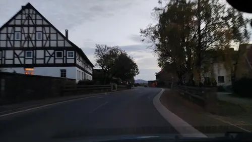

11 more on the map.
Museums and landmarks84

Ockensener Wasserbaum
Monument and historic site · 4.9 km
Zum Wasserbaum, Salzhemmendorf


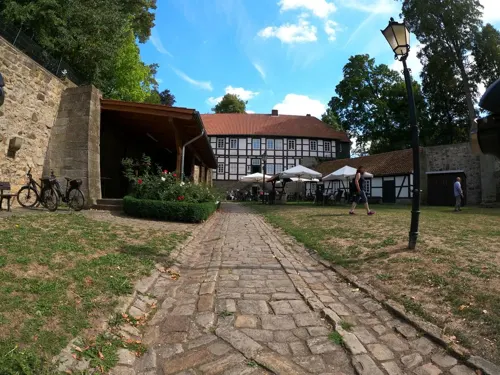

Rittergut Bisperode
Monument and historic site · 6.2 km
1 Försterbrink, Coppenbrügge
Hirschmanns Ruh
Monument and historic site · 7.6 km
Dieser Stein ist gleichzeitung ein dreieckiger Grenzstein.

72 more on the map.
Parks, trails and playgrounds27

Ith Sole Therme
Sports field and stadium · 0.6 km
5 In der Saale-Aue, Salzhemmendorf
08:00-22:00, Mo-Su,PH 09:00-22:00



15 more on the map.
Restaurants and cafes39

Stuckis Sennhütte
Restaurant · Regional · 7.6 km
1, Salzhemmendorf
Tu,Th off; Mo,We,Fr 11:30-17:00; Sa-Su,PH 11:00-19:00
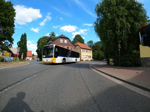
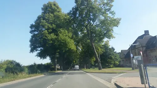
Imbiss am Bahnhof
Restaurant · Pizza, Barbecue, Fries, Gyros · 6.8 km
Pizza u. Gyros, Grill; mit Sitzplätzen und Terrasse
Tu,We,Fr,Sa 11:30-21:00; Su 16:00-21:00
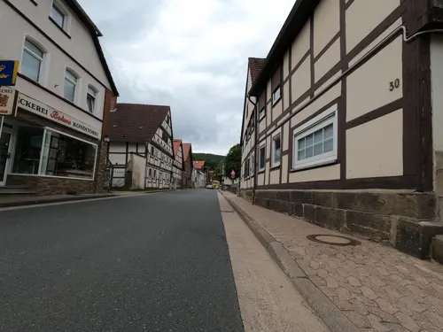
Bäckerei Bohne
Bakery · 2.4 km
21 Im Flecken, Salzhemmendorf
Mo 06:00-12:00; Tu-Fr 06:00-13:00, 15:00-18:00; Sa 06:00-12:00; Su...



27 more on the map.
Where to stay9
Churches and places of worship21
Kapelle Dohnsen (St. Urban)
Church · Evangelical Lutheran · 6.6 km
Dohnsener Straße, Halle (Weserbergland)
St. Nicolaus Kirche (Ev.-luth)
Church · Lutheran · 4.2 km
1 Kirchweg, Salzhemmendorf
Shopping9
Sabine Nebel Kunstgewerbe Toto/Lotto u. Bestellshop
Shop · 7.5 km
12 Friedrich-Rogge-Straße
Gas and EV charging3
Schools, colleges and libraries10
Healthcare5
Map of Salzhemmendorf
230 places. The map loads OpenStreetMap tiles when you open it.
Getting there and nearby towns
Hannover Airport (HAJ) is the nearest airport with scheduled flights listed in OpenStreetMap, 44 km away.
- Hildesheim 27 km east, about 27 min by car
- Hannover 35 km north, about 35 min by car
- Salzgitter 57 km east, about 57 min by car
- Wendeburg 62 km northeast, about 1 h by car
- Göttingen 64 km south, about 1 h by car
- Braunschweig 68 km east, about 1 h 15 min by car
- Paderborn 69 km southwest, about 1 h 15 min by car
- Bielefeld 72 km west, about 1 h 15 min by car
- Fuldatal 76 km south, about 1 h 15 min by car
- Kassel 84 km south, about 1 h 30 min by car
Drive times are estimates from straight-line distance, not routes.
Local news
Headlines from INDB.
Reviews, tips and questions
Loading what members have shared...
Sources and licences
- GeoNames (CC BY 4.0): population, coordinates, regions and time zone
- Mapillary (see each image): photos
- OpenStreetMap contributors (ODbL 1.0): places, airports, map data
- Wikidata (CC0 1.0): elevation, founding date, time zone, website
- Wikimedia Commons (see each image): photos
- Wikipedia (CC BY-SA 4.0): overview and history text
Photo credits
- Blick vom Ith auf den Kahnstein, Ruestz at German Wikipedia, CC BY-SA 3.0
- Kirche Salzhemmendorf, Clemensfranz, CC BY-SA 4.0
- Stolperstein in Salzhemmendorf für Moritz Heilbronn, GNUs Freunde, CC BY-SA 4.0
- Stolperstein in Salzhemmendorf für Gertrud Heilbronn, GNUs Freunde, CC BY-SA 4.0
- Sühnestein Kirche Salzhemmendorf, Clemensfranz, CC BY-SA 4.0
- Stolperstein in Salzhemmendorf für Juliane Guttmann, GNUs Freunde, CC BY-SA 4.0
- Stolperstein in Salzhemmendorf für Robert Davidsohn, GNUs Freunde, CC BY-SA 4.0
- Stolperstein in Salzhemmendorf für Elfriede Davidsohn, GNUs Freunde, CC BY-SA 4.0
- Stolperstein in Salzhemmendorf für Erich Davidsohn, GNUs Freunde, CC BY-SA 4.0
- Salzhemmendorf RBH 1-9463-Pano-edit463, Herbert Weber, Hildesheim, CC BY-SA 4.0
- St. Avold - Der See 1, Ragnar1904, CC BY-SA 3.0
- Burg Coppenbrügge Panorama, Axel Hindemith, CC BY 3.0
- NSG Im Heidsieke, Axel Hindemith, CC BY-SA 4.0
- Lönsturm, rjh, CC BY-SA 2.5
- Wasserbaum-Ockensen, Ukko.de, CC BY-SA 3.0
- Luftbild 1996 Krankenhaus Lindenbrunn, Lindenbrunn, Public domain
- Hüttenstollen Osterwald Mundloch, Axel Hindemith, Public domain
- Ith Steinabhang Nebel cropped, Axel Hindemith, CC BY 3.0
- Ith Turm laubfrei Winter, Axel Hindemith, CC BY 3.0
- Naturschutzgebiet Naturwald Saubrink-Oberberg - Hangwald (2), Ragnar1904, CC BY-SA 4.0
- RastilandPanorama, DerRaser, CC BY-SA 4.0
- HA 140 Südhang Thüster Berg, Glaucram, CC BY-SA 3.0
- Coppenbrügge Kirche Altarraum, Katanga ( Diskussion ) 21:45, 21. Mai 2013 (CEST), CC BY-SA 3.0
- HemmendorfKirche, Torbenbrinker, CC BY-SA 3.0
- Salzhemmendorf Lauenstein Im Flecken, Clemensfranz, CC BY-SA 3.0
- 11 St. Annen-Kapelle, Werner Ochs, CC BY-SA 3.0
- Marienhagen Kirche (NW), Mariekimmerog, CC BY-SA 4.0
- Ith Adam und Eva Klippen, Axel Hindemith, CC BY 3.0
- Loensturm, Máel Milscothach, CC BY-SA 4.0
- Ehemalige Burg Lauenstein (Niedersachsen) 1654 (Ausschnitt), Conrad Buno (Zeichnung/drawing), Caspar Merian (Stich/engraving), Public domain
- Wasserbaum Ockensen laubgrün, Axel Hindemith, CC BY-SA 4.0
- Hauptteingang Krankenhaus Lindenbrunn 2007, Lindenbrunn, Public domain
- NSG HA 097 Naturwald Saubrink und Oberberg - Wald (15), Lotte76, CC BY-SA 4.0
- Ith vom Süntel, Axel Hindemith, CC BY 3.0
- Coppenbrügge Kirche und Pfarrhaus, Katanga ( Diskussion ), CC BY-SA 3.0
- Ith Sole Therme - panoramio, Stephan Czarnowski, CC BY-SA 3.0
- Lauenstein RBH 1-9454-Pano, Herbert Weber, Hildesheim, CC BY-SA 4.0
- Looking S from the B1 near Hemmendorf - geo.hlipp.de - 19958, Gregory Smith on geo.hlipp.de, CC BY-SA 2.0
- 2020-01-05 122138 Salzhemmendorf Thüster Berg Kanstein, Tim Rademacher, CC BY-SA 4.0
- Street-level photo, cageythree, CC BY-SA 4.0
- Street-level photo, Langfahrer, CC BY-SA 4.0
- Street-level photo, elgaard, CC BY-SA 4.0
- Street-level photo, hoschi, CC BY-SA 4.0
- Street-level photo, Langfahrer, CC BY-SA 4.0
- Street-level photo, kyy, CC BY-SA 4.0
- Street-level photo, cageythree, CC BY-SA 4.0
- Street-level photo, thetornado76, CC BY-SA 4.0
- Street-level photo, Langfahrer, CC BY-SA 4.0
- Street-level photo, hotteliene, CC BY-SA 4.0
- Street-level photo, thetornado76, CC BY-SA 4.0
- Street-level photo, Langfahrer, CC BY-SA 4.0
- Street-level photo, Hightower-, CC BY-SA 4.0
- Street-level photo, fischtown, CC BY-SA 4.0
- Street-level photo, hotteliene, CC BY-SA 4.0
- Street-level photo, Langfahrer, CC BY-SA 4.0


Page built November 8, 2026. Spotted a mistake? Tell us or suggest a place.