


Schwaigern, Germany
Schwaigern is a town of 11,047 people in Baden-Wurttemberg, Germany.
Why visit Schwaigern
Townapedia lists 38 museums and landmarks, 22 parks and trails, 100 places to eat, 9 places to stay and 19 attractions in and around town.
Highlights include Leintalzoo, Hofladen Rampmeier, Annakreuz and Karl-Wagenplast-Heimatmuseum.
Weather in Schwaigern
Forecast from MET Norway (CC BY 4.0). Full forecast
About Schwaigern
Schwaigern (German: [ˈʃvaɪɡɐn] ) is a town in the district of Heilbronn, Baden-Württemberg, Germany. It is situated 12 km west of Heilbronn.
From the Wikipedia article Schwaigern (this version), under CC BY-SA 4.0.
Things to do19


Hofladen Rampmeier
Farm and orchard · 4.6 km
1 Vorderes Hessenfeld, Leingarten
24/7

Hofladen Familie Schwarz
Farm and orchard · 3.7 km
16 Gemminger Straße, Massenbachhausen

7 more on the map.
Museums and landmarks38


Karl-Wagenplast-Heimatmuseum
Museum
1 Kelterplatz, Schwaigern
Su 15:00-17:00


Schloss Massenbach
Monument and historic site · 2.4 km
62 Massenbachhausener Straße, Schwaigern

Zehntscheune
Monument and historic site · 6.0 km
5 Schlossplatz, Heilbronn



Der unbefleckten Empfängnis zu Ehren
Monument and historic site · Catholic · 3.5 km
Kirchbrunnen mit Kneipbecken
Monument and historic site · 3.6 km
7 Kirchbrunnengasse, Leingarten
26 more on the map.
Parks, trails and playgrounds22





10 more on the map.
Restaurants and cafes100
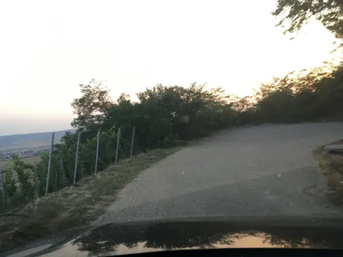
Waldschenke Hörnle
Restaurant · Regional · 5.1 km
1 Hörnle, Brackenheim
We-Sa 11:00-20:00; Su 10:00-20:00

Heuchelberger Warte
Restaurant · Regional · 4.2 km
1
Sa-Su 11:00-22:00, Mo-Fr "nur für Veranstaltungen & Events auf...
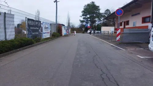
Paradies
Restaurant · Italian · 4.6 km
2 Egarten, Leingarten
Tu-Fr 11:00-14:00,17:00-00:00; Sa 12:00-00:00; Su 11:00-22:00

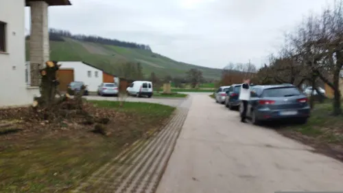
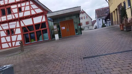
Restaurant Zum Bahnhof
Restaurant · Regional · 5.2 km
57 Bahnhofstraße, Gemmingen
Mo-Su 10:00-14:00,17:00-22:00
Schützenheim - Pizzeria il Padrino
Restaurant · Italian · 4.6 km
29 Heerstraße, Brackenheim
Tu-Sa 17:00-23:00; Su,PH 11:00-22:00



Zinsers Flämmle
Restaurant · German, Regional · 4.5 km
15 Leintalstraße, Brackenheim
Fr-We 17:30-21:00;Sa,Su 11:30-14:00;Th off
88 more on the map.
History
Finds of the Neolithic era and during the Roman period show an early settlement of this area. The town was first mentioned in writing in the Lorsch codex of 766. Bertilo, Lord of Schwaigern, is first mentioned in 1120. The construction of a church is proved in the 13th century. Bertilo's descendants took on the name "Lords of Neipperg" in 1241, after their castle of Neipperg near Brackenheim. In 1407 they also acquired the Lordship of Klingenberg near Heilbronn. In 1702, Schwaigern became the residence of the Lords of Neipperg, who were elevated to the rank of counts in 1726. In 1766, the County of Neipperg became an Imperial State of the Holy Roman Empire, mediatised to the Kingdom of Württemberg in 1806. The last ruling count, Adam Albert von Neipperg, married Napoleon's widow Marie Louise.
The village received the right to hold a market in 1486. After 1630 the Black Death killed a large proportion of the inhabitants. In 1690, during the War of the Grand Alliance, the then Schwaigern Castle was burned down. In 1806, the town came to Württemberg by mediatization and Reichsdeputationshauptschluss. The castle was rebuilt until 1839 and is still today owned by the comital family of Neipperg. Several fires destroyed large areas of the medieval town centre in the 19th and 20th centuries. In 1971/1972 Massenbach, Stetten am Heuchelberg and Niederhofen were incorporated.
From the History section of Schwaigern on Wikipedia, under CC BY-SA 4.0.
Where to stay9
Churches and places of worship23
Dietrich-Bonhoeffer-Kirche
Church · Protestant · 6.0 km
24 Deutschritterstraße, Heilbronn
Kilianskirche
Church · Roman Catholic · 3.5 km
55 Heilbronner Straße, Massenbachhausen
Martin-Luther-Kirche
Church · Protestant · 3.4 km
154 Eppinger Straße, Leingarten
Sankt Jakob von Nisibis
Church · Syriac Orthodox · 5.9 km
149 Schlossstraße, Heilbronn
St. Alban
Church · Roman Catholic · 5.9 km
38 Sankt-Alban-Gassen, Heilbronn
Shopping20
Gas and EV charging12
Schools, colleges and libraries14
Healthcare7
Map of Schwaigern
250 places. The map loads OpenStreetMap tiles when you open it.
Getting there and nearby towns
Manfred Rommel Airport Stuttgart (STR) is the nearest airport with scheduled flights listed in OpenStreetMap, 52 km away.
- Heilbronn 12 km east, about 12 min by car
- Bad Friedrichshall 15 km northeast, about 15 min by car
- Sinsheim 18 km northwest, about 18 min by car
- Weinsberg 17 km east, about 17 min by car
- Vaihingen an der Enz 24 km south, about 24 min by car
- Tamm 25 km south, about 25 min by car
- Steinheim an der Murr 25 km southeast, about 25 min by car
- Wiesloch 31 km northwest, about 31 min by car
- Schwieberdingen 30 km south, about 30 min by car
- Stuttgart 41 km south, about 41 min by car
Drive times are estimates from straight-line distance, not routes.
Local news
Headlines from INDB.
Reviews, tips and questions
Loading what members have shared...
Sources and licences
- GeoNames (CC BY 4.0): population, coordinates, regions and time zone
- Mapillary (see each image): photos
- OpenStreetMap contributors (ODbL 1.0): places, airports, map data
- Wikidata (CC0 1.0): elevation, founding date, time zone, website
- Wikimedia Commons (see each image): photos
- Wikipedia (CC BY-SA 4.0): overview and history text
Photo credits
- Schwaigern, Raphael Lutz, CC BY-SA 3.0
- Schwaigern - Ortskern - Schlosskapelle von SSW in blauer Stunde (RQCD9099), Roman Eisele, CC BY-SA 4.0
- Schwaigern - Ortskern - Schlosskapelle von SW mit Abendsonne, Roman Eisele, CC BY-SA 4.0
- Schwaigern-stadtkirche2009, Peter Schmelzle, CC BY-SA 3.0
- Schwaigern Evangelische Stadtkirche 20070412, Rudolf Stricker, Public domain
- Schwaigern - Ortskern - Johanneskirche - Westfassade - Uhr, Roman Eisele, CC BY-SA 4.0
- Schwaigern - Ortskern - Rentamt - Ansicht von NW in blauer Stunde (RQCD9095), Roman Eisele, CC BY-SA 4.0
- Prospektdetail Schwaigern 2, Michael Seibel, CC BY 4.0
- Schwaigern Rathaus 20070412, Rudolf Stricker, Public domain
- Schwaigern - Altstadt - Rathaus - Hoftor - Detail, Roman Eisele, CC BY-SA 4.0
- Schwaigern - Ortskern - Johanneskirche - Schmerzensmann an der SW-Ecke, Roman Eisele, CC BY-SA 4.0
- Schwaigern Orgel nah, Michael Seibel, CC BY 4.0
- Schwaigern Orgel Prospektdetail, Michael Seibel, CC BY 4.0
- Schwaigern Spieltisch Konzert, Michael Seibel, CC BY 4.0
- Schwaigern Orgel vom Altar, Michael Seibel, CC BY 4.0
- Schwaigern - Ortskern - Johanneskirche - Kruzifix verhüllt, Roman Eisele, CC BY-SA 4.0
- Prospektdetail Schwaigern, Michael Seibel, CC BY 4.0
- Schwaigern Spieltisch, Michael Seibel, CC BY 4.0
- Schwaigern - Ortskern - Hindenburgplatz 11 und Hexenturm - Ansicht von SW (1), Roman Eisele, CC BY-SA 4.0
- Schwaigern(Württ) railway-stations.org, @JoachimWeiss, CC0
- Schwaigern Ost railway station 2024-05-12 05, Entbert, CC BY-SA 4.0
- Schwaigern Ost railway station 2024-05-12 04, Entbert, CC BY-SA 4.0
- Schwaigern Ost railway-stations.org, Pieter, CC0
- Schwaigern Ost railway station 2024-05-12 03, Entbert, CC BY-SA 4.0
- Schwaigern Ost railway station 2025-07-05 03, Entbert, CC BY 4.0
- Schwaigern Ost railway station 2024-05-12 01, Entbert, CC BY-SA 4.0
- Schwaigern Ost railway station 2024-05-12 02, Entbert, CC BY-SA 4.0
- Schwaigern Ost railway station 2025-07-05 02, Entbert, CC BY 4.0
- Schwaigern Ost railway station 2025-07-05 01, Entbert, CC BY 4.0
- Hn-kirchhausen-zehntscheune-2015-1, Peter Schmelzle, CC BY-SA 4.0
- Kirchhausen Annakreuz 20120920 2, User:Rosenzweig, CC BY-SA 3.0
- Katholische Kilianskirche Massenbachhausen Außen II, Raphael Lutz, CC BY-SA 3.0
- Landappbw 647977 1818 Burg Neipperg Neipperg, Martin Hahn, CC0
- Heilbronn - Kirchhausen - Dorfkern - Schloss - Ansicht von Westen (1), Roman Eisele, CC BY-SA 4.0
- Kirchhausen-ev-d-b-kirche, p.schmelzle, CC BY-SA 3.0
- Leingarten-pankratiuskirche, peter schmelzle ( Schmelzle ), CC BY-SA 3.0
- Leingarten-martinlutherkirc, peter schmelzle ( Schmelzle ), CC BY-SA 3.0
- Schwaigern-schloss2009, Peter Schmelzle, CC BY-SA 3.0
- Massenbach-schloss2009, Peter Schmelzle, CC BY-SA 3.0
- Leingarten-lorenz2009, Peter Schmelzle, CC BY-SA 3.0
- Leingarten-evmethkirche, Peter Schmelzle, CC BY-SA 3.0
- Gemmingen-ev-kirche-1516, p.schmelzle, CC BY-SA 2.5
- Georgskirche Massenbach Innen, Raphael Lutz, CC BY-SA 3.0
- Heuchelberger Warte-01, Muck, CC BY-SA 4.0
- Neipperg-kirche2009, Peter Schmelzle, CC BY-SA 3.0
- Kirchhausen-st-alban-1842, p.schmelzle, Public domain
- Schwaigern-TierparkImLeintal060916, Joachim Köhler, CC BY-SA 3.0
- Stetten-kirche-web, p.schmelzle, CC BY-SA 2.5
- Kirchhausen-syr-jakobskirche, p.schmelzle, CC BY-SA 3.0
- Street-level photo, changchun1, CC BY-SA 4.0
- Street-level photo, changchun1, CC BY-SA 4.0
- Street-level photo, changchun1, CC BY-SA 4.0
- Street-level photo, changchun1, CC BY-SA 4.0
- Street-level photo, changchun1, CC BY-SA 4.0
- Street-level photo, changchun1, CC BY-SA 4.0
- Street-level photo, changchun1, CC BY-SA 4.0
- Street-level photo, changchun1, CC BY-SA 4.0
- Street-level photo, changchun1, CC BY-SA 4.0
- Street-level photo, changchun1, CC BY-SA 4.0
- Street-level photo, changchun1, CC BY-SA 4.0
- Street-level photo, changchun1, CC BY-SA 4.0
- Street-level photo, cfbolz, CC BY-SA 4.0
- Street-level photo, soulcover, CC BY-SA 4.0
- Street-level photo, changchun1, CC BY-SA 4.0
- Street-level photo, cfbolz, CC BY-SA 4.0
- Street-level photo, changchun1, CC BY-SA 4.0
- Street-level photo, changchun1, CC BY-SA 4.0
- Street-level photo, changchun1, CC BY-SA 4.0
- Street-level photo, changchun1, CC BY-SA 4.0
- Street-level photo, changchun1, CC BY-SA 4.0
- Street-level photo, changchun1, CC BY-SA 4.0


Page built November 8, 2026. Spotted a mistake? Tell us or suggest a place.