


Why visit Siegen
Townapedia lists 109 museums and landmarks, 24 parks and trails, 219 places to eat, 10 places to stay and 27 attractions in and around town.
Highlights include Apollo Theater, Kulturhaus Lÿz, Siegerlandmuseum and Museum für Gegenwartskunst.
Weather in Siegen
Forecast from MET Norway (CC BY 4.0). Full forecast
About Siegen
Siegen (German pronunciation: [ˈziːɡn̩] ) is a city in Germany, in the south Westphalian part of North Rhine-Westphalia.
From the Wikipedia article Siegen (this version), under CC BY-SA 4.0.
Travel tips from other travellers: Siegen on Wikivoyage (CC BY-SA 4.0).
Things to do27

Apollo Theater
Cinema and theater
Theatre in Siegen, Germany, built 2005-2007 on the site of the former Apollo cinema, with only the older building's facade remaining
1 Morleystraße, Siegen






15 more on the map.
Museums and landmarks109



Oberes Schloss
Monument and historic site
Bischofshaus
3 Oberes Schloß, Siegen

Altes Zollhaus
Monument and historic site · 1.3 km
68 Freudenberger Straße, Siegen
off || "nach Vereinbarung"
Ehrenmal Weidenau
Monument and historic site · 2.8 km
Ehrenmal für die toten Soldaten im Ersten Weltkrieg

Aktives Museum Südwestfalen
Museum
10 Obergraben, Siegen
Tu,Su 15:00-18:00
97 more on the map.
Parks, trails and playgrounds24





12 more on the map.
Restaurants and cafes219
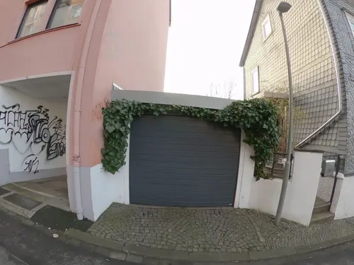
Gusto Puro
Restaurant · Pizza, Pasta
10 Kölner Straße, Siegen
Tu-We 11:30-14:30,17:00-21:30; Fr 17:00-21:30; Sa 17:00-21:30
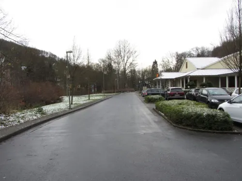
Cafe Del Sol
Cafe · Coffee, Cake, Ice Cream, Fries, Pasta, Sandwich, Burger, Salad, Chicken, Breakfast, Brunch, Diner · 1.3 km
61 Freudenberger Straße, Siegen
Su-Th,PH 09:00-22:00,Fr,Sa 09:00-23:00

Athos
Restaurant · Greek · 1.4 km
52 Eiserfelder Straße, Siegen
We-Fr 17:30-23:00; Su,PH 12:00-14:00,17:30-23:00
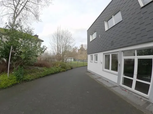
Banchan Korean Food
Restaurant · Korean
28 Burgstraße, Siegen
Tu-Fr 17:00-22:00; Sa 15:00-22:00; Su 14:00-21:00
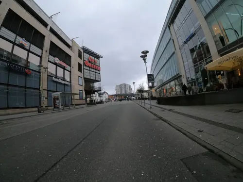
Cafe & Bar Celona
Restaurant · Burger, Coffee Shop, International
25 Am Bahnhof, Siegen
Mo-Th 08:00-00:00; Fr-Sa 08:00-02:00; Su 09:00-00:00



Estia
Restaurant · Greek · 0.6 km
15 Hainer Hütte, Siegen
Mo,We,Th 17:00-21:00; Fr,Sa 17:00-22:00; Su,PH 12:00-14:00,17:00-21:00
Kaffeerösterei pagnia
Cafe · Coffee Shop
35-37 Markt, Siegen
Mo-Fr 12:00-18:00; Su,PH 14:00-18:00; Sa 09:00-18:00
Pane e Vino
Restaurant · Italian
4 Morleystraße, Siegen
Mo 12:00-14:30; Tu-Fr 12:00-14:30,18:00-22:30; Sa 18:00-22:30; PH,Su off

207 more on the map.
History
The name Siegen comes from the possibly Celtic river name Sieg. It is, however, unclear whether there is any relation between this name and the Celtic-Germanic Sicambri (Ger. Sugambrer) people, who in pre-Christian times lived in parts of North Rhine-Westphalia. The first documentary mention of the place called Sigena dates from 1079. The city's history is markedly shaped by mining, which locally began as far back as La Tène times. Bearing witness to this longtime industry are the many mines that can be found within city limits.
In 1224, Siegen is mentioned as a newly built town whose ownership was shared by the Count of Nassau, Heinrich the Rich, and Engelbert II of Berg, Archbishop of Cologne after the latter transferred one half of the ownership to the former. Moreover, there is proof that the Oberes Schloss ("upper stately home") was already standing at this time. On 19 October 1303, the town was granted Soester Stadtrecht, or Soest town rights. The town remained under the two overlords' joint ownership until 1 February 1381, only then passing fully into Nassau hands.
In the 16th century, the town of Siegen bore a formidable defensive look. It was surrounded by mighty walls with 16 towers and three town gates, and was home to a great castle. The town was stricken several times by townwide fires. Documents record such fires in 1592, and from 10 to 20 April 1695.
From the History section of Siegen on Wikipedia, under CC BY-SA 4.0.
Where to stay10
Churches and places of worship32
Katholische Pfarrgemeinde Sankt Marien
Church · Roman Catholic
23 Löhrstraße, Siegen
Shopping66
Gas and EV charging21
Schools, colleges and libraries45
BiGS Bildungsinstitut für Gesundheitsberufe Südwestfalen in Siegen GmbH
School · 1.0 km
9 Saarbrücker Straße, Siegen
Healthcare19
Map of Siegen
250 places. The map loads OpenStreetMap tiles when you open it.
Getting there and nearby towns
Siegerlandflughafen (SGE) is the nearest airport with scheduled flights listed in OpenStreetMap, 19 km away.
- Netphen 7 km northeast, about 7 min by car
- Wilnsdorf 8 km southeast, about 8 min by car
- Mudersbach 8 km southwest, about 8 min by car
- Neunkirchen 8 km south, about 8 min by car
- Kreuztal 11 km north, about 11 min by car
- Remscheid 67 km northwest, about 1 h by car
- Wuppertal 74 km northwest, about 1 h 15 min by car
- Solingen 74 km northwest, about 1 h 15 min by car
- Köln 76 km west, about 1 h 15 min by car
- Wiesbaden 89 km south, about 1 h 30 min by car
Drive times are estimates from straight-line distance, not routes.
Local news
Headlines from INDB.
Reviews, tips and questions
Loading what members have shared...
Sources and licences
- GeoNames (CC BY 4.0): population, coordinates, regions and time zone
- Mapillary (see each image): photos
- OpenStreetMap contributors (ODbL 1.0): places, airports, map data
- Wikidata (CC0 1.0): elevation, founding date, time zone, website, landmarks and historic places
- Wikimedia Commons (see each image): photos
- Wikipedia (CC BY-SA 4.0): overview and history text
Photo credits
- Siegen - panoramio (9), ngocchat1014, CC BY 3.0
- Siegen, Germany - panoramio (683), ngocchat1014, CC BY 3.0
- Siegen Kornmarkt, Bob Ionescu, Attribution
- Stolperstein Siegen Marx Rosa geb Rosenheim, Stolpersteineuploader, CC BY-SA 3.0
- Siegen Turm der Nikolaikirche, Bob Ionescu, Attribution
- Siegen Rathaus 18Uhr-20.3.2011 - panoramio, ngocchat1014, CC BY 3.0
- Nikolaikirche Turm Siegen, Bob Ionescu, Attribution
- Rathaus der Stadt Siegen, Martin Helmer, CC BY-SA 4.0
- Rathaus der Stadt Siegen, Markt 2, Martin Helmer, CC BY-SA 4.0
- Rathaus der Stadt Siegen, Südansicht, Martin Helmer, CC BY-SA 4.0
- Siegen KroenchenCenter, Bob Ionescu, Attribution
- Siegen, Germany - panoramio (538), ngocchat1014, CC BY 3.0
- Siegen, Germany - panoramio (582), ngocchat1014, CC BY 3.0
- Blick auf das Kriegerdenkmal 1864, 1866, 1870-71 in Siegen vom Bildhauer Friedrich Reusch aus Königsberg - panoramio, qwesy qwesy, CC BY 3.0
- Siegen, Germany - panoramio (691), ngocchat1014, CC BY 3.0
- Asian Markt und Restaurant in Siegen - 5.3.2011 - panoramio, ngocchat1014, CC BY 3.0
- Stolperstein Siegen Hochmann Mathilde geb Spiegel, Stolpersteineuploader, CC BY-SA 3.0
- Stolperstein Siegen Hochmann Siegmund, Stolpersteineuploader, CC BY-SA 3.0
- Stolperstein Siegen Hausmann Saul, Stolpersteineuploader, CC BY-SA 3.0
- Stolperstein Siegen Hausmann Fanny geb Spiegel, Stolpersteineuploader, CC BY-SA 3.0
- Siegen, Germany - panoramio (26), ngocchat1014, CC BY 3.0
- Siegen altes Telegrafenamt, Bob Ionescu, Attribution
- Siegen Rathaus Markt, Bob Ionescu, Attribution
- Nikolaikirche Siegen Markusloewe Alpha Omega, Matthias Nonnenmacher, CC BY-SA 4.0
- Siegen, Germany - panoramio (24), ngocchat1014, CC BY 3.0
- Siegen, Germany - panoramio (27), ngocchat1014, CC BY 3.0
- Siegen, Germany - panoramio (23), ngocchat1014, CC BY 3.0
- Siegen, Germany - panoramio (25), ngocchat1014, CC BY 3.0
- Fussgaengerzone Alte Poststr Siegen, Bob Ionescu, Attribution
- Nikolaikirche Siegen Innenansicht von Eingang, Matthias Nonnenmacher, CC BY-SA 4.0
- Siegener Kroenchen Original, Matthias Nonnenmacher, CC BY-SA 4.0
- Nikolaikirche siegen, Bob Ionescu, Attribution
- Stolperstein Siegen Kessler Louis, Stolpersteineuploader, CC BY-SA 3.0
- Stolperstein Siegen Kessler Martha geb Kessler, Stolpersteineuploader, CC BY-SA 3.0
- Stolperstein Siegen Kessler Fritz, Stolpersteineuploader, CC BY-SA 3.0
- Stolperstein Siegen Kessler Karl, Stolpersteineuploader, CC BY-SA 3.0
- Siegen, View from castle towards Giersberg - panoramio, peterdahlmann, CC BY 3.0
- Apollo-Theater Siegen dima, dima, Public domain
- Autobahnkirche Siegerland 06, Jan-Herm Janßen, CC BY-SA 3.0
- Evangelische Kirche Wilnsdorf Oktober 2010, Dbawwsnrw, CC BY 3.0
- St. Martin Kirche Netphen, ThomasGerd, CC BY 3.0
- Siegen Haardter Berg, PresseUniSiegen, CC BY-SA 4.0
- Siegen Leimbachstadion, Bob Ionescu, Attribution
- Siegen City-Galerie, Bob Ionescu, Attribution
- Siegen Martinikirche, Bob Ionescu, Attribution
- Marienkirche siegen, Bob Ionescu, Attribution
- Gymnasium am Löhrtor, Siegtaler2, CC0
- Siegen-StMarienKrankenhaus1-Bubo, Bubo, CC BY-SA 3.0
- Haardterkirche-portal, Losdedos, CC BY-SA 3.0 de
- SI Giersbergstrasse 2009, Frank Behnsen, CC BY-SA 3.0
- Siegen Pfarrkirche St. Peter und Paul Hauptportal 2, Bob Ionescu, Attribution
- Siegen Haeusling, Bob Ionescu, Attribution
- Siegen Nikolaikirche Kirchenschiff, Bob Ionescu, Attribution
- Alche unter Huettentalstrasze PC060185, Stefan Knauf, Public domain
- Lindenberg siegen, Bob Ionescu, Attribution
- Siegen mus-f-gegenw-kunst 050614, Hpschaefer www.reserv-art.de, CC BY-SA 3.0
- SI Oberes Schloss Giersberg, Frank Behnsen, CC BY-SA 3.0
- Siegen Synagoge-Gedenkfoto, Frank Behnsen, CC BY 3.0
- Siegen Zeughaus Fassade, Frank Behnsen, CC BY 3.0
- Siegen Schlosspark Blumenwiese, Bob Ionescu, Attribution
- Street-level photo, GITNE, CC BY-SA 4.0
- Street-level photo, changchun1, CC BY-SA 4.0
- Street-level photo, GITNE, CC BY-SA 4.0
- Street-level photo, GITNE, CC BY-SA 4.0
- Street-level photo, GITNE, CC BY-SA 4.0
- Street-level photo, uwekoch, CC BY-SA 4.0
- Street-level photo, uwekoch, CC BY-SA 4.0
- Street-level photo, GITNE, CC BY-SA 4.0
- Street-level photo, uwekoch, CC BY-SA 4.0
- Street-level photo, baldur80, CC BY-SA 4.0
- Street-level photo, VIA_KK, CC BY-SA 4.0
- Street-level photo, troher15, CC BY-SA 4.0
- Street-level photo, uwekoch, CC BY-SA 4.0
- Street-level photo, robffm, CC BY-SA 4.0
- Street-level photo, uwekoch, CC BY-SA 4.0
- Street-level photo, uwekoch, CC BY-SA 4.0
- Street-level photo, alucardo, CC BY-SA 4.0
- Street-level photo, GITNE, CC BY-SA 4.0
- Street-level photo, GITNE, CC BY-SA 4.0
- Street-level photo, changchun1, CC BY-SA 4.0
- Street-level photo, changchun1, CC BY-SA 4.0
- Street-level photo, GITNE, CC BY-SA 4.0
- Street-level photo, GITNE, CC BY-SA 4.0


Page built November 8, 2026. Spotted a mistake? Tell us or suggest a place.