


Sölderholz, Germany
Sölderholz is a town of 5,925 people in North Rhine-Westphalia, Germany.
Why visit Sölderholz
Townapedia lists 24 museums and landmarks, 4 parks and trails, 30 places to eat, 1 place to stay and 2 attractions in and around town.
Highlights include Emscherquellhof, Haus Sölde, Aplerbecker Wald and Sölder Bruch.
Weather in Sölderholz
Forecast from MET Norway (CC BY 4.0). Full forecast
Things to do2


Museums and landmarks24


Haus Sölde
Monument and historic site · 2.2 km
31 Ruthgerusstraße, Dortmund
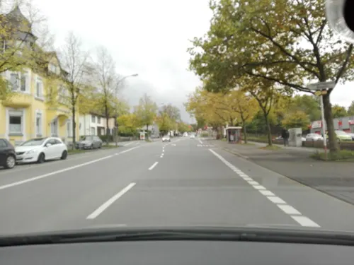


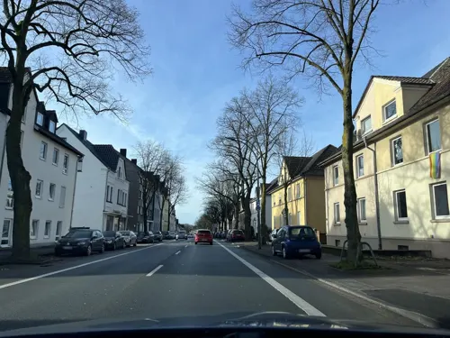
Denkmal des Verbandes für Freidenkertum / oder Feuerbestatter
Monument and historic site · 2.6 km
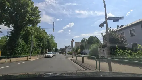

Gedenkstein für die Gefallenen des Zweiten Weltkrieges
Monument and historic site · 1.7 km
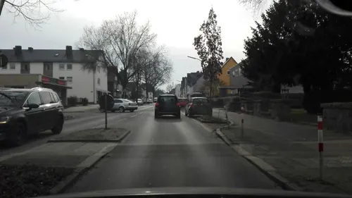
Kriegerdenkmal in Sölde, Gefallene 1914-1918
Monument and historic site · 1.7 km
Kriegerehrenmal in Aplerbeck, Gefallene 1866, 1870-1871, 1914-1918 und 1939-1945
Monument and historic site · 2.5 km
12 more on the map.
Parks, trails and playgrounds4




Restaurants and cafes30

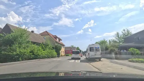
Eislädchen & Manufaktur
Ice cream · Ice Cream · 2.3 km
291 Schwerter Straße, Dortmund
"Sommer täglich von 11:00-21:00 Uhr Bei Sonne bis diese untergeht...
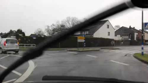
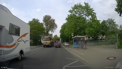
Pizzeria La Stella
Restaurant · Pizza, Indian, Schnitzel · 1.9 km
70 Sölder Straße, Dortmund
Mo-Th 11:30-14:30,17:00-22:30; Fr 11:30-14:30,17:00-23:00; Sa...
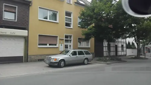
Zur fröhlichen Morgensonne
Restaurant · German · 2.1 km
29 Abteistraße, Dortmund
Su 10:00+ open; Mo,Fr,Sa 11:00+ open; Tu 15:00+ open; We closed;...

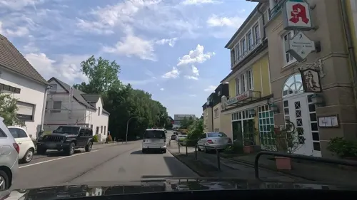
Niehaves Brotzeit
Bakery · 0.6 km
36 Eichholzstraße, Dortmund
Mo-Fr 06:00-18:00; Sa 06:00-14:00; Su 07:00-15:00
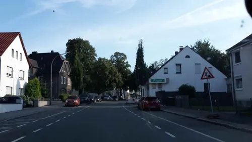

St. Georgs Klause
Bar and pub · 2.6 km
35 Ruinenstraße, Dortmund
Tu-Th 14:00-23:00; Fr 14:00-24:00+; Sa 12:00-24:00+
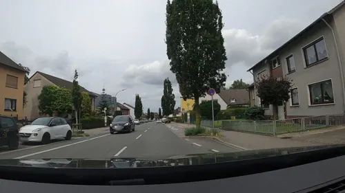
Lokrum in der Bergeshöhe
Restaurant · 0.6 km
152 Lichtendorfer Straße, Dortmund
Mo off; Tu-Sa 16:00-23:00; Su 11:00-22:15
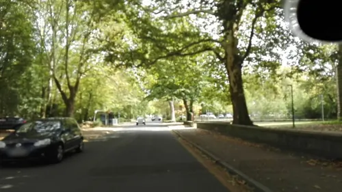


Dony's Sushi Bar
Restaurant · Sushi · 2.5 km
Tu-Fr 17:00-21:30; Sa,Su,PH 14:00-21:30; Mo off
18 more on the map.
Where to stay1
Churches and places of worship10
Neuapostolische Kirche
Church · New Apostolic · 0.6 km
13 Eichholzstraße, Dortmund
Shopping7
Gas and EV charging8
Schools, colleges and libraries12
Emscherschule Aplerbeck (Hauptschule)
School · 2.6 km
25 Schweizer Allee, Dortmund
Healthcare2
Map of Sölderholz
100 places. The map loads OpenStreetMap tiles when you open it.
Getting there and nearby towns
Dortmund Airport (DTM) is the nearest airport with scheduled flights listed in OpenStreetMap, 4 km away.
- Sölde 2 km north, about 2 min by car
- Holzwickede 3 km northeast, about 3 min by car
- Schwerte 5 km southwest, about 5 min by car
- Brackel 6 km northwest, about 6 min by car
- Wickede 6 km north, about 6 min by car
- Wellinghofen 7 km west, about 7 min by car
- Wichlinghofen 8 km southwest, about 8 min by car
- Dortmund 10 km west, about 10 min by car
- Unna 9 km northeast, about 9 min by car
- Syburg 10 km southwest, about 10 min by car
Drive times are estimates from straight-line distance, not routes.
Local news
Headlines from INDB.
Reviews, tips and questions
Loading what members have shared...
Sources and licences
- GeoNames (CC BY 4.0): population, coordinates, regions and time zone
- Mapillary (see each image): photos
- OpenStreetMap contributors (ODbL 1.0): places, airports, map data
- Wikidata (CC0 1.0): elevation, founding date, time zone, website, landmarks and historic places
- Wikimedia Commons (see each image): photos
Photo credits
- Ostberger Straße, 1, Sölderholz, Aplerbeck, Dortmund, GeorgDerReisende, CC BY-SA 4.0
- Aplerbeck Kirche St Georg, Itti, CC BY-SA 3.0
- Emscherquellhof 2006, Jens Seiler at de.wikipedia, CC BY-SA 2.0 de
- GadSA, Christian Lindecke, CC BY-SA 3.0
- Suedportal Haus Dudenroth, Andreas Heidemann ( AHE ( talk )), CC BY-SA 3.0
- NSG Aplerbecker Wald3, Itti, CC BY-SA 3.0 de
- Dortmund Haus Sölde 4, User:Stahlkocher, CC BY-SA 3.0
- Emscherquelle, K.Schaefer -, CC BY-SA 2.0 de
- Gebäude GADSA, Gymnasium an der Schweizer Allee, CC BY-SA 4.0
- NSG Aplerbecker Wald1, Itti, CC BY-SA 3.0 de
- NSG DO-031, Aplerbecker Wald, 6, Aplerbeck, Dortmund, GeorgDerReisende, CC BY-SA 4.0
- NSG DO-031, Aplerbecker Wald, 8, Aplerbeck, Dortmund, GeorgDerReisende, CC BY-SA 4.0
- NSG DO-031, Aplerbecker Wald, 7, Aplerbeck, Dortmund, GeorgDerReisende, CC BY-SA 4.0
- Aplerbecker Waldstraße, 1, Aplerbeck, Dortmund, GeorgDerReisende, CC BY-SA 4.0
- NSG DO-031, Aplerbecker Wald, 4, Aplerbeck, Dortmund, GeorgDerReisende, CC BY-SA 4.0
- Aplerbeck Ortseingang, April 2000 - panoramio - Helfmann (13), Helfmann, CC BY-SA 3.0
- Hüsingheide, 1, Aplerbeck, Dortmund, GeorgDerReisende, CC BY-SA 4.0
- Winkelabspannmast 110 kV Bahnstrom Holzwickede DE 2013, Dr. Frank, CC BY-SA 2.0
- NSG DO-031, Aplerbecker Wald, 5, Aplerbeck, Dortmund, GeorgDerReisende, CC BY-SA 4.0
- Ostberger Straße, 1, Aplerbeck, Dortmund, GeorgDerReisende, CC BY-SA 4.0
- Schwerter Heide, 3, Schwerte, Landkreis Unna, GeorgDerReisende, CC BY-SA 4.0
- Aplerbeck Ortseingang, April 2000 - panoramio - Helfmann (7), Helfmann, CC BY-SA 3.0
- 130er-Denkmal am Kellerkopf - Soldatenfigur, A.Heidemann, CC BY-SA 3.0
- 130er-Denkmal am Kellerkopf - Panorama der hinteren Wand, A.Heidemann, CC BY-SA 3.0
- Radrevier.ruhr Knotenpunkt 42 Emscherpark Holzwickede Karte, MKucharzewski, CC BY-SA 4.0
- Street-level photo, geogladbecker, CC BY-SA 4.0
- Street-level photo, uwekoch, CC BY-SA 4.0
- Street-level photo, flugyflay, CC BY-SA 4.0
- Street-level photo, flugyflay, CC BY-SA 4.0
- Street-level photo, uwekoch, CC BY-SA 4.0
- Street-level photo, uwekoch, CC BY-SA 4.0
- Street-level photo, uwekoch, CC BY-SA 4.0
- Street-level photo, flugyflay, CC BY-SA 4.0
- Street-level photo, uwekoch, CC BY-SA 4.0
- Street-level photo, uwekoch, CC BY-SA 4.0
- Street-level photo, flugyflay, CC BY-SA 4.0
- Street-level photo, flugyflay, CC BY-SA 4.0
- Street-level photo, flugyflay, CC BY-SA 4.0
- Street-level photo, flugyflay, CC BY-SA 4.0
- Street-level photo, uwekoch, CC BY-SA 4.0
- Street-level photo, flugyflay, CC BY-SA 4.0
- Street-level photo, flugyflay, CC BY-SA 4.0
- Street-level photo, geogladbecker, CC BY-SA 4.0
- Street-level photo, flugyflay, CC BY-SA 4.0
- Street-level photo, flugyflay, CC BY-SA 4.0
- Street-level photo, flugyflay, CC BY-SA 4.0
- Street-level photo, uwekoch, CC BY-SA 4.0
- Street-level photo, flugyflay, CC BY-SA 4.0
- Street-level photo, uwekoch, CC BY-SA 4.0
- Street-level photo, flugyflay, CC BY-SA 4.0
- Street-level photo, ptks, CC BY-SA 4.0


Page built November 9, 2026. Spotted a mistake? Tell us or suggest a place.