


Why visit Sontra
Townapedia lists 40 museums and landmarks, 30 parks and trails, 25 places to eat, 10 places to stay and 63 attractions in and around town.
Highlights include Hohe Buche, Hohe Süß, Boyneburg and Junkerhof.
Weather in Sontra
Forecast from MET Norway (CC BY 4.0). Full forecast
About Sontra
Sontra (German pronunciation: [ˈzɔntʁa] ) is a small town in the Werra-Meißner-Kreis in northeastern Hesse, Germany.
From the Wikipedia article Sontra (this version), under CC BY-SA 4.0.
Things to do63


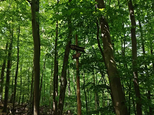
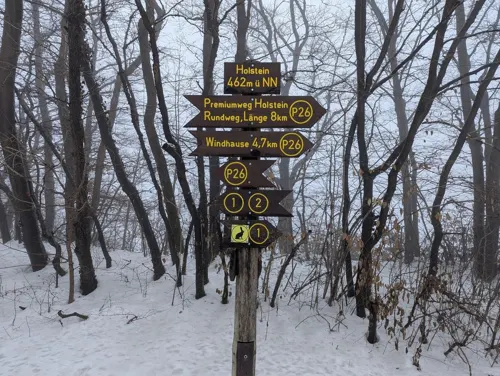
Pionierturm
Scenic view · 7.6 km
Stahlgittermast, besteigbar, Stand 2020-04: mit Turm-Gästebuch!
51 more on the map.
Museums and landmarks40







28 more on the map.
Parks, trails and playgrounds30




18 more on the map.
Restaurants and cafes25
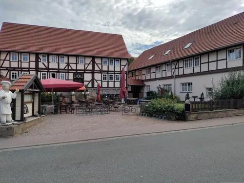

Landbäckerei Bechthold-Stange
Bakery · 6.0 km
2 Am Markt, Cornberg
Mo,Sa 07:00-13:00; Tu-Fr 07:00-13:00,14:30-18:00; Su 08:00-10:30
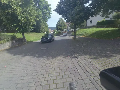
Guter Gerlach
Bakery · 6.6 km
22a Kasseler Straße, Nentershausen
Mo-Fr 06:00-17:00; Sa 06:30-12:00; Su 07:00-11:30

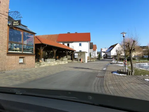
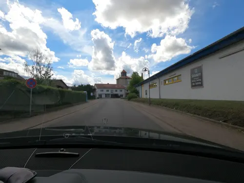
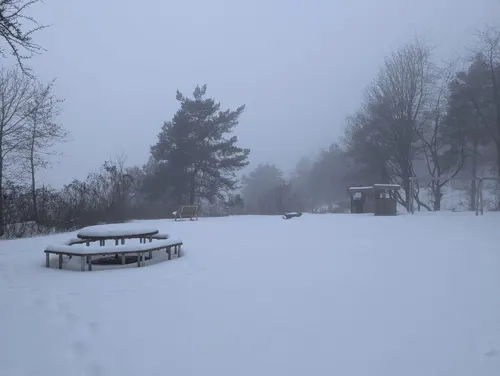


Sommergarten
Cafe · 6.7 km
Bier- und Kaffeegarten
8 Fuhrgraben, Wehretal
13 more on the map.
History
In 775, Sontra’s outlying centre of Ulfen had its first documentary mention. In the 8th century, Sontra itself was also mentioned for the first time. In 1232, a Kunigunde de Suntraha was named, who on a visit to Saint Elizabeth’s grave in Marburg experienced healing. Town rights were granted Sontra in 1368.
There was bituminous shale mining in Sontra beginning no later than 1499, and it continued right through to the 1950s.
In the centre of Donnershag, which is part of Sontra, the settlement society known as Freiland-Freigeld was resident in the 1920s.
From the History section of Sontra on Wikipedia, under CC BY-SA 4.0.
Where to stay10
Churches and places of worship23
Kirche Rechtebach
Church · Protestant · 6.6 km
8 Haselweg, Waldkappel
Evangelische Kirche Mönchhoßbach
Church · Protestant · 4.5 km
2 Am Kirchweg, Nentershausen
Shopping6
Gas and EV charging8
Schools, colleges and libraries4
Healthcare1
Map of Sontra
210 places. The map loads OpenStreetMap tiles when you open it.
Getting there and nearby towns
Flugplatz Eisenach-Kindel (EIB) is the nearest airport with scheduled flights listed in OpenStreetMap, 39 km away.
- Waldkappel 9 km northwest, about 9 min by car
- Bebra 15 km southwest, about 15 min by car
- Eschwege 15 km northeast, about 15 min by car
- Rotenburg an der Fulda 17 km southwest, about 17 min by car
- Spangenberg 20 km west, about 20 min by car
- Hessisch Lichtenau 21 km northwest, about 21 min by car
- Bad Hersfeld 27 km southwest, about 27 min by car
- Melsungen 28 km west, about 28 min by car
- Eisenach 28 km east, about 28 min by car
- Witzenhausen 30 km north, about 30 min by car
Drive times are estimates from straight-line distance, not routes.
Local news
Headlines from INDB.
Reviews, tips and questions
Loading what members have shared...
Sources and licences
- GeoNames (CC BY 4.0): population, coordinates, regions and time zone
- Mapillary (see each image): photos
- OpenStreetMap contributors (ODbL 1.0): places, airports, map data
- Wikidata (CC0 1.0): elevation, founding date, time zone, website
- Wikimedia Commons (see each image): photos
- Wikipedia (CC BY-SA 4.0): overview and history text
Photo credits
- Sontra panoram altstadt, 2micha, CC BY-SA 3.0
- Hinter der Wachtmauer 1, 1, Sontra, Werra-Meißner-Kreis, GeorgDerReisende, CC BY-SA 4.0
- Niederstadt 43, 1, Sontra, Werra-Meißner-Kreis, GeorgDerReisende, CC BY-SA 4.0
- Göttinger Straße 1, 2, Sontra, Werra-Meißner-Kreis, GeorgDerReisende, CC BY-SA 4.0
- Mühlgraben, 18, Sontra, Werra-Meißner-Kreis, GeorgDerReisende, CC BY-SA 4.0
- Mühlgraben, 19, Sontra, Werra-Meißner-Kreis, GeorgDerReisende, CC BY-SA 4.0
- Göttinger Straße 1, 3, Sontra, Werra-Meißner-Kreis, GeorgDerReisende, CC BY-SA 4.0
- Göttinger Straße 1, 4, Sontra, Werra-Meißner-Kreis, GeorgDerReisende, CC BY-SA 4.0
- Niederstadt 43, 2, Sontra, Werra-Meißner-Kreis, GeorgDerReisende, CC BY-SA 4.0
- Niederstadt 41, 1, Sontra, Werra-Meißner-Kreis, GeorgDerReisende, CC BY-SA 4.0
- Hinter der Wachtmauer 1, 4, Sontra, Werra-Meißner-Kreis, GeorgDerReisende, CC BY-SA 4.0
- Hinter der Wachtmauer 1, 2, Sontra, Werra-Meißner-Kreis, GeorgDerReisende, CC BY-SA 4.0
- Niederstadt 35, 3, Sontra, Werra-Meißner-Kreis, GeorgDerReisende, CC BY-SA 4.0
- Gibsbach, 9, Sontra, Werra-Meißner-Kreis, GeorgDerReisende, CC BY-SA 4.0
- Göttinger Straße 4, 1, Sontra, Werra-Meißner-Kreis, GeorgDerReisende, CC BY-SA 4.0
- Göttinger Straße 1, 1, Sontra, Werra-Meißner-Kreis, GeorgDerReisende, CC BY-SA 4.0
- Niederstadt 34, 1, Sontra, Werra-Meißner-Kreis, GeorgDerReisende, CC BY-SA 4.0
- Göttinger Straße 6, 2, Sontra, Werra-Meißner-Kreis, GeorgDerReisende, CC BY-SA 4.0
- Göttinger Straße 4, 2, Sontra, Werra-Meißner-Kreis, GeorgDerReisende, CC BY-SA 4.0
- Gibsbach, 8, Sontra, Werra-Meißner-Kreis, GeorgDerReisende, CC BY-SA 4.0
- Niederstadt 31, 3, Sontra, Werra-Meißner-Kreis, GeorgDerReisende, CC BY-SA 4.0
- Niederstadt 31, 4, Sontra, Werra-Meißner-Kreis, GeorgDerReisende, CC BY-SA 4.0
- Niederstadt 35, 4, Sontra, Werra-Meißner-Kreis, GeorgDerReisende, CC BY-SA 4.0
- Göttinger Straße 3, 1, Sontra, Werra-Meißner-Kreis, GeorgDerReisende, CC BY-SA 4.0
- Niederstadt 41, 2, Sontra, Werra-Meißner-Kreis, GeorgDerReisende, CC BY-SA 4.0
- Göttinger Straße 8, 1, Sontra, Werra-Meißner-Kreis, GeorgDerReisende, CC BY-SA 4.0
- Niederstadt 34, 3, Sontra, Werra-Meißner-Kreis, GeorgDerReisende, CC BY-SA 4.0
- Niederstadt 24, 1, Sontra, Werra-Meißner-Kreis, GeorgDerReisende, CC BY-SA 4.0
- Niederstadt 31, 5, Sontra, Werra-Meißner-Kreis, GeorgDerReisende, CC BY-SA 4.0
- Hinter der Wachtmauer 1, 3, Sontra, Werra-Meißner-Kreis, GeorgDerReisende, CC BY-SA 4.0
- Niederstadt 31, 8, Sontra, Werra-Meißner-Kreis, GeorgDerReisende, CC BY-SA 4.0
- Niederstadt 30 (a), 1, Sontra, Werra-Meißner-Kreis, GeorgDerReisende, CC BY-SA 4.0
- Niederstadt 32, 1, Sontra, Werra-Meißner-Kreis, GeorgDerReisende, CC BY-SA 4.0
- Sontra Niederstadt, Feuermond16, CC BY-SA 4.0
- Niederstadt 27, 3, Sontra, Werra-Meißner-Kreis, GeorgDerReisende, CC BY-SA 4.0
- Göttinger Straße 5, 1, Sontra, Werra-Meißner-Kreis, GeorgDerReisende, CC BY-SA 4.0
- Niederstadt 30, 1, Sontra, Werra-Meißner-Kreis, GeorgDerReisende, CC BY-SA 4.0
- Niederstadt 34, 2, Sontra, Werra-Meißner-Kreis, GeorgDerReisende, CC BY-SA 4.0
- Niederstadt 28, 1, Sontra, Werra-Meißner-Kreis, GeorgDerReisende, CC BY-SA 4.0
- Niederstadt 29, 3, Sontra, Werra-Meißner-Kreis, GeorgDerReisende, CC BY-SA 4.0
- Sontra-Wichmannshausen im nordhessischen Werra-Meißner-Kreis. 04, Heinz K. S., CC BY-SA 4.0
- Boyneburg (2), Kristin Weber, CC BY-SA 2.5
- Burg Tannenberg (3), Feuermond16, CC BY-SA 4.0
- Naturschutzgebiet Boyneburg und Schickeberg bei Breitau, WDPA 81445. (2), Heinz K. S., CC BY-SA 4.0
- Naturschutzgebiet „Sorgwiesen bei Weißenhasel“ (3), Heinz K. S., CC BY-SA 4.0
- Naturschutzgebiet „Wacholderberg und Schmiedsberg bei Dens“ (1), Heinz K. S., CC BY-SA 4.0
- Sontra-Wichmannshausen im nordhessischen Werra-Meißner-Kreis. 02, Heinz K. S., CC BY-SA 4.0
- Evangelische Kirche Mönchhosbach im Landkreis Hersfeld-Rotenburg (1), Heinz K. S., CC BY-SA 4.0
- Reste der Grundmauern der Wüstungskirche beim Hof Harmuthshausen (1), Heinz K. S., CC BY-SA 4.0
- Sontra-Weißenborn im nordhessischen Werra-Meißner-Kreis. 01, Heinz K. S., CC BY-SA 4.0
- Junkerhof in Bischhausen (2), Heinz K. S., CC BY-SA 4.0
- Pionierturm Mäuseberg 2020-04-16 a, Baummapper, CC BY-SA 3.0 de
- Ziegenküppel - Knots Keller 2020-04-17, Baummapper, CC BY-SA 3.0 de
- Kloster Cornberg Eingang, ~~presse03, CC BY-SA 3.0
- Friemen - Kirche 2020-04-17 a, Baummapper, CC BY-SA 3.0 de
- Evangelische Kirche Wölfterode, Heinz K. S., CC BY-SA 4.0
- Rechtebach - Kirche 2020-04-16 d, Baummapper, CC BY-SA 3.0 de
- Landstraße 16, 1, Bischhausen, Waldkappel, Werra-Meißner-Kreis, GeorgDerReisende, CC BY-SA 4.0
- Street-level photo, VIA_AE, CC BY-SA 4.0
- Street-level photo, bskater, CC BY-SA 4.0
- Street-level photo, VIA_AE, CC BY-SA 4.0
- Street-level photo, nakaner, CC BY-SA 4.0
- Street-level photo, VIA_AE, CC BY-SA 4.0
- Street-level photo, VIA_AE, CC BY-SA 4.0
- Street-level photo, nakaner, CC BY-SA 4.0
- Street-level photo, zoegglmeyr, CC BY-SA 4.0
- Street-level photo, saschahaberkorn, CC BY-SA 4.0
- Street-level photo, VIA_AE, CC BY-SA 4.0
- Street-level photo, ManuelH, CC BY-SA 4.0
- Street-level photo, ManuelH, CC BY-SA 4.0
- Street-level photo, ber319, CC BY-SA 4.0
- Street-level photo, nakaner, CC BY-SA 4.0
- Street-level photo, ber319, CC BY-SA 4.0
- Street-level photo, ber319, CC BY-SA 4.0


Page built November 9, 2026. Spotted a mistake? Tell us or suggest a place.