


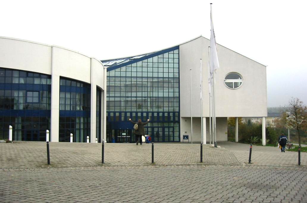

Stockum, Germany
Stockum is a town of 5,430 people in North Rhine-Westphalia, Germany, founded in 882.
Why visit Stockum
Townapedia lists 20 museums and landmarks, 10 parks and trails, 36 places to eat, 3 places to stay and 2 attractions in and around town.
Highlights include Heimelsberg, Maschinenhaus der Zeche Wallfisch, Restfläche KZ-Außenlager and Gärten für die Gemeinschaft.
Weather in Stockum
Forecast from MET Norway (CC BY 4.0). Full forecast
About Stockum
Witten-Stockum is a borough of the City of Witten in North Rhine-Westphalia, Germany. It has about 6300 inhabitants (2003).
From the Wikipedia article Witten-Stockum (this version), under CC BY-SA 4.0.
Things to do2

Museums and landmarks20

Maschinenhaus der Zeche Wallfisch
Monument and historic site · 1.6 km
19 Steinäckerweg, Witten


ehemalige Glühofenhalle
Monument and historic site · 2.3 km
20 Stockumer Straße, Witten





8 more on the map.
Parks, trails and playgrounds10

Gärten für die Gemeinschaft
Park · 1.9 km
Untere Gärten: Extensive Beweidung mit Schafen, rotierende Heumahd,: artenreiche Wiesen und Weiden - mit Schattenbäumen,...
Im Wullen, Witten
24/7


Spielplatz Stockumer Straße
Playground · 2.2 km
dawn-20:00 open "bis 20 Uhr"; dusk-dawn off "Höchstens bis...


Restaurants and cafes36

Haus Crämer
Restaurant · Regional
36 Mittelstraße, Witten
Tu-Sa 17:30-22:00; Su 12:00-14:00,17:30-22:00
Pizza Factory Da Giuseppe
Restaurant · Pizza · 2.2 km
Https://archive.is/z5BvU
Mo-Su 15:30-02:45; PH 15:30-02:45
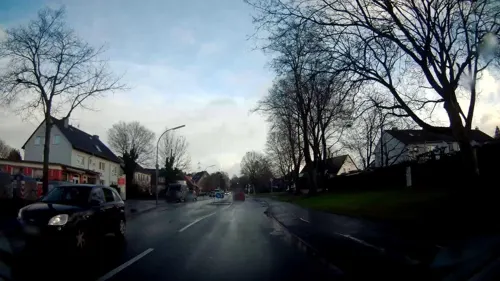
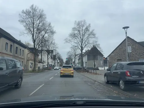
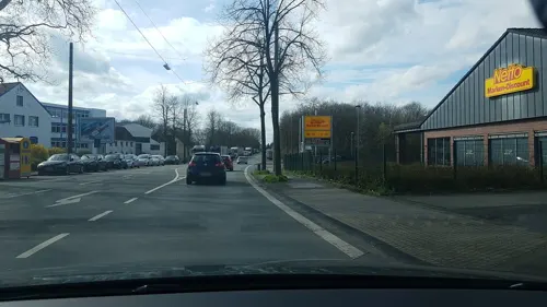
Ort der Begegnung
Cafe · 2.3 km
Der »OdB« ist ein Ort der Begegnung und Zusammenkunft verschiedener Kulturen.
Su 14:30-18:00

Arte Gelato
Cafe · Ice Cream
324 Hörder Straße, Witten
Mo-Su 09:00-19:00



Haus Lenk
Restaurant · Steak House · 2.3 km
Mo-Tu,Th-Fr 17:00-22:30; Sa-Su 11:30-13:00,17:00-22:30
Oespeler Deele da Gian
Restaurant · Italian · 2.4 km
Mo,We-Sa 14:00-22:00; Su 12:00-15:00,17:00-22:00; Tu off
24 more on the map.
History
Stockum was first mentioned in 882 as villa stochem. Villa stochem was a little castle that was owned by a knight who called himself "op der Heyde". During the so-called Dortmunder Fehde in 1388/89, Stochem was burned down by soldiers from the Archbishop of Cologne, who fought a war against Dortmund, just a few kilometres north of the village. In 1423/24 it was burned down for the second time - this time by troops of the Margrave of the County Mark who fought a war against his own brother.
In 1701 Stockum became a part of Prussia. In 1752 the first coal mine was built and the era of mining began. This era ended in 1904.
From the History section of Witten-Stockum on Wikipedia, under CC BY-SA 4.0.
Where to stay3
Churches and places of worship12
Shopping9
Gas and EV charging4
Schools, colleges and libraries16
Healthcare5
Map of Stockum
117 places. The map loads OpenStreetMap tiles when you open it.
Getting there and nearby towns
Dortmund Airport (DTM) is the nearest airport with scheduled flights listed in OpenStreetMap, 18 km away.
- Witten 3 km south, about 3 min by car
- Lütgendortmund 4 km northwest, about 4 min by car
- Dorstfeld 5 km northeast, about 5 min by car
- Kirchlinde 6 km north, about 6 min by car
- Dortmund 8 km northeast, about 8 min by car
- Westerfilde 8 km north, about 8 min by car
- Wellinghofen 8 km east, about 8 min by car
- Herdecke 9 km southeast, about 9 min by car
- Wetter 9 km south, about 9 min by car
- Bochum 11 km west, about 11 min by car
Drive times are estimates from straight-line distance, not routes.
Local news
Headlines from INDB.
Reviews, tips and questions
Loading what members have shared...
Sources and licences
- GeoNames (CC BY 4.0): population, coordinates, regions and time zone
- Mapillary (see each image): photos
- OpenStreetMap contributors (ODbL 1.0): places, airports, map data
- Wikidata (CC0 1.0): elevation, founding date, time zone, website, landmarks and historic places
- Wikimedia Commons (see each image): photos
- Wikipedia (CC BY-SA 4.0): overview and history text
Photo credits
- Witten - Stockum-HoerderStrasse, grafkoks2002, CC BY-SA 3.0
- Witten Feuerwache Stockum 2, Reclus, CC0
- International school of management dortmund, No machine-readable author provided. Tbachner assumed (based on copyright claims)., Public domain
- Mensabrücke Uni Dortmund, Chin tin tin, CC BY 3.0
- UniWitten aussen Front1, Unknown author, CC BY-SA 3.0
- Witten KZ-Aussenlager Luftbild 1945 (zugeschnitten), Unknown author Unknown author, Public domain
- Witten Institut für Waldorfpädagogik Turmbau, Reclus, CC0
- Dorney, Dortmund - panoramio, Sebastian “sebrem” B…, CC BY-SA 3.0
- Witten-Annen Freiligrathschule, grafkoks2002, CC BY 2.5
- Christus unser Friede (Dortmund), Stobs, CC BY-SA 3.0
- Witten Annen - Westfeldstraße - Evangelische Kirche 01 ies, Frank Vincentz, CC BY-SA 3.0
- Witten Annen - Westfeldstraße - St Josef 01 ies, Frank Vincentz, CC BY-SA 3.0
- Witten-Annen-Gedenkstein für Zwangarbeiteropfer, grafkoks2002, CC BY 2.5
- Witten Zeche Walfisch, Raenmaen, CC BY-SA 3.0
- Witten KZ-Aussenlager Flaeche, Reclus, CC0
- Witten-Annen ehemalige Glühofenhalle, Reclus, CC0
- Witten Haus Klevinghaushof 4, Reclus, CC0
- Witten Stolperstein Ludwig Fels, Reclus, CC0
- Witten Zwangsarbeiterdenkmal Kommunalfriedhof Annen, Reclus, CC0
- Dorneywald, Morty, CC BY 3.0
- Witten Annen - Märkische Straße - Park der Generationen+Evangelische Kirche 01 ies, Frank Vincentz, CC BY-SA 3.0
- Witten Annen - Stockumer Straße 02 ies, Frank Vincentz, CC BY-SA 3.0
- Witten Haus Stockumer Straße 33, Reclus, CC0
- Witten-Annen Hotel Georg, Raenmaen, CC BY-SA 3.0
- Witten Erlöserkirche, Reclus, CC0
- Witten-Annen Neuapostolische Kirche, Raenmaen, CC BY 3.0
- Witten Kapelle Kreuzgemeinde, Reclus, CC0
- Witten Blote Vogel Schule, Raenmaen, CC BY-SA 3.0
- Witten-Annen Stockumer Strasse, Raenmaen, CC BY 3.0
- Witten KZ-Außenlager Gedenkstein, Reclus, CC0
- Witten Institut für Waldorfpädagogik Altbau 1, Reclus, CC0
- Witten Stolperstein Hanna Rosenthal, Reclus, CC0
- Witten Stolperstein Hans Jakob Rosenthal, Reclus, CC0
- Witten Stolperstein Hugo Rosenthal, Reclus, CC0
- Witten Stolperstein Laura Rosenthal, Reclus, CC0
- Witten Haus Hörder Straße 326, Reclus, CC0
- Witten Stolpersteine Hörder Straße 326, Reclus, CC0
- Einsatzmedaille NRW Bandschnalle crop, HBR, CC BY 3.0
- Einsatzmedaille NRW Bandschnalle, HBR, CC BY 3.0
- Witten Kotten Spiekermann, Reclus, CC0
- Street-level photo, lednerb, CC BY-SA 4.0
- Street-level photo, mfa, CC BY-SA 4.0
- Street-level photo, ptks, CC BY-SA 4.0
- Street-level photo, stobs, CC BY-SA 4.0
- Street-level photo, flugyflay, CC BY-SA 4.0
- Street-level photo, stobs, CC BY-SA 4.0
- Street-level photo, ptks, CC BY-SA 4.0
- Street-level photo, geogladbecker, CC BY-SA 4.0
- Street-level photo, geogladbecker, CC BY-SA 4.0
- Street-level photo, mapnrw, CC BY-SA 4.0
- Street-level photo, ASRvw, CC BY-SA 4.0
- Street-level photo, lednerb, CC BY-SA 4.0
- Street-level photo, uwekoch, CC BY-SA 4.0
- Street-level photo, lednerb, CC BY-SA 4.0
- Street-level photo, mapnrw, CC BY-SA 4.0
- Street-level photo, stobs, CC BY-SA 4.0
- Street-level photo, mapnrw, CC BY-SA 4.0
- Street-level photo, reclus, CC BY-SA 4.0
- Street-level photo, stobs, CC BY-SA 4.0
- Street-level photo, ptks, CC BY-SA 4.0
- Street-level photo, lednerb, CC BY-SA 4.0
- Street-level photo, lednerb, CC BY-SA 4.0
- Street-level photo, ptks, CC BY-SA 4.0
- Street-level photo, lednerb, CC BY-SA 4.0
- Street-level photo, reclus, CC BY-SA 4.0
- Street-level photo, stobs, CC BY-SA 4.0
- Street-level photo, mapnrw, CC BY-SA 4.0


Page built November 9, 2026. Spotted a mistake? Tell us or suggest a place.