


Wetter, Germany
Wetter (Ruhr)
Wetter is a town of 29,146 people in North Rhine-Westphalia, Germany.
Why visit Wetter
Townapedia lists 141 museums and landmarks, 55 parks and trails, 147 places to eat, 15 places to stay and 36 attractions in and around town.
Highlights include Harkortturm, Bauernladen Niermann, Henriette-Davidis-Museum and Haus Harkorten.
Weather in Wetter
Forecast from MET Norway (CC BY 4.0). Full forecast
About Wetter
Wetter (Ruhr) (German pronunciation: [ˈvɛtɐ] ) is a town in western Germany, in the federal state of North Rhine-Westphalia and the district of Ennepe-Ruhr-Kreis. The river Ruhr flows through the urban area, separating the district of Alt-Wetter from the districts of Esborn, Volmarstein and Wengern. The cities of Dortmund and Bochum are within 20 minutes by road or rail.
From the Wikipedia article Wetter (Ruhr) (this version), under CC BY-SA 4.0.
Things to do36

Harkortturm
Scenic view · 0.7 km
Zur Erinnerung an den Industriepionier Friedrich Harkort (1793-1880)
Harkortstraße
Apr-Oct Su[1] 10:00-17:00

Bauernladen Niermann
Farm and orchard · 4.2 km
Naturlandhof
26 Kirchender Dorfweg, Herdecke
Mo-Fr 08:00-18:30; Sa 08:00-13:00


Biohof des Frauenheim Wengern
Farm and orchard · 4.3 km
Mo-Th 09:00-11:30,13:00-16:00; Fr 09:00-11:30,13:00-18:00; PH off


Theater Hagen
Cinema and theater · 6.0 km
Theatre and opera hosue in Hagen, Germany
Thieles Hofladen
Farm and orchard · 4.9 km
Tu-Th 07:30-14:00,15:00-18:00; Fr 07:30-18:00; Sa 07:30-13:00; Su,PH off
Hofladen Schulte-Elberg
Farm and orchard · 4.8 km
Milch, Eier & Honig
143 Höltkenstraße, Wetter (Ruhr)
24/7

24 more on the map.
Museums and landmarks141


Haus Harkorten
Monument and historic site · 4.6 km
Seit über 10 Jahren leerstehend, stark sanierungsbedürftig, Denkmal mit hohem architekturhistorischem, wirtschafts- und...
1 Haus Harkorten, Hagen

Burg Volmarstein
Monument and historic site · 1.6 km
25 Am Vorberg, Wetter
24/7
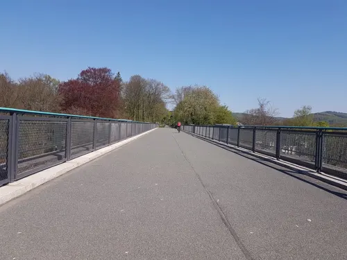

Haus Hove
Monument and historic site · 1.1 km
7a Haus Hove, Wetter (Ruhr)


Bürgerhaus
Monument and historic site
132 Kaiserstraße, Wetter (Ruhr)

Freiherr-vom-Stein-Turm
Monument and historic site · 2.3 km
62 Freiherr-vom-Stein-Straße
Haus Mallinckrodt
Monument and historic site · 2.6 km
20 Gederner Straße

Leimkasten
Monument and historic site · 3.8 km
6 Kirchstraße, Wetter (Ruhr)

Museum für Ur- und Frühgeschichte
Museum · 1.5 km
1 Werdringen, Hagen
We-Fr 10:00-17:00; Sa-Su, PH 11:00-18:00
Rechenzentrum Volmarstein
Monument and historic site · 3.1 km
21 Grundschötteler Straße, Wetter (Ruhr)
129 more on the map.
Parks, trails and playgrounds55

Harkortsee-Naturbad Wetter/Ruhr
Sports field and stadium · 0.6 km
38 Gustav-Vorsteher-Straße, Wetter (Ruhr)
Jun 04-Sep 01: Mo-Fr 08:00-10:00,13:00-18:00; Sa-Su 10:00-19:00;...


Kanuverein Wasserwanderer Hagen e.V.
Park · 3.0 km
Vereinsgelände des KVW Hagen e.V. DKV Kanustation.



43 more on the map.
Restaurants and cafes147
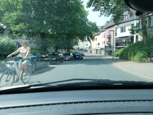


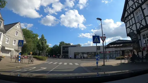
Café und Konditorei Wenning
Cafe · Cake · 2.9 km
Hauptstraße, Herdecke
Mo off; Tu-Sa 09:00-18:00; Su,PH 10:00-18:00
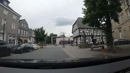
Eis Factory
Cafe · Cake, Ice Cream, Breakfast · 2.9 km
1 Hauptstraße, Herdecke
Mo,We,Th 09:00-19:00; Fr,Sa 09:00-20:00; Su 10:00-19:00; Tu off
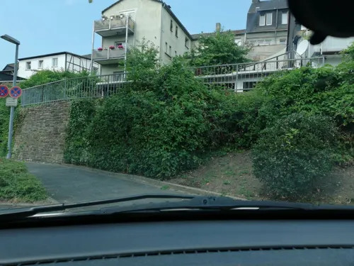
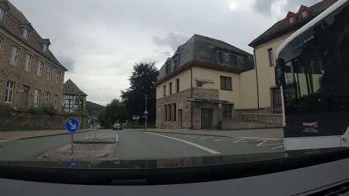
Haus Pfingsten
Restaurant · German · 3.1 km
1 Bahnhofstraße
Tu-Th 17:00-21:00; Fr-Sa 12:00-22:00; Su 12:00-21:00
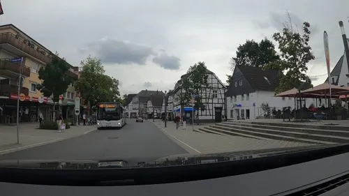
Korkenzieher Weinlokal
Bar and pub · Sandwich · 2.9 km
4 Kampstraße, Herdecke
Mo off; Tu-We,Fr-Sa 14:00-22:00; Th 12:00-22:00; Su,PH 14:00-21:00...
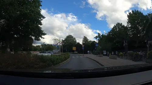
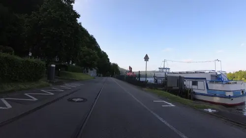


Proto im Schiffwinkel
Restaurant · Greek, Seafood · 4.2 km
35 Im Schiffwinkel, Herdecke
Mo-Su,PH 12:00-22:00
135 more on the map.
History
The town of Wetter is first documented in the year 1214 in relation with the Castle Wetter and the knights Bruno and Friedrich. Another famous castle ruin is the Castle Volmarstein which was built in the 11th century by the archbishop of Cologne Frederick I. The castle is located on the other side of the Ruhr in the district of Volmarstein which has been part of Wetter since the municipal community-reform in 1970.
In 1819 Friedrich Harkort founded the first industrial workshop at Castle Wetter, producing steam engines and gas light equipment. Thus he did not just develop education and social policy but also laid the cornerstone of the early industrialization of the Ruhr area and Germany. The reservoir between Wetter and Herdecke, Harkortsee, and the highest mountain in the area, Harkortberg, were both named after him.
Due to the lowering bombardments in 1944/45, during the Second World War, the town became the domicile of the Reichsgau south-Westfalia, originally residing in Bochum.
From the History section of Wetter (Ruhr) on Wikipedia, under CC BY-SA 4.0.
Where to stay15
Churches and places of worship37
Liebfrauenkirche
Church · Roman Catholic · 2.9 km
23 Liebfrauenstraße, Hagen
Shopping49
Gas and EV charging19
Schools, colleges and libraries40
Healthcare16
Map of Wetter
250 places. The map loads OpenStreetMap tiles when you open it.
Getting there and nearby towns
Dortmund Airport (DTM) is the nearest airport with scheduled flights listed in OpenStreetMap, 21 km away.
- Wetter (Ruhr) map
- Hagen 6 km southeast, about 6 min by car
- Witten 7 km northwest, about 7 min by car
- Dortmund 15 km north, about 15 min by car
- Bochum 16 km northwest, about 16 min by car
- Herne 20 km northwest, about 20 min by car
- Wuppertal 22 km southwest, about 22 min by car
- Wickede 22 km northeast, about 22 min by car
- Gelsenkirchen 24 km northwest, about 24 min by car
- Essen 27 km west, about 27 min by car
- Remscheid 27 km southwest, about 27 min by car
Drive times are estimates from straight-line distance, not routes.
Local news
Headlines from INDB.
Reviews, tips and questions
Loading what members have shared...
Sources and licences
- GeoNames (CC BY 4.0): population, coordinates, regions and time zone
- Mapillary (see each image): photos
- OpenStreetMap contributors (ODbL 1.0): places, airports, map data
- Wikidata (CC0 1.0): elevation, founding date, time zone, website, landmarks and historic places
- Wikimedia Commons (see each image): photos
- Wikipedia (CC BY-SA 4.0): overview and history text
Photo credits
- WetterFreiheitHarkortsee, Holger1959, CC BY-SA 3.0
- Kaiserstrasse130-WetterRuhr, Th. Schmitz (Wetter), CC BY-SA 3.0
- LudwigBönnhoff-AlterFriedhof-WetterRuhr, Th. Schmitz (Wetter), CC BY-SA 3.0
- Hochstrasse21-WetterRuhr, Th. Schmitz (Wetter), CC BY-SA 3.0
- Theodor-Heuss-Str., ev. Gemeindehaus, Wetter (Ruhr) IMAG2187, Th. Schmitz, CC BY 3.0
- Grabmal.Bornstr.wetter.ruhr, Fecriye Doğan, CC BY-SA 4.0
- Wilhelmstrasse24-WetterRuhr, Th. Schmitz (Wetter), CC BY-SA 3.0
- Kriegerehrenmal-Wilhelmstrasse-WetterRuhr, Th. Schmitz (Wetter), CC BY-SA 3.0
- Grabmal. Bornstr. Wetter, Fecriye Doğan, CC BY-SA 4.0
- Poststrasse1-WetterRuhr, Th. Schmitz (Wetter), CC BY-SA 3.0
- StatueStRafael-WetterRuhr, Th. Schmitz (Wetter), CC BY-SA 3.0
- Bismarckstrasse15-WetterRuhr, Th. Schmitz (Wetter), CC BY-SA 3.0
- Theodor-Heuss-Str. 16, Wetter (Ruhr) IMAG2188, Th. Schmitz, CC BY 3.0
- Koenigstrasse69-WetterRuhr, Th. Schmitz (Wetter), CC BY-SA 3.0
- Koenigstrasse78-WetterRuhr, Th. Schmitz (Wetter), CC BY-SA 3.0
- Königstraße 69 (Wetter (Ruhr)), DiAuras, CC BY-SA 4.0
- Bergstrasse25-WetterRuhr, Th. Schmitz (Wetter), CC BY-SA 3.0
- Bergschule, Wetter (Ruhr) IMAG2069, Th. Schmitz, CC BY-SA 4.0
- Wetter, Gartenstr. 33 IMAG2078, Th. Schmitz, CC BY-SA 4.0
- Wetter Lutherkirche, Raenmaen, CC BY-SA 3.0
- Königstrasse13-WetterRuhr, Th. Schmitz (Wetter), CC BY-SA 3.0
- Kaiserstrasse161-WetterRuhr, Th. Schmitz (Wetter), CC BY-SA 3.0
- Wetter Kaiserstr151, Th. Schmitz (Wetter), CC BY-SA 3.0
- Koenigstrasse96-WetterRuhr, Th. Schmitz (Wetter), CC BY-SA 3.0
- Koenigstrasse79-WetterRuhr, Th. Schmitz (Wetter), CC BY-SA 3.0
- GedenktafelVillaVorsteher-WetterRuhr, Th. Schmitz (Wetter), CC BY-SA 3.0
- Harkortstrasse23-WetterRuhr, Th. Schmitz (Wetter), CC BY-SA 3.0
- NeuapostolischeKirche-WetterRuhr, Th. Schmitz (Wetter), CC BY-SA 3.0
- Koenigstrasse10-WetterRuhr, Th. Schmitz (Wetter), CC BY-SA 3.0
- Theaterhagen, Bärwinkel,Klaus, CC BY 3.0
- Fernuni Hagen 3, Bärwinkel,Klaus, CC BY-SA 4.0
- UniWitten aussen Front1, Unknown author, CC BY-SA 3.0
- Ruine Volmarstein, TaubeNuss, CC BY-SA 3.0
- Seilhängebrücke am Kaltenborn, Ansicht von Westen, Alpenadam, CC BY-SA 3.0
- Dorfkirche Wengern IMAG2250, Th. Schmitz, CC BY 3.0
- Freiherr-vom-Stein-Turm (Hagen), Tbachner, CC BY-SA 3.0
- Wetter - Limbecker Weg - Schlebuscher Erbstollen 03 ies, Frank Vincentz, CC BY-SA 3.0
- Wetter - Haus Hove - Haus Hove 11 ies, Frank Vincentz, CC BY-SA 3.0
- Gemeinschaftskrankenhaus Herdecke en aŭtuno 01, ThomasPusch, CC BY-SA 4.0
- Haus Schede, Morty, CC BY-SA 3.0
- Haus Harkorten - Herrenhaus 01, Hans-Peter Eckhardt, CC BY-SA 2.0 de
- Wetter Wengern - Elbscheweg1-Henriette-Davidis-Museum 02 ies, Frank Vincentz, CC BY-SA 3.0
- NSG-EN-006-RuhraueWittenGedernSpiek, Holger1959, CC BY-SA 3.0
- Kermelbach im Wald flussabwärts, südliches Ende des Naturschutzgebietes, Naturelover76, CC BY-SA 4.0
- Hagen Kaisbergaue, Bärwinkel,Klaus, CC BY 3.0
- Hagen NSG-Ehemaliger Yachthafen Harkortsee, Bärwinkel,Klaus, CC BY 3.0
- Hagen NSG-Funckenhauser Bachtal, Bärwinkel,Klaus, CC BY 3.0
- Kreuzkirche Vorhalle 7, Bärwinkel,Klaus, CC BY-SA 4.0
- Hagen, Liebfrauenkirche, Bärwinkel,Klaus, CC BY 3.0
- Wetter-Volmarstein, Hartmannstr. 7, Martinskirche, von W, Im Fokus, CC BY-SA 4.0
- Harkortturm, Quersus, CC BY-SA 3.0
- Viadukt Wengern, Markus Schweiß, CC BY-SA 3.0
- RuhrViadukt, Stefan Scheer, CC BY-SA 3.0
- Aufgang zur Brücke mit verschlossenem Tor, Alpenadam, CC BY-SA 3.0
- BurgruineVolmarstein, paudir, CC BY 2.0
- Wetter - Haus Hove - Haus Hove 04 ies, Frank Vincentz, CC BY-SA 3.0
- Schlebuscher erbstollen01, Markus Schweiß at de.wikipedia, CC BY-SA 3.0
- Wetter Wengern - Kirchstraße6Leimkasten 06 ies, Frank Vincentz, CC BY-SA 3.0
- Felshang über dem Harkortsee (10), DiAuras, CC BY-SA 4.0
- Witten Sun, Raenmaen, CC BY-SA 3.0
- Wetter - Burgstraße - Reformierte Kirche 05 ies, Frank Vincentz, CC BY-SA 3.0
- Dorfkirche zu Kirchende11015, Rainer Halama, CC BY-SA 3.0
- Witten Kapelle Gedern 2, Raenmaen, CC BY-SA 3.0
- Ehemalige Turnhalle, Theodor-Heuss-Str. 1, Alpenadam, CC BY-SA 3.0
- Street-level photo, thoschi, CC BY-SA 4.0
- Street-level photo, thoschi, CC BY-SA 4.0
- Street-level photo, uwekoch, CC BY-SA 4.0
- Street-level photo, uwekoch, CC BY-SA 4.0
- Street-level photo, uwekoch, CC BY-SA 4.0
- Street-level photo, uwekoch, CC BY-SA 4.0
- Street-level photo, uwekoch, CC BY-SA 4.0
- Street-level photo, thoschi, CC BY-SA 4.0
- Street-level photo, thoschi, CC BY-SA 4.0
- Street-level photo, thoschi, CC BY-SA 4.0
- Street-level photo, thoschi, CC BY-SA 4.0
- Street-level photo, uwekoch, CC BY-SA 4.0
- Street-level photo, thoschi, CC BY-SA 4.0
- Street-level photo, thoschi, CC BY-SA 4.0
- Street-level photo, uwekoch, CC BY-SA 4.0
- Street-level photo, teddy73, CC BY-SA 4.0
- Street-level photo, changchun1, CC BY-SA 4.0
- Street-level photo, thoschi, CC BY-SA 4.0
- Street-level photo, uwekoch, CC BY-SA 4.0
- Street-level photo, thoschi, CC BY-SA 4.0
- Street-level photo, thoschi, CC BY-SA 4.0


).jpg)


Page built November 8, 2026. Spotted a mistake? Tell us or suggest a place.