


Why visit Überherrn
Townapedia lists 27 museums and landmarks, 6 parks and trails, 25 places to eat, 8 places to stay and 2 attractions in and around town.
Highlights include Sauberg, Ehemalige Sendehalle des Senders Europe 1, Europa Denkmal and Bistaue - Landesgrenze.
Weather in Überherrn
Forecast from MET Norway (CC BY 4.0). Full forecast
About Überherrn
Überherrn (German pronunciation: [ˈyːbɐˌhɛʁn]) is a municipality in the district of Saarlouis, in Saarland, Germany. It is situated along the river Bist on the border with France, approximately 10 km (6.21 mi) southwest of Saarlouis, and 20 km (12.43 mi) west of Saarbrücken. It has 11,373 inhabitants (2020). At the locality Felsberg-Berus, there is the Longwave transmitter Europe 1.
From the Wikipedia article Überherrn (this version), under CC BY-SA 4.0.
Things to do2


Museums and landmarks27

Ehemalige Sendehalle des Senders Europe 1
Monument and historic site · 4.6 km
101 Ittersdorfer Straße, Überherrn


Gleisabschnitt
Monument and historic site · 1.2 km
Gleisabschnitt der ehem. Straßenbahnlinie
Beobachtungskuppel
Monument and historic site · 1.7 km
Stählerne Ein-Mann "Beobachtungsunterstand"
ehem US Munitionsdepot Differten Point Rass 9A
Monument and historic site · 5.2 km
Hier wurde nur konventionelle Munition gelagert. Keine Atomwaffen. Kann ich sagen da ich bis 1993 zur Wachmanschaft gehört habe. D9 Stefan
Gefallenendenkmal
Monument and historic site · 1.8 km
Granitsäule mit Gefallenendaten 14-18 und zwei kleinere Granitsäulen mit Gefallenen39-45
Hauptantenne Europe 1, einstiger Mast 1
Monument and historic site · 4.9 km
Radio LW 183 kHz
15 more on the map.
Parks, trails and playgrounds6




Restaurants and cafes25
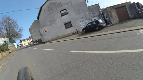
Bistro Monika
Restaurant · Pizza, Regional, Burger, Italian · 2.5 km
3 An der Port, Berus
Mo-Sa 16:00-22:00; Su 11:00-14:00, 16:00-22:00
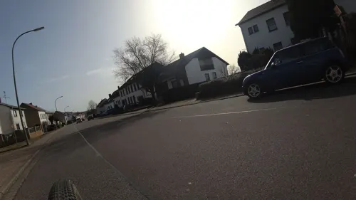
Maison Creative
Cafe · 3.8 km
28 Saarlouiser Straße, Überherrn
Tu-Th 09:30-18:00; Fr-Sa 09:30-20:00; Su 14:00-20:00
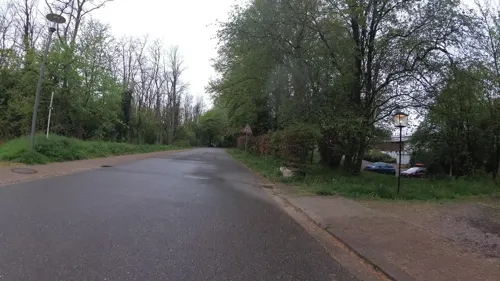
Margaretenhof
Restaurant · 3.1 km
1 Margaretenhof, Überherrn
Mo-We,Fr 18:00-22:00; Sa 15:00-22:00; Su,PH 12:00-22:00
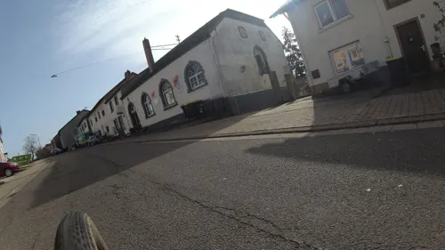
Beruser Hof
Restaurant · Regional, German, Barbecue · 2.5 km
25 An der Port, Berus
Tu-Su 17:00-01:00





13 more on the map.
Where to stay8
Churches and places of worship11
St. Matthias
Church · Roman Catholic · 3.7 km
25 Felsberger Straße, Überherrn
Shopping6
Gas and EV charging3
Schools, colleges and libraries5
Healthcare5
Map of Überherrn
98 places. The map loads OpenStreetMap tiles when you open it.
Getting there and nearby towns
Saarbrücken Airport (SCN) is the nearest airport with scheduled flights listed in OpenStreetMap, 30 km away.
- Wadgassen 7 km northeast, about 7 min by car
- Bous 8 km northeast, about 8 min by car
- Ludweiler-Warndt 9 km east, about 9 min by car
- Saarlouis 9 km northeast, about 9 min by car
- Ensdorf 9 km northeast, about 9 min by car
- Saarbrücken 23 km east, about 23 min by car
- Wadern 36 km north, about 36 min by car
- Zweibrücken 49 km east, about 49 min by car
- Trier 57 km north, about 57 min by car
- Wittlich 84 km north, about 1 h 30 min by car
Drive times are estimates from straight-line distance, not routes.
Local news
Headlines from INDB.
Reviews, tips and questions
Loading what members have shared...
Sources and licences
- GeoNames (CC BY 4.0): population, coordinates, regions and time zone
- Mapillary (see each image): photos
- OpenStreetMap contributors (ODbL 1.0): places, airports, map data
- Wikidata (CC0 1.0): elevation, founding date, time zone, website
- Wikimedia Commons (see each image): photos
- Wikipedia (CC BY-SA 4.0): overview and history text
Photo credits
- Alter Bahnhof Überherrn, Blick nach Westen - panoramio, Whereismymind, CC BY 3.0
- Alter Bahnhof Überherrn, Blick nach Osten - panoramio, Whereismymind, CC BY 3.0
- Überherrn, church St. Bonifatius, Christmas crib, Dguendel, CC BY 3.0
- Überherrn, church St. Bonifatius, the pulpit, Dguendel, CC BY 3.0
- Kloster Überherrn, LoKiLeCh, CC BY-SA 4.0
- Überherrn, the church St. Bonifatius, Dguendel, CC BY 3.0
- Weltkriegsdenkmal Überherrn 15 58 57 088000, Sebastian Wallroth, CC BY 4.0
- Weltkriegsdenkmal Überherrn 15 56 28 956000, Sebastian Wallroth, CC BY 4.0
- Weltkriegsdenkmal Überherrn, Sebastian Wallroth, CC BY 4.0
- Wegekreuz Überherrn (78325), LoKiLeCh, CC BY-SA 4.0
- Wegekreuz Überherrn, LoKiLeCh, CC BY-SA 4.0
- Wohnstadt (Überherrn), the church St. Monika, Dguendel, CC BY 3.0
- Felsberg-Berus Antennen, -- Xocolatl ( talk ) 16:04, 15 April 2010 (UTC), Public domain
- Altforweiler St. Matthias 01, atreyu, CC BY-SA 3.0
- Berus St. Martin 01, atreyu, CC BY-SA 3.0
- Überherrn St. Bonifatius 03, atreyu, CC BY-SA 3.0
- Überherrn, the Linslerhof, Dguendel, CC BY 3.0
- Bisten Kirche, LoKiLeCh, CC BY-SA 4.0
- Orannakapelle, Lokilech, CC BY-SA 3.0
- Berviller chapelle st blaise, Kapipelmo, Public domain
- Friedrichweiler St. Franziskus 03, atreyu, CC BY-SA 3.0
- Europadenkmal, A. Josef Dernbecher, CC BY-SA 3.0
- Median Klinik Berus 13 33 44 590000, Sebastian Wallroth, CC BY 4.0
- Westlich Berus 2025 008, Sebastian Wallroth, CC BY 4.0
- St. Bonifatius (54307), LoKiLeCh, CC BY-SA 4.0
- Denkmal WW1, LoKiLeCh, CC BY-SA 4.0
- Denkmal WW2, LoKiLeCh, CC BY-SA 4.0
- Wiese bei der Wohnstadt 2015 - panoramio, Whereismymind, CC BY 3.0
- Französische Grenze - panoramio, Whereismymind, CC BY 3.0
- Berus bei Nacht - panoramio, Whereismymind, CC BY 3.0
- Bieten Straßenbahn, LoKiLeCh, CC BY-SA 4.0
- Bisten Josef Sauter Platz, LoKiLeCh, CC BY-SA 4.0
- Bisten Mahnmal, LoKiLeCh, CC BY-SA 4.0
- Gefallene Eiche im Sonnenschein - panoramio, Whereismymind, CC BY 3.0
- Street-level photo, teddy73, CC BY-SA 4.0
- Street-level photo, teddy73, CC BY-SA 4.0
- Street-level photo, teddy73, CC BY-SA 4.0
- Street-level photo, teddy73, CC BY-SA 4.0
- Street-level photo, teddy73, CC BY-SA 4.0
- Street-level photo, teddy73, CC BY-SA 4.0
- Street-level photo, teddy73, CC BY-SA 4.0
- Street-level photo, teddy73, CC BY-SA 4.0
- Street-level photo, teddy73, CC BY-SA 4.0
- Street-level photo, teddy73, CC BY-SA 4.0
- Street-level photo, anzur, CC BY-SA 4.0


Page built November 8, 2026. Spotted a mistake? Tell us or suggest a place.